Spile Dam - FS 3130
Total Miles
1.6
Technical Rating
Best Time
Spring, Summer, Fall, Winter
Trail Type
Full-Width Road
Accessible By
Trail Overview
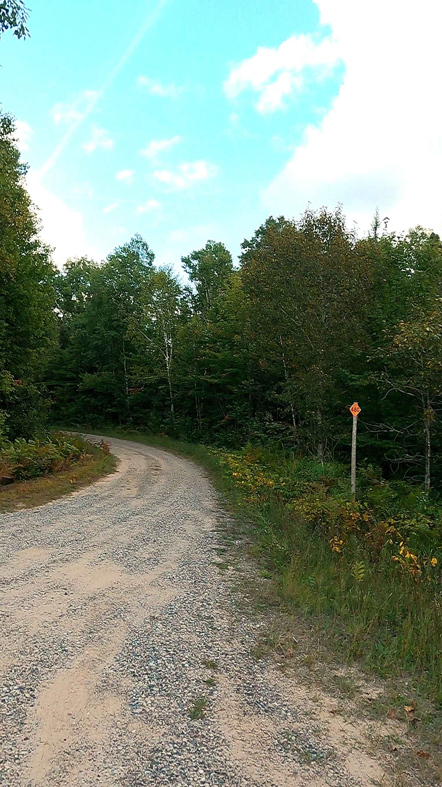
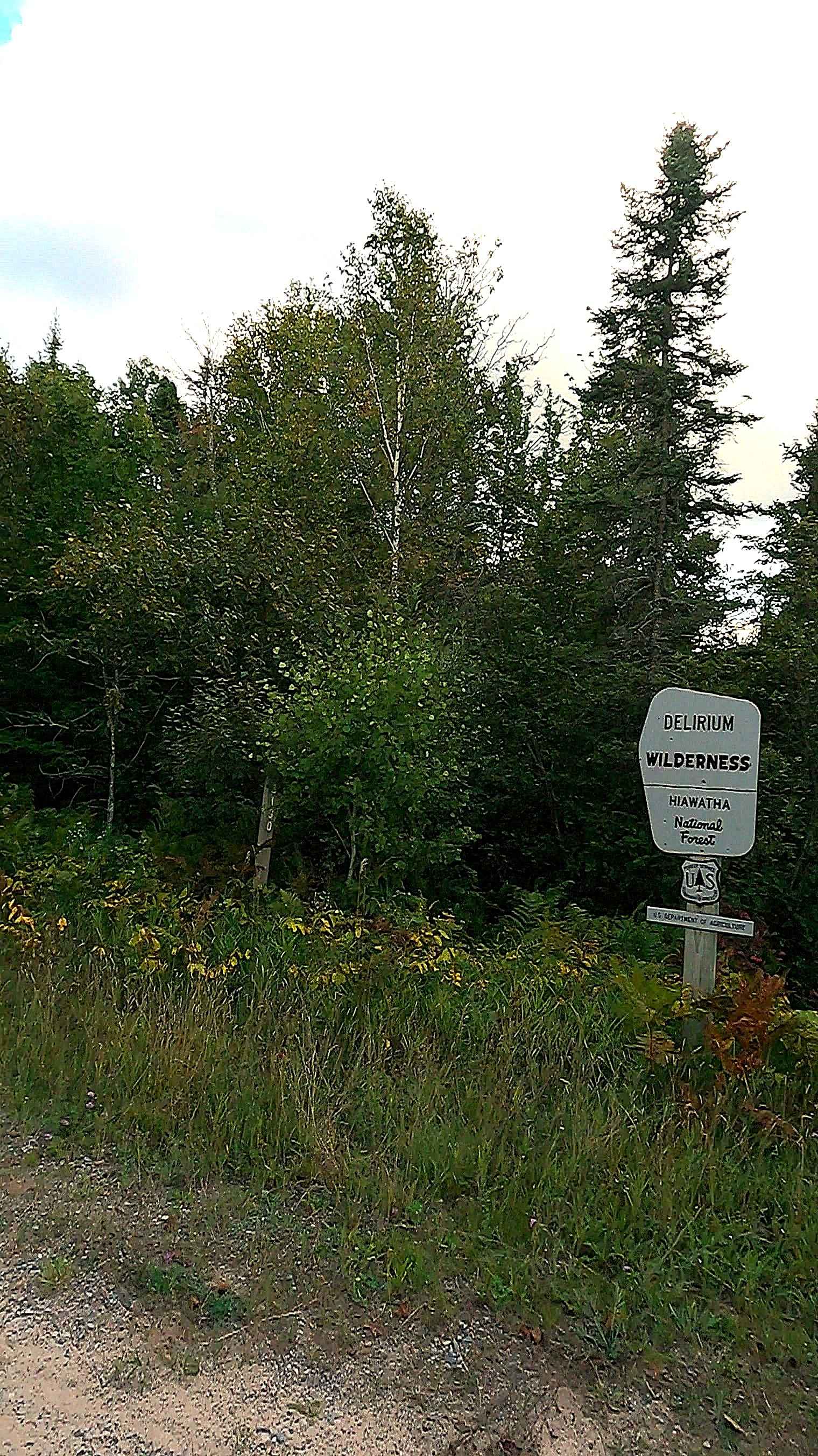
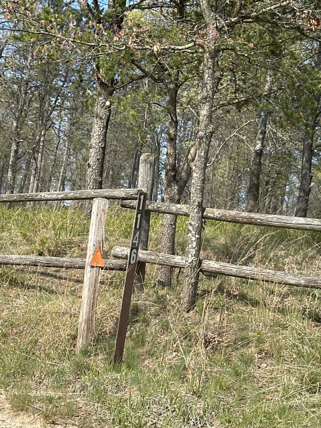
Federal Forest Service Road (FS) 3130, also known as Spile Dam, is a federally owned/ locally maintained, Level-2/ Level-3 forest road with a surface composition of dirt, sand, gravel, and native material. This route is currently open and in fair condition; it is not a DNR road (ORV use is subject to local government regulations) that offers access from FS 3352- Waishkey River Truck Trail to Spile Dam. This is a "There-and-back" route. Description created on September 11, 2025.
Photos of Spile Dam - FS 3130
Difficulty
Dirt, gravel, and sand road with gentle grades. Safe for most 4WD and high-clearance 2WD vehicles. This road is typically two vehicles wide and narrows down to a "Two Track" before the river/ dam.
History
The Waishkey River area near Raco, Michigan, is steeped in history, originating as a logging hub in the early 20th century named for the Richard and Avery Company (R.A.C.O). The region, located within the Hiawatha National Forest, features trails that reflect its history as a lumber town, a Cold War-era military site, and part of the Hiawatha National Forest, which was shaped by Depression-era reforestation efforts. Logging Roots: Raco was a logging town with a population of 200 by 1917, featuring a bank and rail loading ground. Fire Observation: The first fire tower in Michigan was located near Raco on a pine tree near M-28, which was removed in 1928 when the road was improved. Military Significance: In 1940, a nearby airfield was established to refuel aircraft traveling to Alaska and to protect the Soo Locks. Modern Era: The area is now known for natural beauty, including the Waishkey River watershed and nearby historical sites.
Status Reports
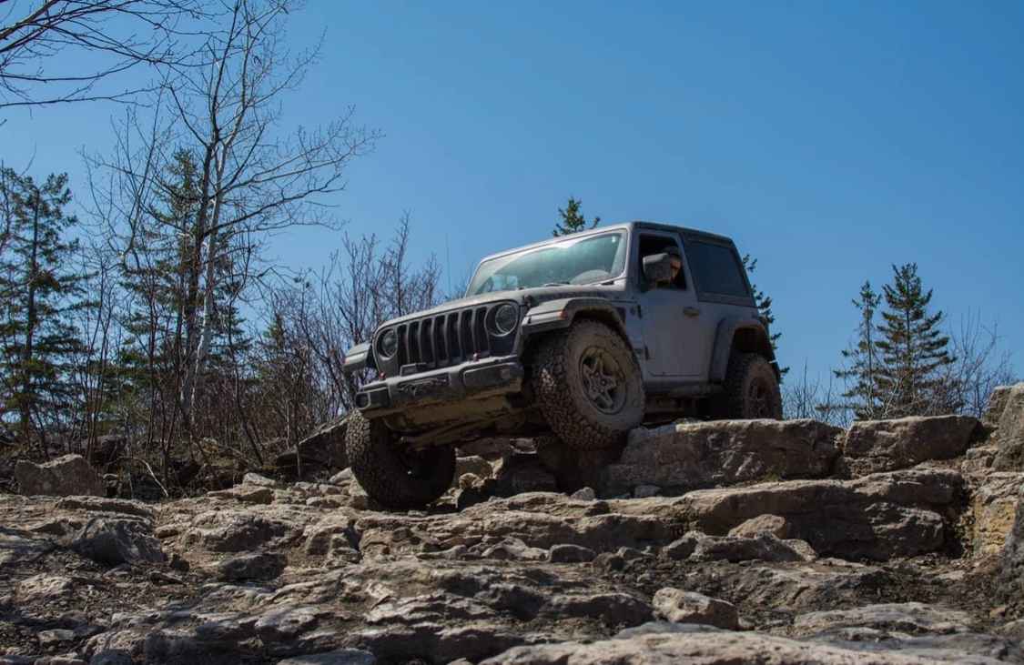
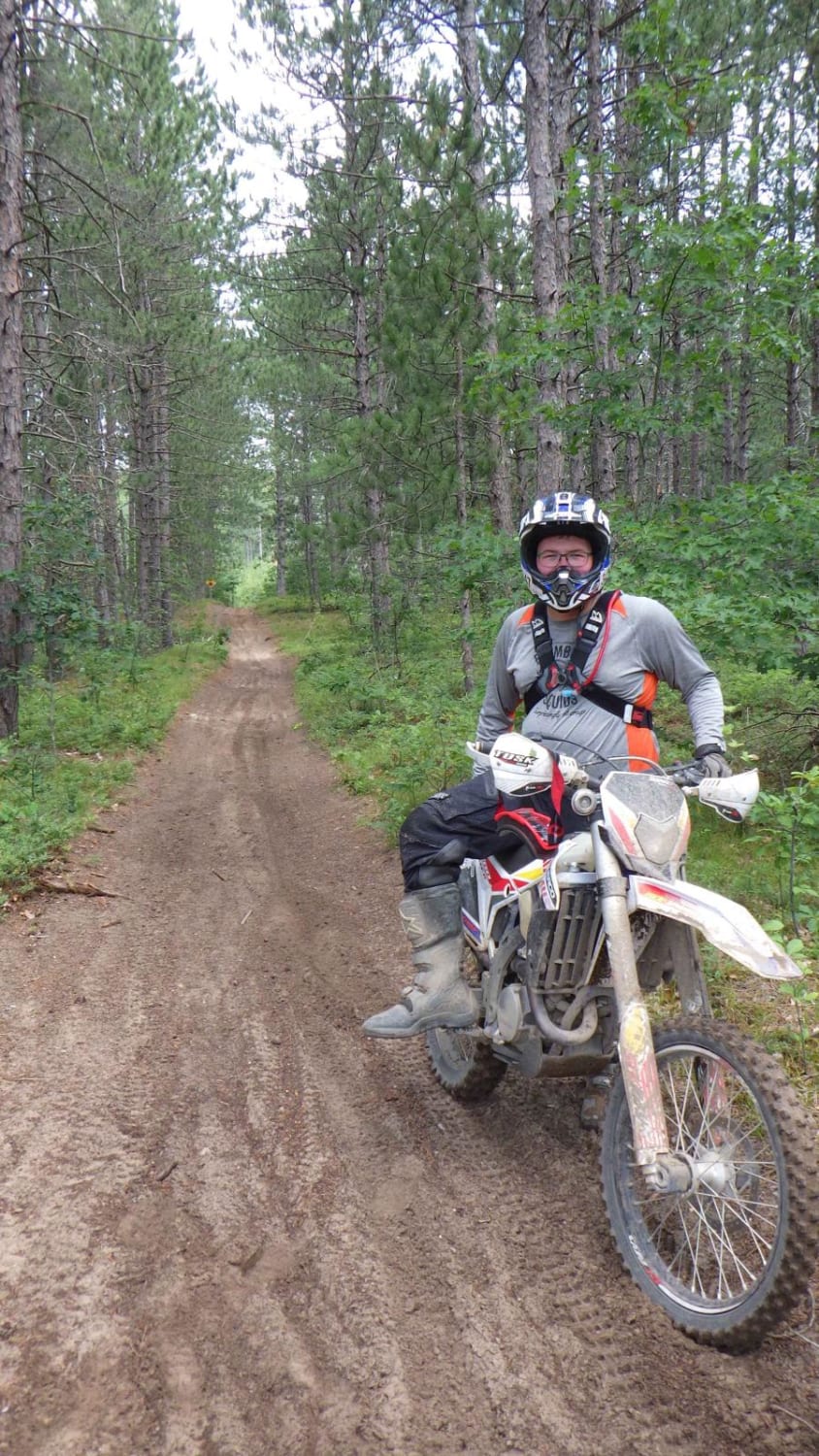
Spile Dam - FS 3130 can be accessed by the following ride types:
- High-Clearance 4x4
- SUV
- SxS (60")
- ATV (50")
- Dirt Bike
Spile Dam - FS 3130 Map
Popular Trails

Sand Lake Road - FS 4436
North Route to Marble Head
Fredrick ORV West
The onX Offroad Difference
onX Offroad combines trail photos, descriptions, difficulty ratings, width restrictions, seasonality, and more in a user-friendly interface. Available on all devices, with offline access and full compatibility with CarPlay and Android Auto. Discover what you’re missing today!