Red Creek Road - FS 3118
Total Miles
5.1
Technical Rating
Best Time
Spring, Summer, Fall
Trail Type
Full-Width Road
Accessible By
Trail Overview
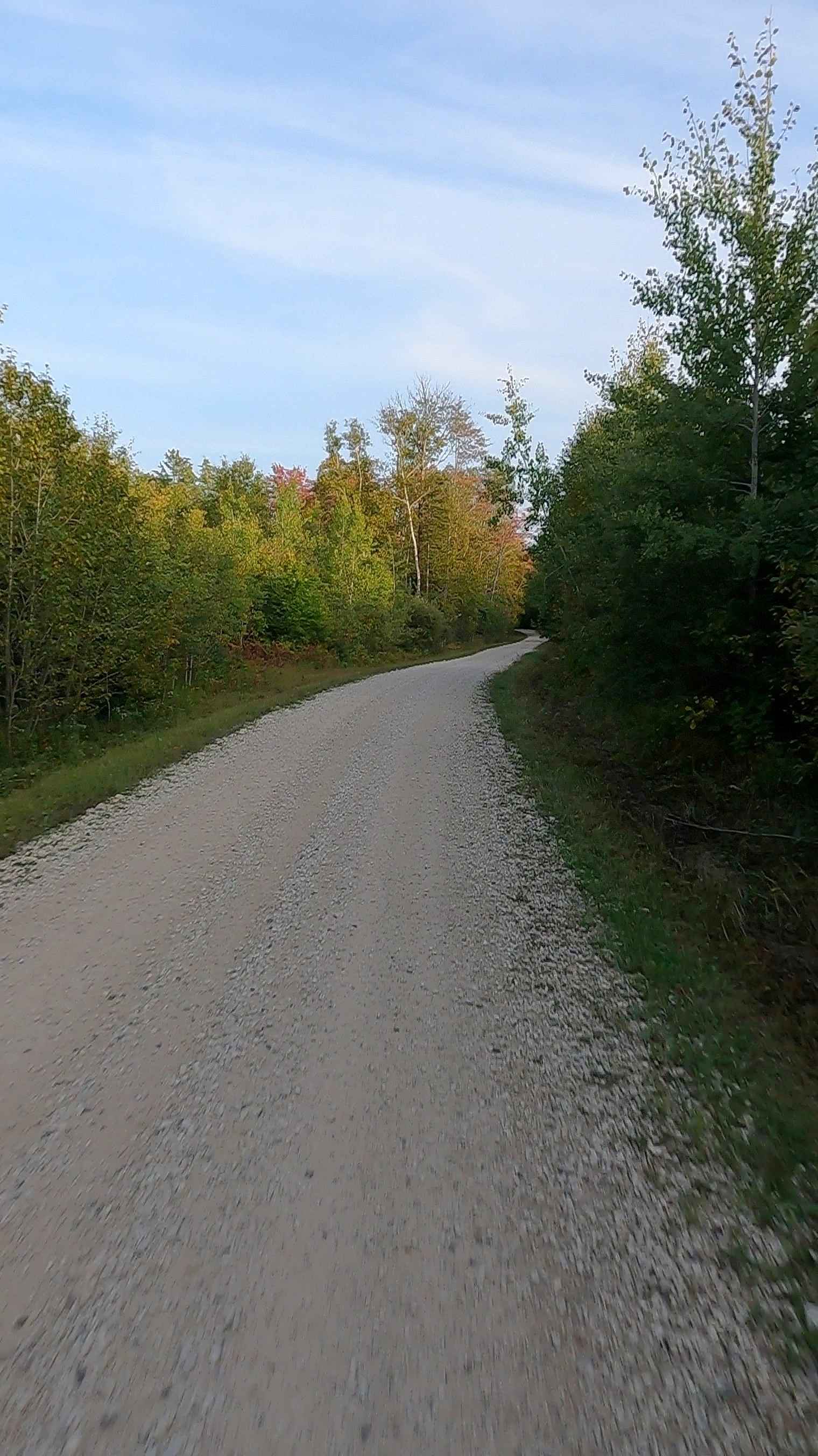
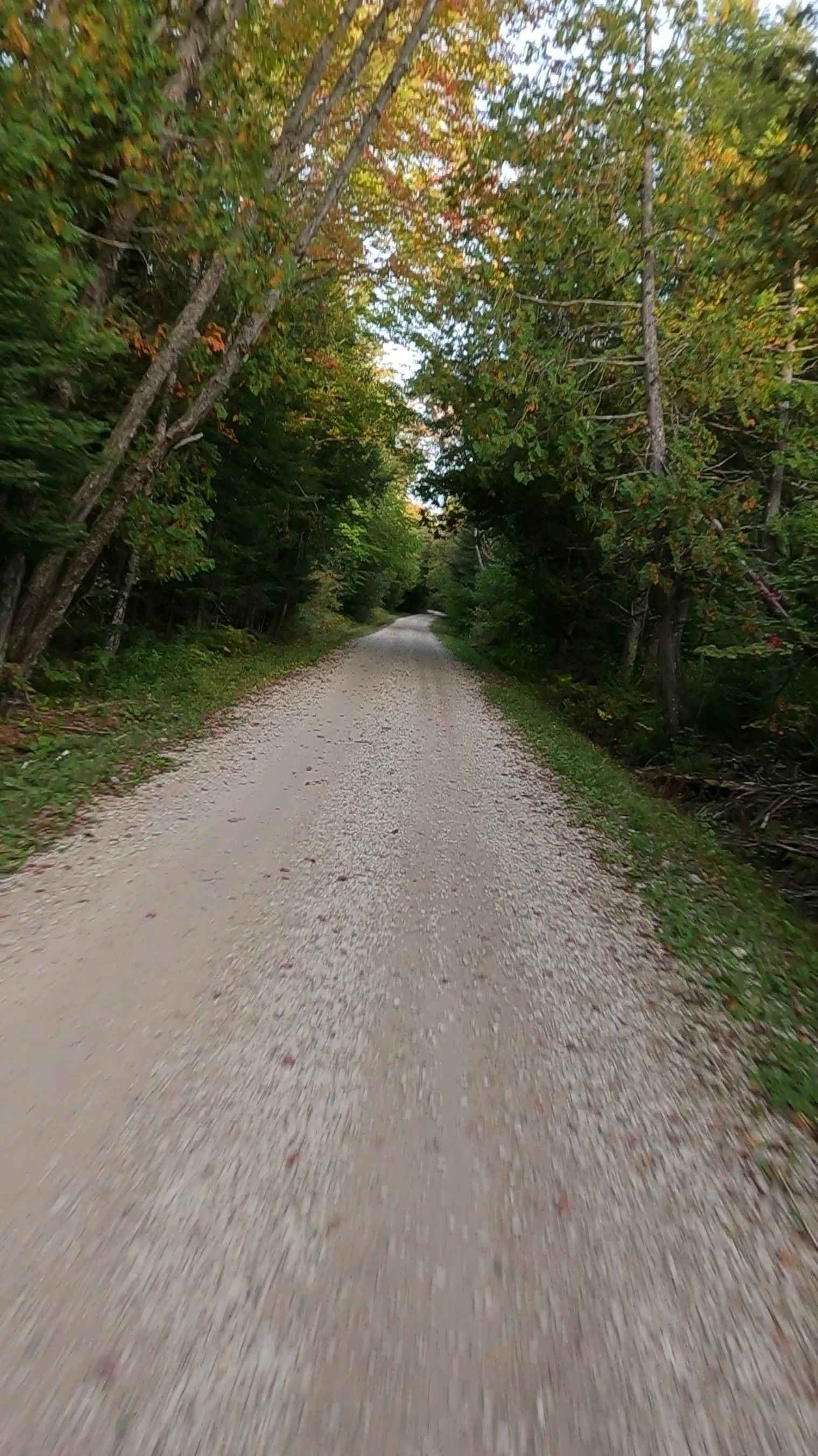
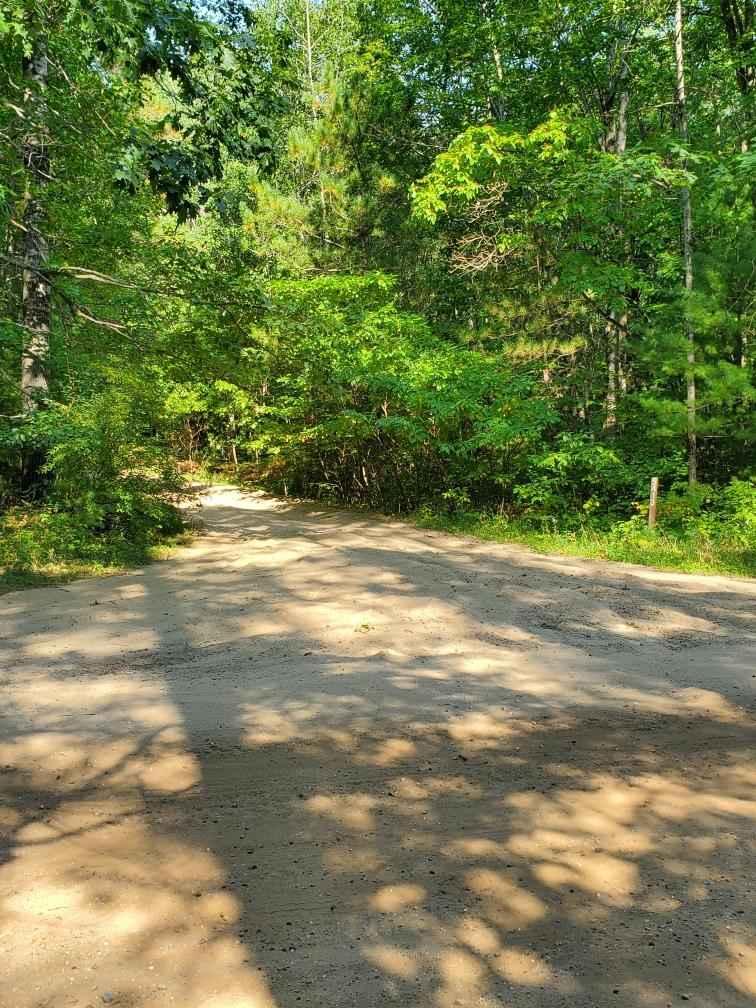
Federal Forest Service Road (FS) 3118; Red Creek Road, also known as Gorman Road, is a federally owned/ locally maintained, Level-2/ Level-3 forest road with a surface composition of dirt, gravel, sand and native material. This route is currently open and in fair condition; it is not a DNR road (ORV use is subject to local government regulations). It connects East Lake Road (ORV Route AN) to FS 3785, FS 3116C, FS 3118B, FS 3147 to H63 Mackinac Trail . Description created on September 17, 2025.
Photos of Red Creek Road - FS 3118
Difficulty
Gravel, dirt, sandy road, unmaintained after rain or snow, which may give rise to shallow water crossings and obstacles under 12 inches on the trail, including small branches. This road is typically one to two vehicles in width.
History
This route, Red Creek Road, is named after the local Red Creek. As a transportation corridor, this route follows the paths and trails used by early indigenous inhabitants and later settlers.
Status Reports
Red Creek Road - FS 3118 can be accessed by the following ride types:
- High-Clearance 4x4
- SUV
- SxS (60")
- ATV (50")
- Dirt Bike
Red Creek Road - FS 3118 Map
Popular Trails

Sand Lake Road - FS 4436

Brevoort River

Holms Road Loop
The onX Offroad Difference
onX Offroad combines trail photos, descriptions, difficulty ratings, width restrictions, seasonality, and more in a user-friendly interface. Available on all devices, with offline access and full compatibility with CarPlay and Android Auto. Discover what you’re missing today!