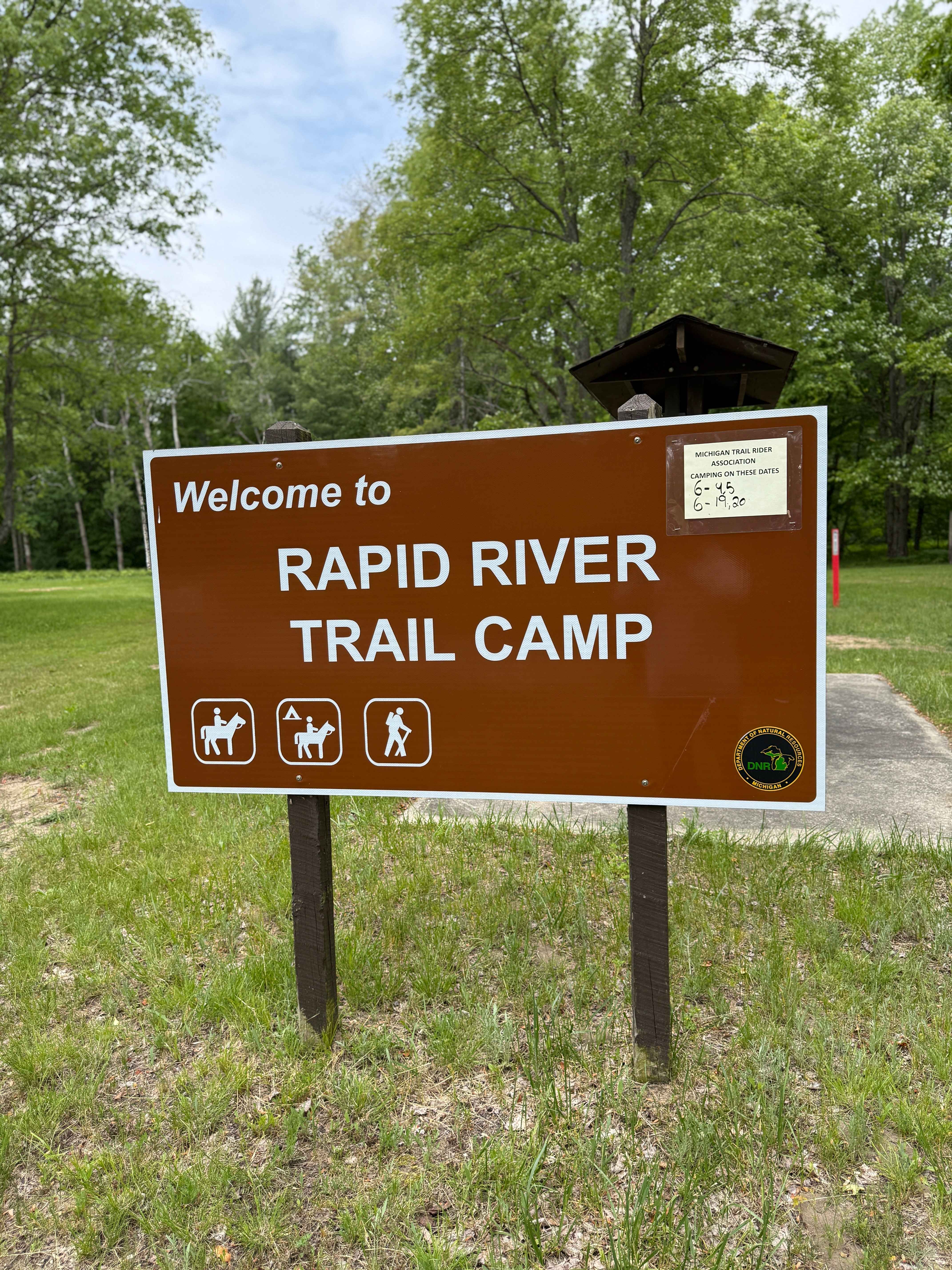
Rapid River Camp Trail
Total Miles
1.5
Technical Rating
Best Time
Spring, Summer, Fall, Winter
Trail Type
Full-Width Road
Accessible By
Trail Overview
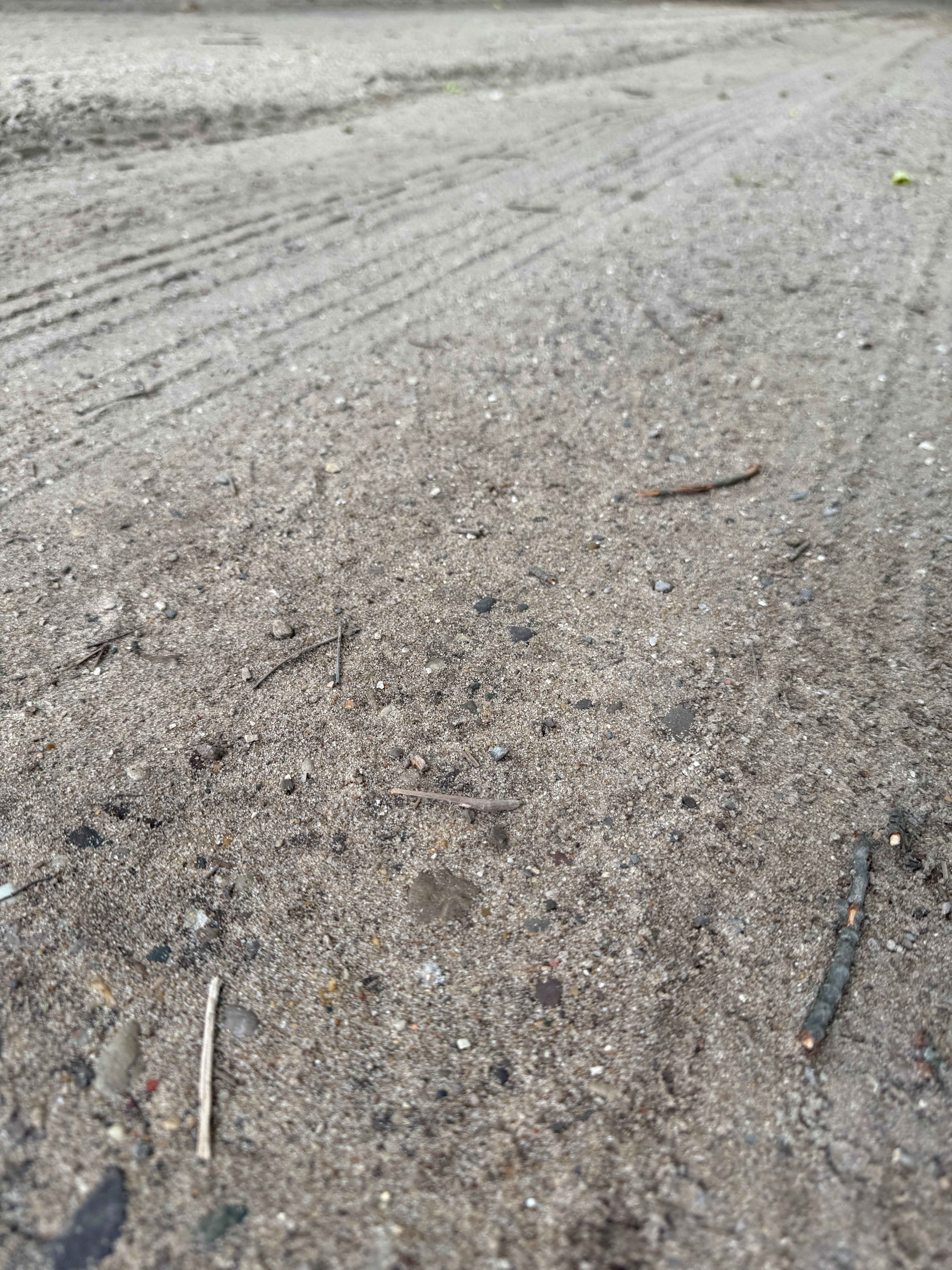
Rapid River Camp Trail is an exciting and fun bidirectional seasonal road within the Traverse City Forest Management Unit. Located just north of Kalkaska near highway US-131 & M-72, this trail is easily accessible. Starting from the northern end of Seeley Rd NW, you'll start on a thick section of the forest with lush vegetation edging the trail. 0.7 miles in, this route crosses over the Grand Traverse to Leetsville MCCCT as well as the Shore to Shore Horse Trail. If you're unfamiliar with the Shore to Shore, it's a historic ride beginning on the east side of Michigan in Au Sable near Lake Huron and traveling across the state to the west side to Empire near Lake Michigan, traveling 220 miles. As you continue down the trail, you'll twist and turn as you change in elevation. Be sure to take it all in and TREAD LIGHTLY so future generations can enjoy these public spaces. There are several sections with lots of gorgeous rows of towering pine trees. Rapid River Camp Trail will surely keep you entertained and engaged. Use caution when navigating this track, as several hiking & equestrian trails in the area are part of the Rapid River Trail. 1 mile into the trail, you'll come to the Rapid River Trail Cam, which is a State Forest Campground that offers 50 primitive campsites and also offers a few vault toilets. Recreation Passport is required for entry. There's posted signage with information for camping, as well as hiking and equestrian trail info here. If you plan on utilizing this primitive campground, again, PLEASE TREAD LIGHTLY. Like most of Michigan's off-road trails, conditions are dependent on the weather. Recent rainfall can cause unfavorable conditions on the trail, including downed trees, mud holes, and washouts. Come Prepared! Most of this trail is only wide enough for 1 vehicle, with limited places to pass. This is not a difficult trail at all, but it contains a lot of fun and beauty. This trail also gives access to other great trails nearby. The southern end of the trail finishes at North Birch Street on a fairly steep sandy section of the trail. Regardless of the conditions of this trail, it's a cool route to check out! As always, PLEASE TREAD LIGHTLY and be respectful of our public lands so future generations can have access to these trails!
Photos of Rapid River Camp Trail
Difficulty
This was only given a Technical Rating & Difficulty of 2 due to the trail typically only being wide enough for one to two vehicles. Otherwise, this trail could be rated as a 1.
Status Reports
Rapid River Camp Trail can be accessed by the following ride types:
- High-Clearance 4x4
- SUV
Rapid River Camp Trail Map
Popular Trails
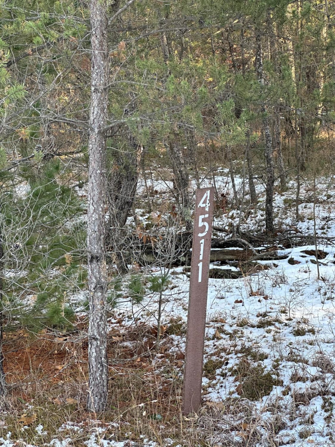
FS 4511 Loop
Cliff Hanger Ledge

NFS 5393/6034
The onX Offroad Difference
onX Offroad combines trail photos, descriptions, difficulty ratings, width restrictions, seasonality, and more in a user-friendly interface. Available on all devices, with offline access and full compatibility with CarPlay and Android Auto. Discover what you’re missing today!