Orchard Hill Road
Total Miles
1.8
Technical Rating
Best Time
Spring, Summer, Fall
Trail Type
Full-Width Road
Accessible By
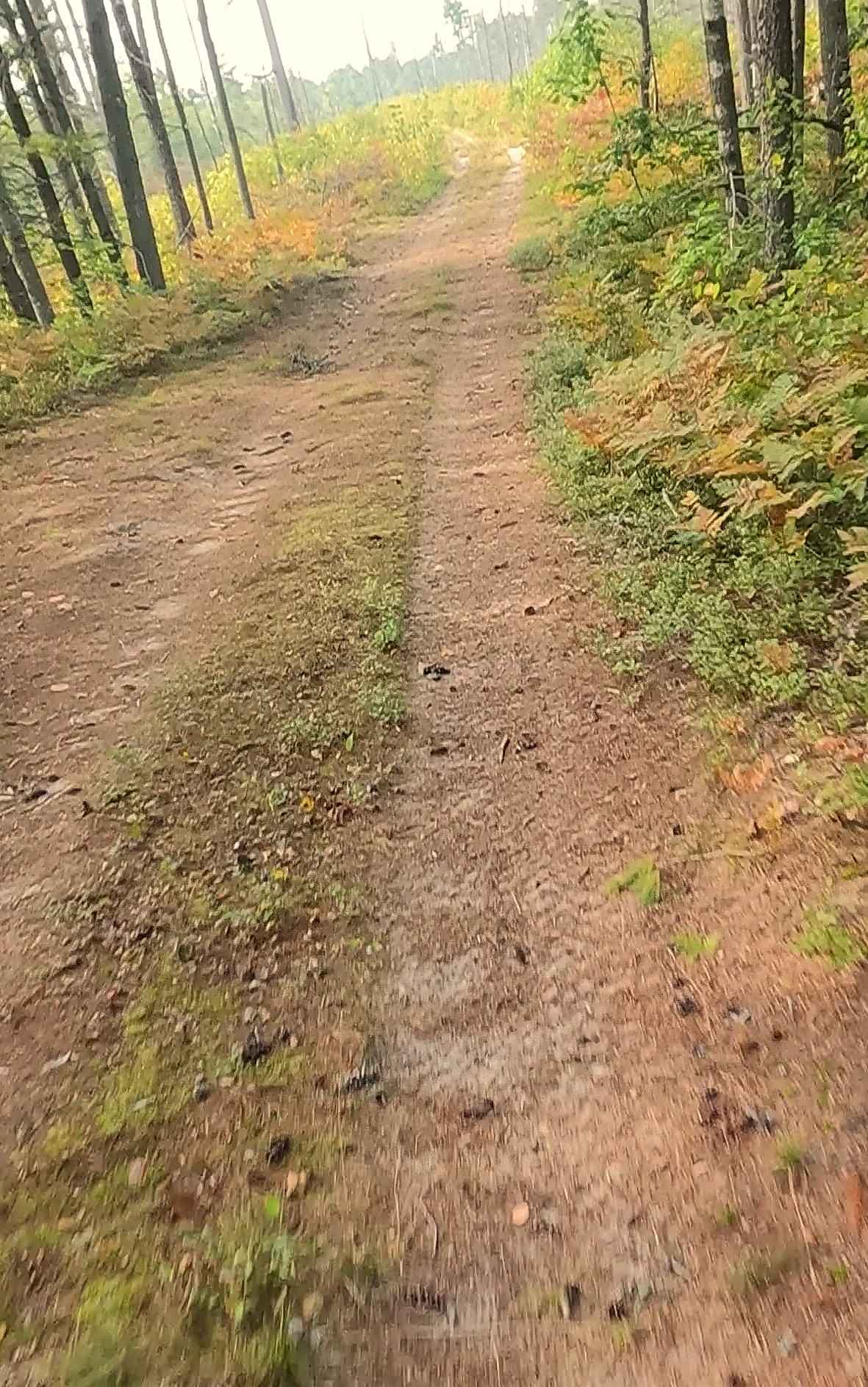
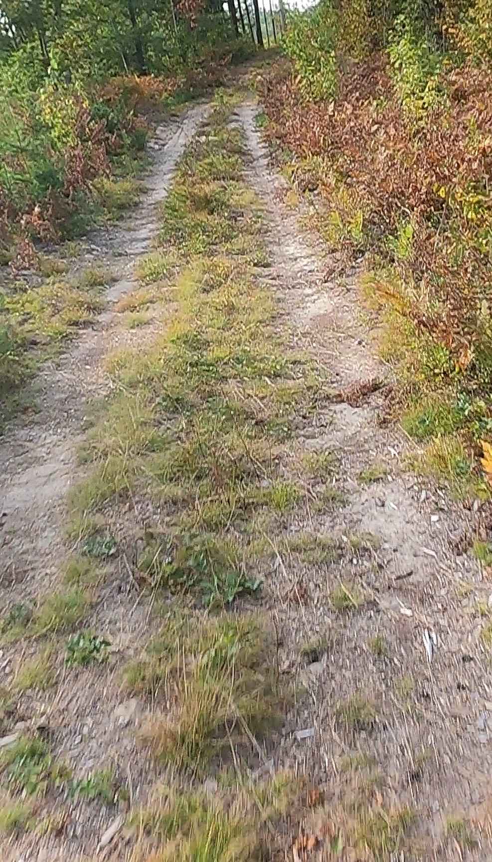
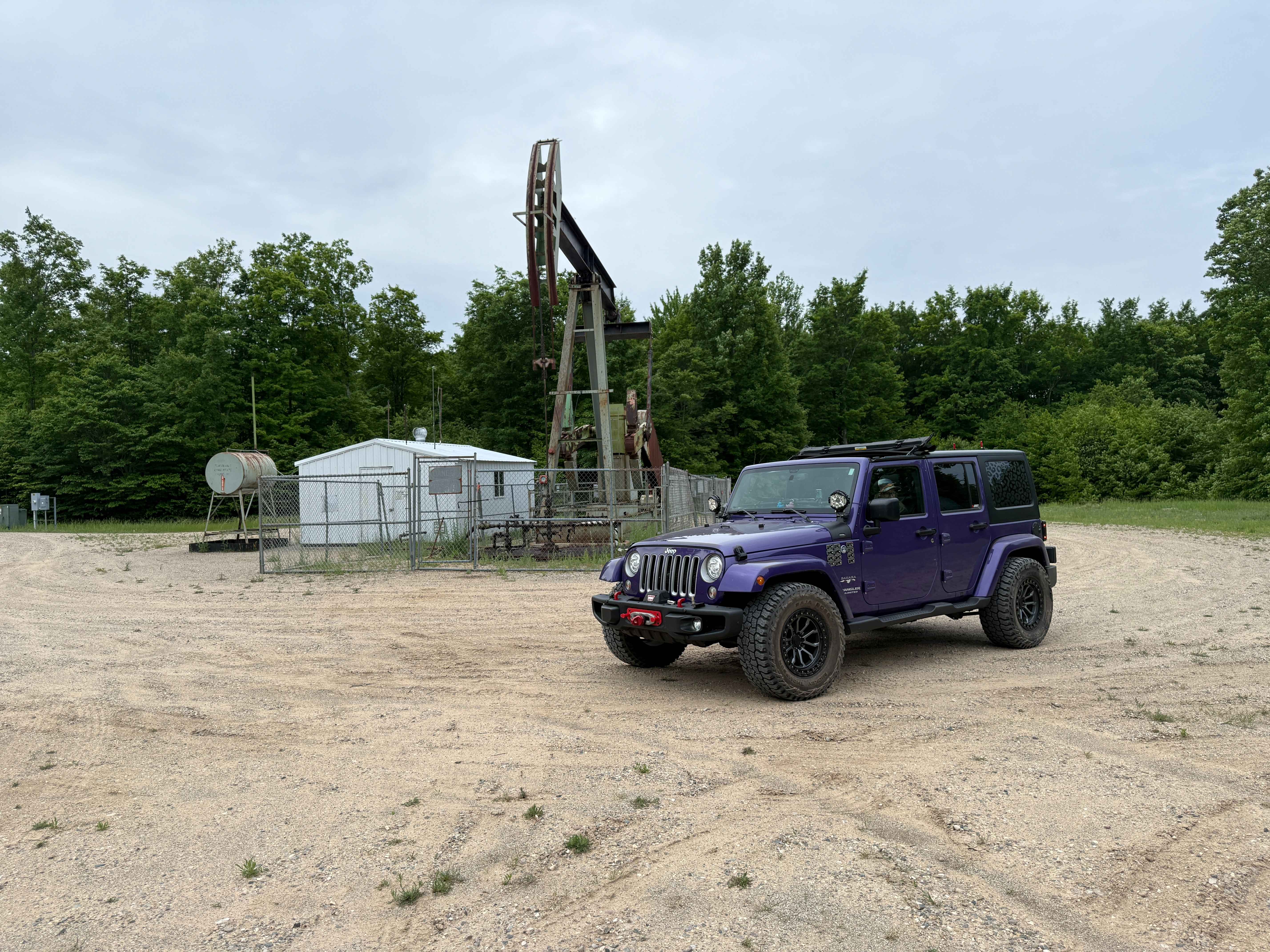
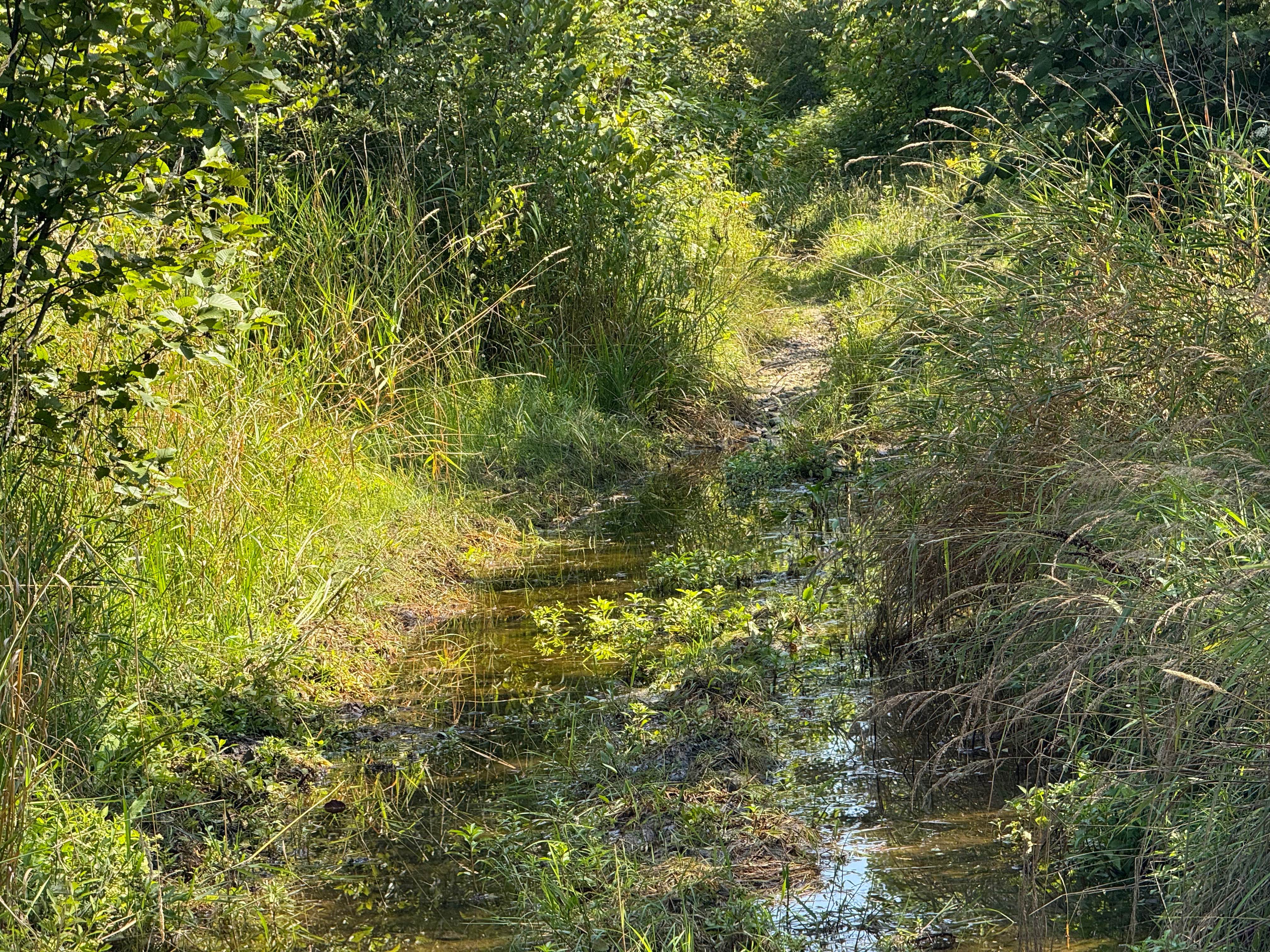
Trail Overview
Orchard Hill Road is a state-owned/ locally maintained, Level-2/ Level-3 Forest Service road with a surface composition of dirt, sand, gravel, and native material. This route is currently open and in fair condition; it is not a DNR route (ORV use is subject to local government regulations). It crosses over Hog Island Creek, through the Sucker Creek marshland, and connects Hog Island Road to Old Stage Truck Trail. Description created on September 17, 2025.
Photos of Orchard Hill Road
Difficulty
Gravel, dirt, sandy road, unmaintained after rain or snow that may give rise to shallow water crossings and obstacles under 12 inches on the trail, including small ledges. This road is typically one to two vehicles in width, with portions that narrow down to a "Two Track" road.
History
Orchard Hill Road near Naubinway, Michigan, features historic homesteading roots, with a farmhouse dating back to 1907 and a century-old barn. The area, located near state forests and within a half-mile of national park land, experienced erosion control efforts with pine plantings in the 1960s.
Status Reports
Orchard Hill Road can be accessed by the following ride types:
- High-Clearance 4x4
- SUV
- SxS (60")
- ATV (50")
- Dirt Bike
Orchard Hill Road Map
Popular Trails
Oil Pump Trail

Matchett Trail

Rimrock Camp Road
The onX Offroad Difference
onX Offroad combines trail photos, descriptions, difficulty ratings, width restrictions, seasonality, and more in a user-friendly interface. Available on all devices, with offline access and full compatibility with CarPlay and Android Auto. Discover what you’re missing today!