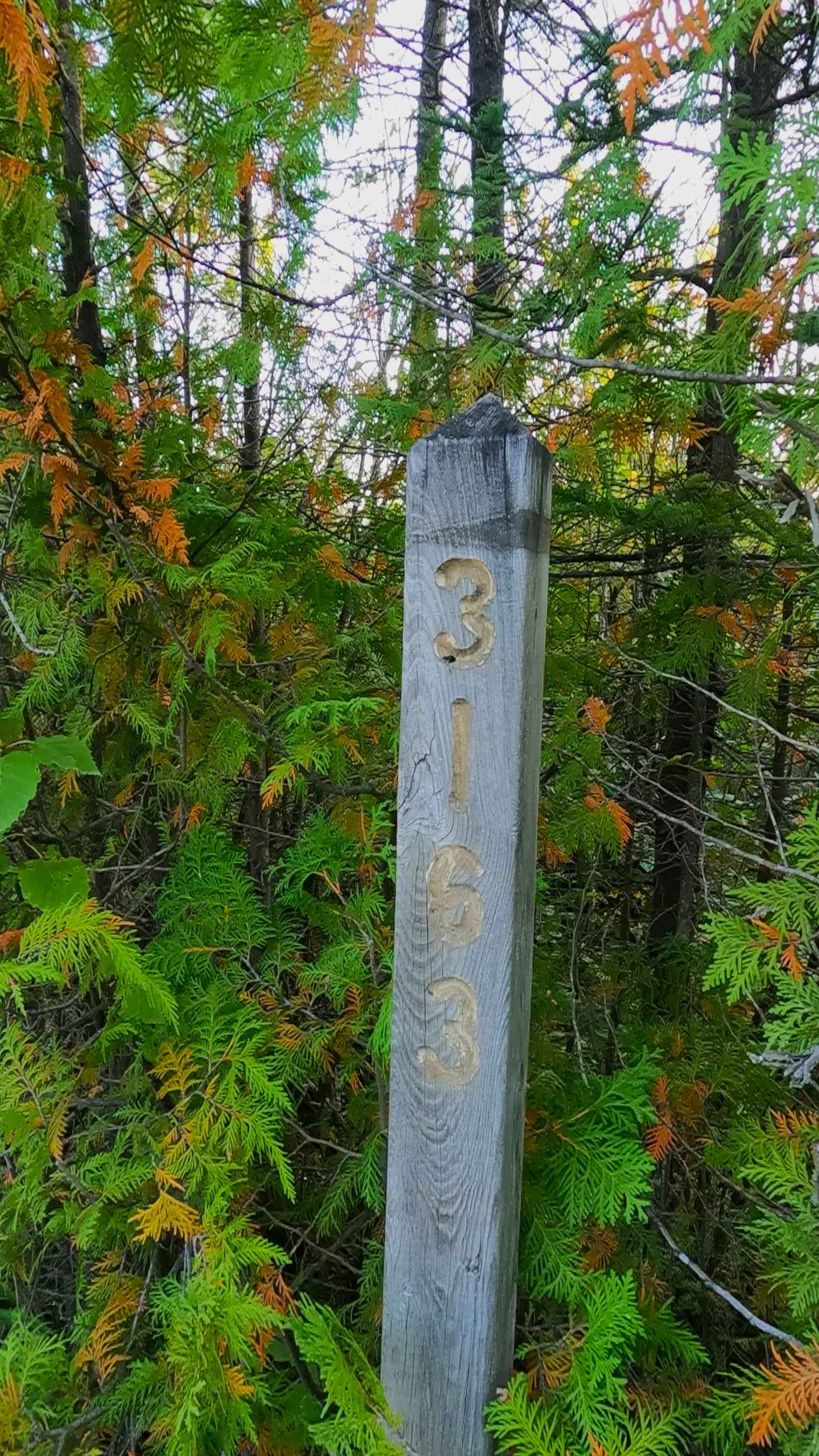
Old Castle Rock Trail - FS 3163
Total Miles
1.0
Technical Rating
Best Time
Spring, Summer, Fall
Trail Type
Full-Width Road
Accessible By
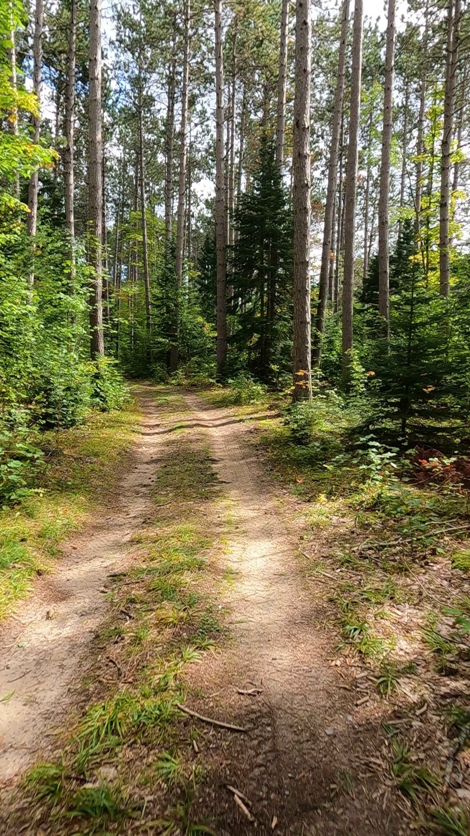
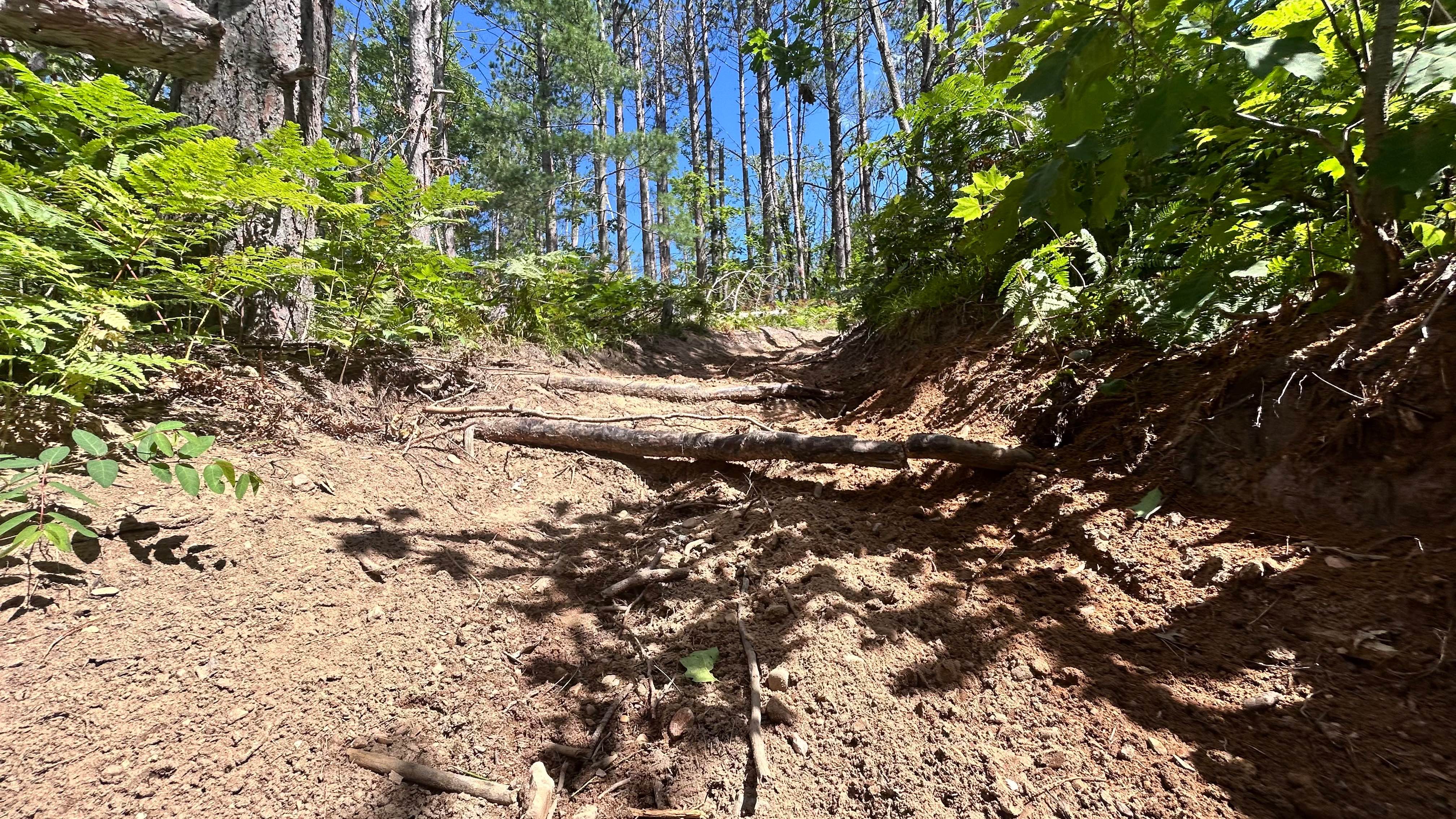
Trail Overview
Federal Forest Service Road (FS) 3163, also known as Old Castle Rock Trail, is a federally owned/ locally maintained, Level-2/ Level-3 forest road with a surface composition of dirt, sand, gravel, and native material. This route is currently open and in fair condition; it is not a DNR road (ORV use is subject to local government regulations). This route connects FS 3104 - Old Castle Rock Trail to FS 3163A Spur (there-and-back) and FS 3413- Hay Lake Road. Description created on September 17, 2025.
Photos of Old Castle Rock Trail - FS 3163
Difficulty
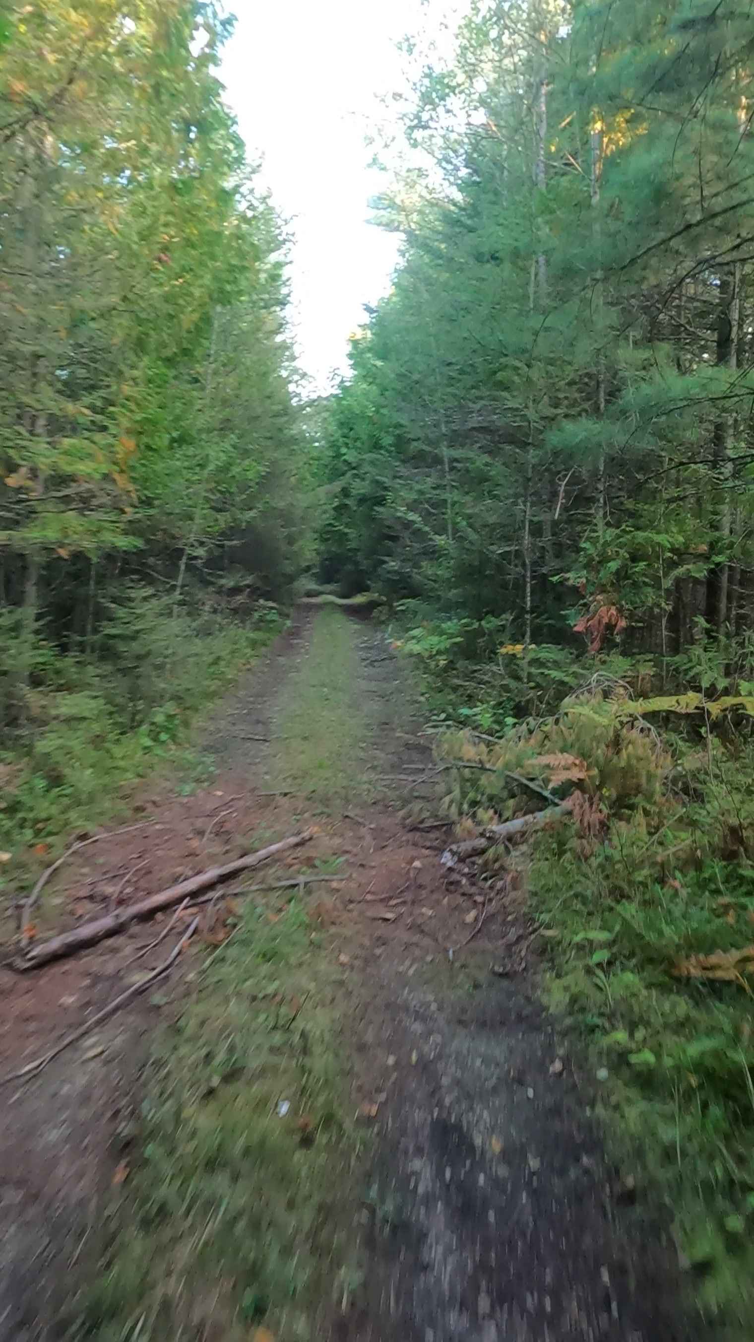
Grass, dirt, gravel, sand, and a rooted path, typically unmaintained after rain or snow, that may give rise to shallow water crossings and obstacles under 12 inches on the trail, including small logs. This route is a narrow "Two-Track" that is one vehicle in width.
History
Castle Rock is a 195-foot limestone stack and an ancient Ojibwa lookout known as "Pontiac's Lookout". Opened to tourists in 1929 by Clarence Eby, it has been a family-owned attraction for over 90 years. The site offers panoramic views of Lake Huron, Mackinac Island, and the Mackinac Bridge.
Status Reports
Old Castle Rock Trail - FS 3163 can be accessed by the following ride types:
- High-Clearance 4x4
- SUV
- SxS (60")
- ATV (50")
- Dirt Bike
Old Castle Rock Trail - FS 3163 Map
Popular Trails
Wilson Truck Trail
Soo - FS 3560
Big Bear Connector
The onX Offroad Difference
onX Offroad combines trail photos, descriptions, difficulty ratings, width restrictions, seasonality, and more in a user-friendly interface. Available on all devices, with offline access and full compatibility with CarPlay and Android Auto. Discover what you’re missing today!