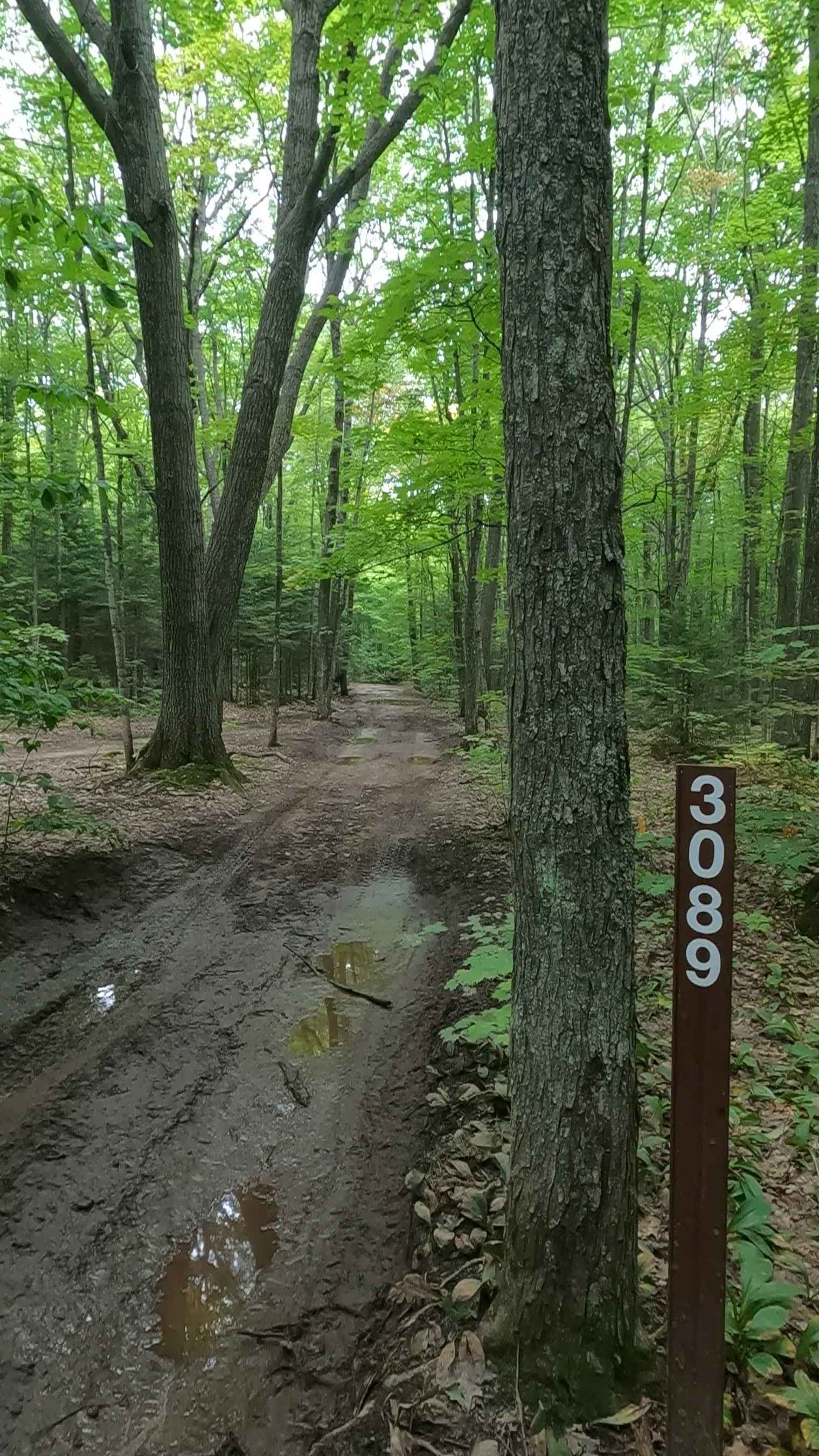
Oak Ridge - FS 3089
Total Miles
1.9
Technical Rating
Best Time
Spring, Summer, Fall
Trail Type
Full-Width Road
Accessible By
Trail Overview
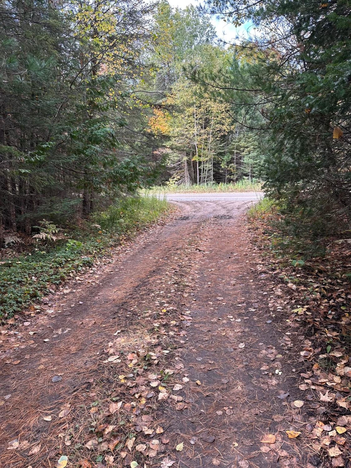
Federal Forest Service Road 3089, also known as Oak Ridge, is a federally owned/ locally maintained, Level-2/ Level-3 forest road with a surface composition of dirt, sand, gravel, and native material. This route is currently a "There-and-back" route that is open and in fair condition; it is not a DNR road (ORV use is subject to local government regulations) that connects with West Tower Road, FS 3152, and FS 3685. Description created on September 11, 2025.
Photos of Oak Ridge - FS 3089
Difficulty
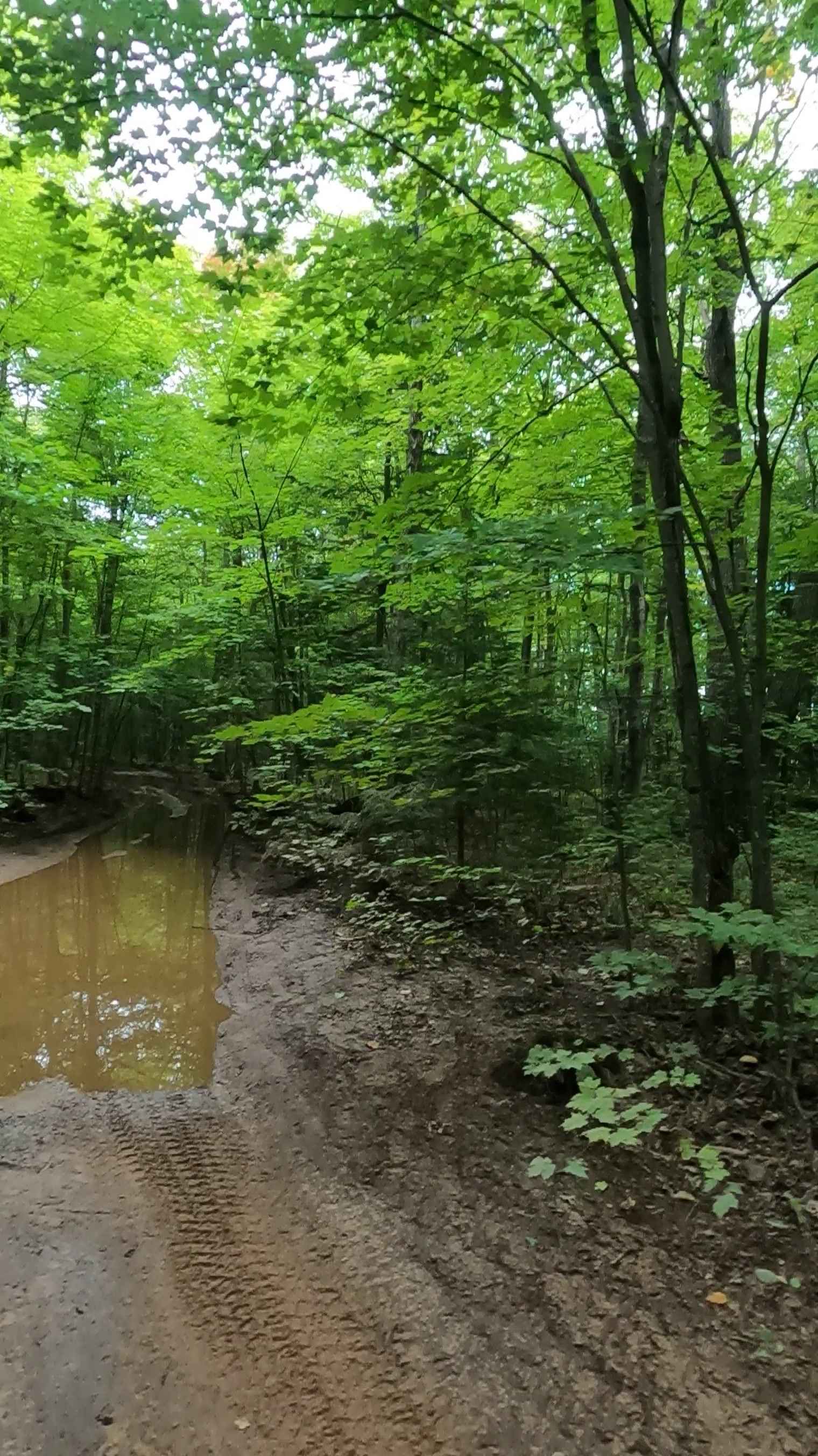
Dirt, gravel, sand, grass, and a rooted path, typically unmaintained after rain or snow, may give rise to shallow water crossings and obstacles under 12 inches on the trail, including small ledges. This route is a narrow "Two-Track" that is one vehicle in width.
History
Bay Mills has been a significant site for the Ojibwe (Chippewa) people for centuries, with a rich history centered on Whitefish Bay and Lake Superior fishing. Officially established in 1860, the community became a federally recognized tribe in 1936, later launching Bay Mills Community College (1981) and major economic developments like casinos.
Status Reports
Oak Ridge - FS 3089 can be accessed by the following ride types:
- High-Clearance 4x4
- SUV
- SxS (60")
- ATV (50")
- Dirt Bike
Oak Ridge - FS 3089 Map
Popular Trails

Forest Route 9195

Tower Trail

Avery Lake Sidetrack
South Mott - FS 2793
The onX Offroad Difference
onX Offroad combines trail photos, descriptions, difficulty ratings, width restrictions, seasonality, and more in a user-friendly interface. Available on all devices, with offline access and full compatibility with CarPlay and Android Auto. Discover what you’re missing today!