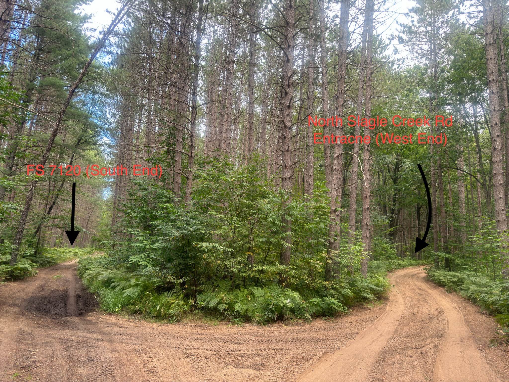
North Slagle Creek Road
Total Miles
1.1
Technical Rating
Best Time
Spring, Summer, Fall, Winter
Trail Type
Full-Width Road
Accessible By
Trail Overview
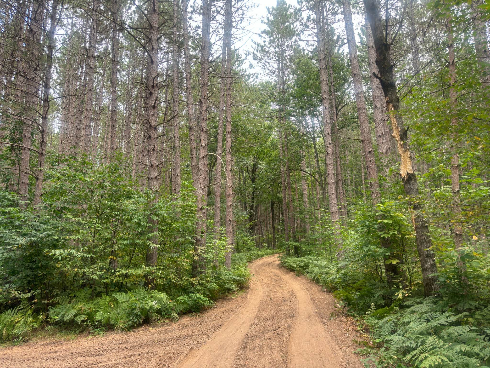
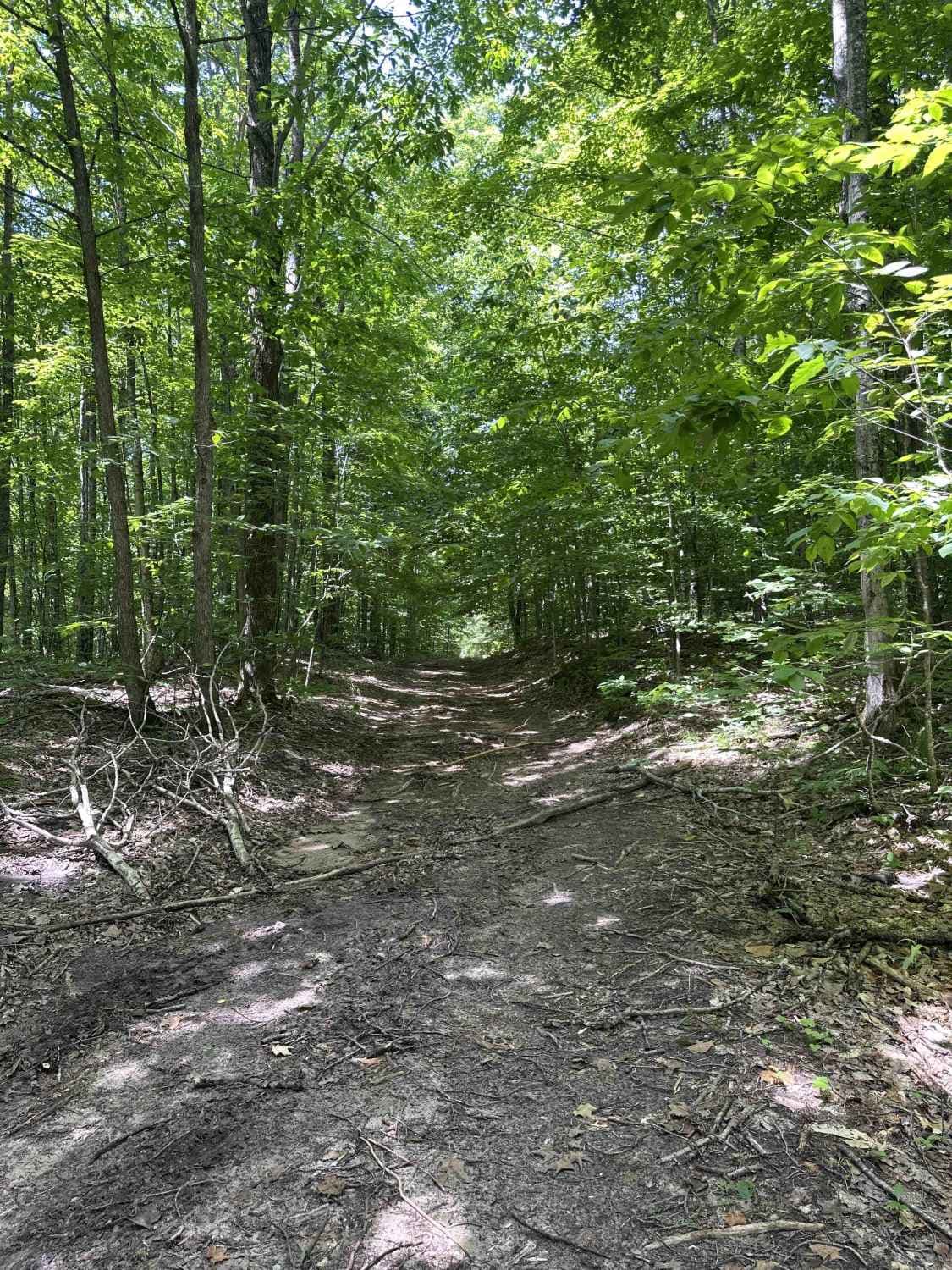
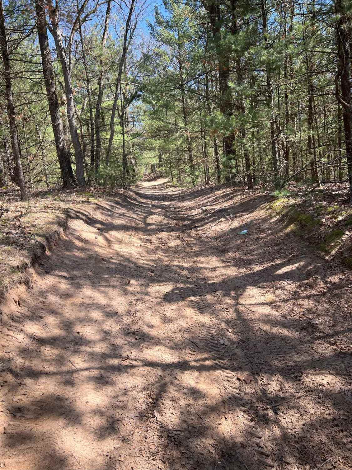
North Slagle Creek Road is a scenic backcountry route that runs east to west, connecting Forest Service Road 7120 and Number 1 Road. This stretch of trail offers a scenic drive through a beautiful landscape. If you're heading west, the road gradually opens up to reveal breathtaking views of Slagle Creek below on your left. The creek winds through the valley, offering glimpses of crystal-clear water below the road. As you continue along, the terrain shifts slightly until you reach a short, sandy downhill section that leads you down to FS 7120. North Slagle Creek Road is a must-hit trail if you're exploring this area. It's a great route to kick off FS 7120. Cell service is spotty, so downloading offline maps for this entire region is recommended.
Photos of North Slagle Creek Road
Difficulty
No notable obstacles are present on this route, but the hill down to Forest Service Road 7120 is long and steep enough that caution should still be taken, especially when wet or snowy.
Status Reports
North Slagle Creek Road can be accessed by the following ride types:
- High-Clearance 4x4
- SUV
- SxS (60")
- ATV (50")
- Dirt Bike
North Slagle Creek Road Map
Popular Trails
Entrance / Exit Trail
Shrek's Swamp

Holly Glen Short Track
The onX Offroad Difference
onX Offroad combines trail photos, descriptions, difficulty ratings, width restrictions, seasonality, and more in a user-friendly interface. Available on all devices, with offline access and full compatibility with CarPlay and Android Auto. Discover what you’re missing today!