Muskrat Rd SE
Total Miles
2.0
Technical Rating
Best Time
Spring, Summer, Fall, Winter
Trail Type
Full-Width Road
Accessible By
Trail Overview
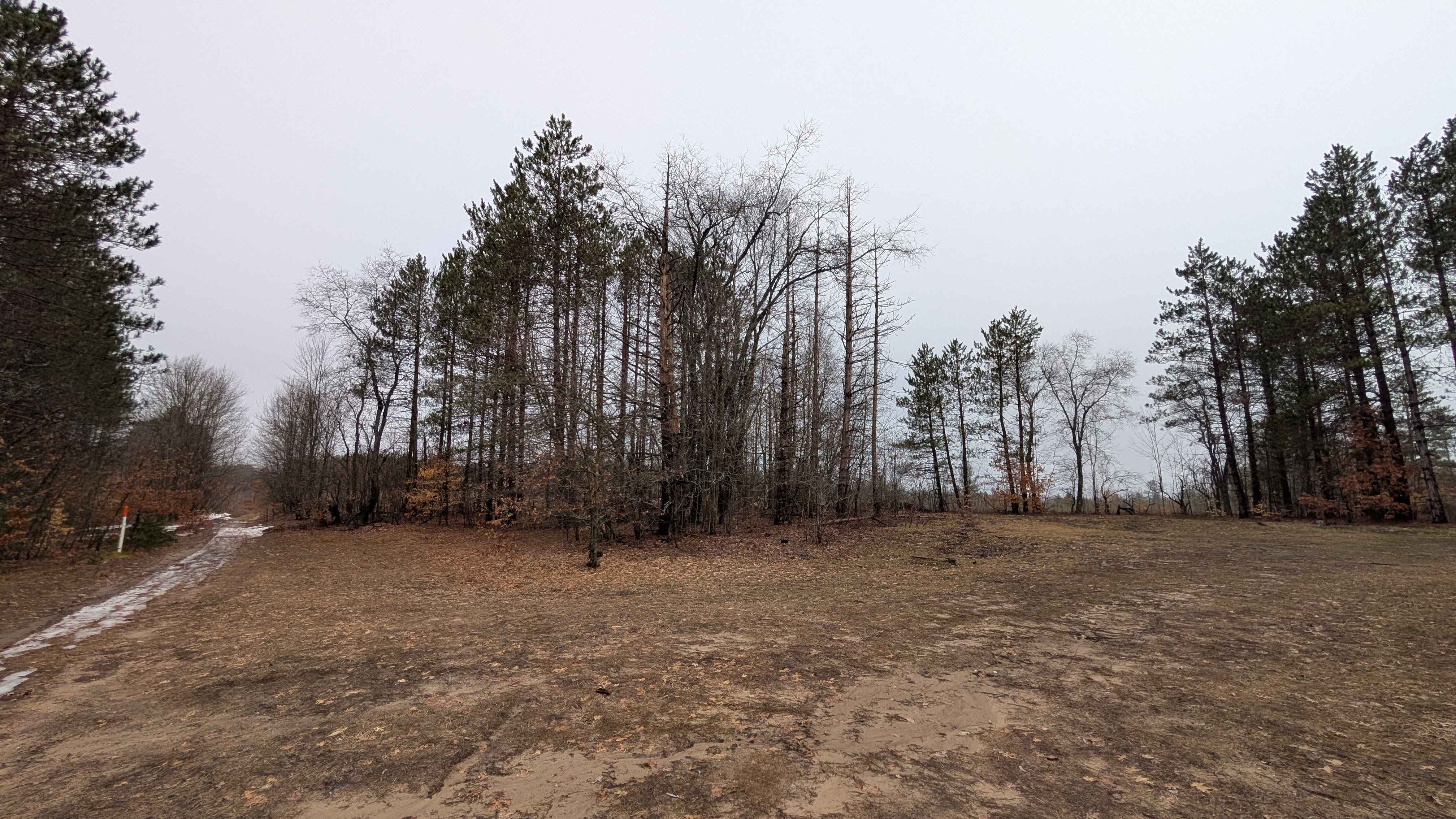
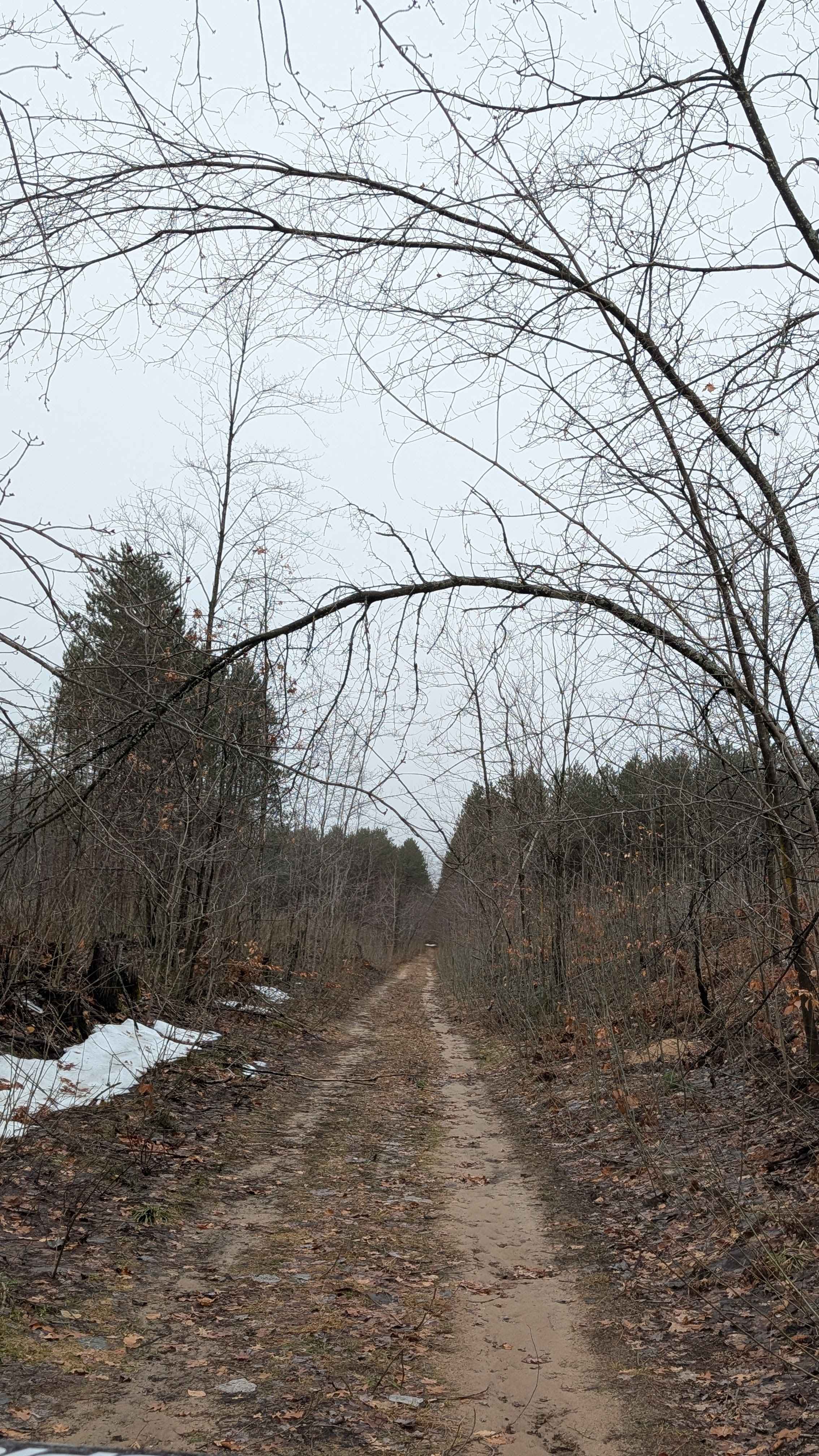
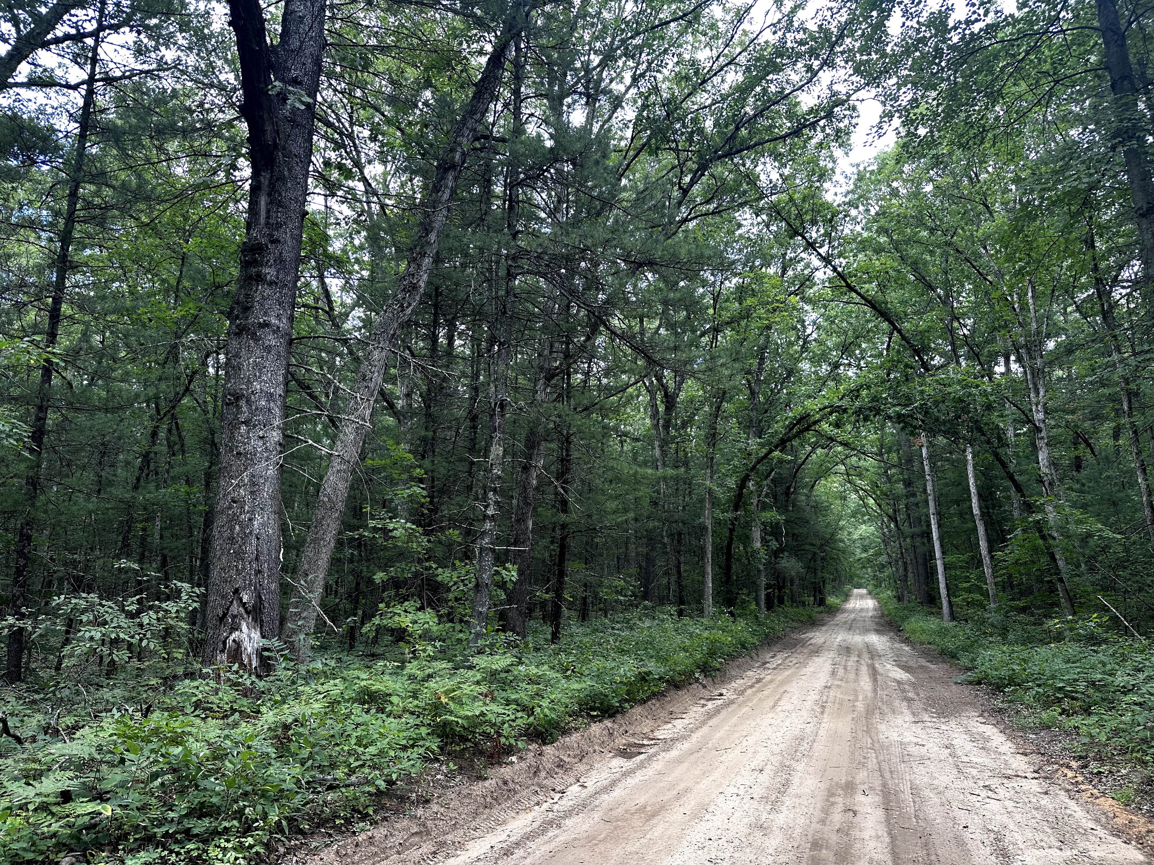
Muskrat Road Southeast is a 2-mile trail that runs between Sunset Trail and LP 76. It has a nice dispersed camping area, big enough for five or six vehicles. Some parts of the trail were narrow, and there were a couple of large puddles. But other than that, it is a traditional Michigan windy, sandy seasonal road. Please remember to practice the Tread Lightly! Principles and pack out what you pack in.
Photos of Muskrat Rd SE
Difficulty
Typical sandy Michigan seasonal road.
Status Reports
Muskrat Rd SE can be accessed by the following ride types:
- High-Clearance 4x4
- SUV
- SxS (60")
- ATV (50")
- Dirt Bike
Muskrat Rd SE Map
Popular Trails
Scenic Hopkins Gravel
Trail 7 to Buckhorn Resort - Part 11
46th Street
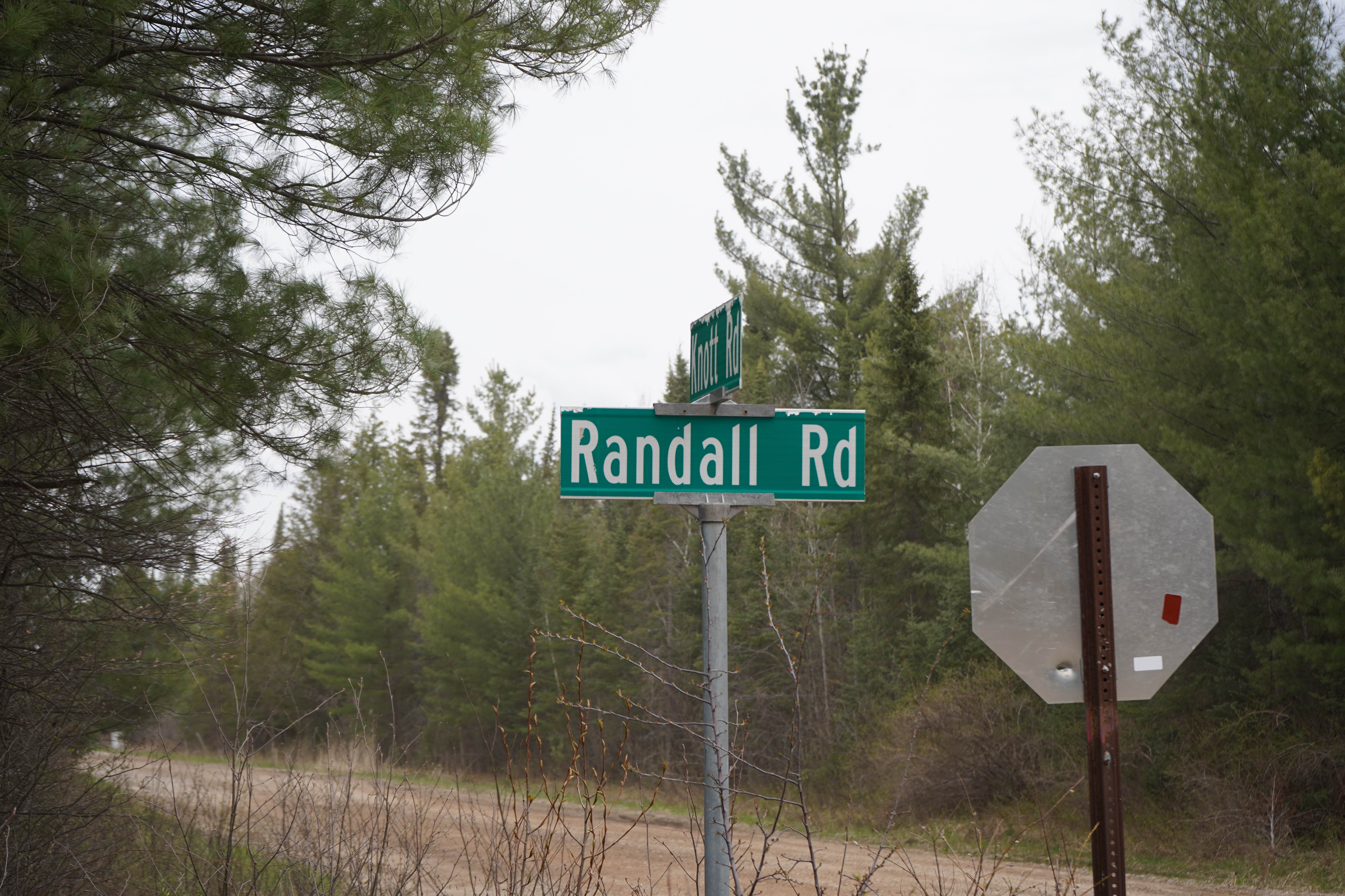
Randall Road
The onX Offroad Difference
onX Offroad combines trail photos, descriptions, difficulty ratings, width restrictions, seasonality, and more in a user-friendly interface. Available on all devices, with offline access and full compatibility with CarPlay and Android Auto. Discover what you’re missing today!