Murry Road
Total Miles
3.3
Technical Rating
Best Time
Spring, Summer, Fall
Trail Type
Full-Width Road
Accessible By
Trail Overview
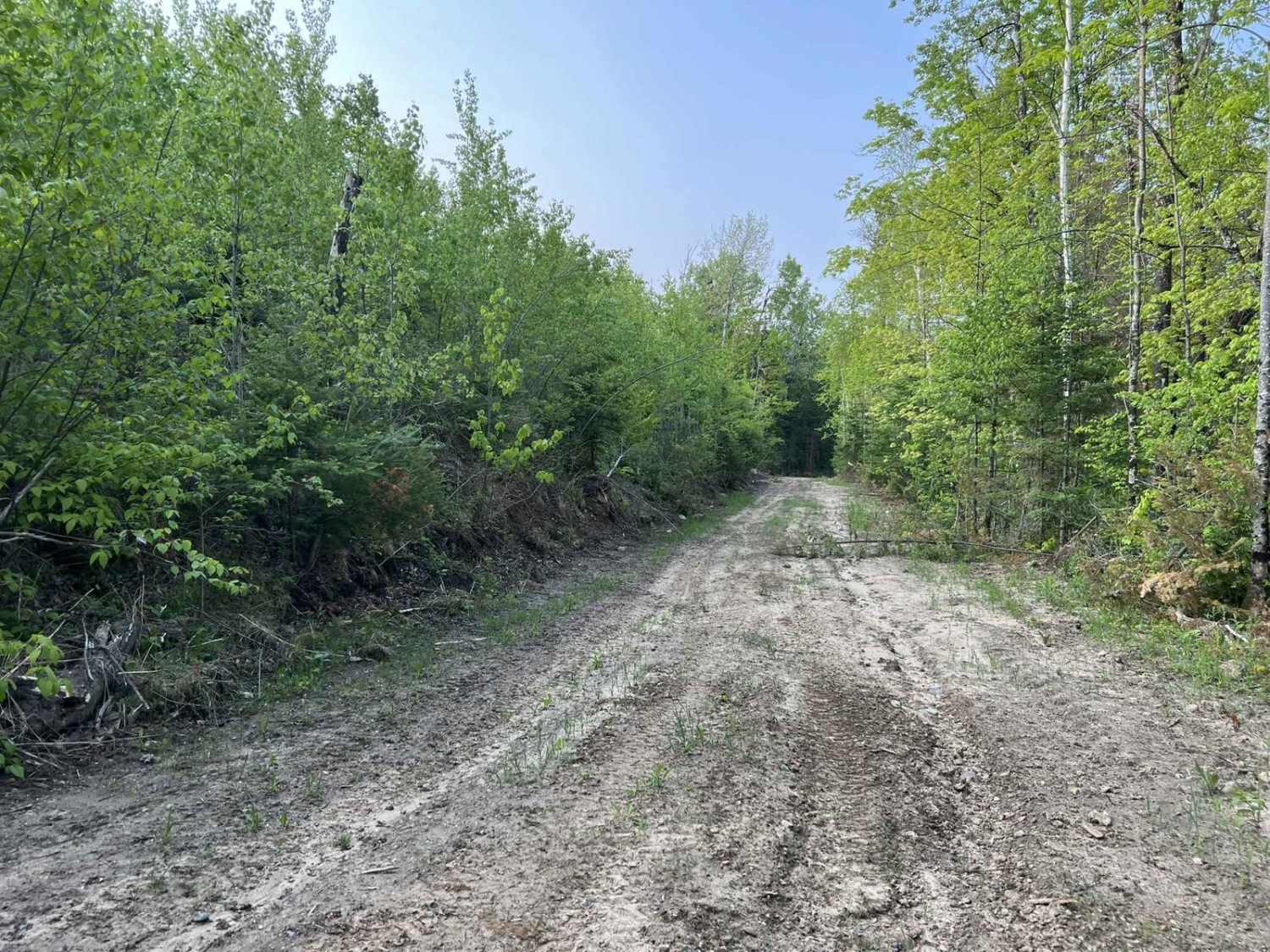
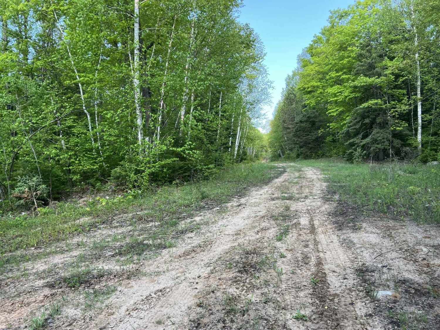
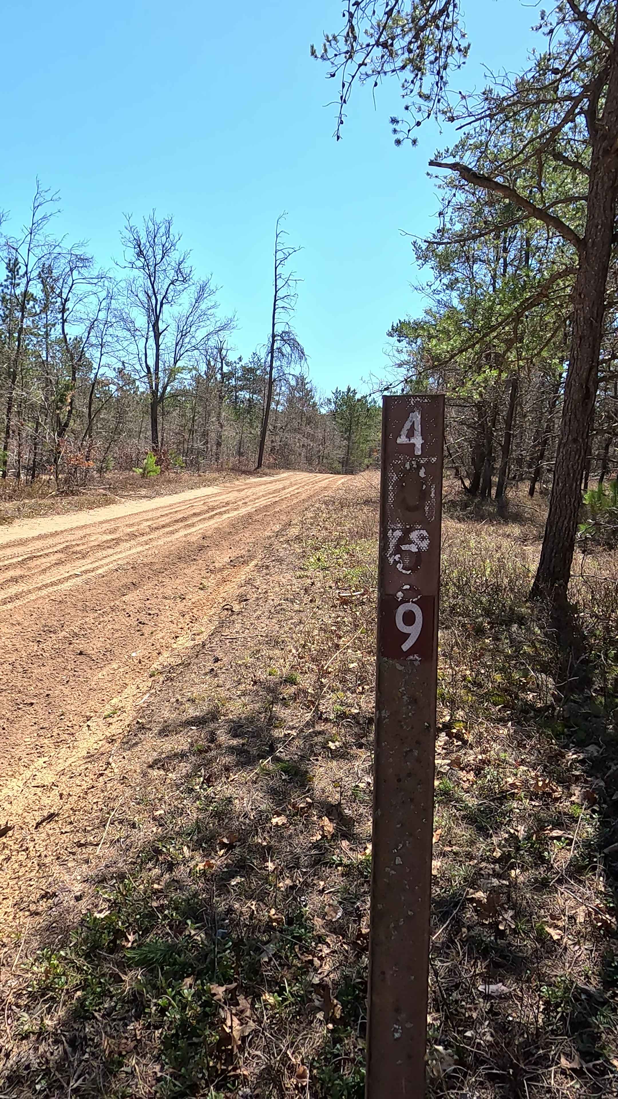
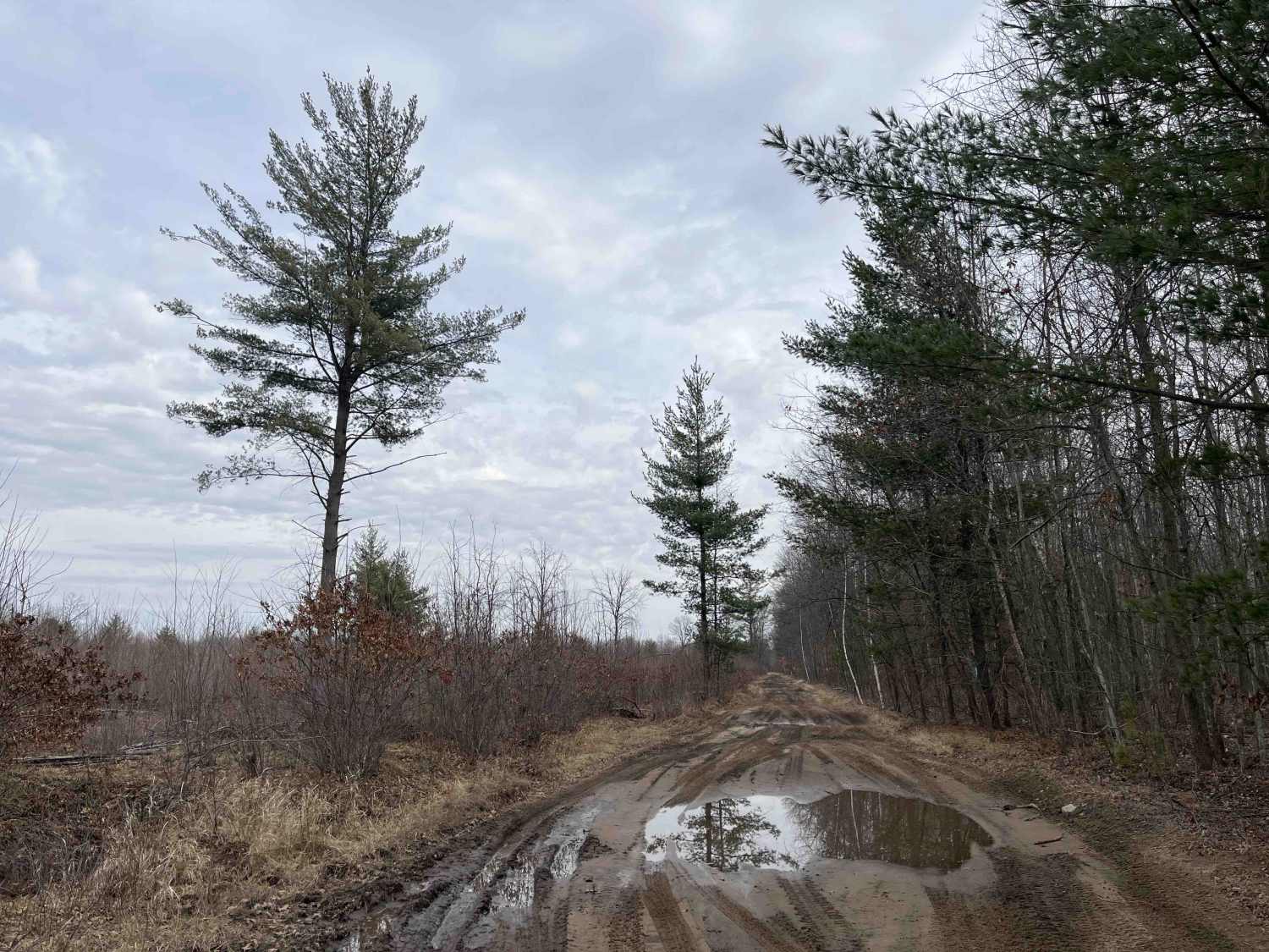
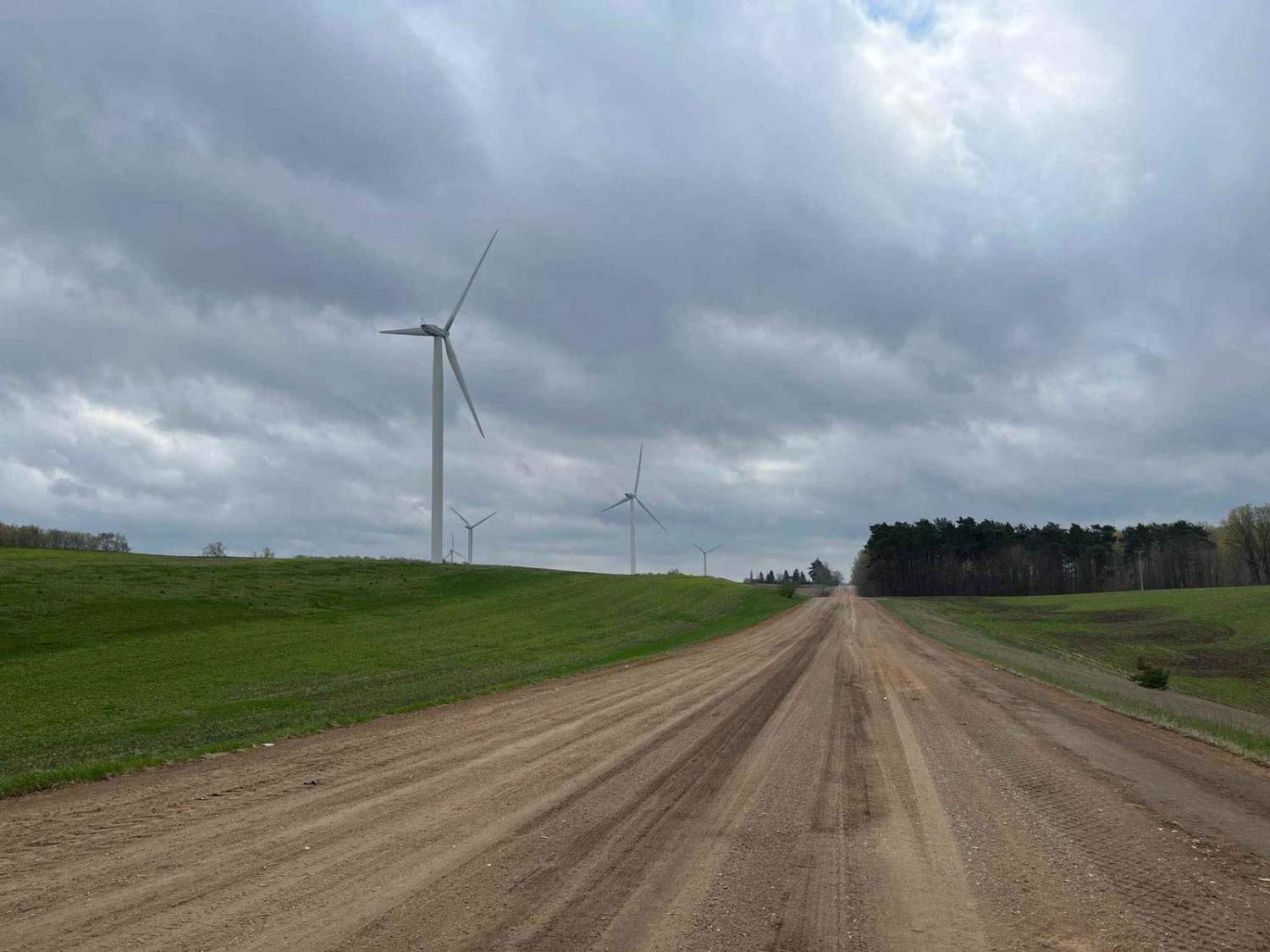
Murry Road is classified as a DNR/ Military Rd that is open for ORV use. This trail begins as a wide two-track winding through mature forests. It then transitions into a tighter two-track navigating through the same mature forests. Eventually, this trail will open up again into a wider trail as it enters sections of the Crystal Falls Forest that have been recently logged. These areas are full of young trees or have been clear-cut. This trail features a plentiful amount of off-camber and blind corners. Additionally, as the trail reaches its end, it also travels across a large section of rolling hills. After times of rain, there can be a large amount of slick mud on this trail due to the dirt surface. The level of mud will increase as the trail nears its endpoint.
Photos of Murry Road
Difficulty
The beginning of this trail will start out relatively wide, but it quickly narrows into a tight two-track with areas where oncoming vehicles can pass. Sight lines throughout this trail can be challenging as the forests block the view of the oncoming trail. While this trail is smooth and flat for the most part, the dirt surface of the trail can quickly lead to a slick/ muddy trail after recent rainfall. As the trail reaches its endpoint, there is one large section that can become very muddy even in dry conditions.
Status Reports
Murry Road can be accessed by the following ride types:
- High-Clearance 4x4
- SUV
- SxS (60")
- ATV (50")
Murry Road Map
Popular Trails
West Olson Trail

Filer Creek Trail
County Line Road
The onX Offroad Difference
onX Offroad combines trail photos, descriptions, difficulty ratings, width restrictions, seasonality, and more in a user-friendly interface. Available on all devices, with offline access and full compatibility with CarPlay and Android Auto. Discover what you’re missing today!