Manistee River Road Southeast
Total Miles
4.7
Technical Rating
Best Time
Spring, Summer, Fall, Winter
Trail Type
Full-Width Road
Accessible By
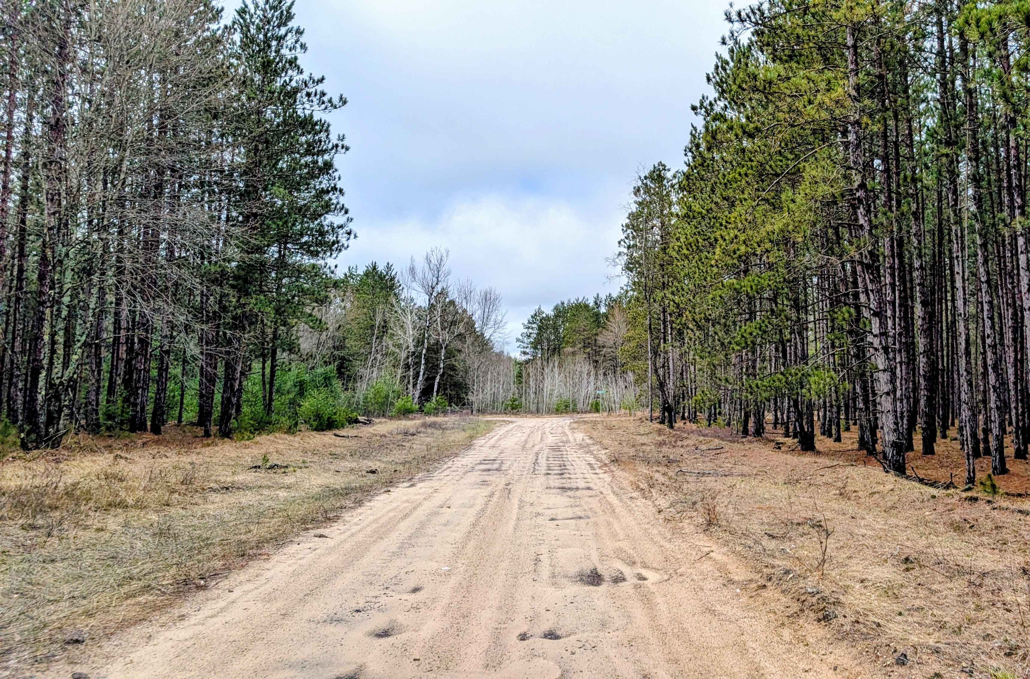
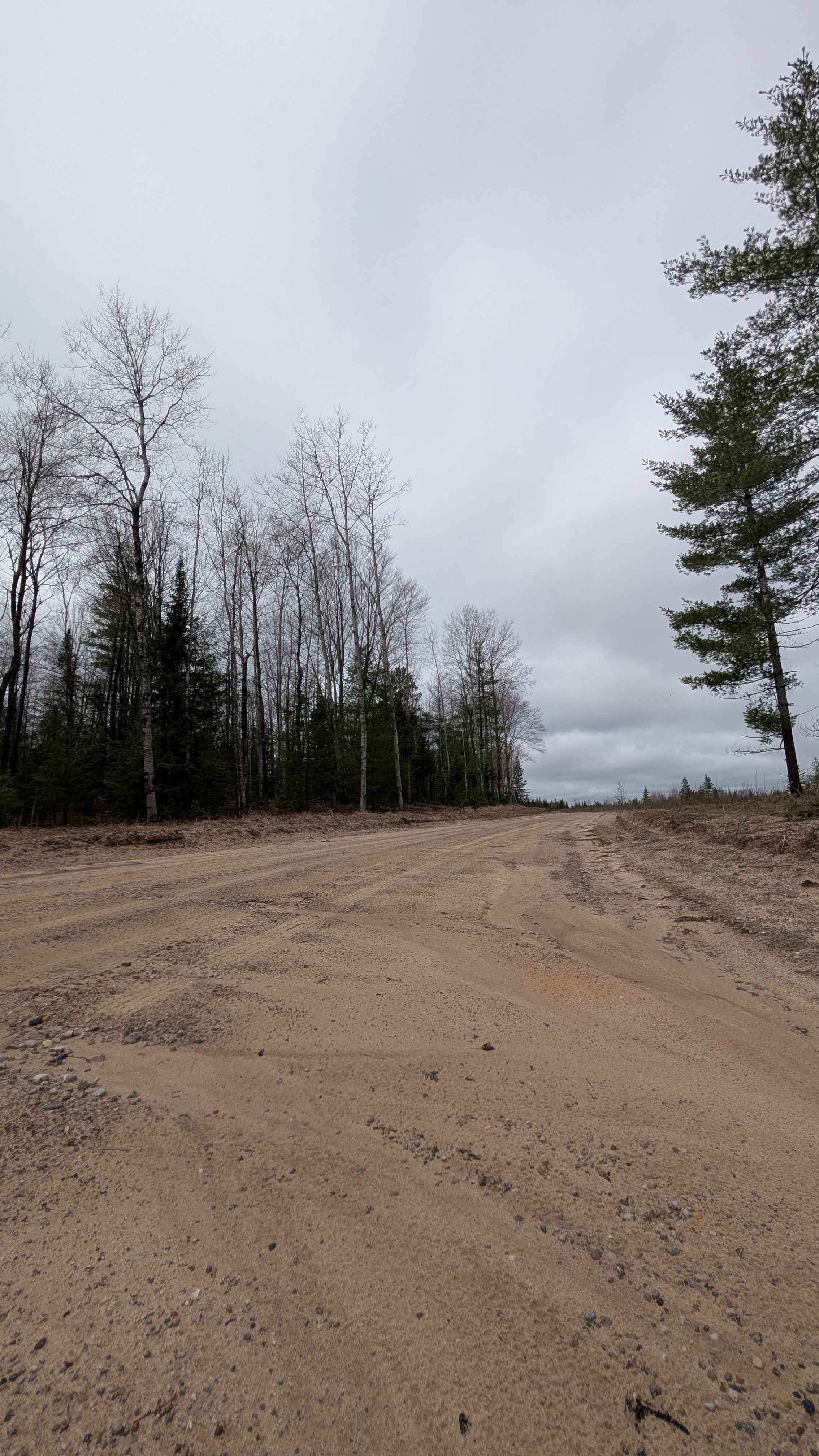
Trail Overview
This seasonal road runs between Jack's Landing, just west of M66, and Coster Road Southeast. It follows along the Manistee River. 95% of the time, it has standing water puddles along the route, but rarely are they deep. There are half a dozen trails that branch off to the north, and they lead to dispersed campsites along the high bank of the Manistee River. This trail is sandy and windy and enjoyable to drive.
Photos of Manistee River Road Southeast
Difficulty
Sandy with very little elevation change. There are spots that tend to have water puddles, but nothing too deep.
Status Reports
Manistee River Road Southeast can be accessed by the following ride types:
- High-Clearance 4x4
- SUV
- SxS (60")
- ATV (50")
- Dirt Bike
Manistee River Road Southeast Map
Popular Trails


Riverbend Lookout Trail

Podunk River Access

The onX Offroad Difference
onX Offroad combines trail photos, descriptions, difficulty ratings, width restrictions, seasonality, and more in a user-friendly interface. Available on all devices, with offline access and full compatibility with CarPlay and Android Auto. Discover what you’re missing today!