M-28 to Stongs
Total Miles
16.2
Technical Rating
Best Time
Spring, Summer, Fall
Trail Type
Full-Width Road
Accessible By
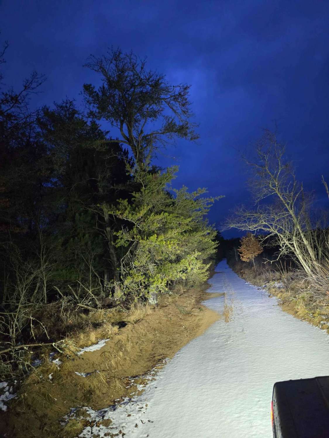
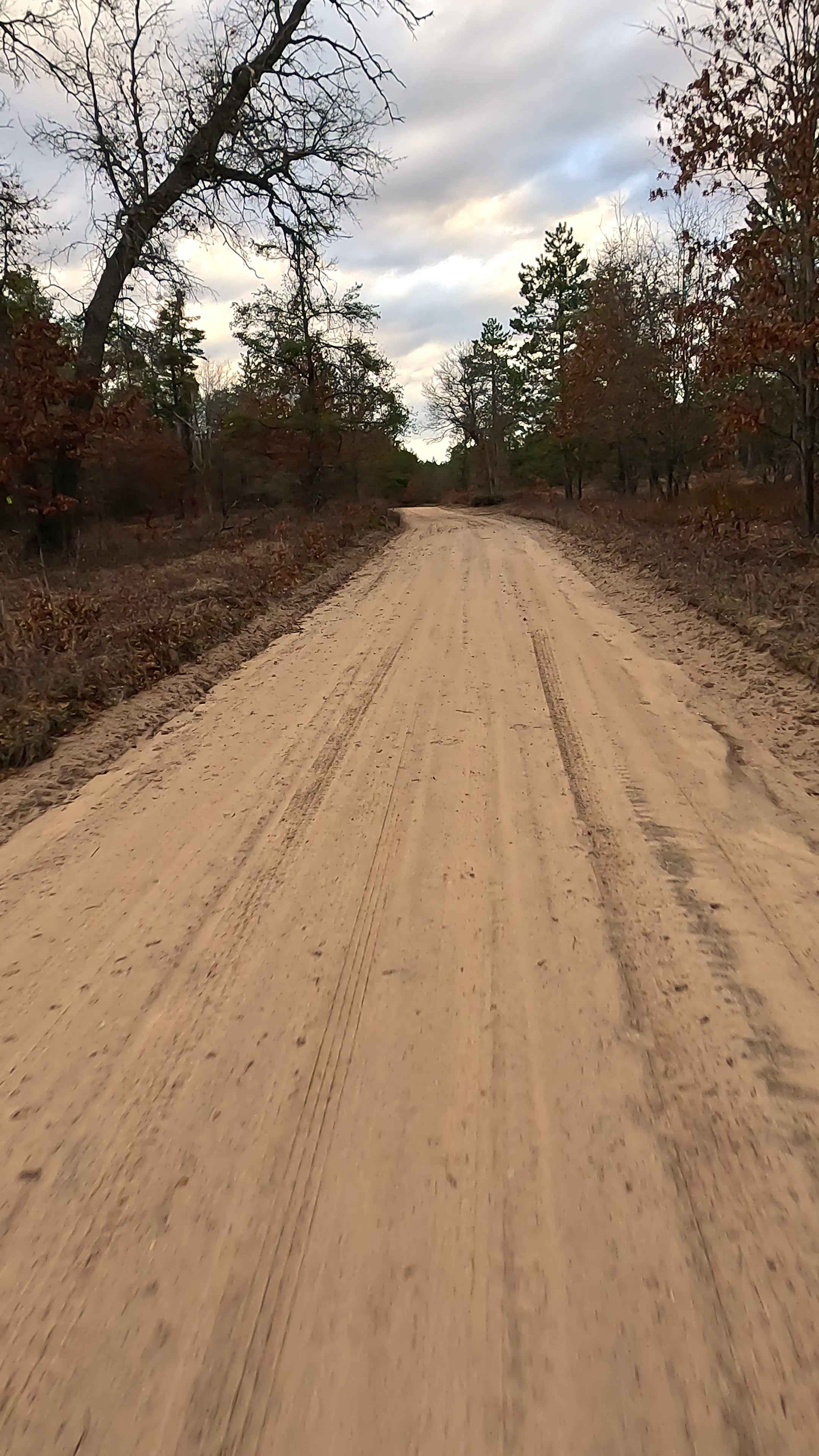
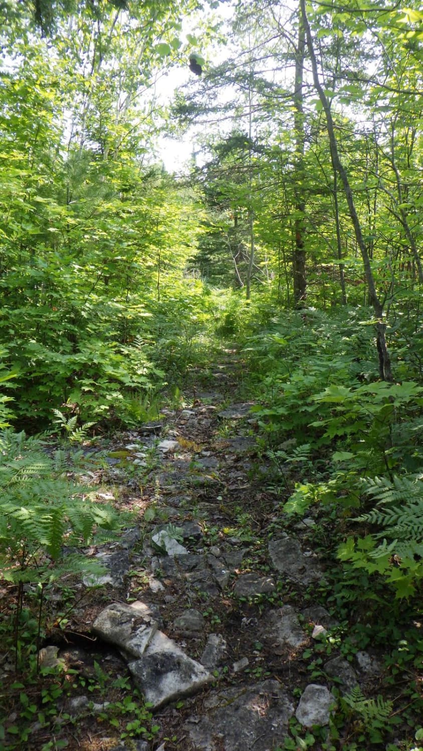
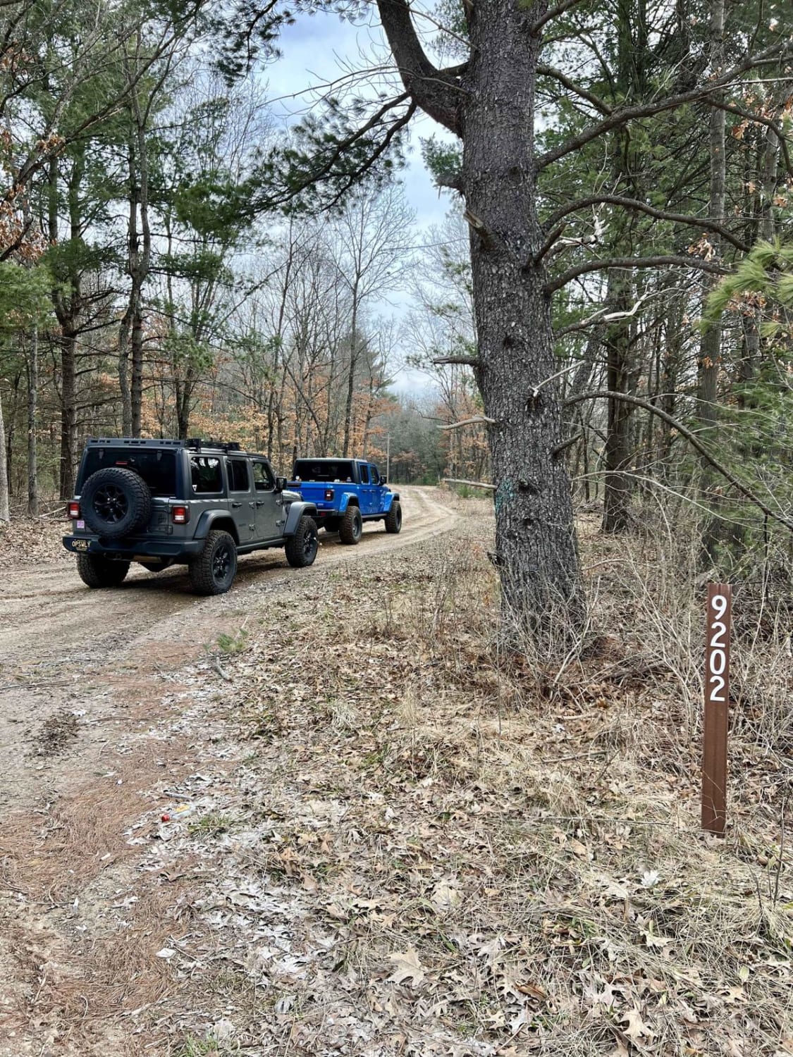
Trail Overview
M-28 to Strongs is a designated off-road vehicle (ORV) route that's legal for all types of vehicles, including large 4x4s and dirt bikes. The trail boasts diverse terrain, from sandy areas to gravelly sections and hard-packed dirt. Surrounded by dense forests, there are some logging-induced clearings. There's a fuel stop at Strong's Corner.
Photos of M-28 to Stongs


Difficulty
The trail is composed solely of dirt, devoid of any obstacles.
Status Reports
M-28 to Stongs can be accessed by the following ride types:
- High-Clearance 4x4
- SUV
- SxS (60")
- ATV (50")
- Dirt Bike
M-28 to Stongs Map
Popular Trails
Barakel Trail - FS 4881
Foreman Lake Motorcycle Trail
The onX Offroad Difference
onX Offroad combines trail photos, descriptions, difficulty ratings, width restrictions, seasonality, and more in a user-friendly interface. Available on all devices, with offline access and full compatibility with CarPlay and Android Auto. Discover what you’re missing today!