Little Black River Spur C (FSR 2233C)
Total Miles
1.8
Technical Rating
Best Time
Spring, Summer, Fall
Trail Type
Full-Width Road
Accessible By
Trail Overview
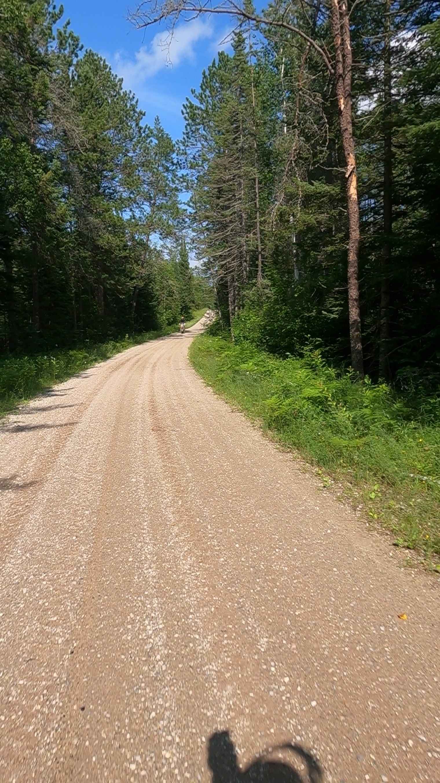
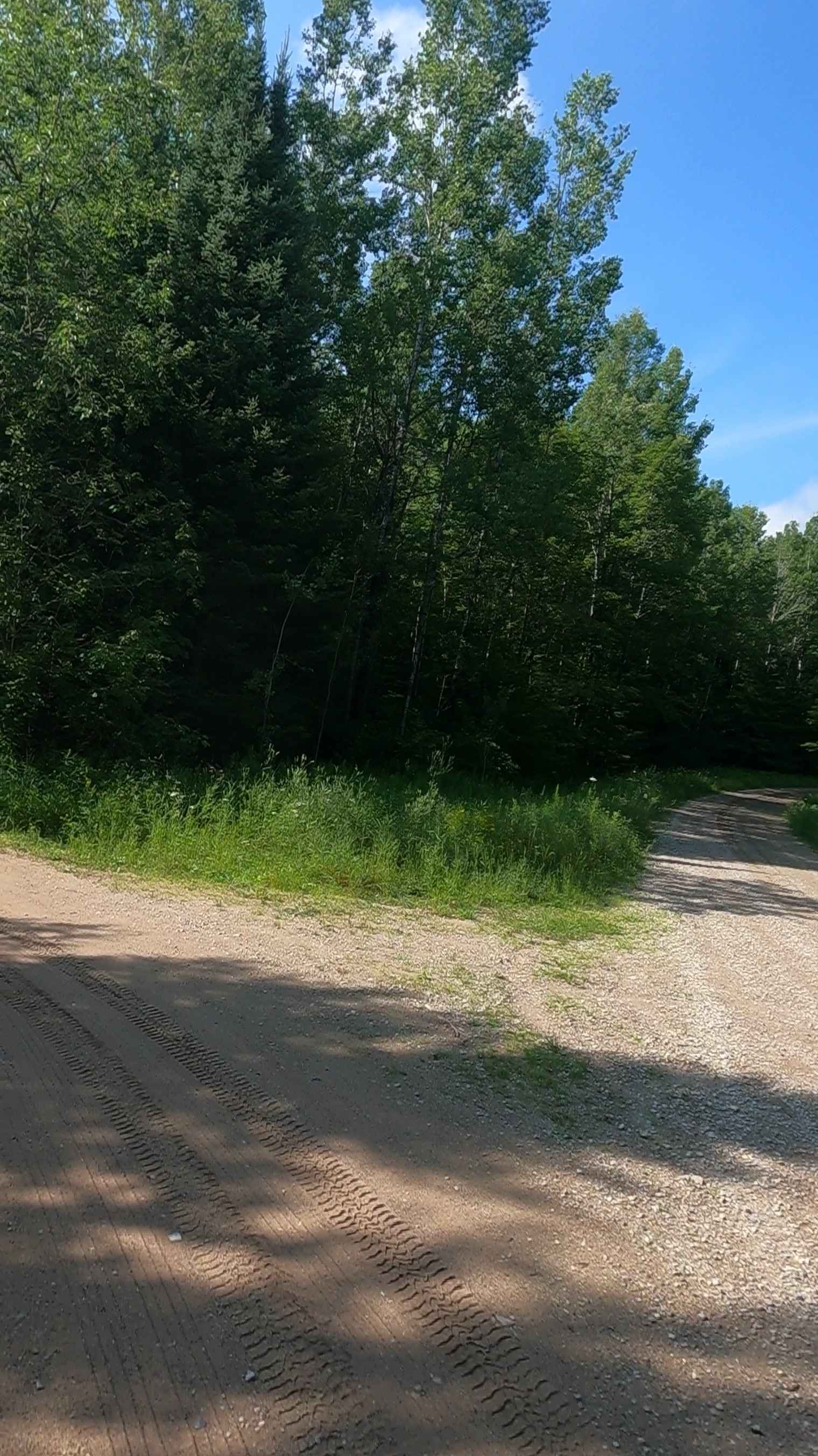
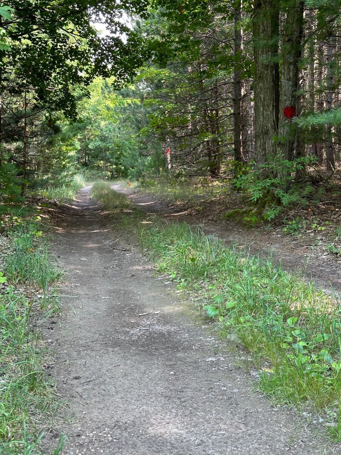
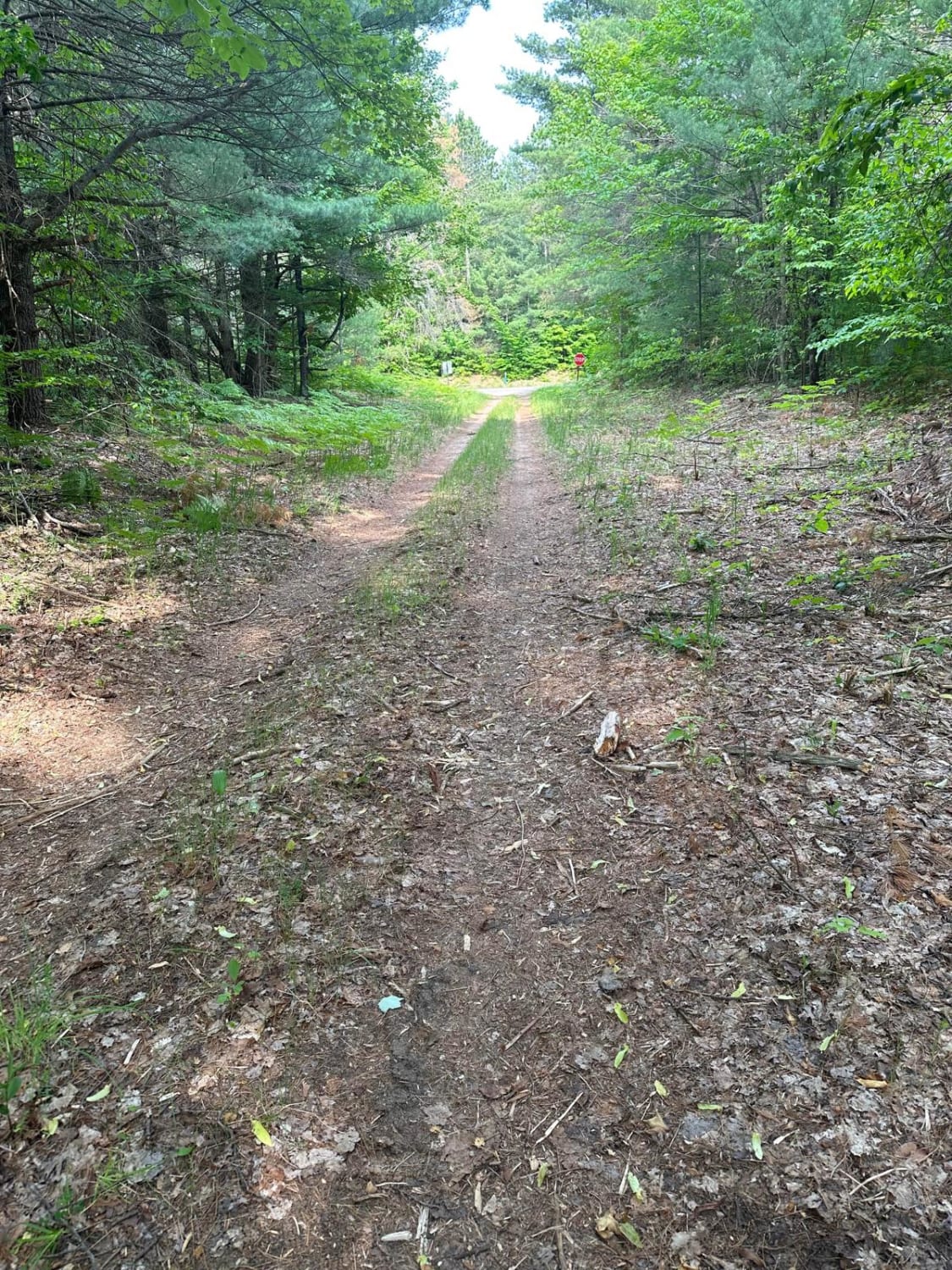
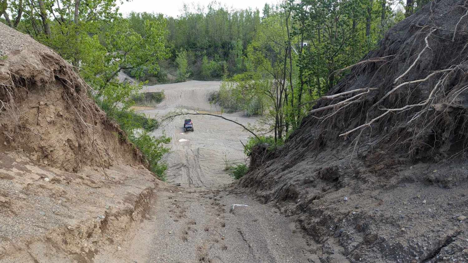
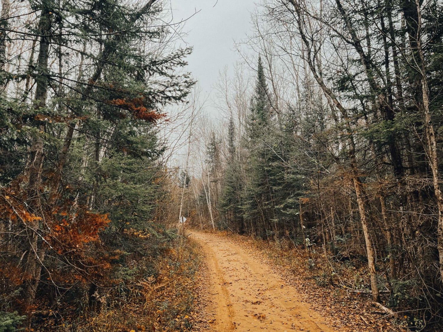
Little Black River Spur C is classified as a Primary Forest Road. The road is open to off-road vehicles and has a surface of dirt and native material. Its overall condition is rated as fair. Ownership is listed as the state, and the road is currently open. This seasonally maintained county road includes stretches of dirt, sand, mud, rock, and native material. It also features water crossings at creek run-off, maintained culverts, and beaver dam backups. The route provides access to the Ensign watershed. This description was created on July 24, 2025.
Photos of Little Black River Spur C (FSR 2233C)
Difficulty
Dirt, sand, and native material, typically unmaintained after rain or snow. You may encounter shallow water crossings and obstacles under 12 inches on the trail, including small ledges. Road is one to two vehicles wide.
History
Little Black River Road in Rapid River, Michigan has a rich history intertwined with logging, Indigenous populations, and settlement. Here's what the available information suggests: Native American Significance: The area encompassing the Little Black River and Rapid River held importance for Indigenous people for thousands of years, particularly the Ojibwe/Chippewa, Ottawa, and Potawatomi, who are known as the Anishinaabe or the "People of the Three Fires." The Maywood History Trail in Rapid River, located near the Little Black River Road area, highlights Native American sites and the history of human activity in the region. Logging Era: Like much of Michigan, the area around Rapid River experienced a significant logging boom, particularly in the late 19th and early 20th centuries. Rivers, including the Rapid River, were crucial for transporting logs to sawmills. Early Settlements and Development: Rapid River itself was once a thriving logging town. The first sawmill in the Upper Peninsula was built along the Rapid River in 1835. While not directly about the road, this demonstrates the significance of the river and surrounding area in the region's development. The Black River, and likely the Little Black River, earned its name from the dark brown color of its water, a result of suspended sediments and organic materials.
Status Reports
Little Black River Spur C (FSR 2233C) can be accessed by the following ride types:
- High-Clearance 4x4
- SUV
- SxS (60")
- ATV (50")
- Dirt Bike
Little Black River Spur C (FSR 2233C) Map
Popular Trails
Beeman Road Spur
Wallin Part 2
Peastone Hill
Cedar River Side Spur
The onX Offroad Difference
onX Offroad combines trail photos, descriptions, difficulty ratings, width restrictions, seasonality, and more in a user-friendly interface. Available on all devices, with offline access and full compatibility with CarPlay and Android Auto. Discover what you’re missing today!