Knott Road
Total Miles
3.2
Technical Rating
Best Time
Spring, Summer, Fall, Winter
Trail Type
Full-Width Road
Accessible By
Trail Overview
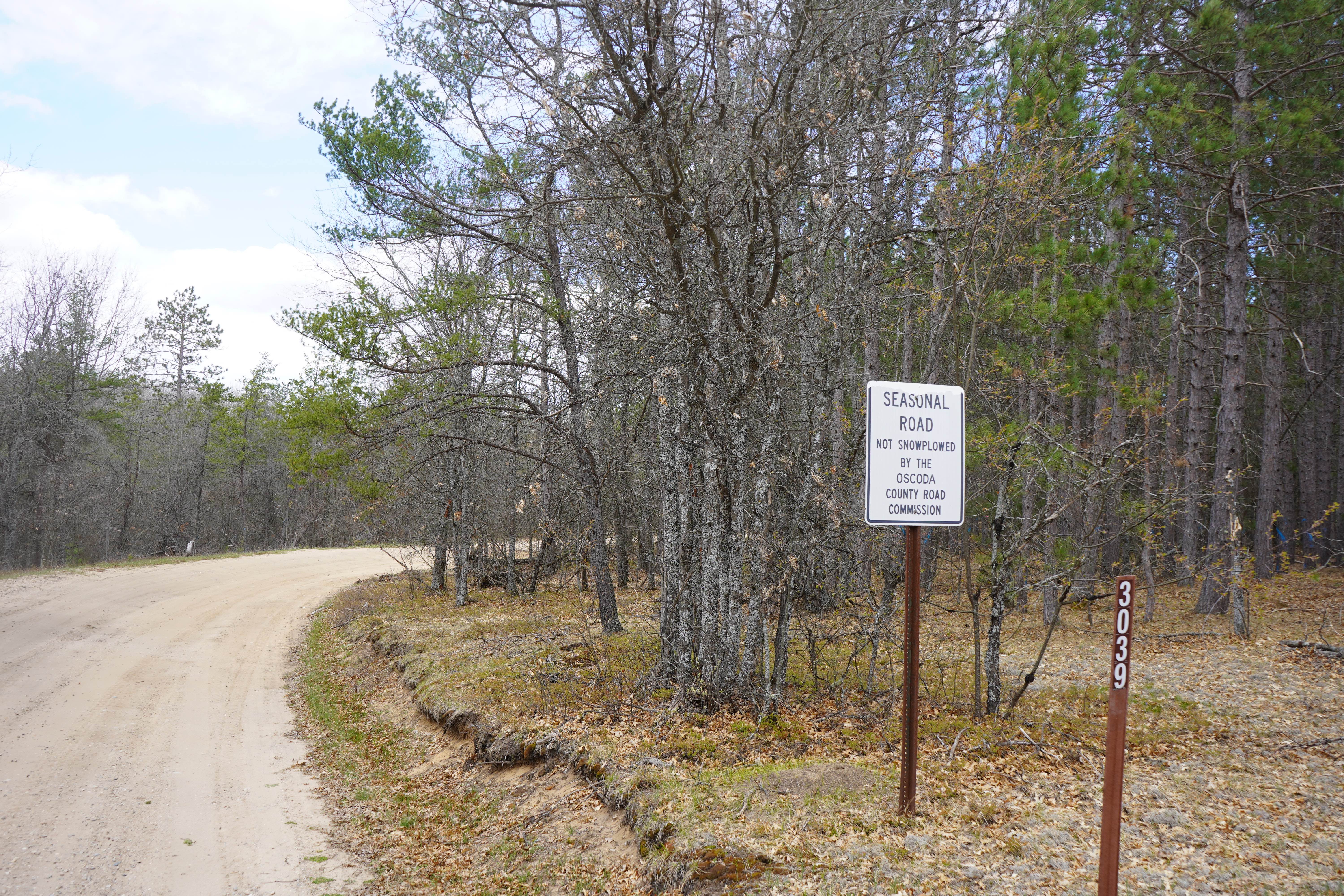
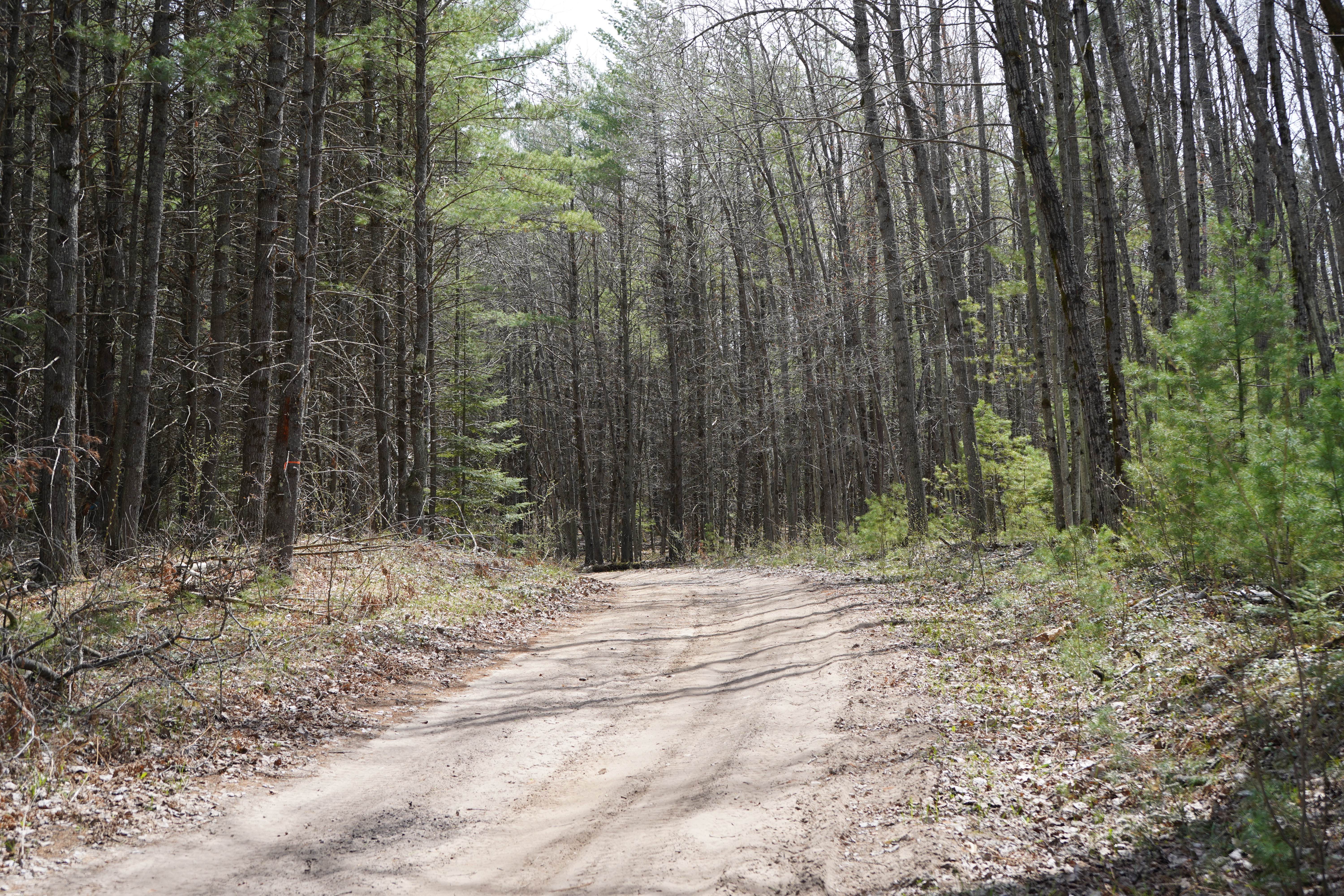
This is a mild forest road that takes you from Luzerne, MI, up to the Au Sable River. Towards the south end, it is sandy, has some ruts, and is about 1.5 vehicles wide. Further north towards the river, it becomes a wider dirt road that is approximately 3 vehicles wide. A majority of this road is unmaintained during rain and snow.
Photos of Knott Road
Difficulty
This is a seasonal road, which means it is unmaintained during rain or snow. Aside from seasonal weather, it is a mild, sandy road that is passable to all 4WD vehicles.
Status Reports
Knott Road can be accessed by the following ride types:
- High-Clearance 4x4
- SUV
Knott Road Map
Popular Trails

Mine View Trail
Cedar Creek Motorsport Trail (North Loop)
Aginaw Loop

HR Connector Trail
The onX Offroad Difference
onX Offroad combines trail photos, descriptions, difficulty ratings, width restrictions, seasonality, and more in a user-friendly interface. Available on all devices, with offline access and full compatibility with CarPlay and Android Auto. Discover what you’re missing today!