Harvey Road
Total Miles
3.0
Technical Rating
Best Time
Spring, Fall, Winter, Summer
Trail Type
Full-Width Road
Accessible By
Trail Overview
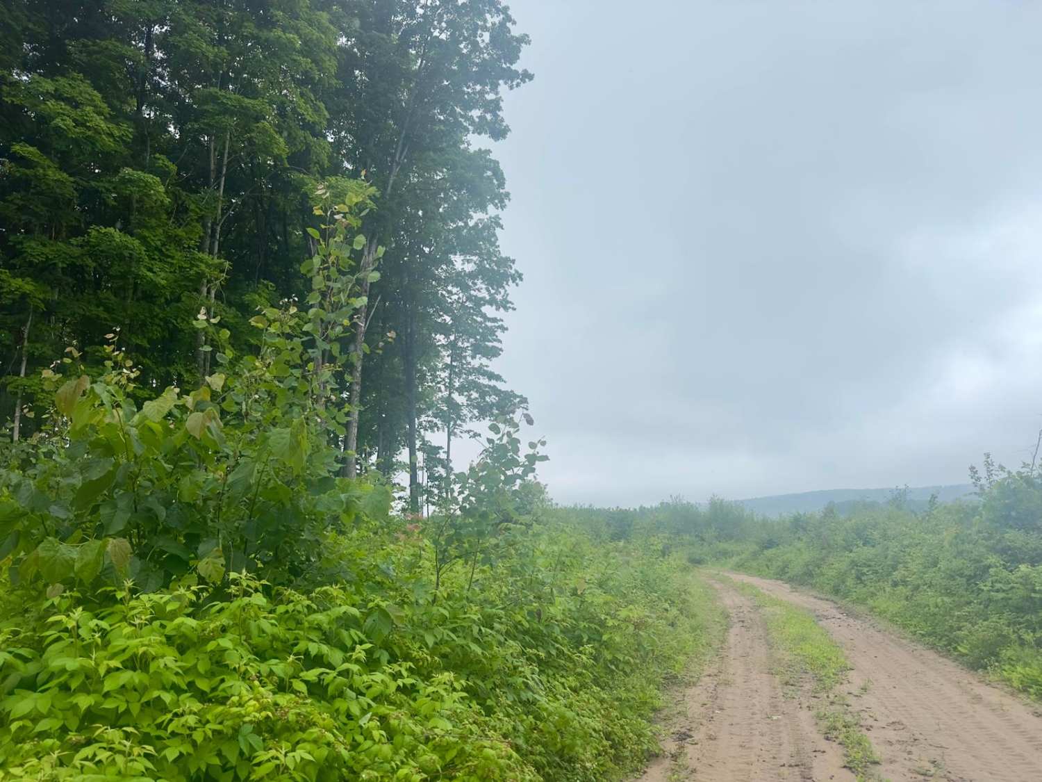
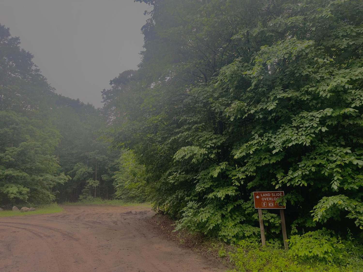
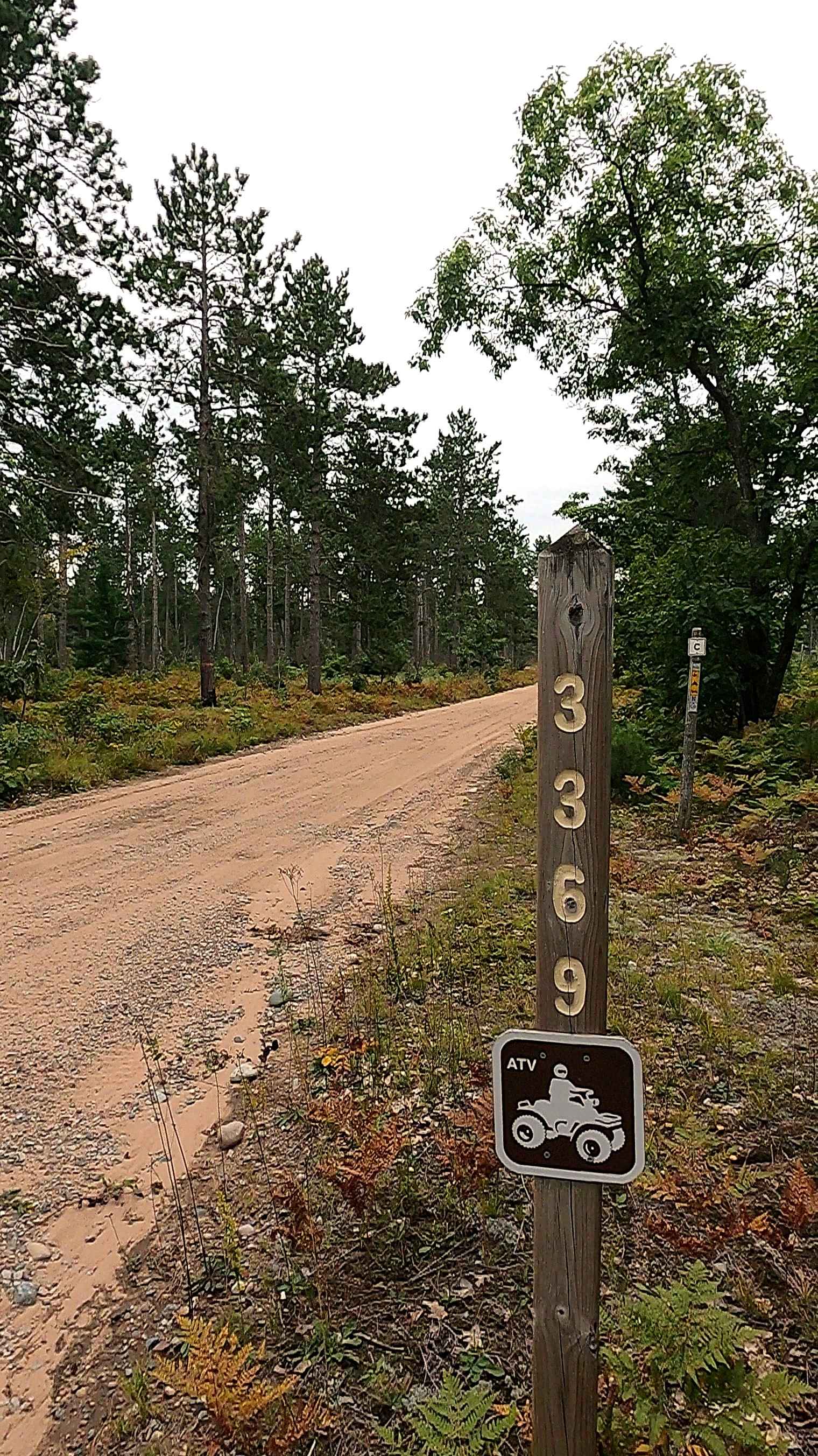
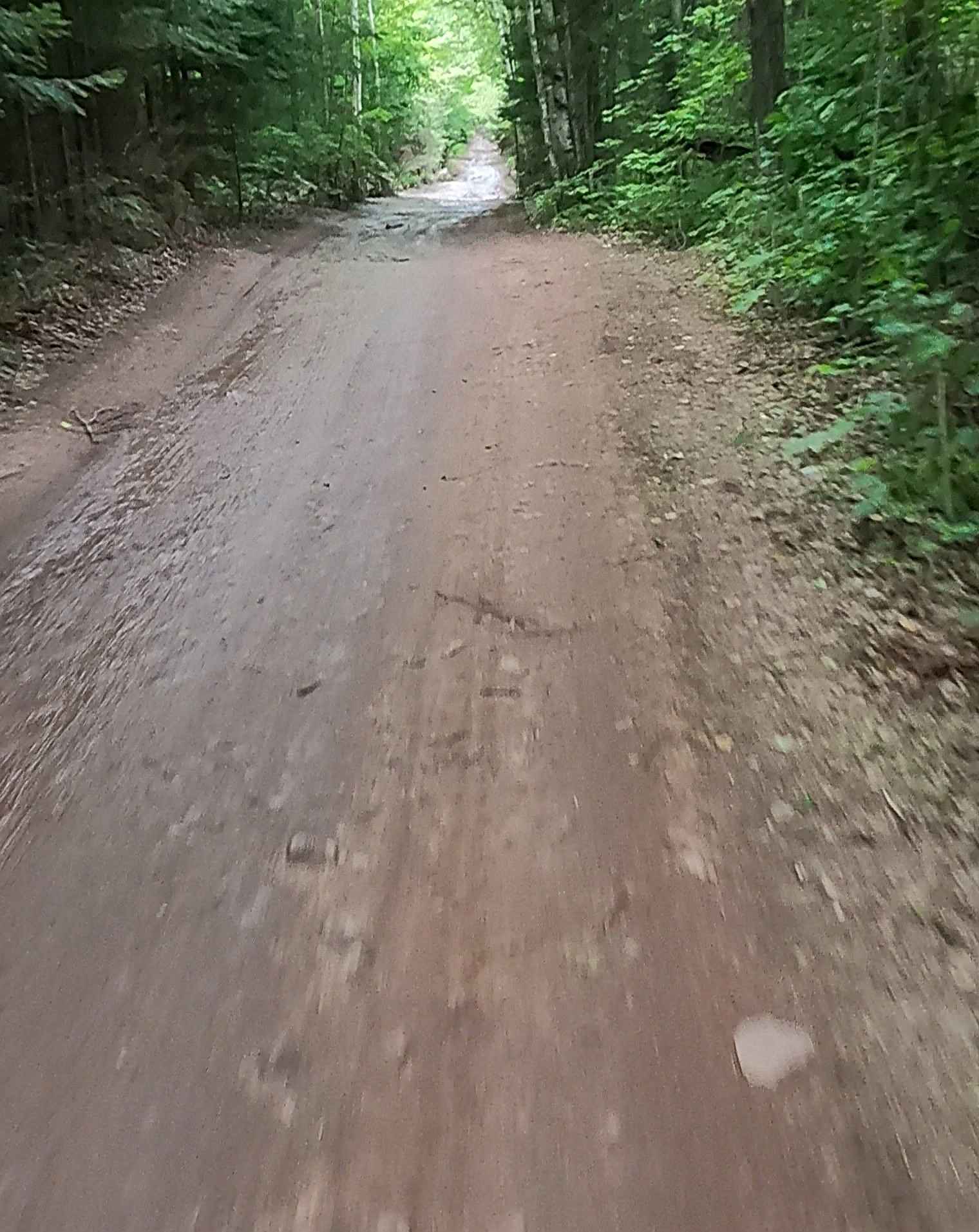
Harvey Road is a dirt and rock-based trail that travels north and south. It's an out-and-back trail as shown on the map. There are other trails that people have taken further, but the map does show the road ends at a certain point. On the south side of the trail, you will be tucked into the woods until you come across the Landslide Overlook parking, where you will find multiple parking spots as well as a vaulted toilet. To the north of the parking you will see the trail continues past an open gate. There were no signs on the gate about closures. As you continue north, the trail leads you down in elevation until you reach an open meadow where the road eventually ends, and there will be a good place to turn around. We are all visitors here, so please be cautious and courteous of the surrounding land and animals. Practice safe and effective Tread Lightly principles to ensure this land stays open for us to use.
Photos of Harvey Road
Difficulty
Dirt and rock-based one to two vehicles wide, with places to pass. The trail is easily traversed by most rigs.
History
The Jordan River, as well as the surrounding area, has been an important part of Michigan's history for many years. Originally, the river and the surrounding land were home to bands of Ottawa Indians who are believed to have periodically inhabited the Jordan River watershed. Around the 1870s, the logging boom took off with many families like the Pinney family making a name for themselves in the area. In 1972, the state of Michigan designated the Jordan River as its first "wild and scenic" river to protect it and the surrounding land from commercialization. To this day, the river is still a vital part of daily life for the people of Michigan.
Status Reports
Harvey Road can be accessed by the following ride types:
- High-Clearance 4x4
- SUV
- SxS (60")
- ATV (50")
- Dirt Bike
Harvey Road Map
Popular Trails
Iroquois - FS 3369
Two Hearted Trail Connector

Riverbend Lookout Trail
ST3 - ORV Route BD
The onX Offroad Difference
onX Offroad combines trail photos, descriptions, difficulty ratings, width restrictions, seasonality, and more in a user-friendly interface. Available on all devices, with offline access and full compatibility with CarPlay and Android Auto. Discover what you’re missing today!