Graves Trail
Total Miles
1.5
Technical Rating
Best Time
Spring, Summer, Fall, Winter
Trail Type
Full-Width Road
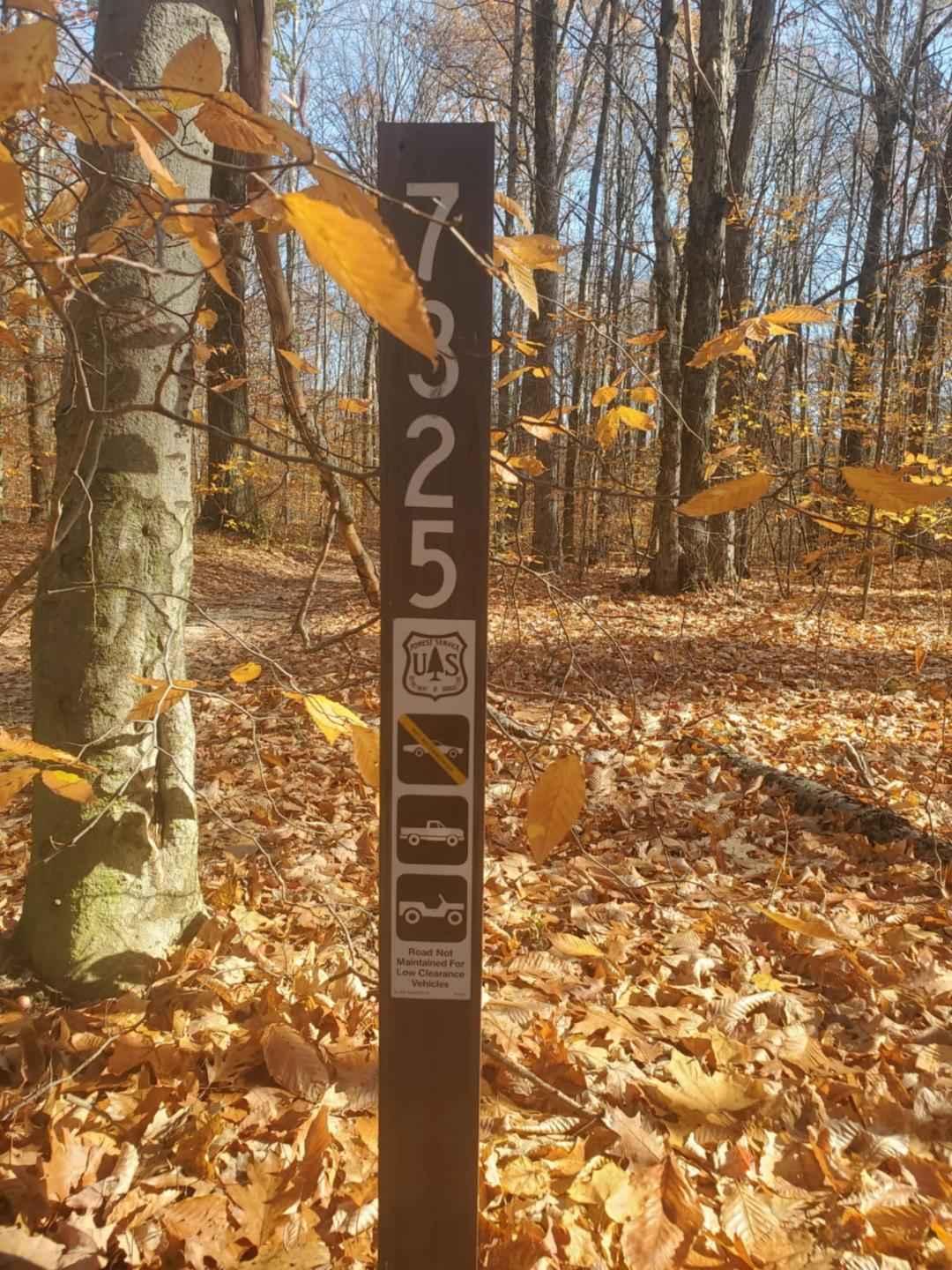
Accessible By
Trail Overview
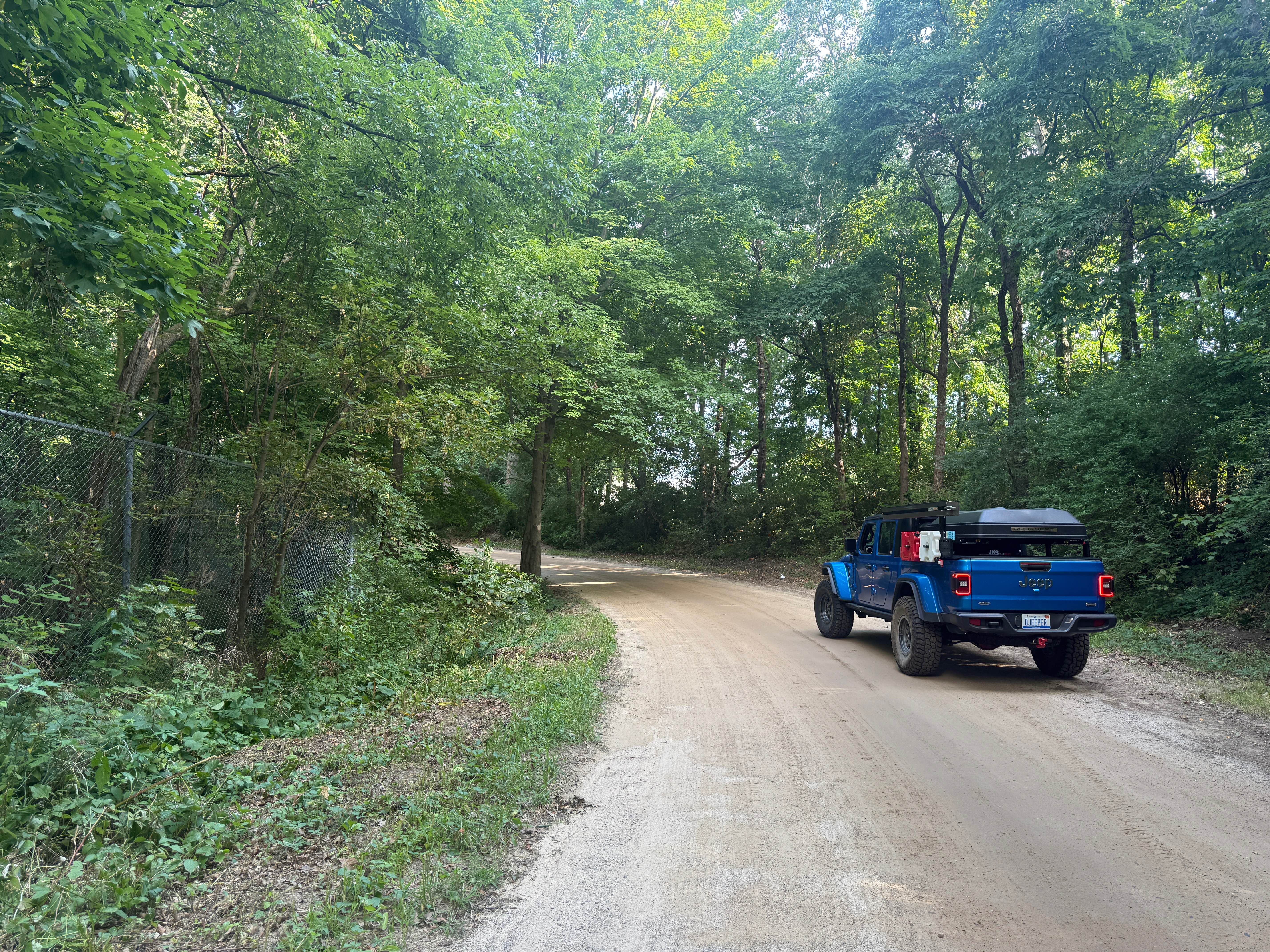
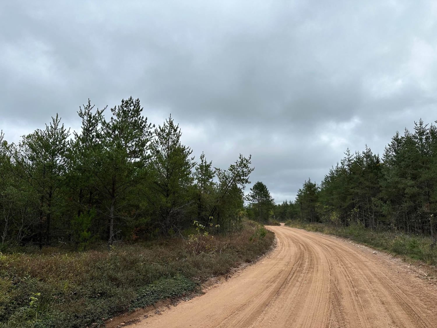
Graves Trail is a fun and entertaining bidirectional trail near the Pinckney State Rec Area. Located just north of Sayles Lake off of M-36, this trail is easily accessible. Starting from the northern end, you'll start out on a mostly dirt road in a section of the forest with lush vegetation edging the trail. Shortly into this route, you'll come across the University of Michigan Biological Research Station. This is such a unique thing to come across, so take some time to check it out on the outside, but please be respectful of the area. There is NO TRESPASSING, but what you can see is still pretty cool. The remainder of the trail is a standard Michigan trail. Be sure to take it all in and TREAD LIGHTLY so future generations can enjoy these public spaces. Like most of Michigan trails, conditions are dependent on the weather. Recent rainfall can cause unfavorable conditions on the trail, including downed trees, mud holes, and washouts. Come Prepared! This is a fun and unique trail to Michigan that contains a lot of beauty and entertainment. This trail also gives access to other great trails nearby. The southern end of the trail finishes at D-32. Regardless of the conditions or rating of this trail, it's a very fun route to check out! As always, PLEASE TREAD LIGHTLY and be respectful of our public lands so future generations can have access to these trails!
Photos of Graves Trail

Difficulty
The technical rating and difficulty were given a one because it's a dirt road with gentle grades. This trail is safe for all vehicle types and is two vehicles wide.
Status Reports
Graves Trail can be accessed by the following ride types:
- High-Clearance 4x4
- SUV
Graves Trail Map
Popular Trails

Rock Rapids spur

MCCCT M-37 to Little Manistee
Hemmings Lake Road
The onX Offroad Difference
onX Offroad combines trail photos, descriptions, difficulty ratings, width restrictions, seasonality, and more in a user-friendly interface. Available on all devices, with offline access and full compatibility with CarPlay and Android Auto. Discover what you’re missing today!