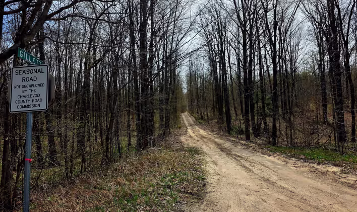
Gillette Road
Total Miles
2.8
Technical Rating
Best Time
Spring, Summer, Fall
Trail Type
60" Trail
Accessible By
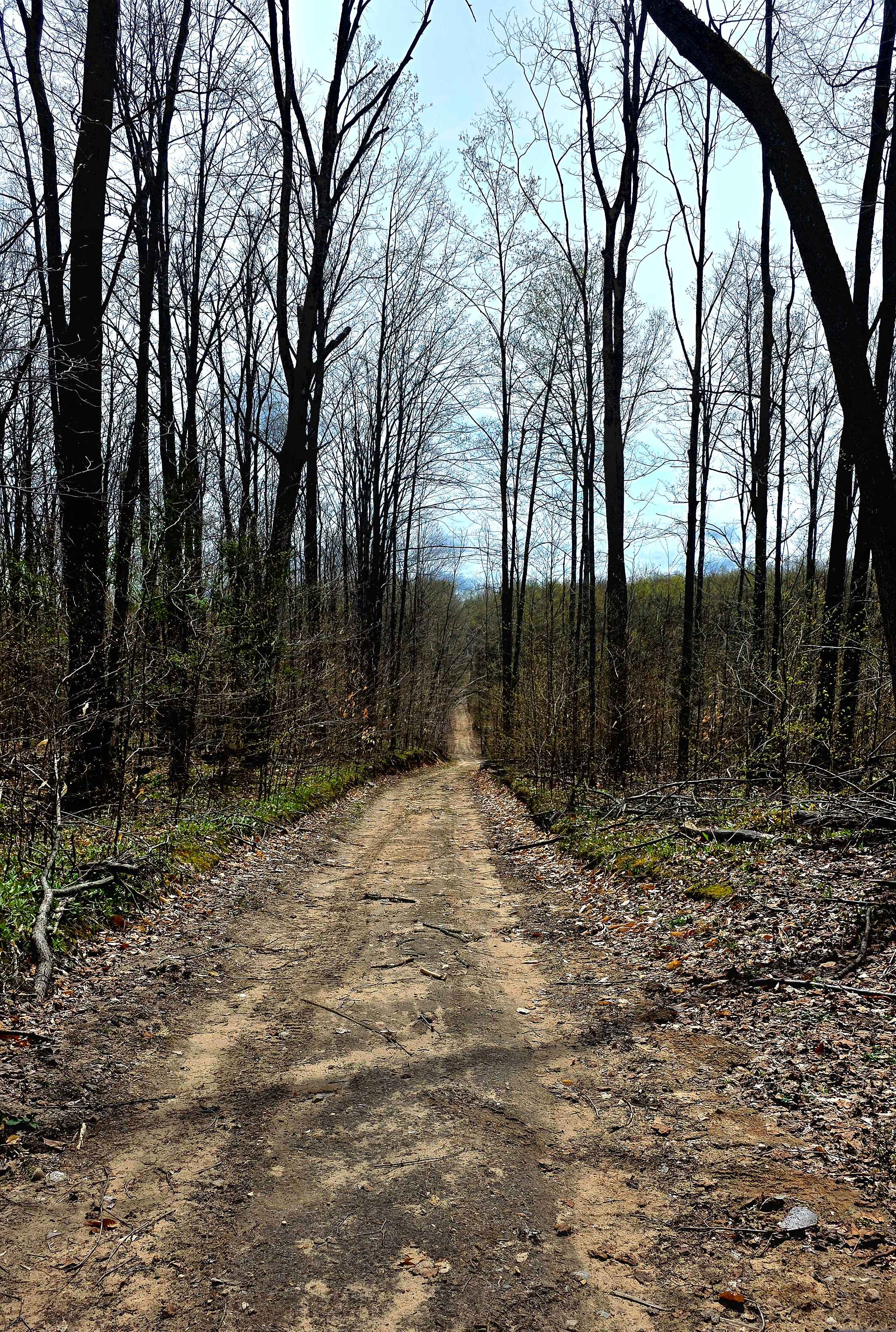
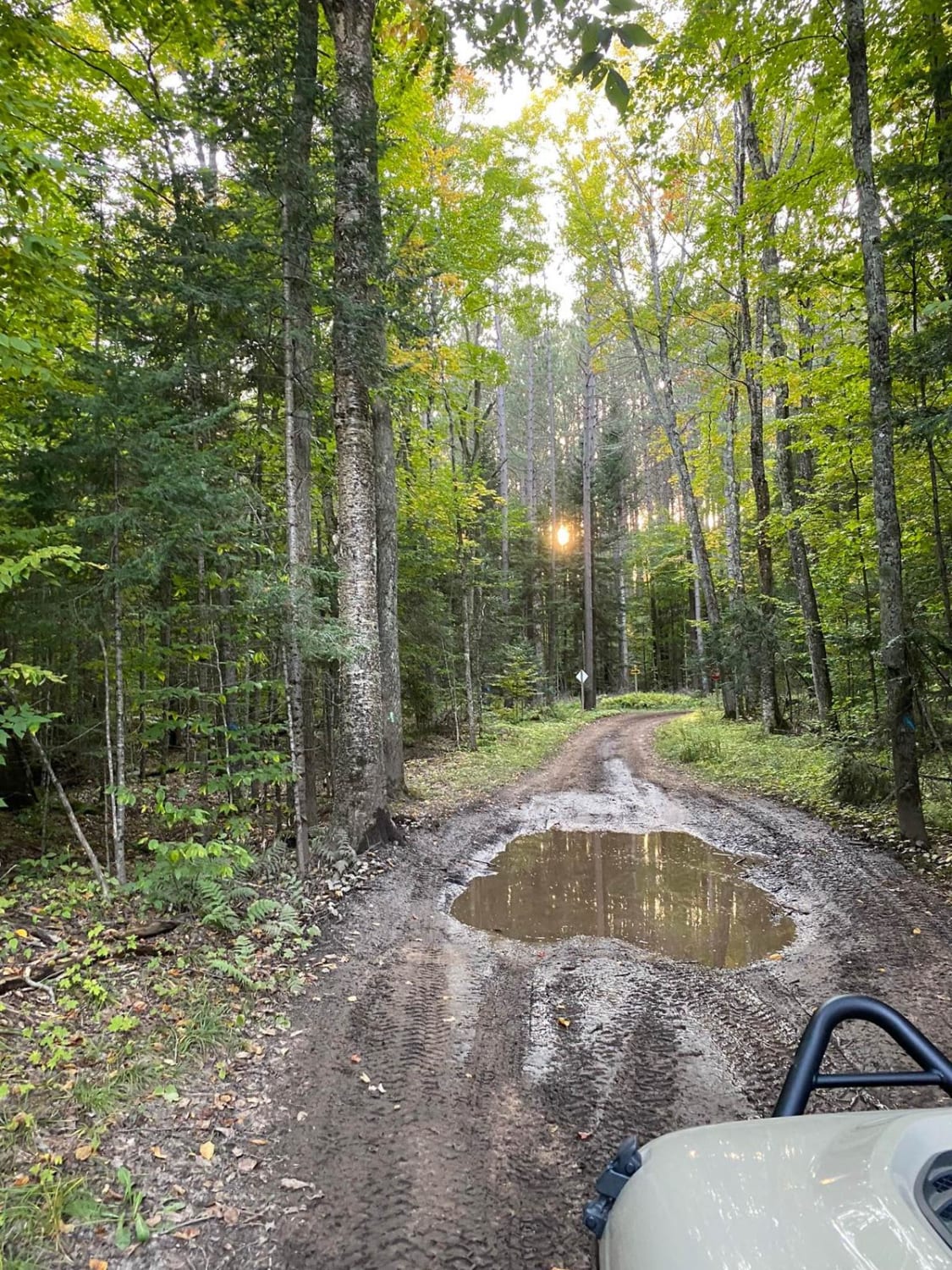
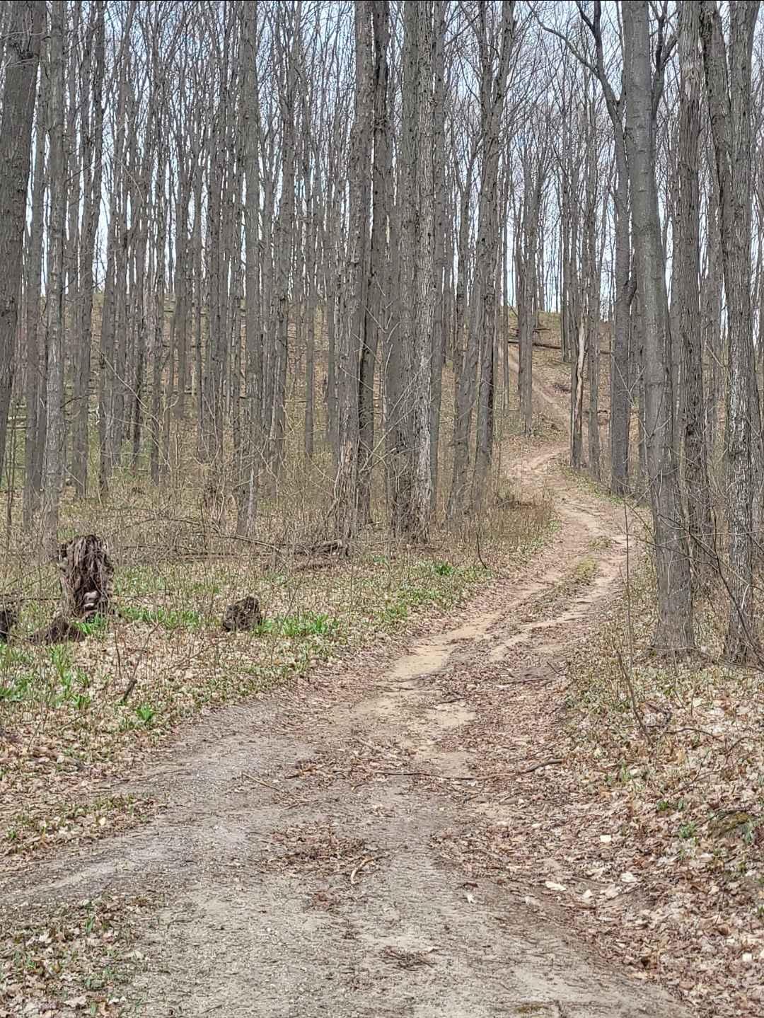
Trail Overview
Point-to-point trail south of Petoskey, Michigan, and west of the ORV parking trailhead located on Springvale Road. This trail/seasonal road. Can be a cut-through from Johnson Rd trail just north and take you to Cobb Road. and over to Springbrook Golf course, which has a bar and grill and welcomes ORV riders; check for seasonal hours. It's gravel, dirt, and some rut washouts as you go downhill halfway through. Water can cross the trail after a good rain and remain for a while in some small areas. Sometimes ruts get very muddy on one side. It's a nice way through the woods; you may see deer, turkeys, etc. on the trail.
Photos of Gillette Road
Difficulty
It's not too hard unless it rains a lot and near the bottom of the elevation, as there are a few small hills, it sometimes washes out some with water mainly on one side, creating uneven ground with ruts, but only for a 100-yard area or so; other than that pretty firm. Does get tight in some areas, but usually ok to move over for oncoming traffic. Some low tree branches, so a full-size 4x4 might use discretion for scraping branches.
Status Reports
Gillette Road can be accessed by the following ride types:
- SxS (60")
- ATV (50")
- Dirt Bike
Gillette Road Map
Popular Trails
Tamcha 2706 To FF Hwy 13 - Part 9
Artesia Beach Trail

North Pike Lake
The onX Offroad Difference
onX Offroad combines trail photos, descriptions, difficulty ratings, width restrictions, seasonality, and more in a user-friendly interface. Available on all devices, with offline access and full compatibility with CarPlay and Android Auto. Discover what you’re missing today!