Edison Road - FS 3309
Total Miles
5.4
Technical Rating
Best Time
Spring, Summer, Fall
Trail Type
Full-Width Road
Accessible By
Trail Overview
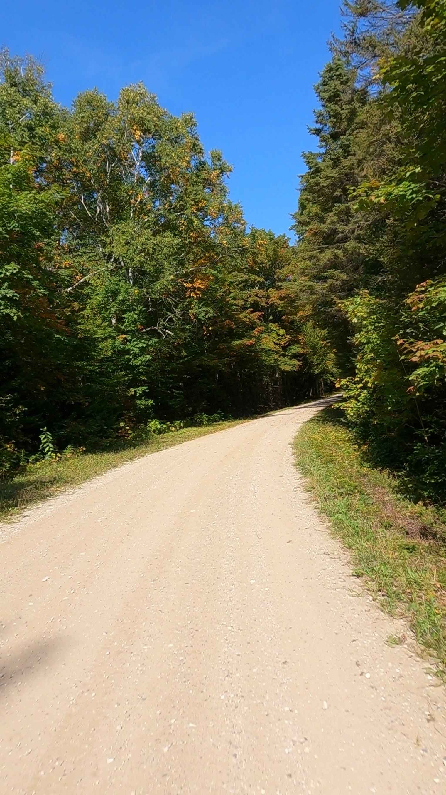
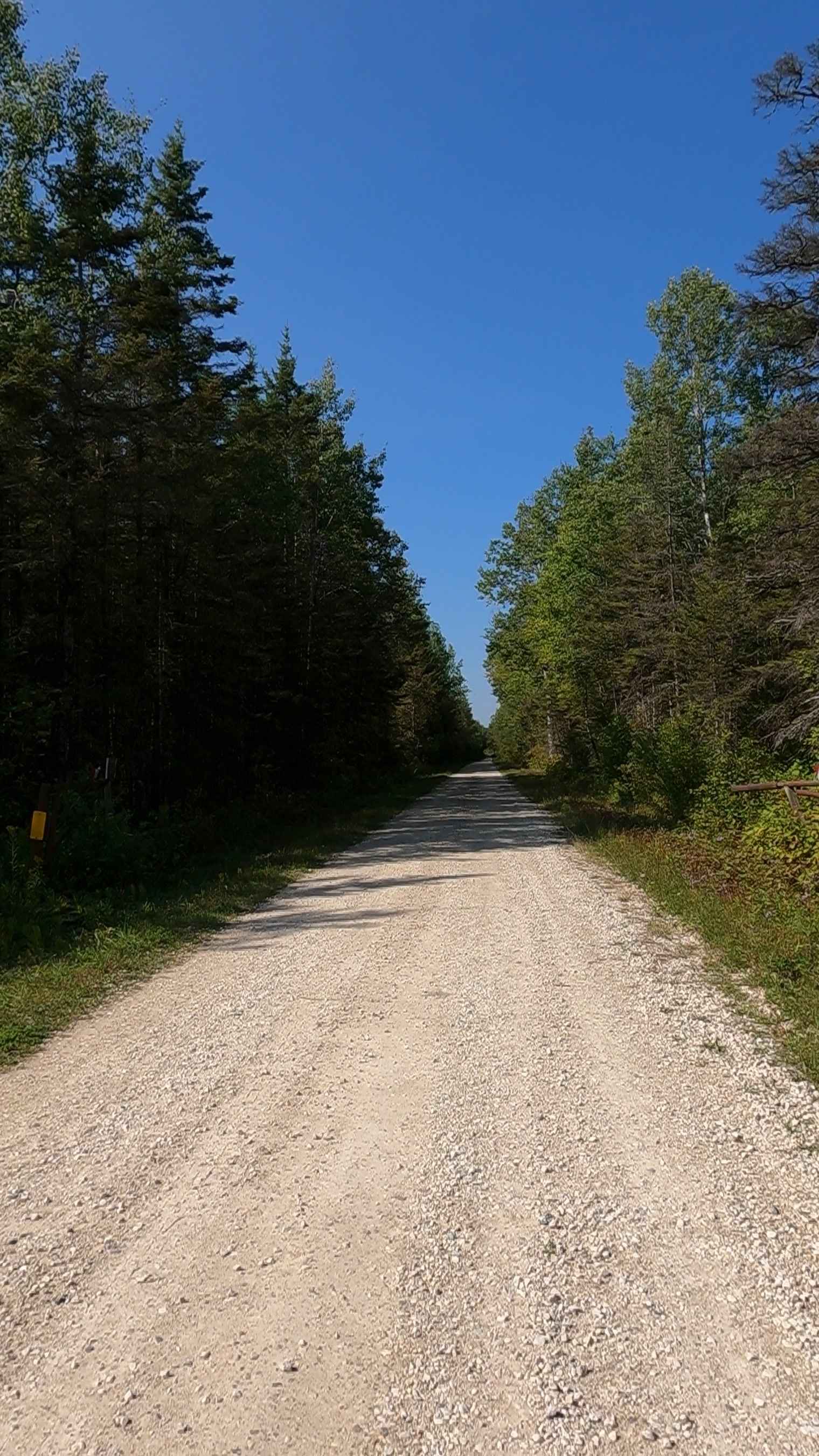
Federal Forest Service Road (FS) 3309, also known as Edison Road, is a federally owned/ locally maintained, Level-2/ Level-3 forest road with a surface composition of dirt, sand, gravel, and native material. This route is currently open and in fair condition; it is not a DNR road (ORV use is subject to local government regulations). It connects 16 Mile Road/ Akrigg to East Lake Road. Description created on September 17, 2025.
Photos of Edison Road - FS 3309
Difficulty
Gravel, dirt, sandy road, unmaintained after rain or snow that may give rise to shallow water crossings and obstacles under 12 inches on the trail, including small ledges. This road is typically one to two vehicles in width, with portions that narrow down to a "Two Track" road.
History
Edison Road is a key thoroughfare near the northern terminus of the Mackinac Bridge, serving as part of the infrastructure connecting to the city and nearby attractions. Historically, this area in Mackinac County evolved from indigenous territory to a French mission site founded in 1671, before developing into a major Straits of Mackinac tourist and transit hub.
Status Reports
Edison Road - FS 3309 can be accessed by the following ride types:
- High-Clearance 4x4
- SUV
- SxS (60")
- ATV (50")
- Dirt Bike
Edison Road - FS 3309 Map
Popular Trails
H9 4194 to 2172

Cadillac Area ORV/OHV Scenic Ride - Part 17
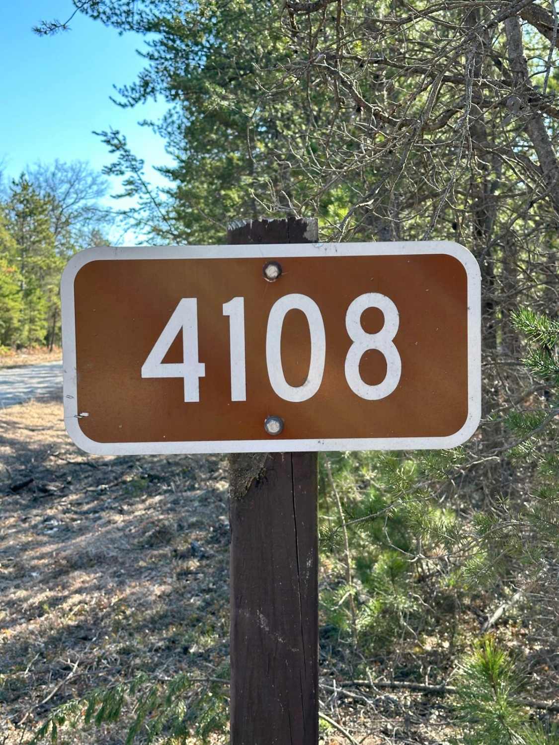
Largo Road - FS 4108

Ambrose Lake Trail West Loop
The onX Offroad Difference
onX Offroad combines trail photos, descriptions, difficulty ratings, width restrictions, seasonality, and more in a user-friendly interface. Available on all devices, with offline access and full compatibility with CarPlay and Android Auto. Discover what you’re missing today!