De Mull Creek Trail
Total Miles
2.2
Technical Rating
Best Time
Spring, Summer, Fall
Trail Type
Full-Width Road
Accessible By
Trail Overview
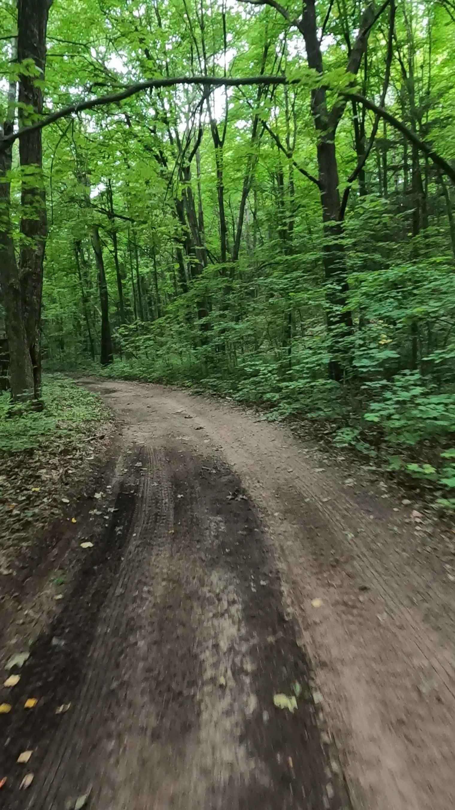
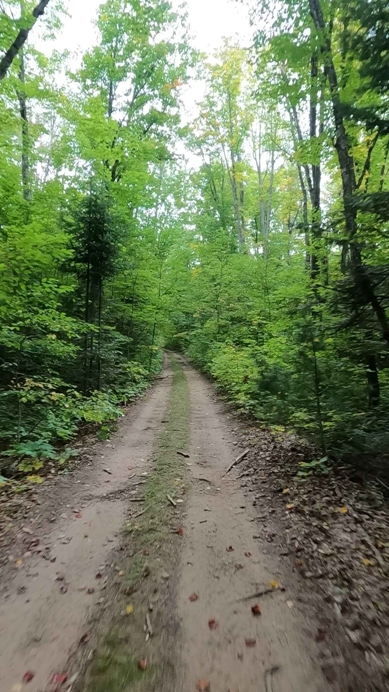
De Mull Creek Trail is a locally owned/locally maintained, Level-2/ Level-3 forest road with a surface composition of dirt, sand, gravel, and native material. This route is a "There-and-Back" loop that is currently open and in fair condition; it is not a DNR road (ORV use is subject to local government regulations) and connects to Lavender Lake Road. Description created on September 10, 2025.
Photos of De Mull Creek Trail
Difficulty
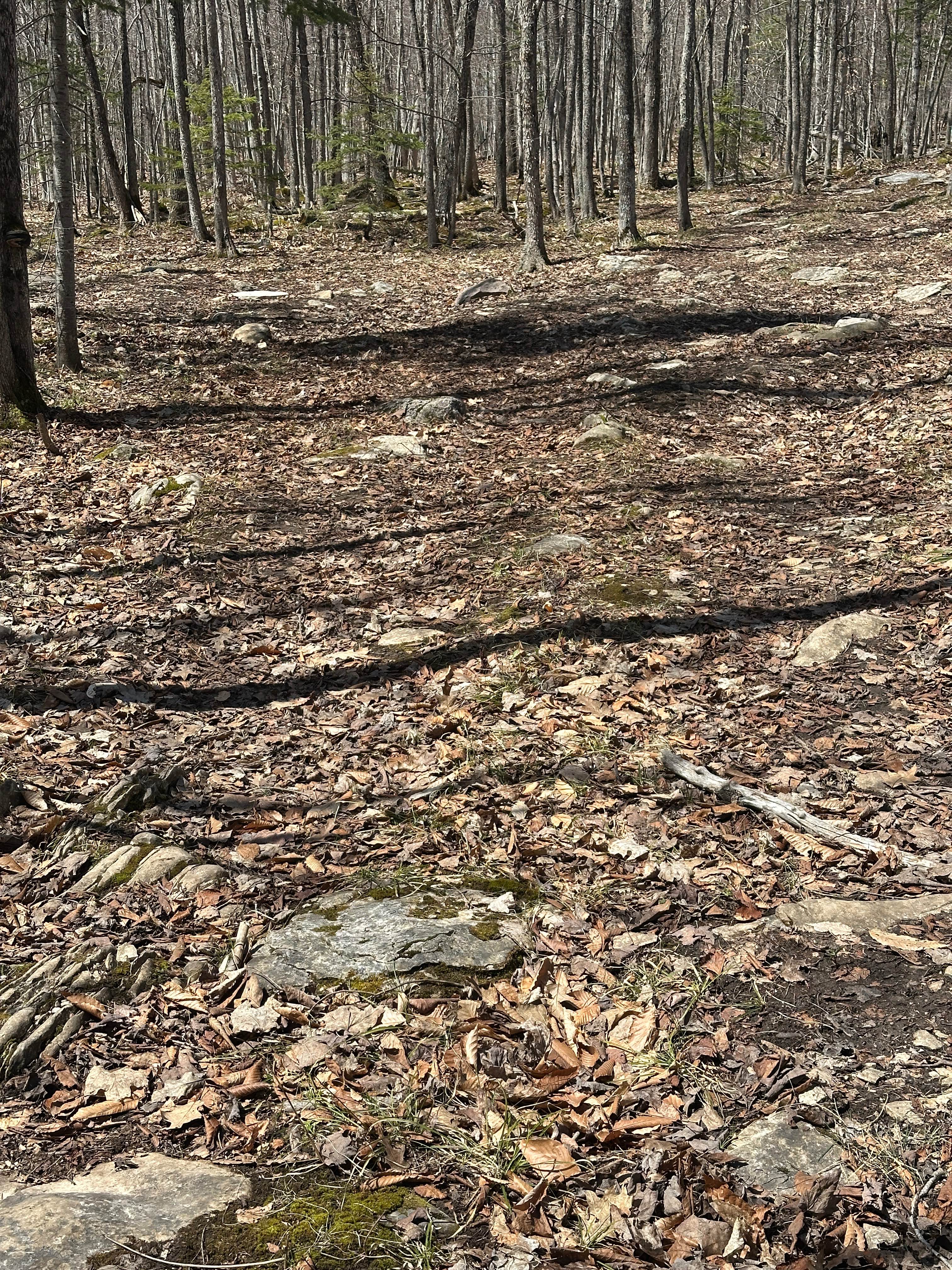
Dirt, gravel, sand, grass, and a rooted path, typically unmaintained after rain or snow, that may give rise to shallow water crossings and obstacles under 12 inches on the trail, including small ledges. This route is a narrow "Two-Track" that is one vehicle in width.
History
De Mull Creek Trail, situated in the scenic area just south of Grand Marais, Michigan, sits in a historically rich region defined by late 19th-century logging, particularly near the nearby Log Slide. This area once featured massive white pine harvesting, with wooden chutes used to transport timber down the steep dunes. Logging History: The area near Lavender Lake and the Log Slide was vital for the logging industry in the late 19th and early 20th centuries. The Log Slide: A wooden chute was constructed to transport timber down the steep dunes, where it was then loaded onto ships for transportation. Grand Sable Dunes: The location is adjacent to the Grand Sable Dunes and offers views of the historic Au Sable Point Lighthouse to the west. Development: The region, including the area around Grand Marais, was settled for industries such as shipping and logging, with the village itself established around 1882. Often associated with the "Lavender Corner" area on Michigan Route 77 just north of Seney, was crucial for connecting the area to Grand Marais, saw significant upgrades, including straightening sharp turns around 1950, and final paving in 1958-59.
Status Reports
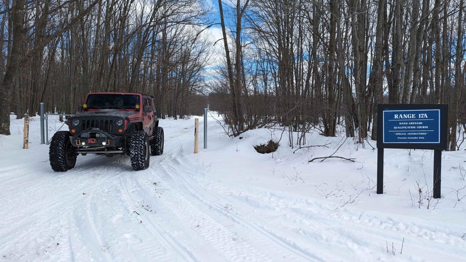
De Mull Creek Trail can be accessed by the following ride types:
- High-Clearance 4x4
- SUV
- SxS (60")
- ATV (50")
- Dirt Bike
De Mull Creek Trail Map
Popular Trails

Conservancy / Elliott Road
The onX Offroad Difference
onX Offroad combines trail photos, descriptions, difficulty ratings, width restrictions, seasonality, and more in a user-friendly interface. Available on all devices, with offline access and full compatibility with CarPlay and Android Auto. Discover what you’re missing today!