Cuttin Lake Road
Total Miles
4.4
Technical Rating
Best Time
Spring, Fall, Summer
Trail Type
Full-Width Road
Accessible By
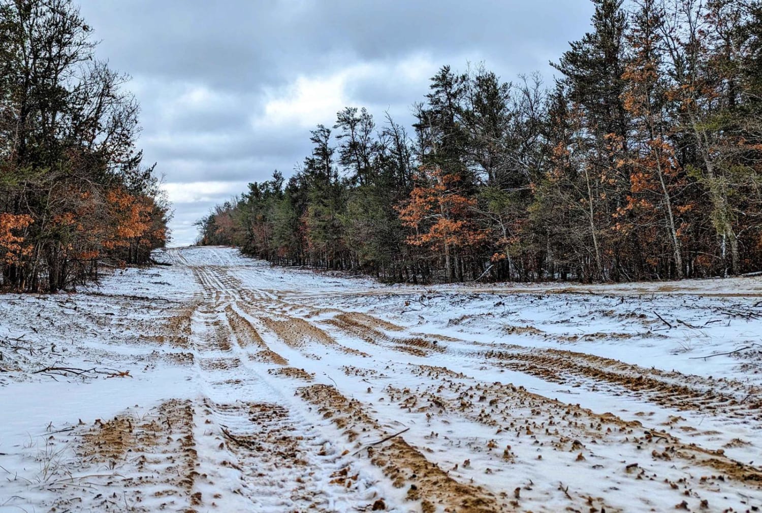
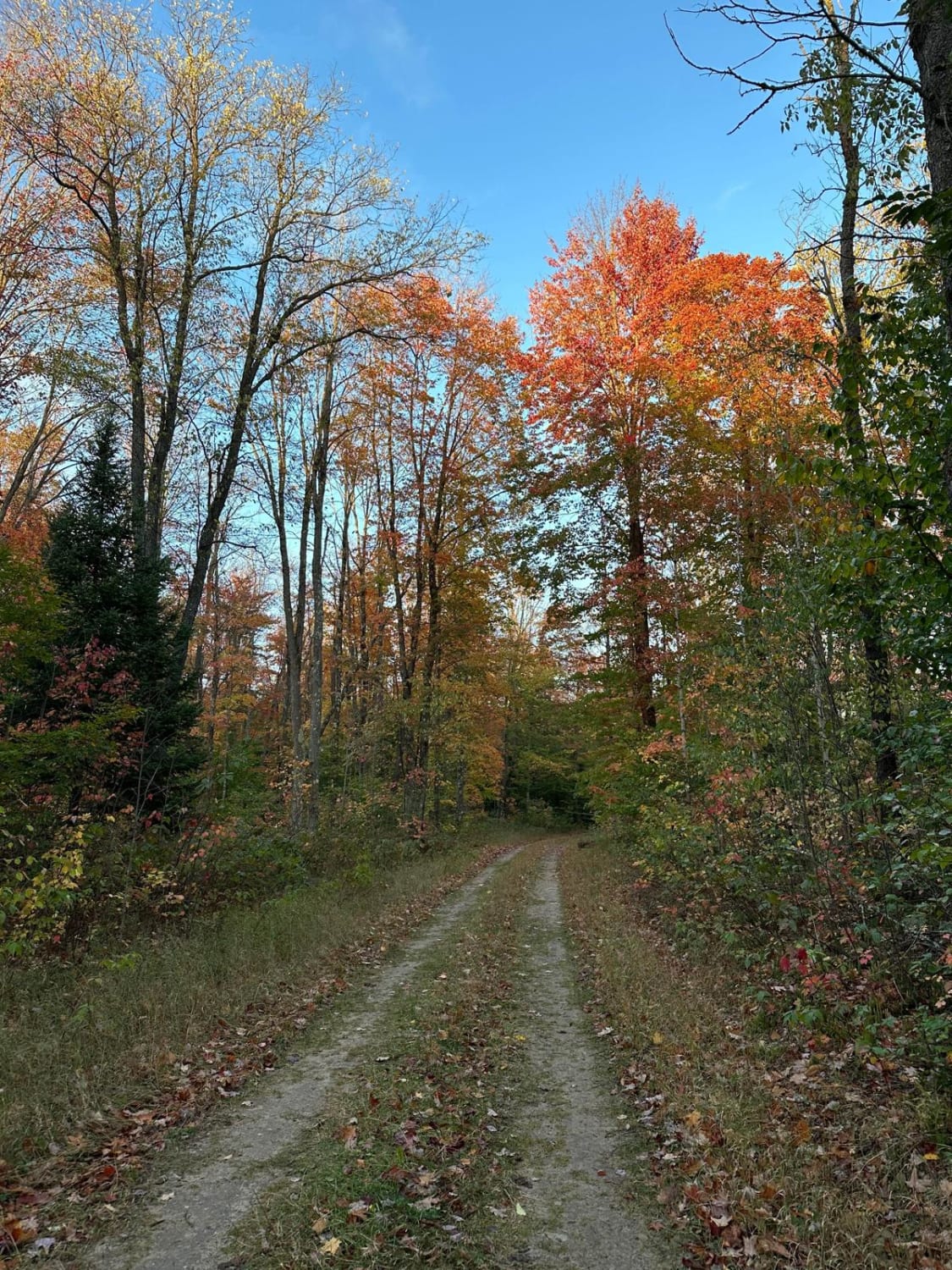
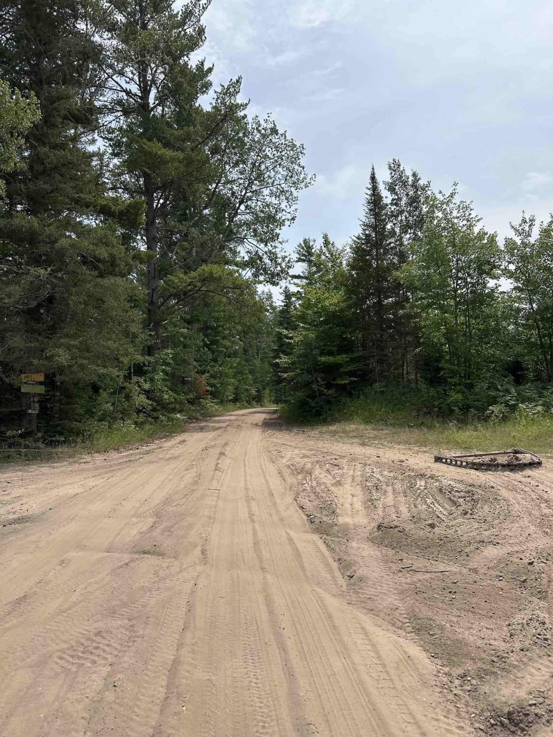
Trail Overview
This trail runs north and south between Heath and Tower Roads. The southern portion of the trail is roughly 4 vehicles wide and runs along an underground natural gas pipeline. This south section has washboarding and consists of a sandy terrain. You can expect to see some elevation changes with the biggest hill being roughly a 60-foot gradual climb. You will find the north end of the trail to be 1 vehicle wide with some tights spots.
Photos of Cuttin Lake Road

Difficulty
This is a sandy dirt road that's unmaintained.
Status Reports
Cuttin Lake Road can be accessed by the following ride types:
- High-Clearance 4x4
- SUV
- SxS (60")
Cuttin Lake Road Map
Popular Trails
Blue - FS 2760

Two Waterfalls, One Trail
Chris Brown Lake
The onX Offroad Difference
onX Offroad combines trail photos, descriptions, difficulty ratings, width restrictions, seasonality, and more in a user-friendly interface. Available on all devices, with offline access and full compatibility with CarPlay and Android Auto. Discover what you’re missing today!