County Line
Total Miles
13.2
Technical Rating
Best Time
Spring, Summer, Fall
Trail Type
Full-Width Road
Accessible By
Trail Overview
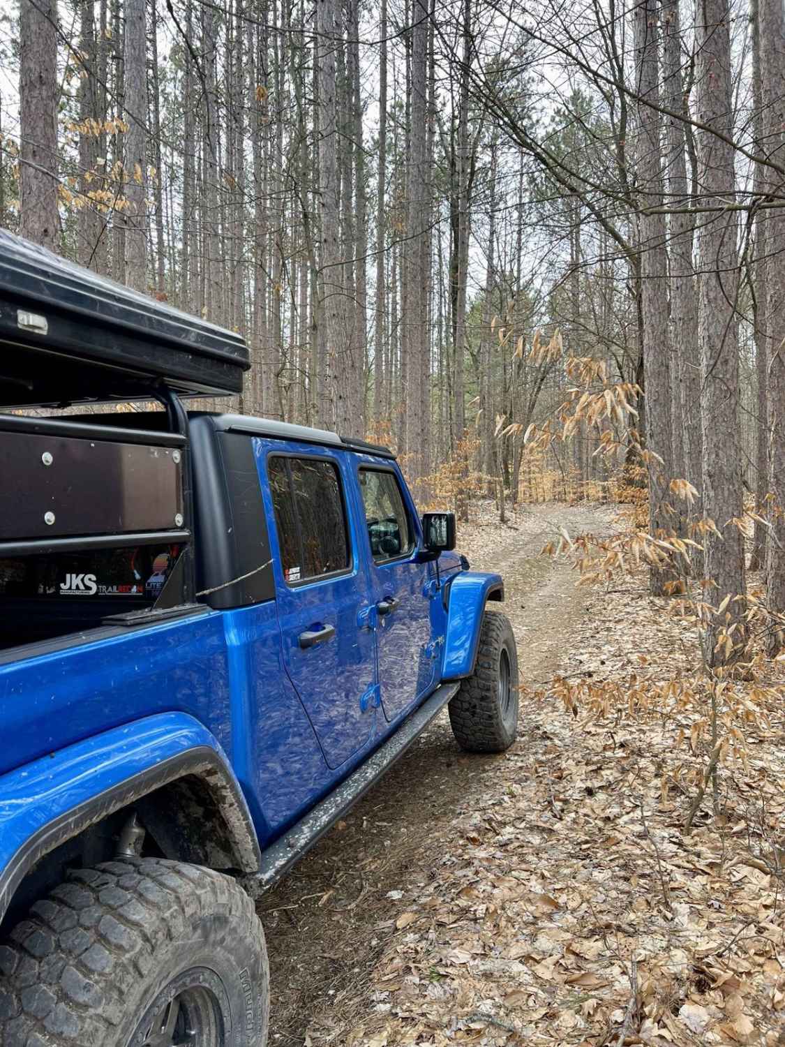
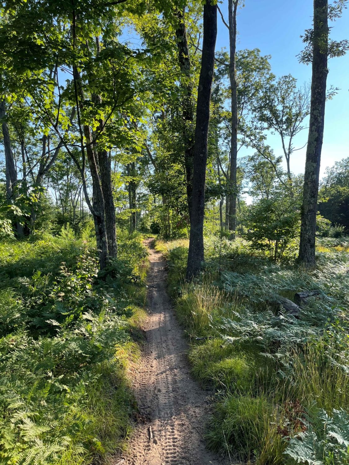
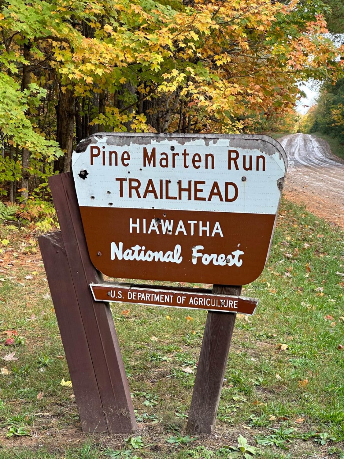
This trail divides several counties along with the national forest and state forest. This trail is mostly 1 vehicle wide, with a few sections of 1.5-vehicle width. The trail is mostly sand with a few areas that have been repaired with gravel. The trail has clear-cut areas forested areas. Various trails cross this trail to make for a fun day. Verify your vehicle is legal for the trails in the national forest.
Photos of County Line


Difficulty
This trail features loose sandy areas, with various mud holes after a rain, and narrow portions.
Status Reports
County Line can be accessed by the following ride types:
- High-Clearance 4x4
- SUV
- SxS (60")
- ATV (50")
- Dirt Bike
County Line Map
Popular Trails

Bucks East & West Truck Trail
Tin Cup Springs Motorcycle Trail
The onX Offroad Difference
onX Offroad combines trail photos, descriptions, difficulty ratings, width restrictions, seasonality, and more in a user-friendly interface. Available on all devices, with offline access and full compatibility with CarPlay and Android Auto. Discover what you’re missing today!