Cleveland Cliff- Empire Mines Trackway
Total Miles
7.2
Technical Rating
Best Time
Spring, Summer, Fall
Trail Type
60" Trail
Accessible By
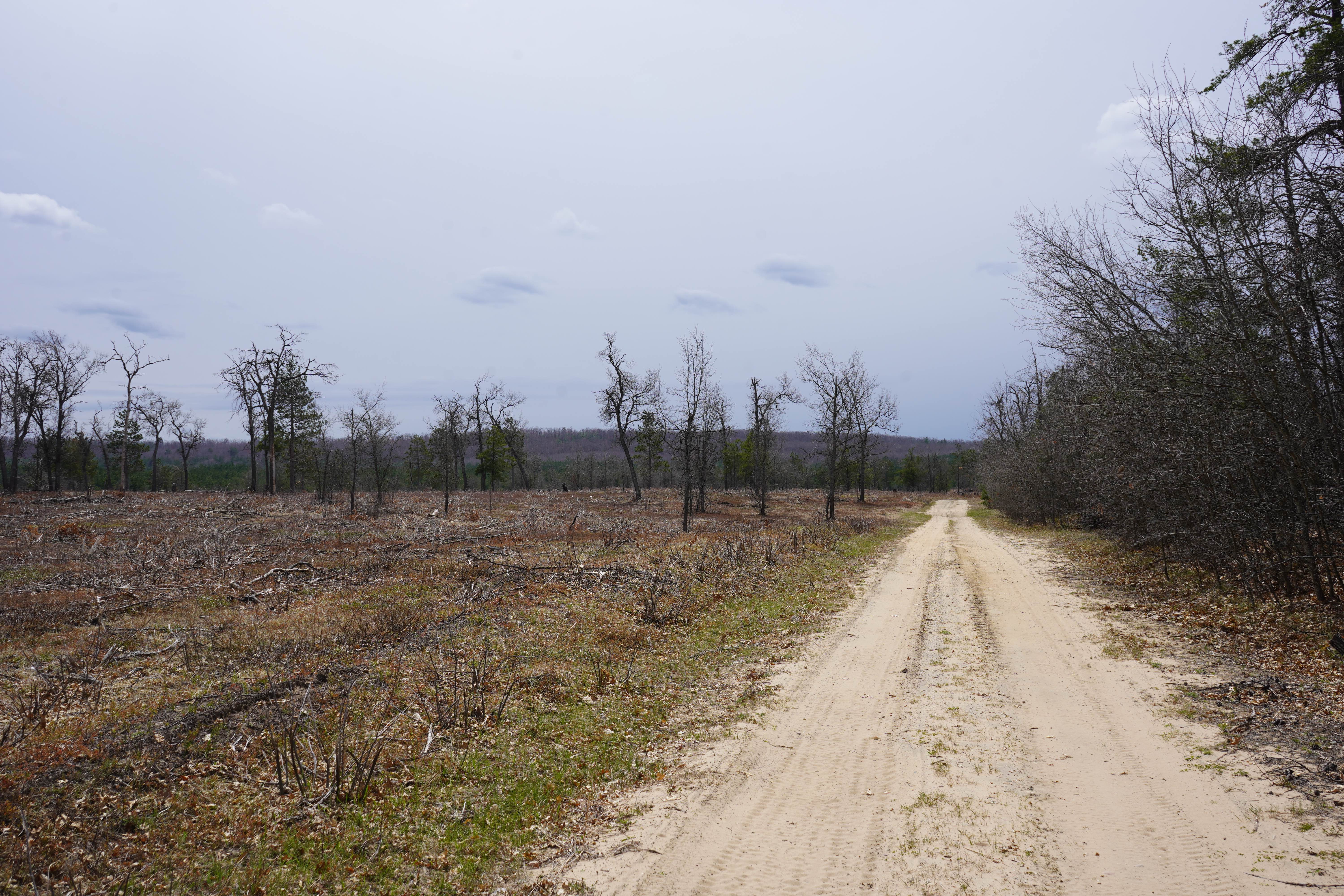
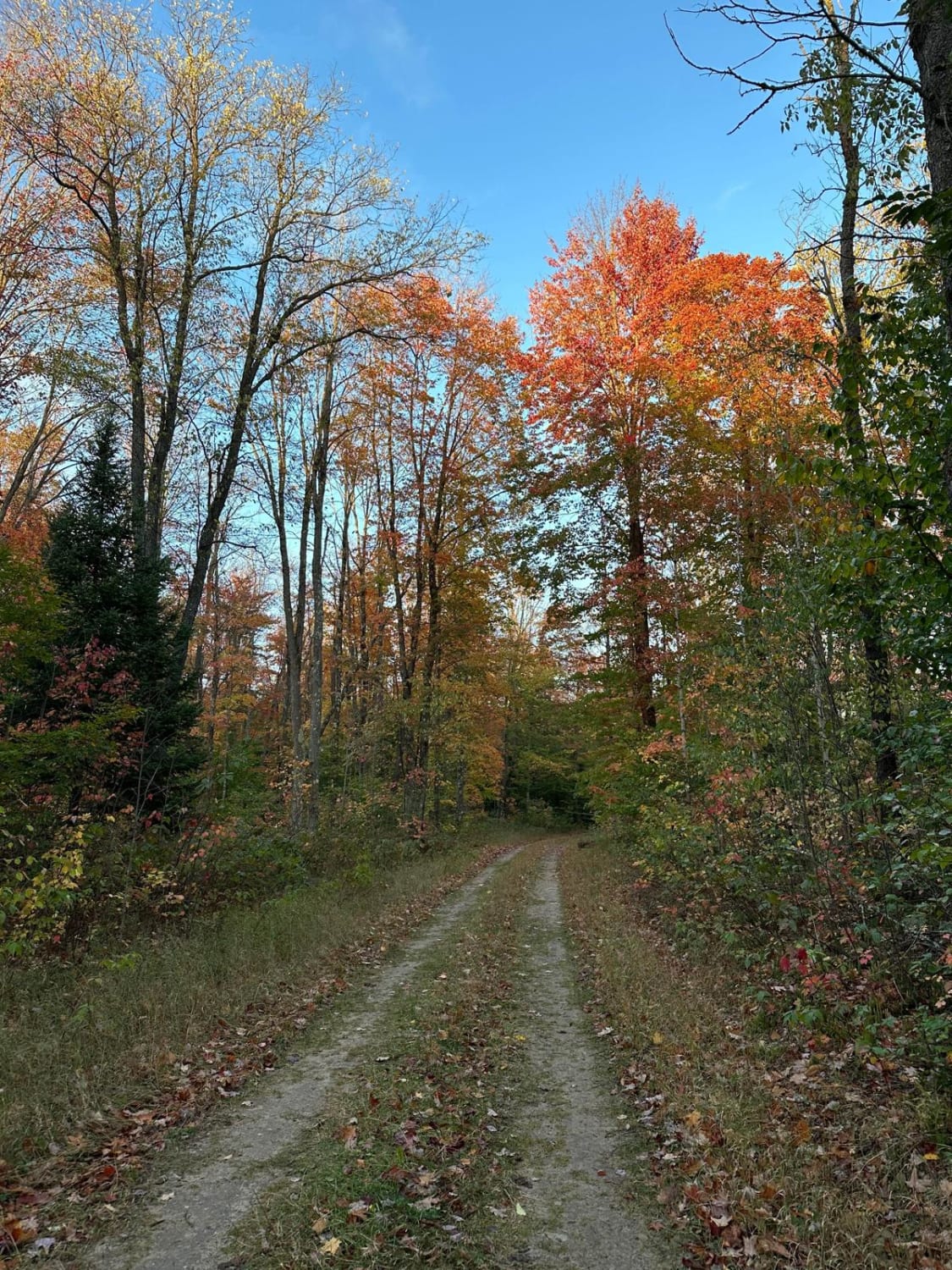
Trail Overview
The route begins at Mathews Road and County Road (M-28 Business) as the Nagaunee Substation route. It continues briefly along Old M-35, Rolling Mill, Miller Road, and Makinens Road. Old M-35 is a non-DNR road with an unspecified owner. The surface is composed of dirt, gravel, and native material, and the overall condition is considered fair. Since it is not a DNR road, ORV use is subject to local government laws. The road remains open under the current closure criteria. Rolling Mill Road is also a non-DNR road with an unspecified owner. The surface consists of dirt and gravel, and its condition is considered fair. Like the previous route, it is not a DNR road, and ORV use follows local government laws. The road is currently open under existing closure criteria.
Photos of Cleveland Cliff- Empire Mines Trackway
Difficulty
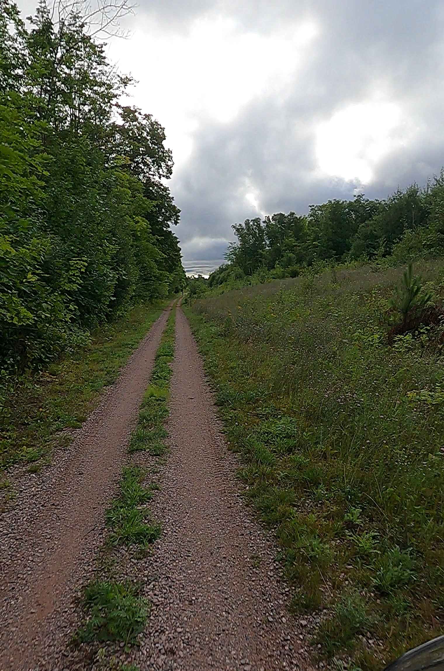
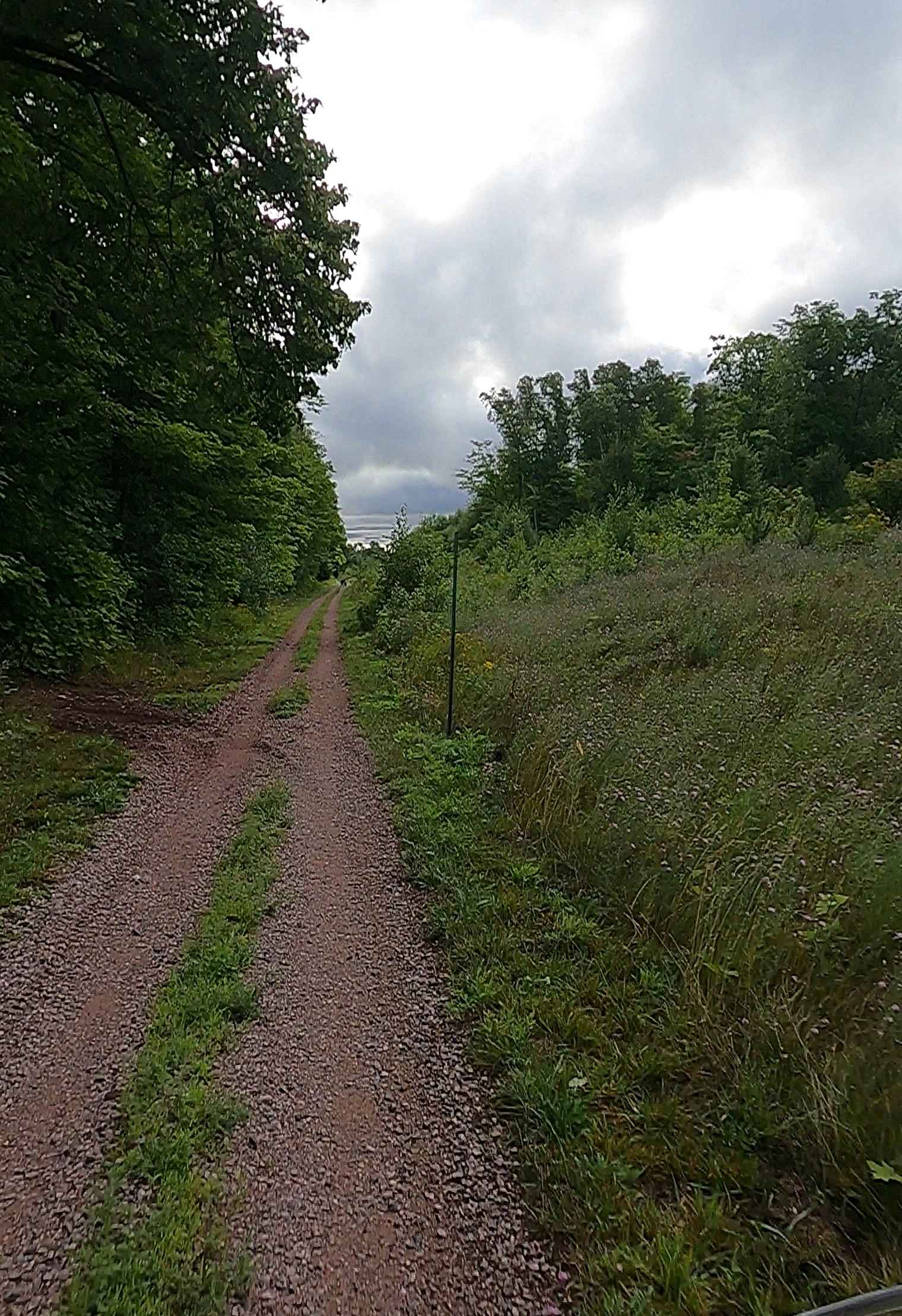
Dirt, mud, rocky road, typically unmaintained after rain or snow. You may encounter shallow water crossings and obstacles under 12" on the trail, including small ledges. Route near Negaunee is a tight "Two Track" but dirt road east of Negaunee is one to two vehicles wide.
History
The Negaunee Substation supported the historic Negaunee Mine, which was an underground iron mine operated by Cleveland-Cliffs Iron Company from 1887 to 1949 in the Marquette Range near Negaunee, Michigan. The substation's history is tied to the Negaunee Mine's operations, with the company's presence in the area stemming from the significant iron mining and processing that occurred there in the late 19th and early 20th centuries. The Negaunee Mine was a major source of iron ore until it was closed in 1949 due to resource depletion. The Cleveland-Cliffs Iron Company was formed in 1891 and operated numerous mines in Michigan's Upper Peninsula, including the Negaunee Mine. Substations are crucial infrastructure in mining operations, providing electrical power for machinery and supporting facilities. A substation at or near the Negaunee Mine would have been essential for powering the mining equipment, pumps, and other operations required for extracting and processing iron ore from underground. The Negaunee Mine and the surrounding area were central to the iron industry on the Marquette Range, a region vital to the early U.S. iron economy. As the industry evolved, with a shift from high-grade underground ores to lower-grade ores that required beneficiation and pelletizing, the Negaunee Mine closed. The presence of a substation indicates the long-standing relationship between the company and the local infrastructure needed for its historical mining activities in the Negaunee area.
Status Reports
Cleveland Cliff- Empire Mines Trackway can be accessed by the following ride types:
- SxS (60")
- ATV (50")
- Dirt Bike
Cleveland Cliff- Empire Mines Trackway Map
Popular Trails
Old Lake - FS 3111
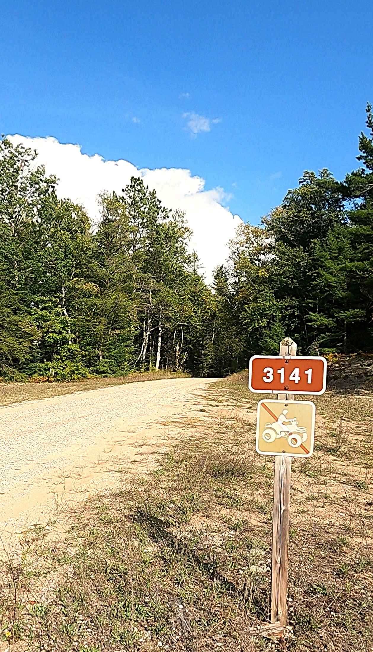
Lone Pine - FS 3141
Meridian Road - FS 4165
Blue - FS 2760
The onX Offroad Difference
onX Offroad combines trail photos, descriptions, difficulty ratings, width restrictions, seasonality, and more in a user-friendly interface. Available on all devices, with offline access and full compatibility with CarPlay and Android Auto. Discover what you’re missing today!