Caffey Truck Trail (ORV Route AI)
Total Miles
9.5
Technical Rating
Best Time
Spring, Summer, Fall
Trail Type
Full-Width Road
Accessible By
Trail Overview
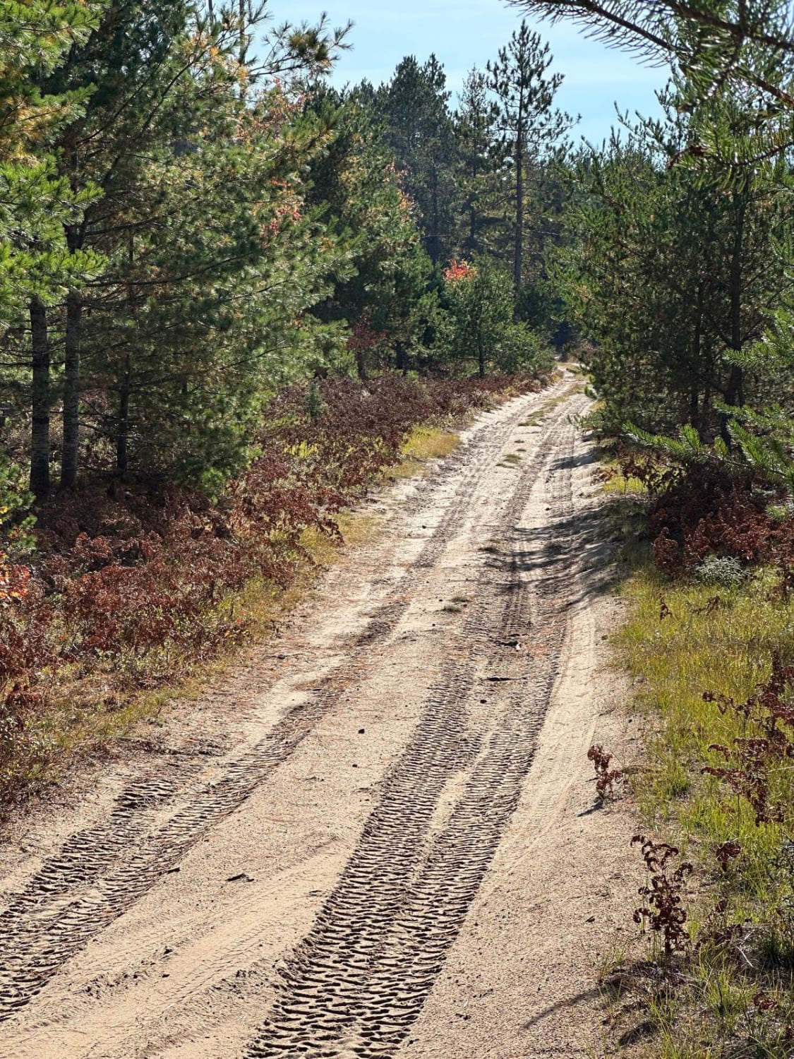
Caffey Truck Trail, also known as ORV Route AI, is a federally owned/ locally maintained, Level-2/ Level-3 forest road with a surface composition of dirt, sand, gravel, and native material. This route is currently open and in fair condition; it is a portion of a DNR route, known as ORV Route Ai (ORV use is subject to local government regulations). It connects FS 3370 -Ozark Trail to the FS -2688 Dells Mills trail and the Hiawatha Trail while crossing over and traversing parallel to the South Branch Carp River and ending near the Graymont Rock Quarry near Caffey Corner. Description created on September 17, 2025.
Photos of Caffey Truck Trail (ORV Route AI)


Difficulty
Gravel, dirt, sandy road, unmaintained after rain or snow, that may give rise to shallow water crossings and obstacles under 12 inches on the trail, including small ledges. This road is typically one to two vehicles in width, with portions that narrow down to a "Two Track" road.
History
The Caffey Truck Trail is a scenic, gravel forest road near Rexton and Naubinway. It offers a quiet, straight-through route known for its history as a former logging road, mature forests, and wetland scenery, often used for OHV, ORV, and scenic driving. Caffey Corner was a bustling early 20th-century logging settlement. It was named for Civil War veteran and postmaster William N. Caffey, with a post office operating from 1899 to 1916. It serves as a junction for H-40 and is historically linked to the Minneapolis, St. Paul, and Sault Ste. Marie Railway.
Status Reports
Caffey Truck Trail (ORV Route AI) can be accessed by the following ride types:
- High-Clearance 4x4
- SUV
- SxS (60")
- ATV (50")
- Dirt Bike
Caffey Truck Trail (ORV Route AI) Map
Popular Trails

West Eden Mountain Road

Beaver Lake Trail

Russ - FS 3061
The onX Offroad Difference
onX Offroad combines trail photos, descriptions, difficulty ratings, width restrictions, seasonality, and more in a user-friendly interface. Available on all devices, with offline access and full compatibility with CarPlay and Android Auto. Discover what you’re missing today!