Cad Soo - FS 3150
Total Miles
16.1
Technical Rating
Best Time
Spring, Summer, Fall
Trail Type
Full-Width Road
Accessible By
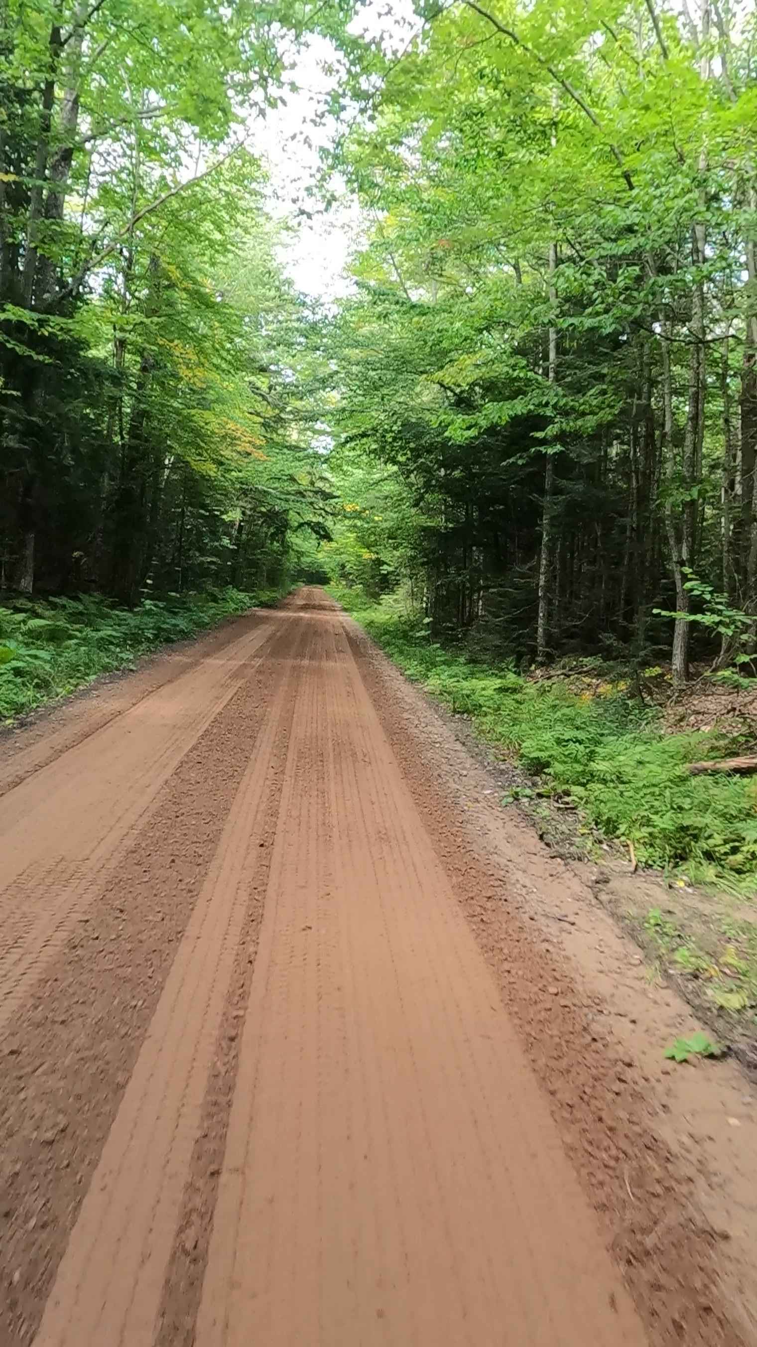
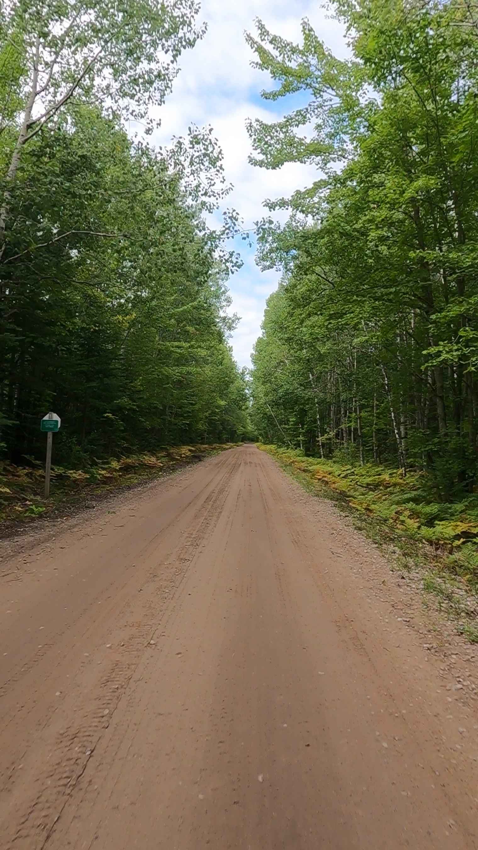
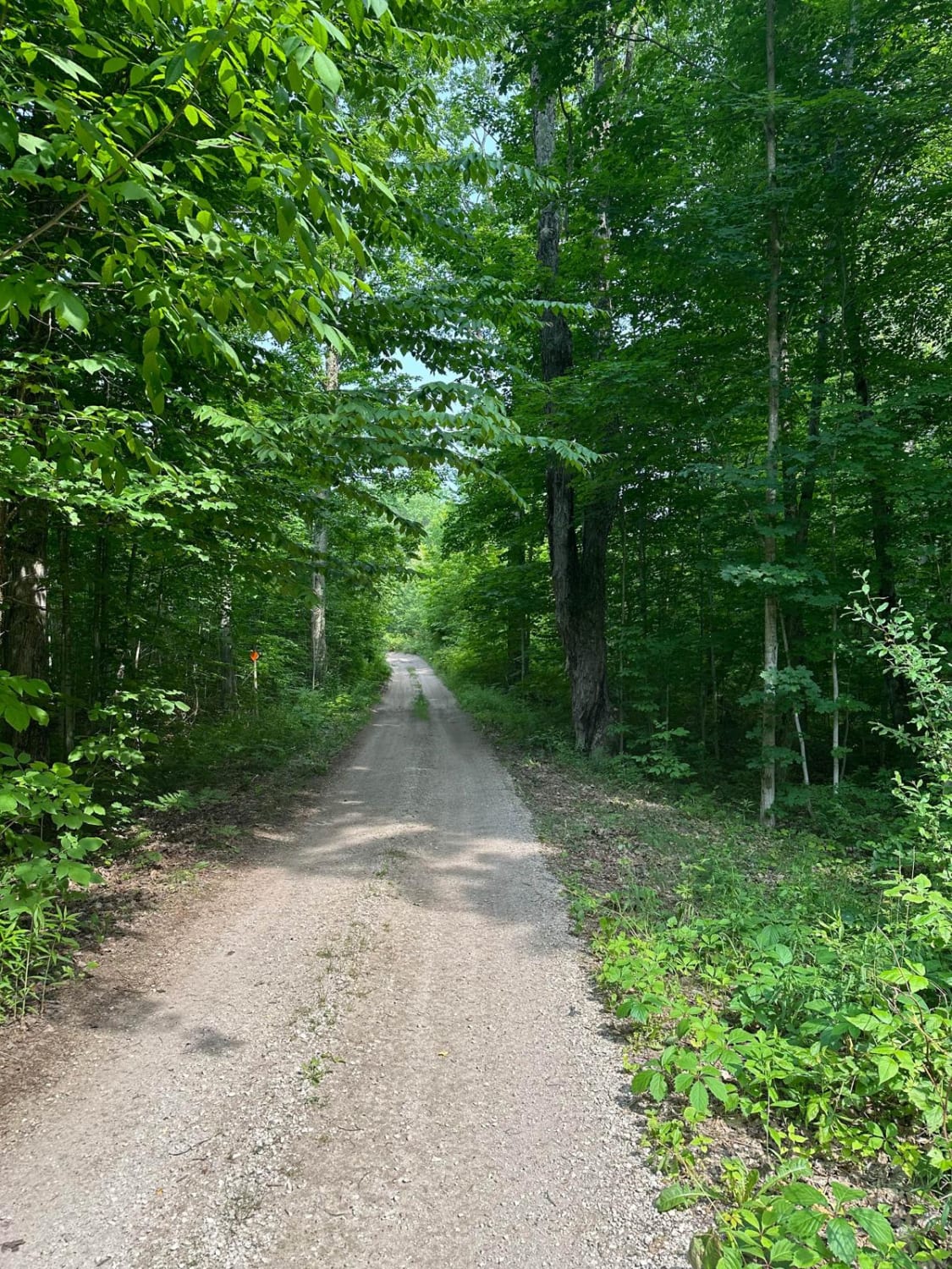
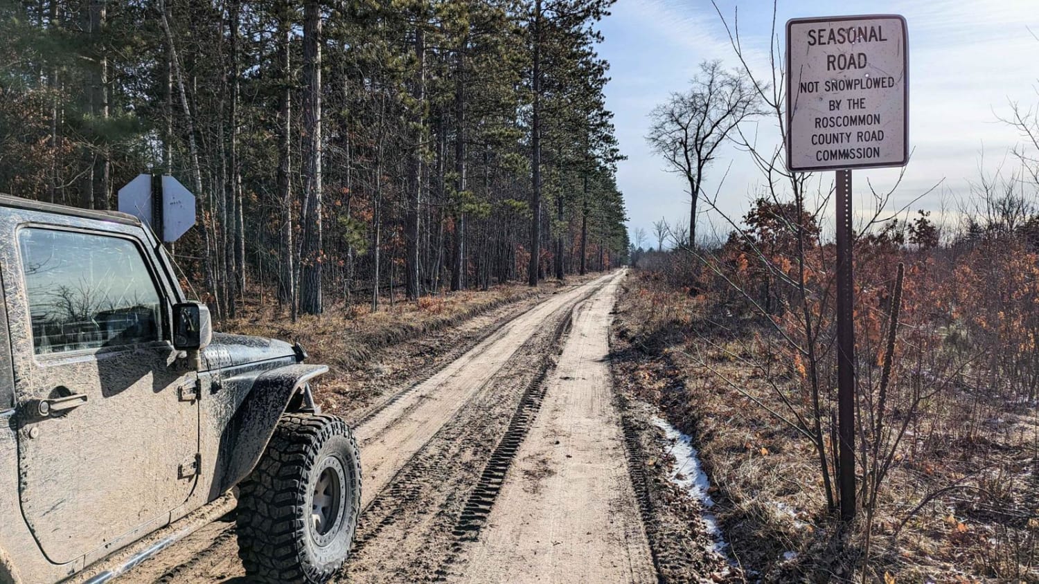
Trail Overview
Federal Forest Service Road 3150, also known as Cad Soo, is a federally owned/ locally maintained, Level-2/ Level-3 forest road with a surface composition of dirt, sand, gravel, and native material. This route is currently open and in fair condition; it is not a DNR road (ORV use is subject to local government regulations) and connects South Ranger Road to FS 3687, FS 3084, FS 3157, FS 3158, FS 3045, FS 3498, FS 3492, South Salt Point Road, FS 3150, FS 3160, and Lake Superior Shoreline Road. Description created on September 11, 2025.
Photos of Cad Soo - FS 3150
Difficulty
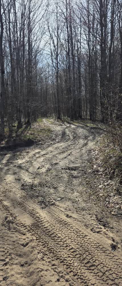
Dirt, gravel, and sand road with gentle grades. Safe for most 4WD and high-clearance 2WD vehicles. This road is typically two vehicles wide.
History
The Cad Soo road is the former Duluth, South Shore & Atlantic Railroad (DSS&A) grade, often associated with the "Soo" line system, established a vital transportation route through Brimley, Michigan, in the late 19th century, profoundly impacting the area's development. The rail line was central to the logging industry and connected Superior (later renamed Brimley) to Sault Ste. Marie. Key Historical Points of the Railroad in Brimley: Establishment (1870s-1890s): The town of Brimley was established as a station on the DSS&A in 1872. In January 1891, construction began on the specific stretch of the railroad from Brimley to Bay Mills. Renaming (1896): Originally called "Superior," the town was renamed Brimley in 1896 to avoid confusion with another "Superior" located near the other end of the same rail line. Infrastructure: A significant railroad bridge was constructed over the Waiska River in Brimley around 1914, which was originally 436 feet in length with nine spans. Industrial Use: The line was primarily used to transport timber from local logging camps, such as the Clemson camp, to mills in the eastern Upper Peninsula. The Cadillac Lumber Company and Richardson Avery Company utilized the route for logging operations, with specialized gear-driven locomotives capable of handling steep grades. Dismantling (1960s): The rail line became redundant following a merger between the DSS&A and the Soo Line Railroad. In 1963, the tracks between Brimley and Sault Ste. Marie were removed at a rate of roughly one mile per day. Legacy: In 1963, a 104.5-foot section of the Waiska River bridge was moved to Lake Bronson, Minnesota. Today, remnants of the railroad grade can still be found, including near the 6 Mile Road area. The "Wheels of History" museum in Brimley showcases this railroad heritage.
Status Reports
Cad Soo - FS 3150 can be accessed by the following ride types:
- High-Clearance 4x4
- SUV
- SxS (60")
- ATV (50")
- Dirt Bike
Cad Soo - FS 3150 Map
Popular Trails
Betsie Valley Bypass/391
Fiel Road Crossing

Matchett Trail
The onX Offroad Difference
onX Offroad combines trail photos, descriptions, difficulty ratings, width restrictions, seasonality, and more in a user-friendly interface. Available on all devices, with offline access and full compatibility with CarPlay and Android Auto. Discover what you’re missing today!