Buckley - Dubbonet Connector
Total Miles
1.1
Technical Rating
Best Time
Spring, Summer, Fall
Trail Type
Full-Width Road
Accessible By
Trail Overview
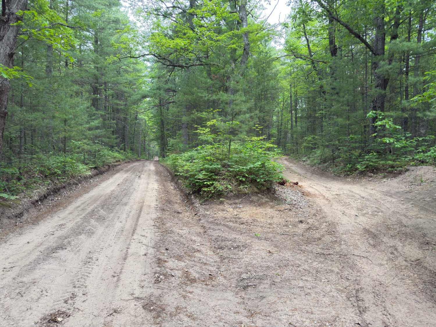
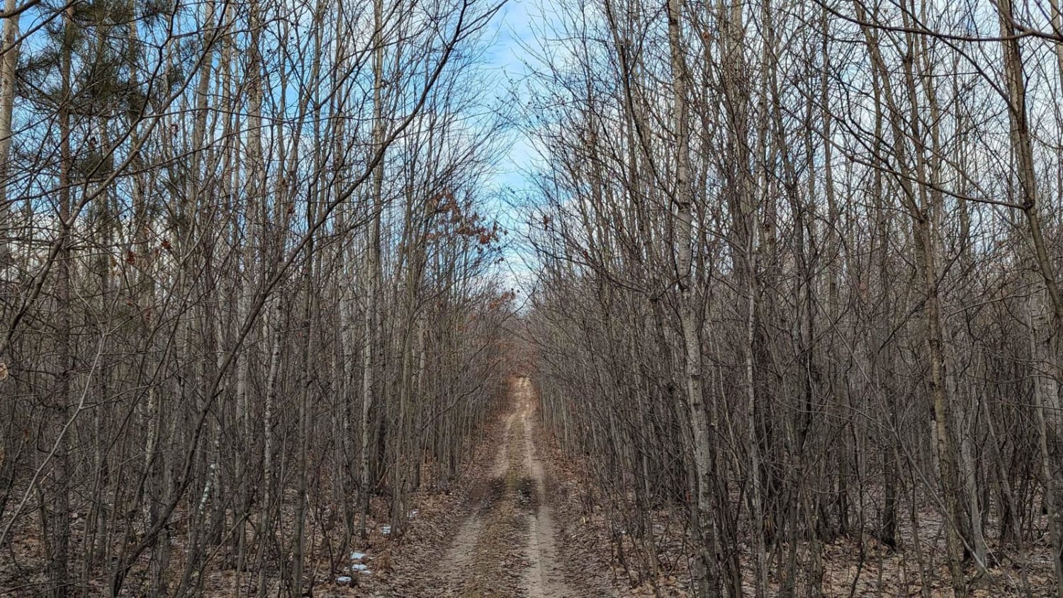
This trail connects the end of Buckley Rd to the Lake Dubonnet Trail, running along the north side of Lake Dubbonet. It is a single vehicle wide with a packed dirt surface. The roadway is relatively clear without any significant obstacles. Toward the north end of the trail, it will split into two sections - either way will get you to Lake Dubbonet Trail. Be careful of cyclists, runners, and hikers using the several single-track trails that snake through this area.
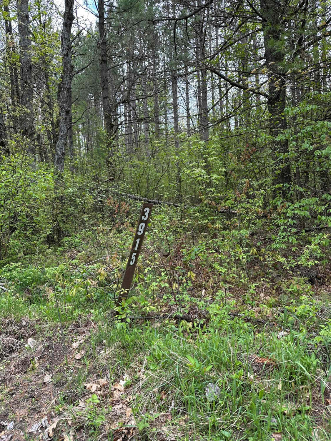
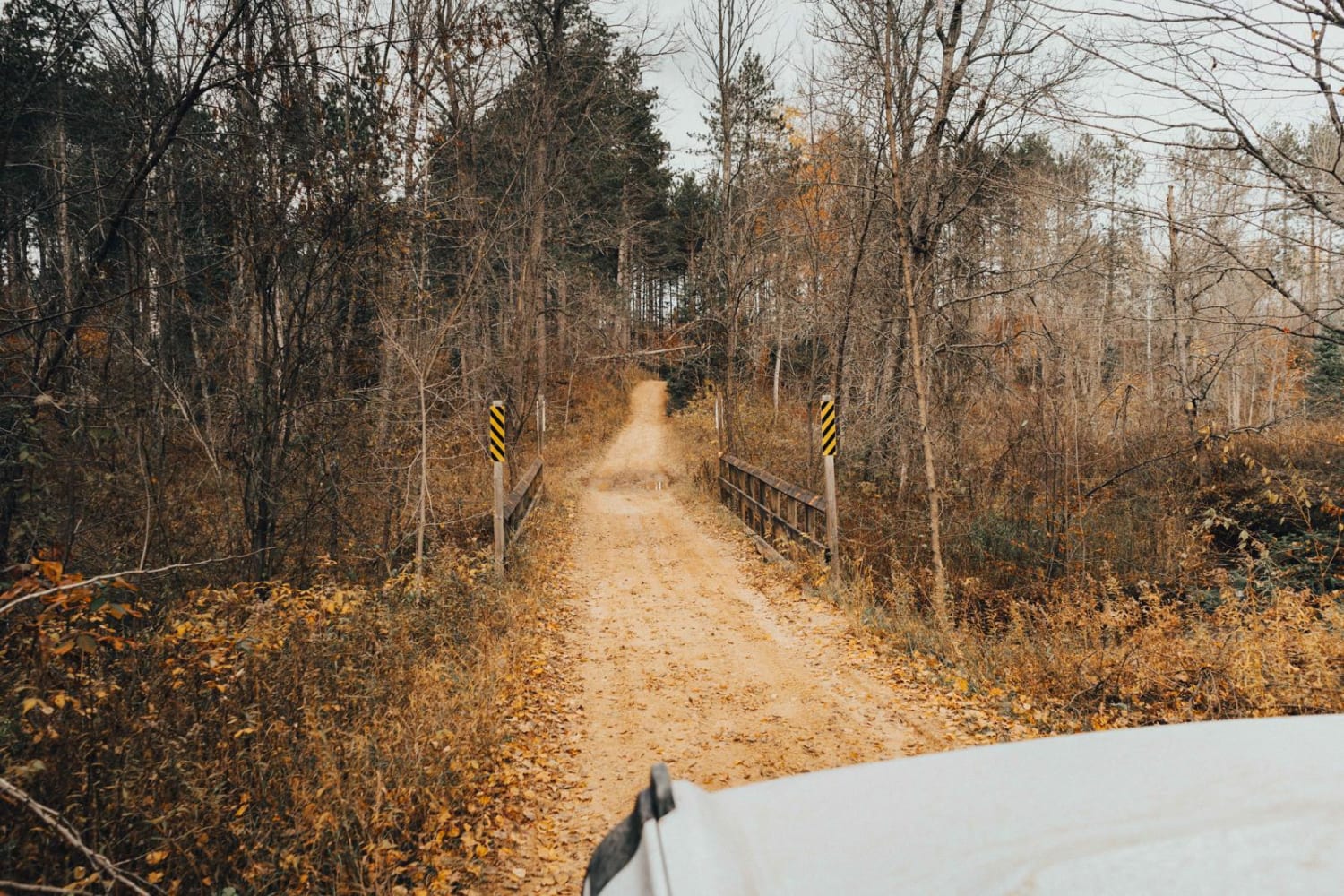
Photos of Buckley - Dubbonet Connector

Difficulty
The trail is typical pack dirt. It is a single vehicle wide and does not contain any significant obstacles.
Status Reports
Buckley - Dubbonet Connector can be accessed by the following ride types:
- High-Clearance 4x4
- SUV
- SxS (60")
- ATV (50")
- Dirt Bike
Buckley - Dubbonet Connector Map
Popular Trails
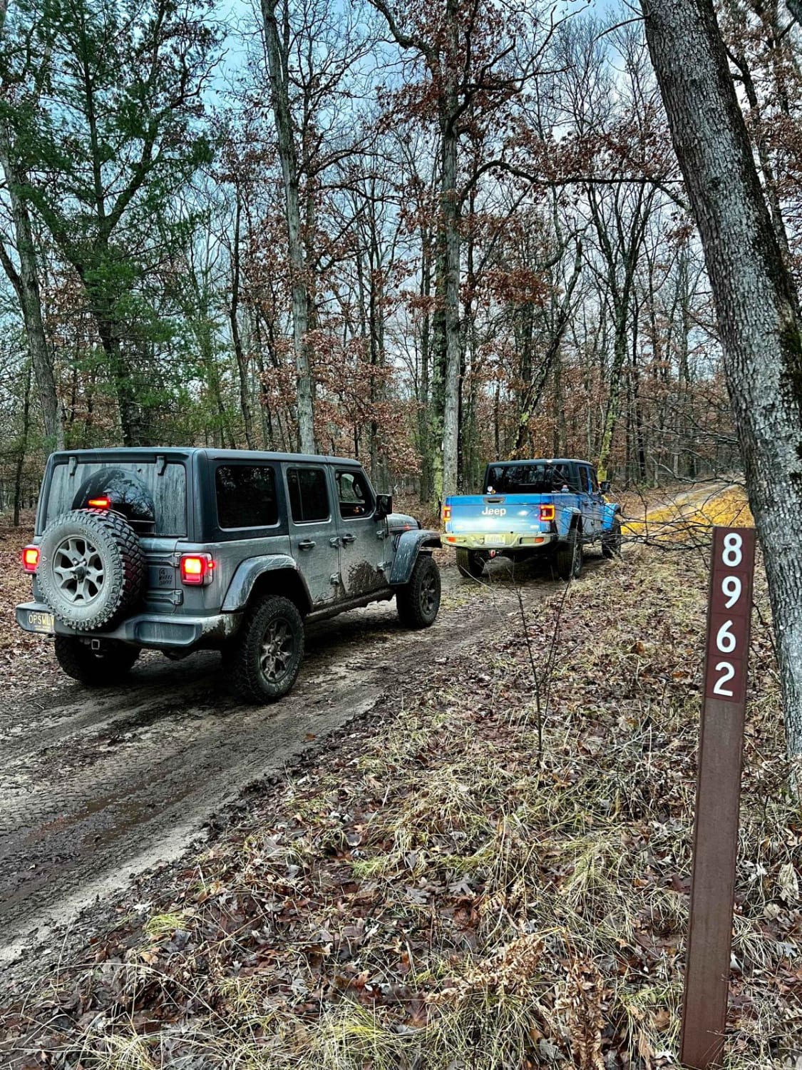
NFS 8962 (Access Road)
Cedar River Run
Washburn Trail
The onX Offroad Difference
onX Offroad combines trail photos, descriptions, difficulty ratings, width restrictions, seasonality, and more in a user-friendly interface. Available on all devices, with offline access and full compatibility with CarPlay and Android Auto. Discover what you’re missing today!