Adams Trail
Total Miles
12.0
Technical Rating
Best Time
Spring, Summer, Fall
Trail Type
Full-Width Road
Accessible By
Trail Overview
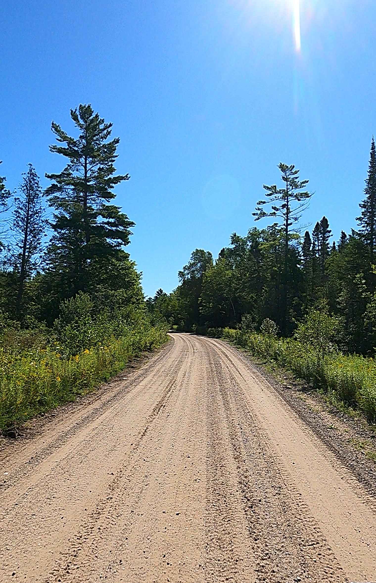
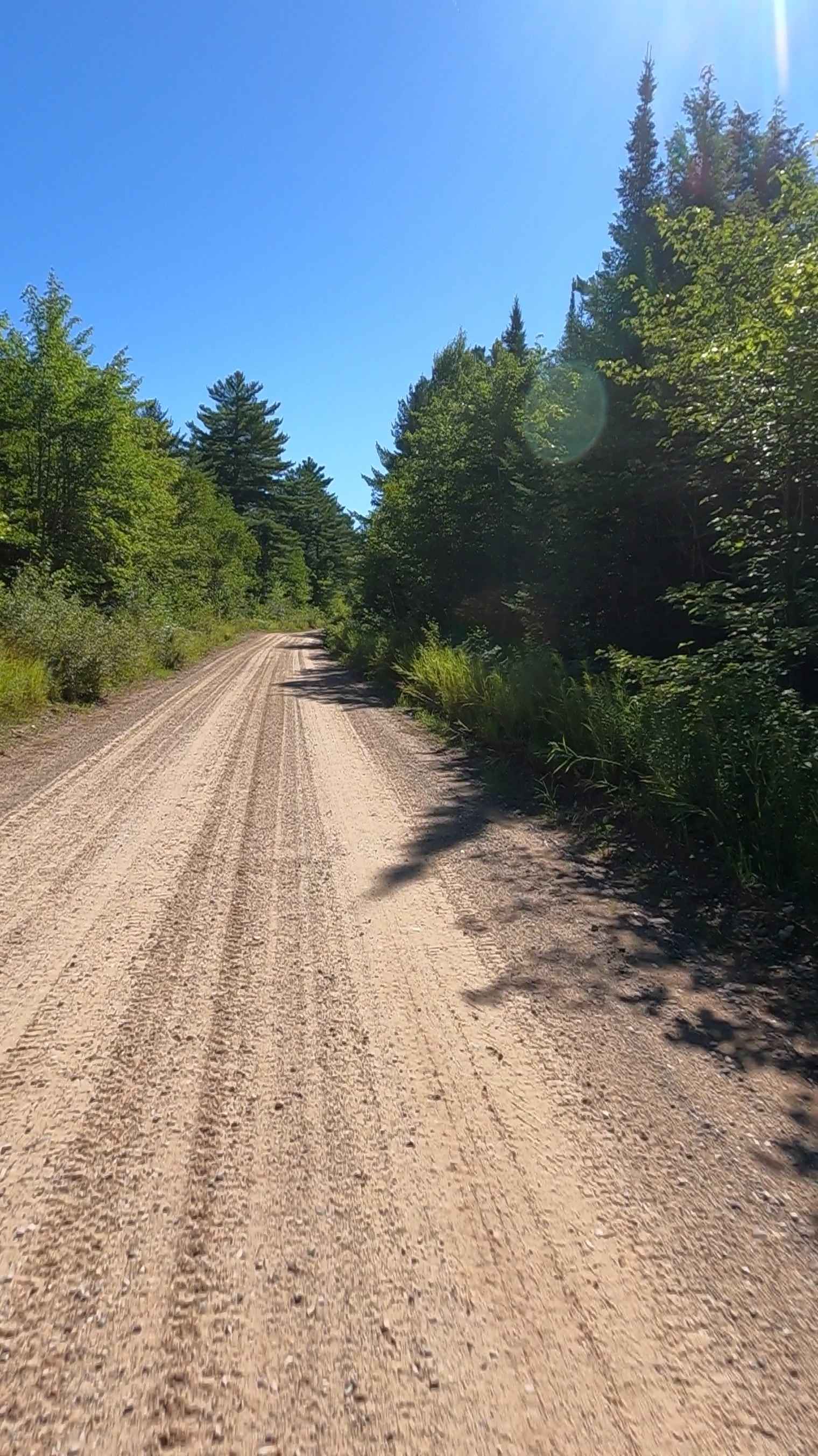
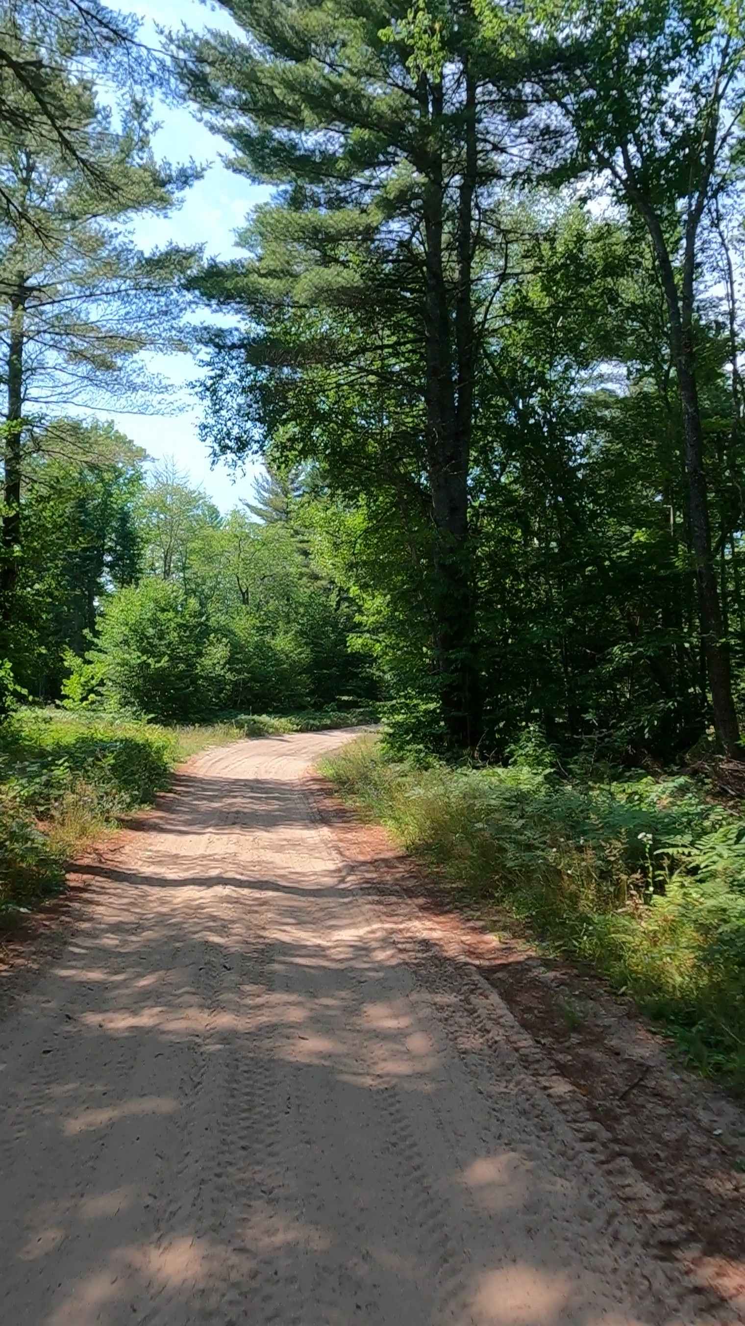
Adams Trail is a non-DNR road with an unspecified owner. The surface of the trail is gravel, and its overall condition is considered fair. Since it is not a DNR road, ORV use is subject to local government laws. The trail remains open under current closure criteria. This trail was originally created as an access route for timber resource management in the region, reflecting the intensive industrial activity that characterized Grand Marais during its peak. It is an old-fashioned "paved road" consisting of maintained gravel, dirt, and sand.
Photos of Adams Trail
Difficulty
Gravel road with gentle grades. Safe for most 4WD and high-clearance 2WD vehicles. Roads is two vehicles in width.
History
The Adams Trail in Grand Marais, Michigan, is a remnant of the extensive logging era, leading to the Kingston Plains, which was once part of a large logging operation where a long-forgotten timber baron's land was cleared for lumber. The trail offers access to the Kingston Plains, a significant area of old logging land just southwest of the area's now-famous log slide, providing a historical glimpse into the region's timber-dependent past. Historical Context: Logging Boom: Grand Marais experienced a significant population boom between the 1880s and 1910s due to the lumber industry. Kingston Plains: This area was once vast logging land that was heavily exploited during the timber boom. The Trail's Purpose: The Adams Trail was likely created to access and manage the timber resources in this region, reflecting the intensive industrial activity that characterized Grand Marais during its peak. Experiencing the Adams Trail. Location: The Adams Trail is located near the log slide, southwest of Grand Marais. The Turn: A small branch in the road, which is the Adams Trail, will take you to the Kingston Plains. Kingston Plains: This unique area provides a stark visual contrast to the surrounding National Lakeshore and offers a look at what the landscape looked like after the dense forests were cleared for timber.
Status Reports
Adams Trail can be accessed by the following ride types:
- High-Clearance 4x4
- SUV
- SxS (60")
- ATV (50")
- Dirt Bike
Adams Trail Map
Popular Trails
Forest Road 9381
FS 2276 Part 3

Pine Row Trail
Camp Truck Trail/ Tower Road
The onX Offroad Difference
onX Offroad combines trail photos, descriptions, difficulty ratings, width restrictions, seasonality, and more in a user-friendly interface. Available on all devices, with offline access and full compatibility with CarPlay and Android Auto. Discover what you’re missing today!