13317
Total Miles
2.7
Technical Rating
Best Time
Spring, Summer, Fall
Trail Type
Full-Width Road
Accessible By
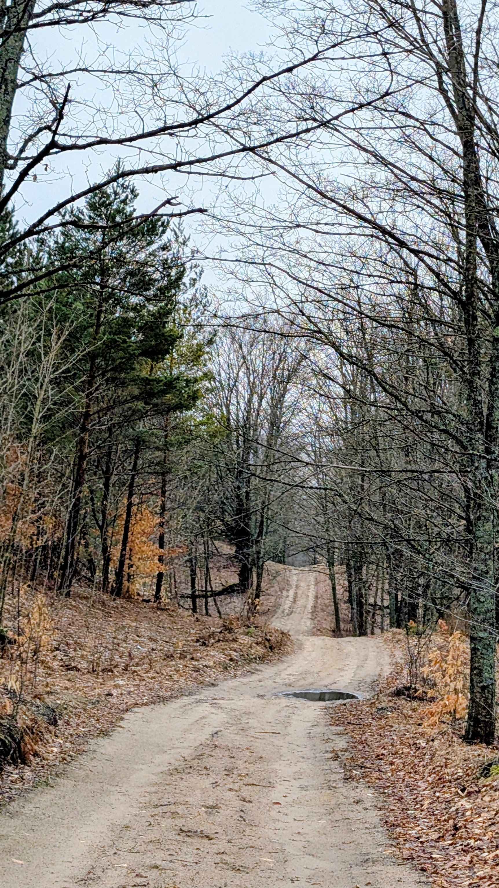
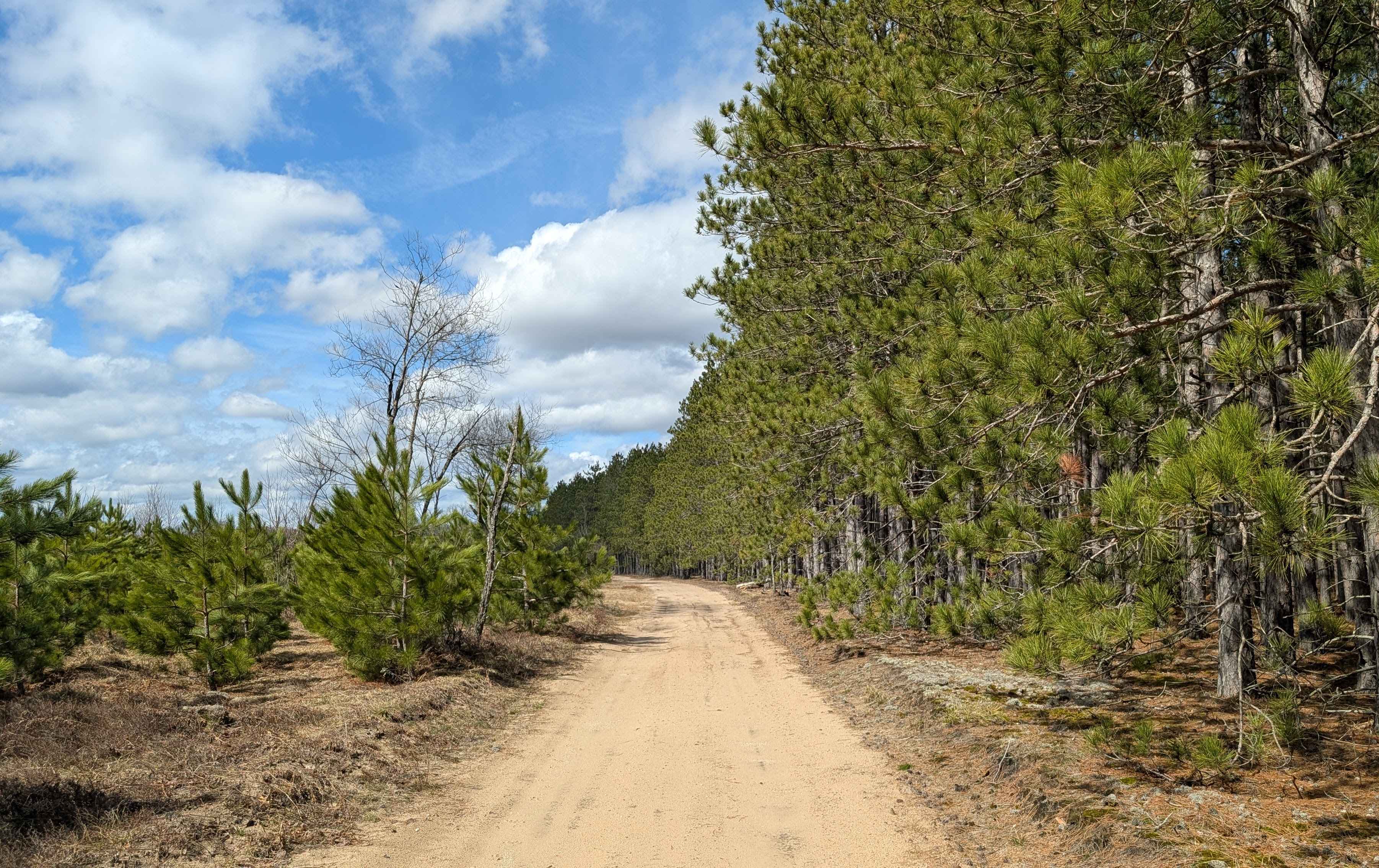
Trail Overview
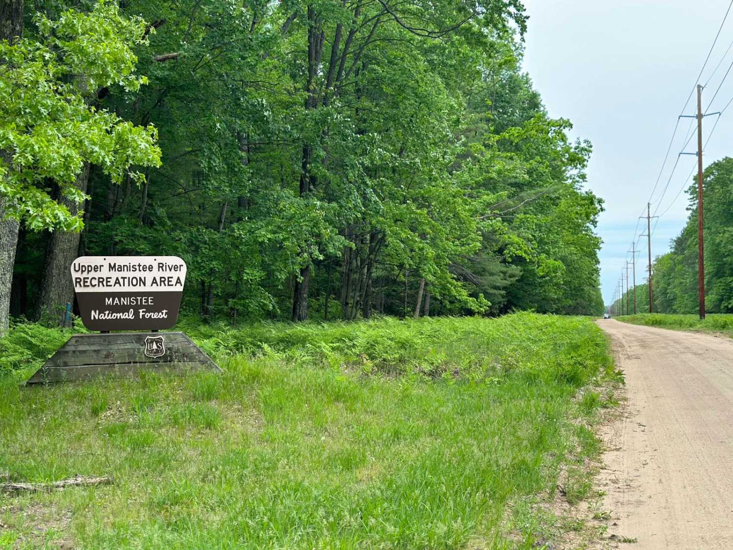
The start of this trail can be found off North Morey Road. It's less than 3 miles long and ends at a nice dispersed camping area along the high bank of the Manistee River. The trail is a nice, windy, sandy track with little elevation change. There are many dispersed camping spots in the area. So if this one is in use, explore the area for others nearby. During the winter months, this trail is a snowmobile route. See the Michigan DNR Where to ride website for clarification as to when it is open to all traffic or just snowmobiles.
Photos of 13317
Difficulty
This is a sandy two track with little elevation change.
Status Reports
13317 can be accessed by the following ride types:
- High-Clearance 4x4
- SUV
- SxS (60")
- ATV (50")
- Dirt Bike
13317 Map
Popular Trails

Sand Lake Road - FS 4436
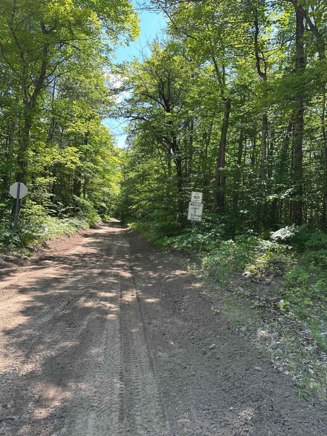
County Road 421 North

Back Country Route to Crisp Point Lighthouse
The onX Offroad Difference
onX Offroad combines trail photos, descriptions, difficulty ratings, width restrictions, seasonality, and more in a user-friendly interface. Available on all devices, with offline access and full compatibility with CarPlay and Android Auto. Discover what you’re missing today!