Powell/Stearns Road
Total Miles
1.0
Technical Rating
Best Time
Spring, Summer, Fall, Winter
Trail Type
Full-Width Road
Accessible By
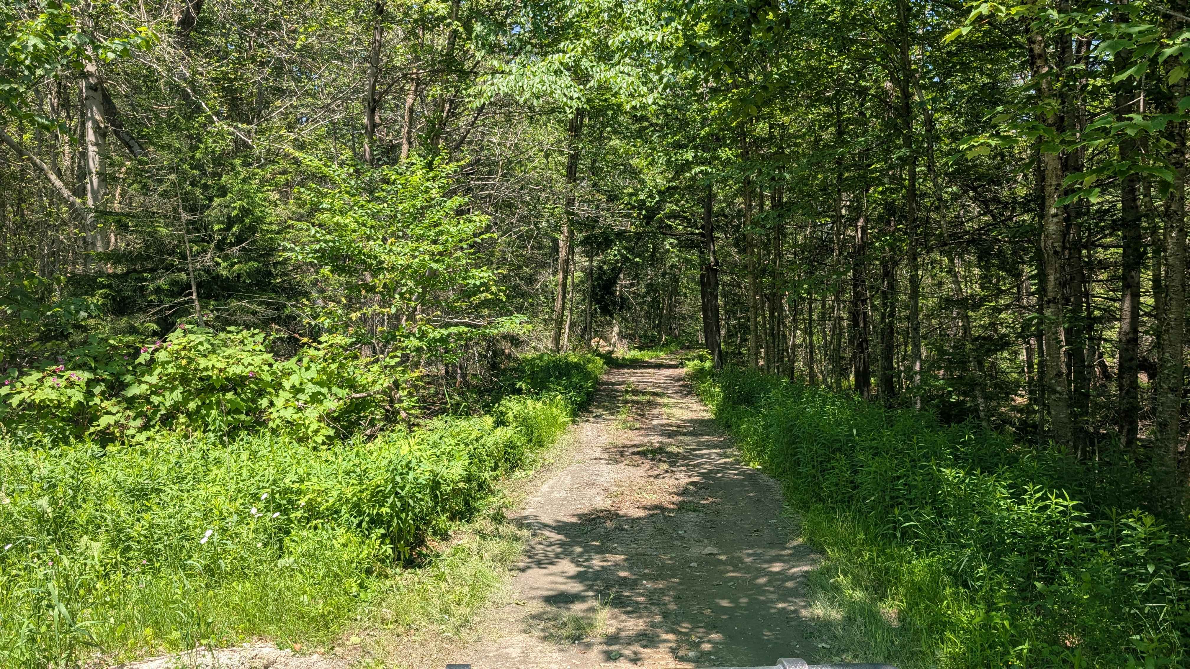
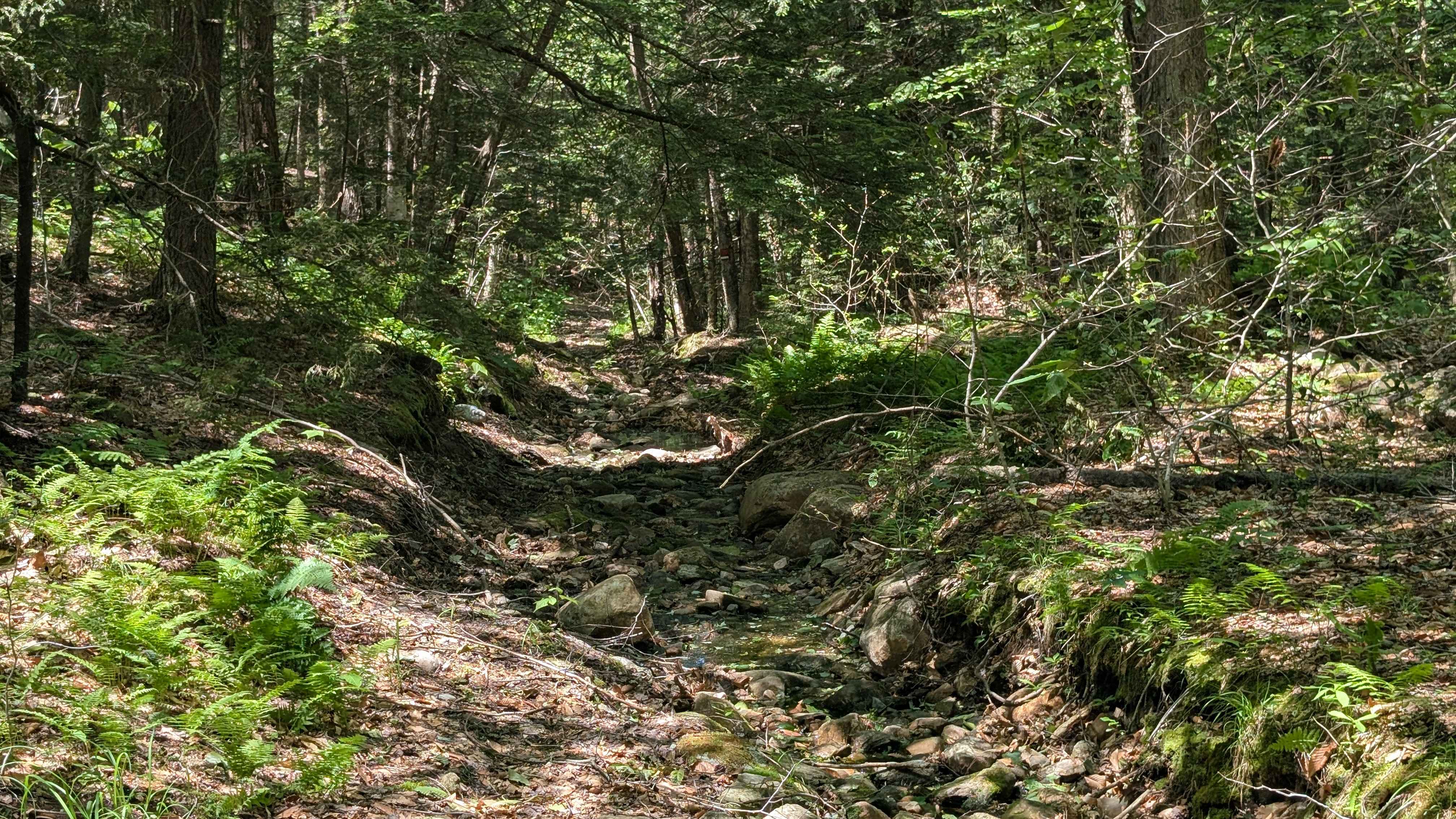
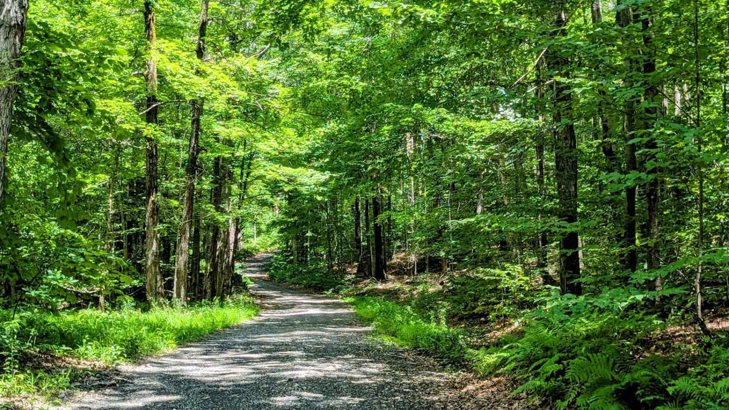
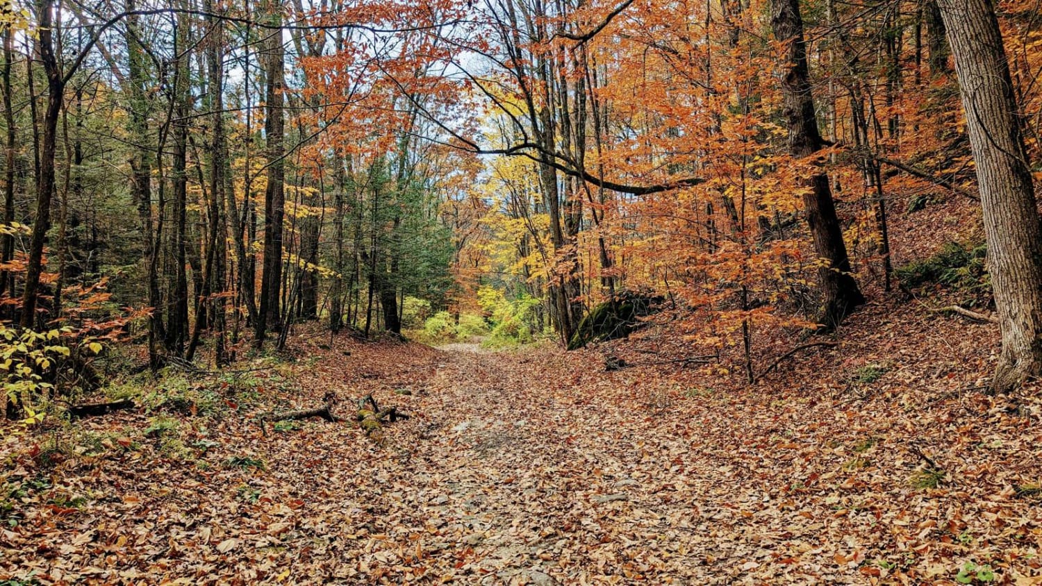
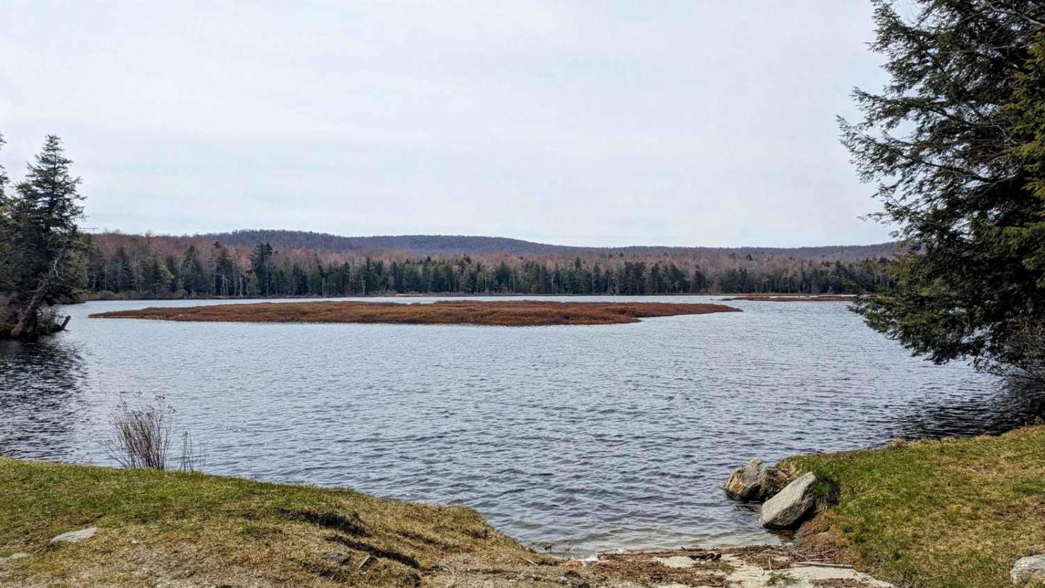
Trail Overview
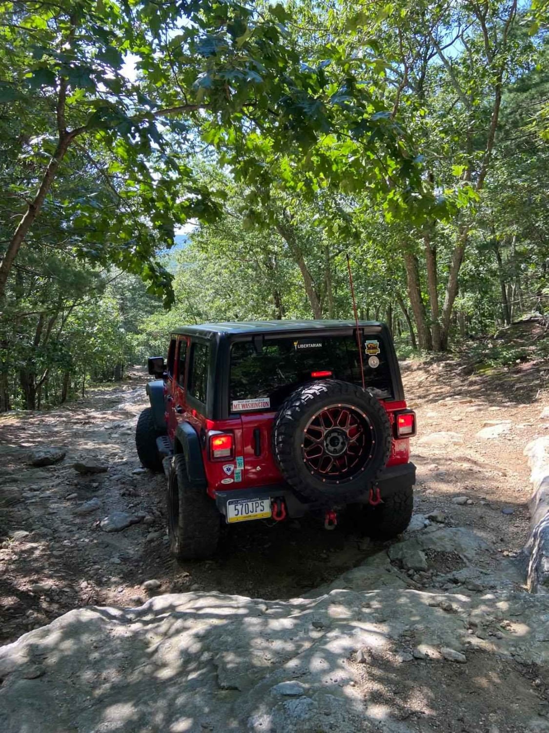
From the east, this road begins in Cummington, MA and heads west down a slight but rocky incline, into the Berkshire County town of Windsor where it is named Stearns Road. Mass DOT lists the road as in "intolerable" condition, and for most vehicles, this is spot on. Hardwood forests surround this serene trail.
Photos of Powell/Stearns Road
Difficulty
Numerous rocks up to 12inches litter this long-abandoned road.
Status Reports
Powell/Stearns Road can be accessed by the following ride types:
- High-Clearance 4x4
- SUV
Powell/Stearns Road Map
Popular Trails
Washington Mountain Road
Savoy Road/New State Road
The onX Offroad Difference
onX Offroad combines trail photos, descriptions, difficulty ratings, width restrictions, seasonality, and more in a user-friendly interface. Available on all devices, with offline access and full compatibility with CarPlay and Android Auto. Discover what you’re missing today!