
Off-Road Trails in Maryland
Discover off-road trails in Maryland
Off-Road Trails in Maryland
Discover the best off-road trails in Maryland. Browse trail maps, check difficulty ratings, and find your next adventure — whether you're looking for a quick ride or an all-day expedition.
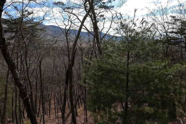
Stoney Run
Stoney Run (WV61) is a dirt and gravel road that more or less runs parallel to the trail to Reddish Knob. The trail is sufficiently wide enough for two vehicles to pass each other, and can easily be run in 2WD. The trail begins at county route 32 and descends into a valley before eventually ascendin...
Learn more about Stoney Run
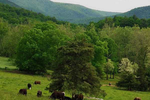
Westside Road
Westside Road travels along the western slope of Shenandoah mountain in WV. Be respectful while travelling through private property, from WV Co Route 34 to the National Forest boundary. The route is generally dirt with crushed stone in high erosion areas with some exposed natural rock. The route inc...
Learn more about Westside Road
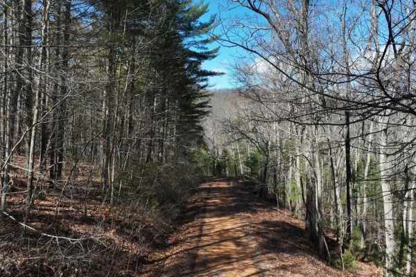
Archer Run
Archer Run is a basic trail in Virginia's George Washington National Forest. It is mainly a dirt road, with some areas of minor rockiness. It meanders through the mountains of western Virginia, offering good views of the surrounding ridge lines and valleys. The trail has several switchbacks, which b...
Learn more about Archer Run
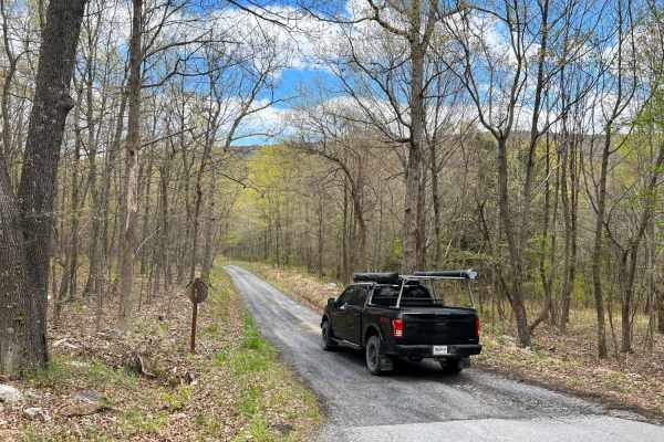
Vances Cove
Vances Cove trail is a meandering gravel road starting at Cold Spring Gap. Descending into the valley along cold spring creek. The road can become washed out in some areas after heavy rain, as the trail so closely follows it. Tight and narrow, the trail winds down to an intersection at Vances Cove, ...
Learn more about Vances Cove
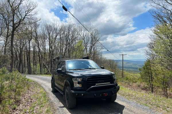
Dry Gap Ridge
Dry Gap Ridge is a scenic, short out-and-back trail along the Virginia and West Virginia border, perfect for offroaders seeking quick, sweeping ridge views and a mild climb. Spanning approximately 1.5 miles, this route climbs to a maximum elevation of 2,413 feet along a prominent ridge leading to a ...
Learn more about Dry Gap Ridge
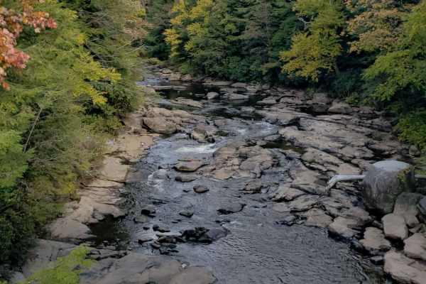
Canaan Loop
Canaan Loop is a 2 way trail passing through the Monongahela National Forest entering or exiting from either WV 32 or Black Water Falls State Park. A mix of dense rhododendron, evergreen, and hardwood foliage encroaches on the trail throughout the section closest to the state park. There are several...
Learn more about Canaan Loop
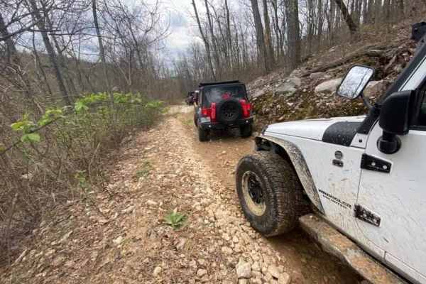
Peters Mill Run OHV Trail
Peters Mill Run is a beginner-friendly, 8.4-mile point-to-point offroad trail near Fort Valley, Virginia, offering stock four-wheel-drive vehicles, SxSs, and ATVs an accessible mountain driving experience. As a designated Jeep Badge of Honor trail within the George Washington and Jefferson National ...
Learn more about Peters Mill Run OHV Trail
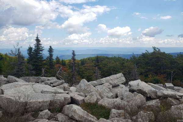
The Road Across The Sky
The Road Across The Sky is an incredibly scenic, high-altitude drive perfect for overlanders, campers, and outdoor enthusiasts of all skill levels looking to explore the windswept plains of the Dolly Sods Wilderness. Spanning approximately 15.3 miles across the Monongahela National Forest, this well...
Learn more about The Road Across The Sky
Little North Mountain WMA
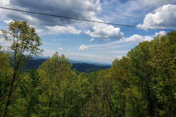
Little North Mountain WMA has a mix of seasonally open routes that all dead-end eventually. This route includes a scenic, lightly maintained state road to access the area. The roads are marginally maintained gravel with some small mud holes and stream crossings. Be aware that all Virginia WMAs requi...
Learn more about Little North Mountain WMA

Union Springs
This is the most difficult of several options to reach Flag Pole Knob. The route is generally only one vehicle wide, with dense foliage in the warmer months. There are also several rain-dependent muddy areas and creek crossings. Numerous 12-18" rock steps going up and down are found along this route...
Learn more about Union Springs
Vepco Road
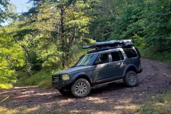
Vepco Road is an ideal route for intermediate offroaders looking for a scenic mountain traverse that combines easy cruising with moderately challenging climbs along a power line corridor. Spanning approximately 12.1 miles through the George Washington National Forest, this trail climbs from a minimu...
Learn more about Vepco Road
Hite Hollow
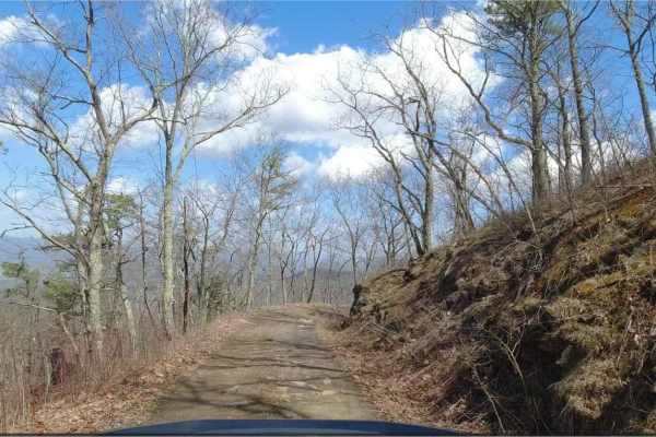
Hite Hollow is located in the George Washington National Forest, west of Staunton, VA. It's a basic trail that offers outstanding views of the surrounding area. The trail is mainly rock and dirt and has several switchbacks that take you up the ridge line. Many of these switchbacks offer stunning vie...
Learn more about Hite Hollow
Hawk
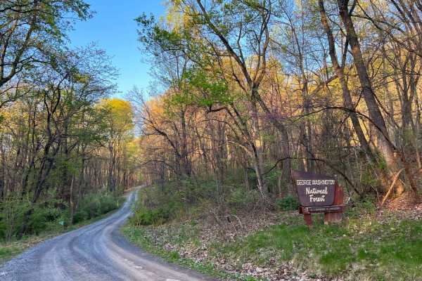
Hawk Run is a meandering forest road that crosses through some private property as it climbs Spring Mountain along the border of Virginia and West Virginia. The road is mostly gravel with some dirt and clay in good condition with a few potholes and washouts. It crests at an elevation of over 2,000ft...
Learn more about Hawk

Tillman
Tillman is an easy, scenic 5.5-mile forest road in George Washington National Forest, perfect for beginners, passenger vehicles, and those seeking quick access to prime Appalachian outdoor recreation. This well-maintained gravel route, also known as Forest Road 101, winds through a lush mountain lan...
Learn more about Tillman
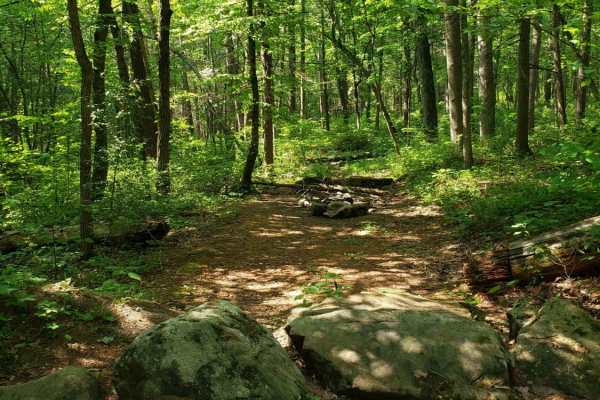
Cub Run
Maintained gravel forest service road. This route includes numerous hiking trailheads. The southern portion of the route has very spotty cell service, which improves in the northern portion. The northern portion includes many dispersed camping areas located along a small creek. The route is well-tra...
Learn more about Cub Run
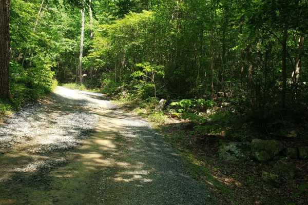
Emerald Pond
Dead end route to a mountain pond. This route gradually climbs the mountain and ends at multiple locked gates. The route has some exposed base stone and muddy sections but generally maintained gravel forest service route. The route follows a creek with several dispersed camping areas along the creek...
Learn more about Emerald Pond

Hone Quarry
Hone Quarry recreation area is a dead end trail passing by a reservoir. The trail starts paved from the state highway passing by day use picnic areas and a pay campground with amenities. The trail continues to the reservoir with fishing and kayaking opportunities. After passing the reservoir the tra...
Learn more about Hone Quarry
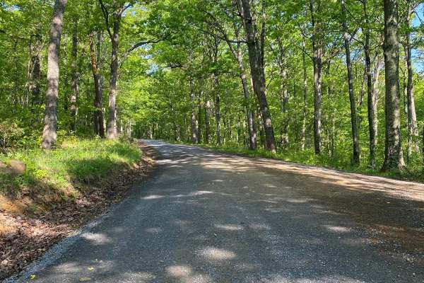
Edinburg Gap
Edinburg Gap is a minimally maintained Forest Service Road located in the George Washington National Forest. The road is one vehicle wide with plenty of space to pass and can be accessed by either end. The road passes through one shallow stream and an area of rockier terrain but is still accessible ...
Learn more about Edinburg Gap
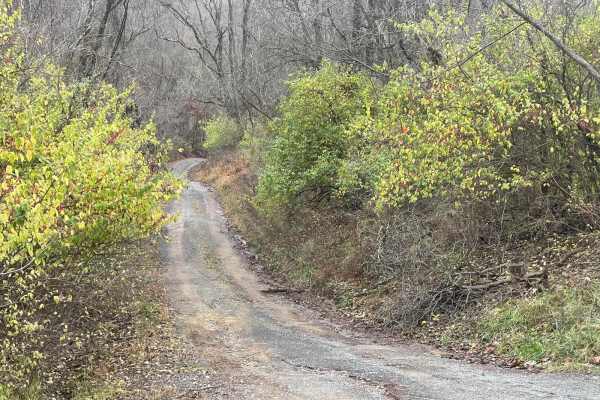
Green Ridge Karl to Creek Crossings
This trail starts out on the ridge and drops down a steep incline and down the trail into several creek crossings. Then around sweeping turns to an uphill path. There are some abandoned buildings at the top of the next ridge. It is a great road washed out from some of the rain and it has awesome vis...
Learn more about Green Ridge Karl to Creek Crossings
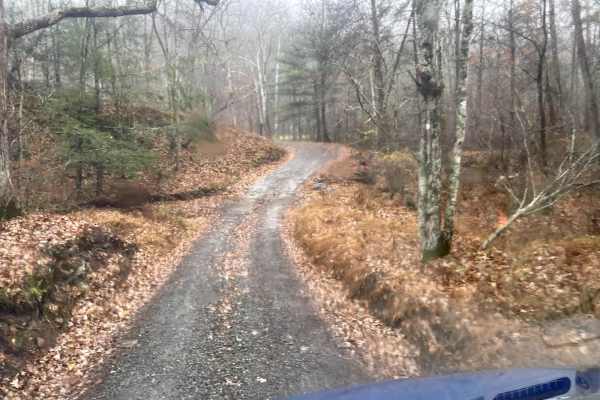
MD Green Ridge to Gorge Trail
This is a wide, freshly graded gravel road with massive incline changes. Portions of the trail can be steep at times. As you follow the gorge, you will pass the camp spots along the river. There are beautiful overlooks and multiple creekside camp spots. It is not recommended doing this trail in wint...
Learn more about MD Green Ridge to Gorge Trail
ATV trails in Maryland
Explore ATV-friendly trails in Maryland. These trails are accessible for vehicles up to 50 inches wide, perfect for ATVs and smaller off-road machines.
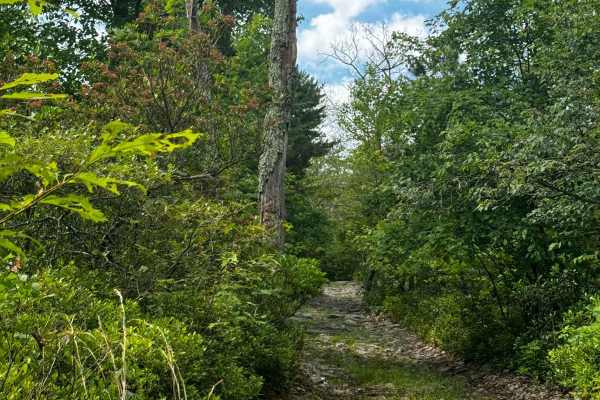
Walters Gap
This is one of the 4 trails that is accessible by full-sized rigs within the Peters Mill OHV area. The trail is about a mile long and consists of a few hill climbs and a few very long rock gardens ranging in size from a few inches to no taller than a foot. One offshoot/optional obstacle does occur o...
Learn more about Walters Gap
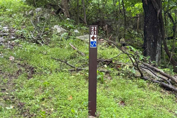
2101 Connector
Trail 2101 Connector is a blue trail located within the Potomac River Riding Area of Wolf Den Run State Park. The Potomac River is the southernmost of the three riding areas at Wolf Den Run. Potomac River has a good mix of green and blue, and black trails. It also has a slag pile playground. There a...
Learn more about 2101 Connector
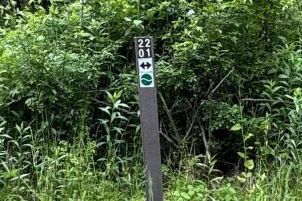
2201 Green
Trail 2201is a green loop trail located within the Potomac River Riding Area of Wolf Den Run State Park. The Potomac River is the southernmost of the three riding areas at Wolf Den Run. Potomac River has a good mix of green and blue, and black trails. It also has a slag pile playground. There are al...
Learn more about 2201 Green
2202 Connector
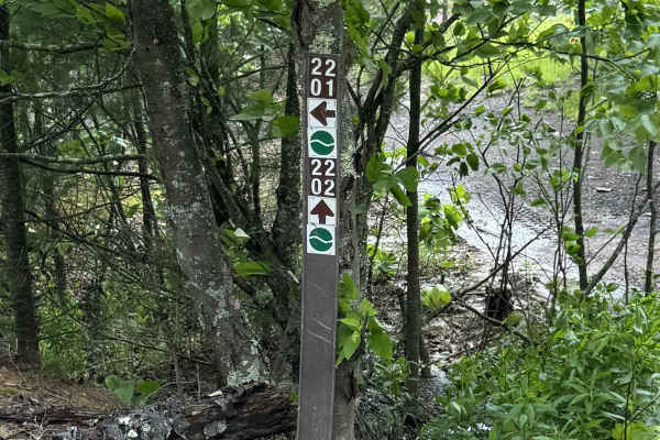
Trail 2202 Connector is a green trail located within the Potomac River Riding Area of Wolf Den Run State Park. The Potomac River is the southernmost of the three riding areas at Wolf Den Run. Potomac River has a good mix of green and blue, and black trails. It also has a slag pile playground. There ...
Learn more about 2202 Connector
UTV/side-by-side trails in Maryland
Find UTV and side-by-side trails in Maryland. These trails accommodate vehicles up to 60 inches wide, ideal for UTVs, side-by-sides, and wider off-road rigs.
FSR #85-2 Hall Spring Road
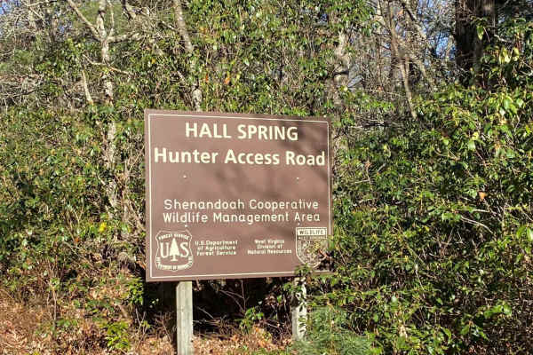
This route will take you along the side of the mountain with beautiful views of Appalachia. This trail feels like an East Coast shelf road since it is mainly single track with only a few places to pass oncoming vehicles. This road follows the WV-VA border and is only accessible 10/01-01/15.
Learn more about FSR #85-2 Hall Spring Road
Walters Gap
This is one of the 4 trails that is accessible by full-sized rigs within the Peters Mill OHV area. The trail is about a mile long and consists of a few hill climbs and a few very long rock gardens ranging in size from a few inches to no taller than a foot. One offshoot/optional obstacle does occur o...
Learn more about Walters Gap
2101 Connector
Trail 2101 Connector is a blue trail located within the Potomac River Riding Area of Wolf Den Run State Park. The Potomac River is the southernmost of the three riding areas at Wolf Den Run. Potomac River has a good mix of green and blue, and black trails. It also has a slag pile playground. There a...
Learn more about 2101 Connector
2201 Green
Trail 2201is a green loop trail located within the Potomac River Riding Area of Wolf Den Run State Park. The Potomac River is the southernmost of the three riding areas at Wolf Den Run. Potomac River has a good mix of green and blue, and black trails. It also has a slag pile playground. There are al...
Learn more about 2201 Green
The onX Offroad Difference
onX Offroad combines trail photos, descriptions, difficulty ratings, width restrictions, seasonality, and more in a user-friendly interface. Available on all devices, with offline access and full compatibility with CarPlay and Android Auto. Discover what you're missing today!
Open Trail Map