829 Road, Kisatchie NF
Total Miles
2.2
Technical Rating
Best Time
Spring, Summer, Fall, Winter
Trail Type
Full-Width Road
Accessible By
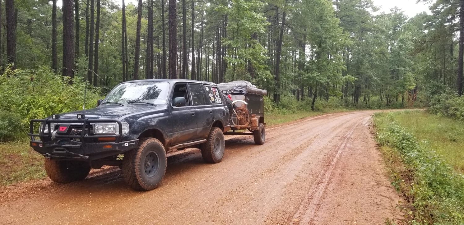
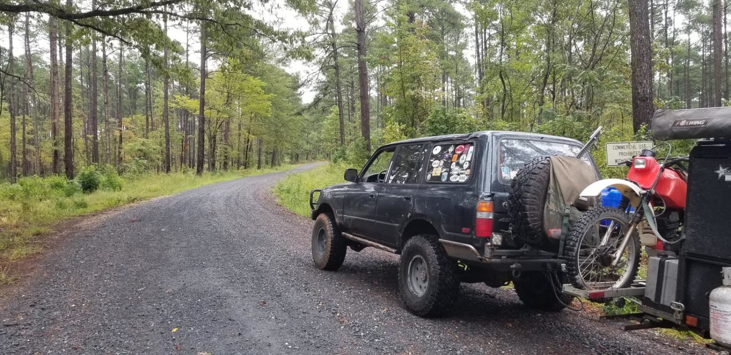
Trail Overview
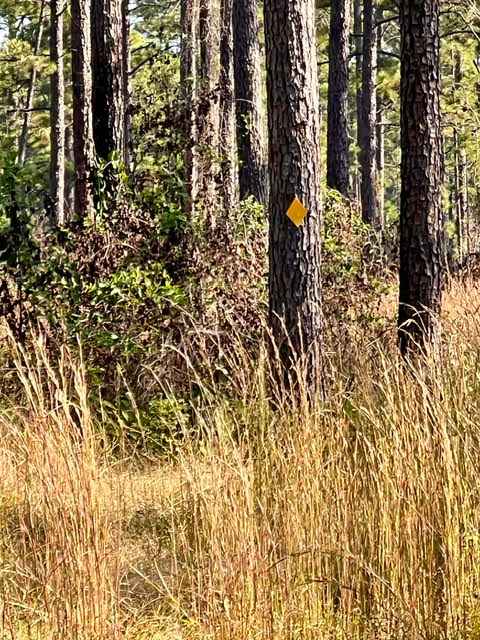
This is a basic fire road within Kisatchie National Forest. It involves rolling hills through the Louisiana landscape. Hidden around the area are lookout towers for fire detection, a relic from past land management in the area. This area of the Kisatchie has a number of private in-holdings as well as off-shoot roads to explore. The road is easily passable by any vehicle during normal conditions. During heavy rains, the road can get muddy and slick.
Photos of 829 Road, Kisatchie NF
Difficulty
Basic flat fire road.
Status Reports
829 Road, Kisatchie NF can be accessed by the following ride types:
- High-Clearance 4x4
- SUV
829 Road, Kisatchie NF Map
Popular Trails
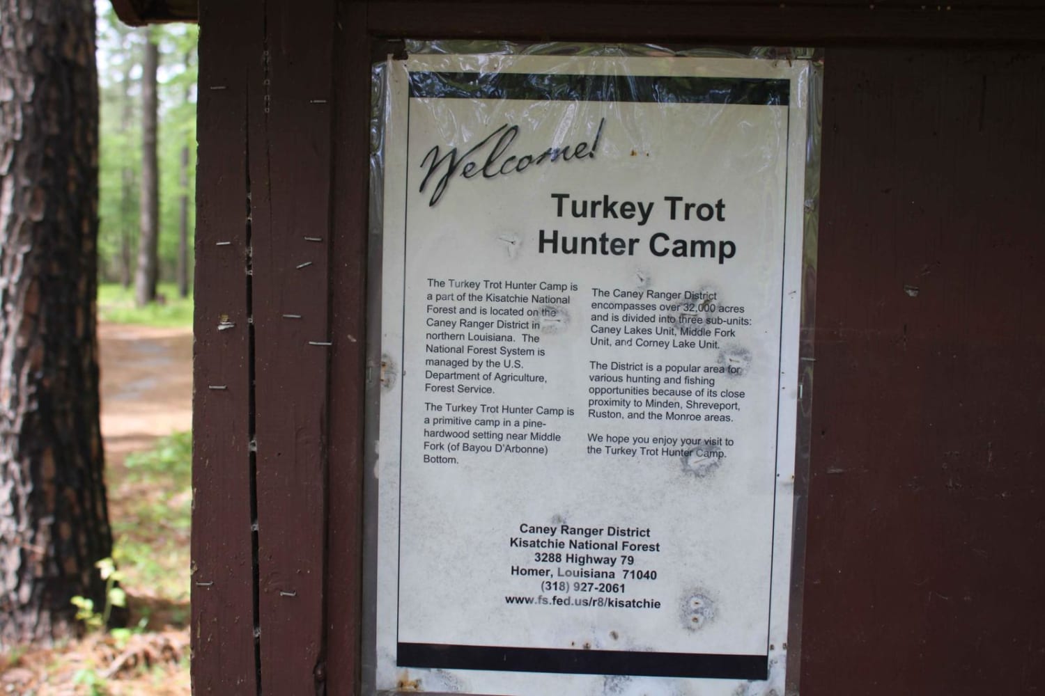
Turkey Trot in the Kisatchie

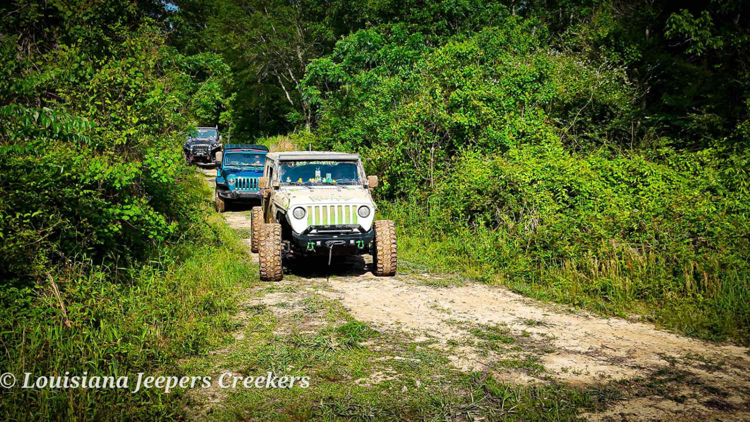
Creek Side
The onX Offroad Difference
onX Offroad combines trail photos, descriptions, difficulty ratings, width restrictions, seasonality, and more in a user-friendly interface. Available on all devices, with offline access and full compatibility with CarPlay and Android Auto. Discover what you’re missing today!