KAT Main 2 - Longbottom to River Road
Total Miles
5.6
Technical Rating
Best Time
Fall, Summer
Trail Type
High-Clearance 4x4 Trail
Accessible By
Trail Overview
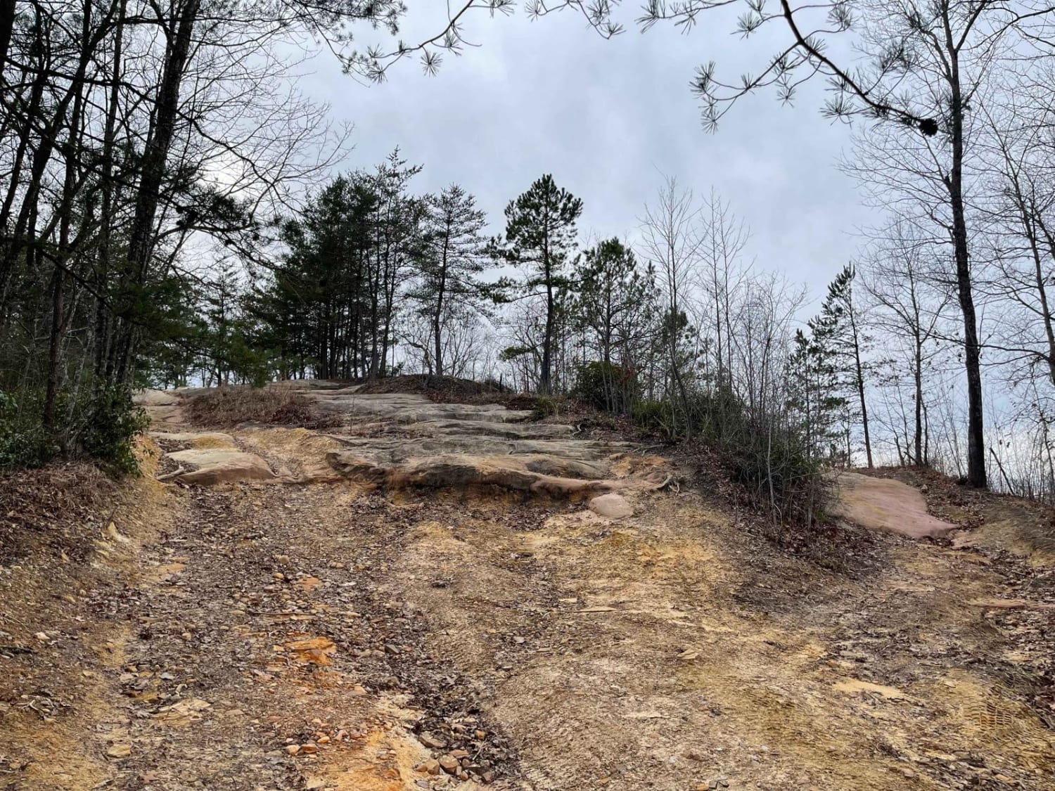
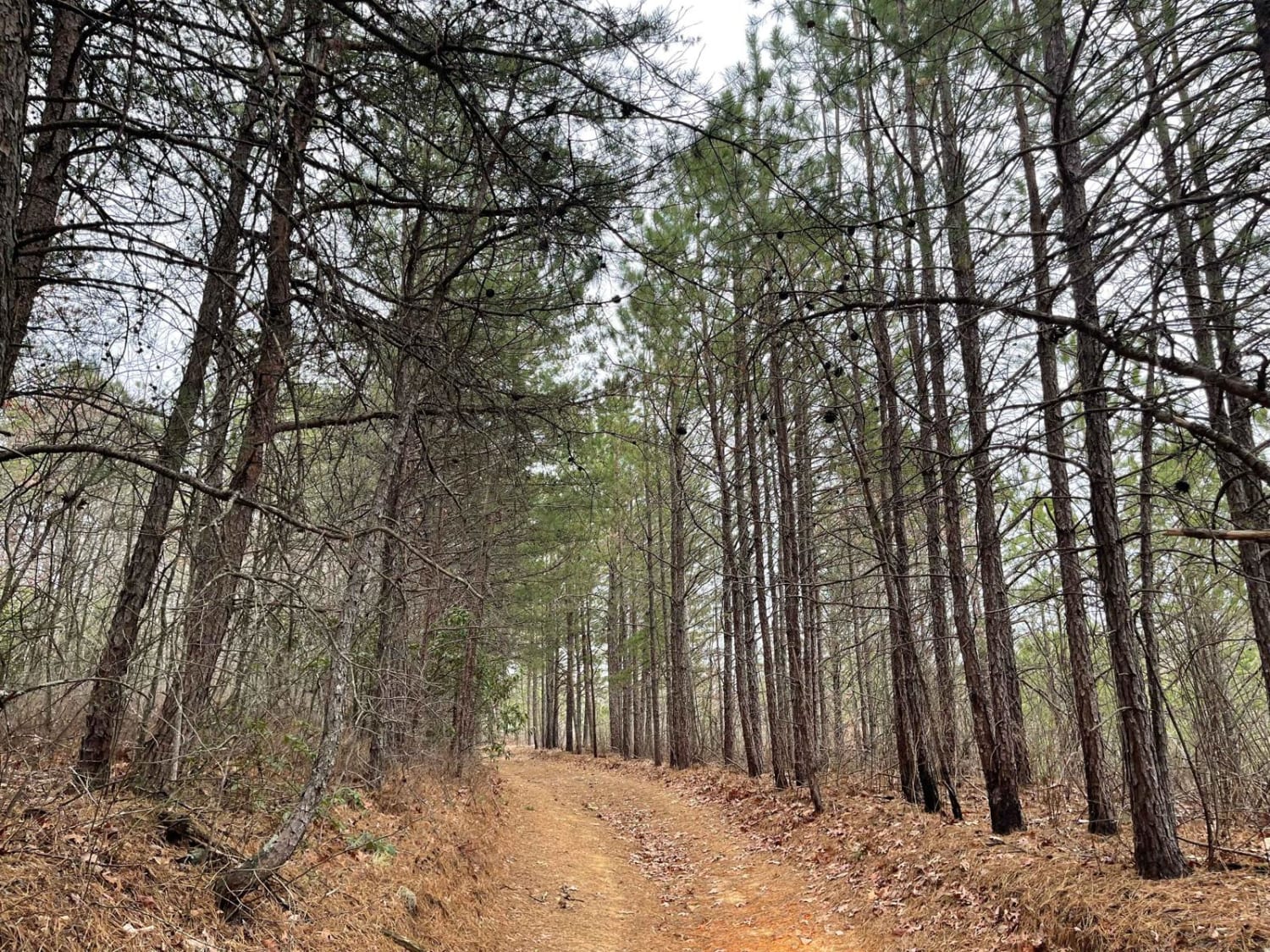
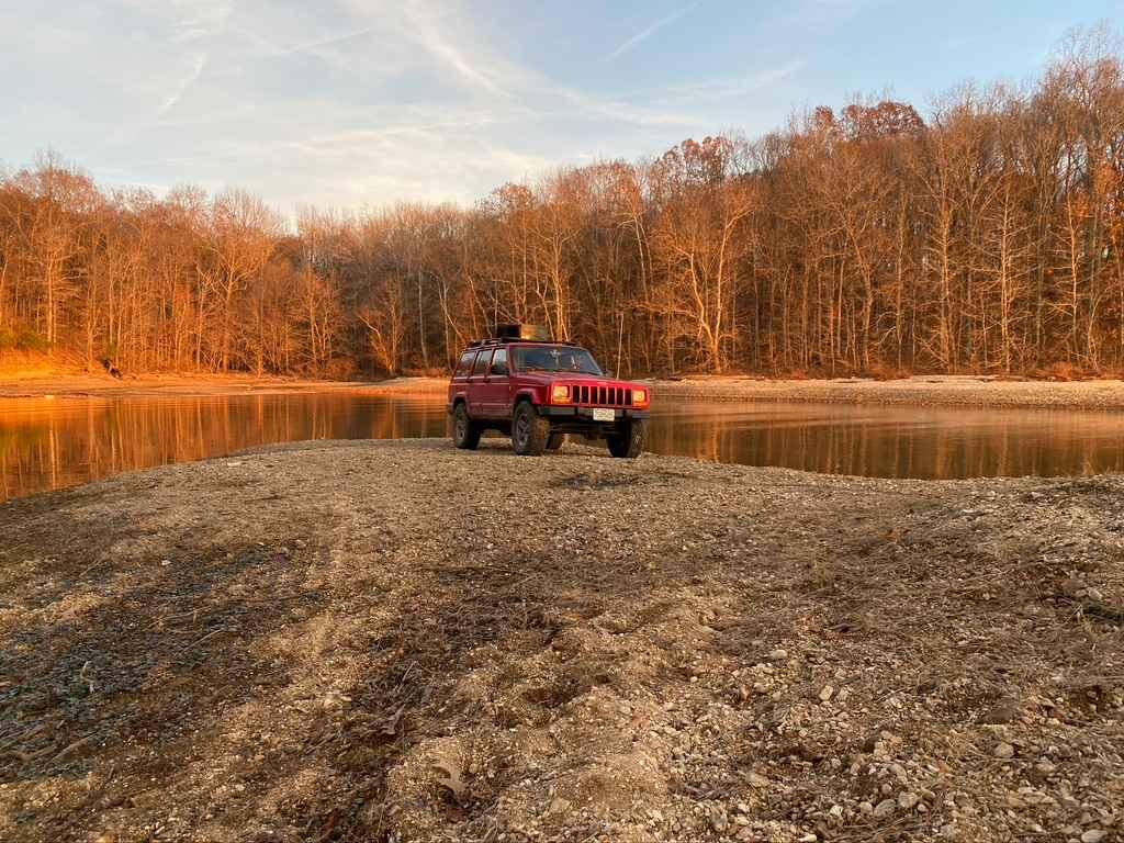
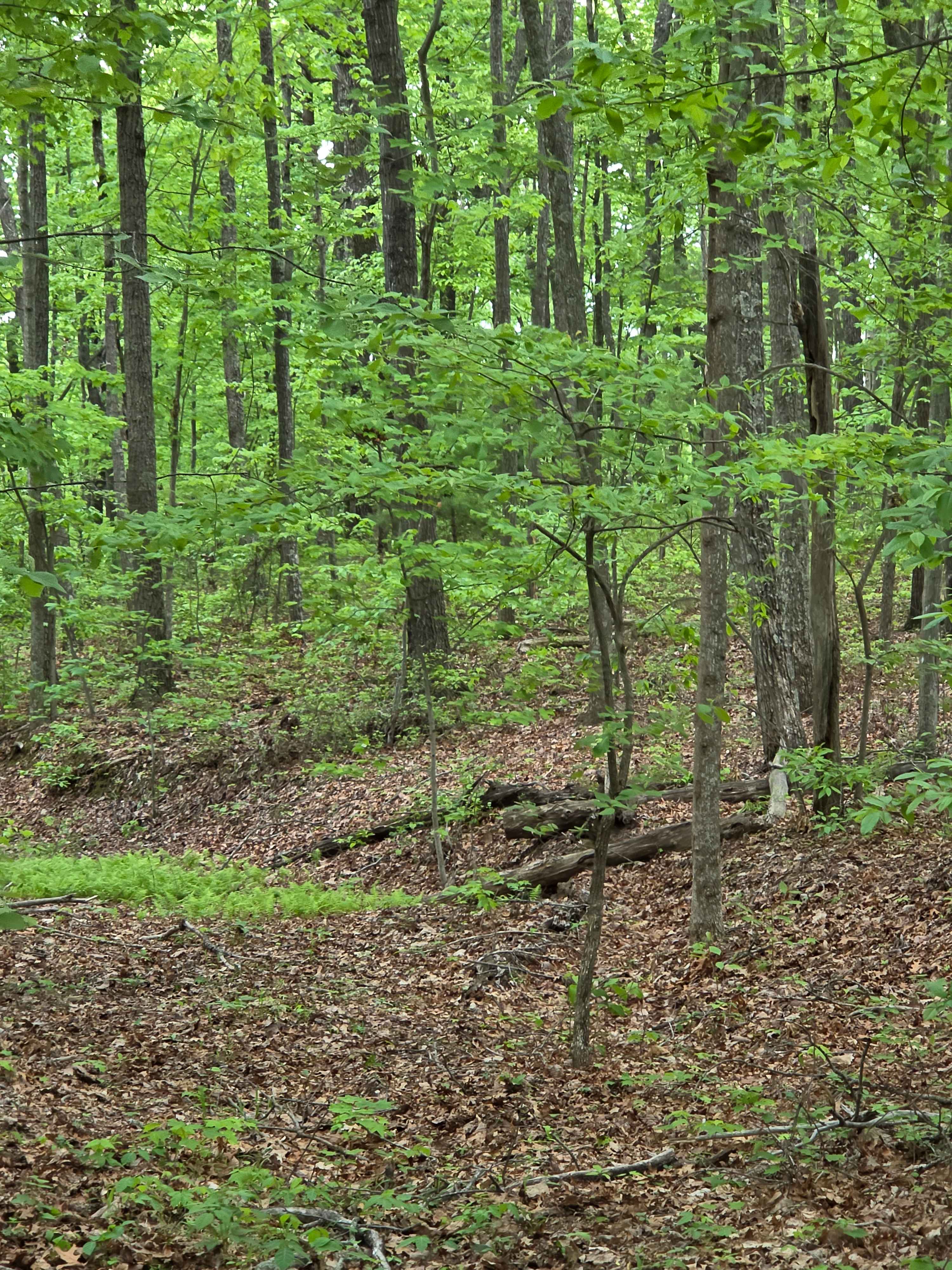
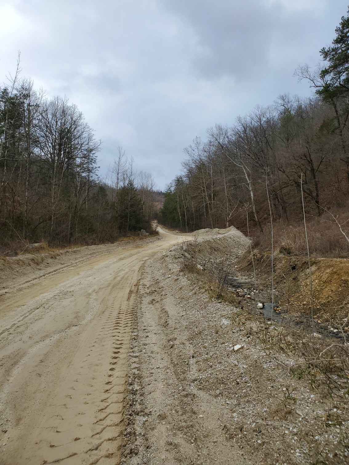
This Trail starts off with an easy gravel road switching quickly to a small off-camber climb. There's a steep rock climb, and there's a direct and easier but narrower way. There are many mud pits, most with a bypass. Near the end the trail cuts back steeply to River Road, starting a steep, off-camber descent. This trail is Gorgeous, and a welcome change from portions of the KAT on the Main 2 that could be completed in a Prius. This Trail follows the top of a Sandstone Outcropped Ridge, dropping into a Hemlock Forest. There is even a small waterfall at the end, with several campgrounds following this portion of the trail.
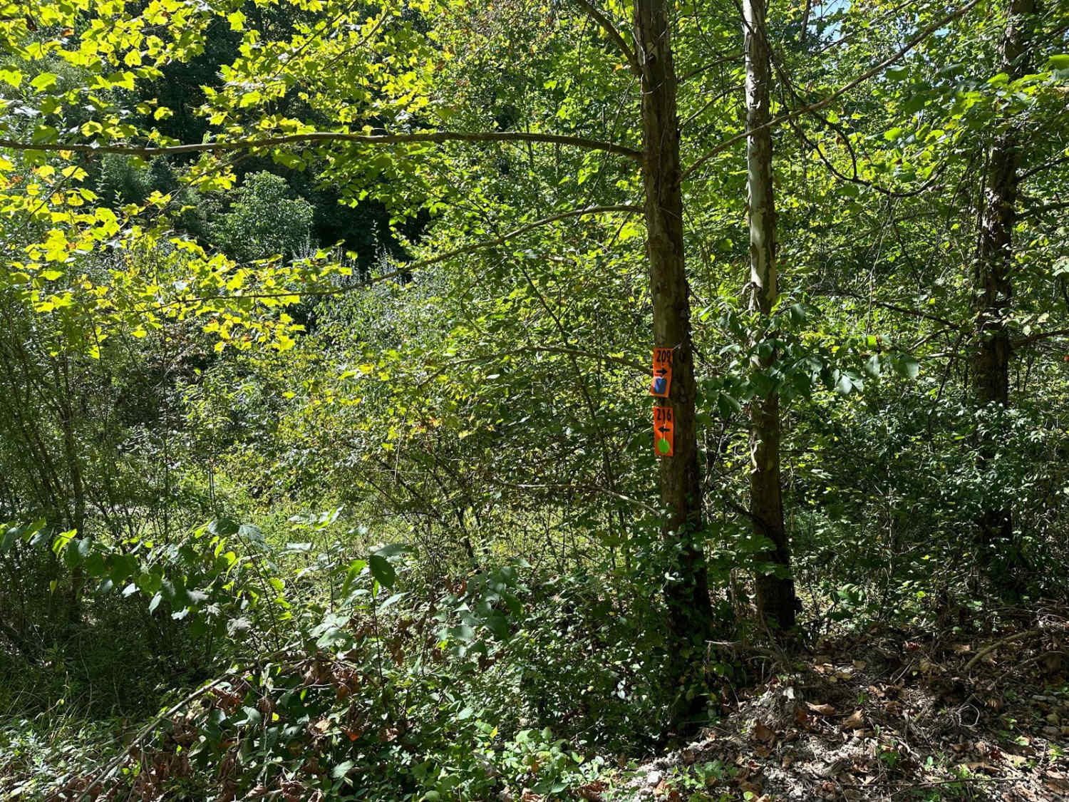
Photos of KAT Main 2 - Longbottom to River Road
Difficulty
Air down for this trail. Steep Rock climbs, deep rutted mud holes. Full bash plates are a plus.
Status Reports
KAT Main 2 - Longbottom to River Road can be accessed by the following ride types:
- High-Clearance 4x4
KAT Main 2 - Longbottom to River Road Map
Popular Trails
Carmack Bay FSR 121/121C
Big Bend Road
Chop Chesnut
The onX Offroad Difference
onX Offroad combines trail photos, descriptions, difficulty ratings, width restrictions, seasonality, and more in a user-friendly interface. Available on all devices, with offline access and full compatibility with CarPlay and Android Auto. Discover what you’re missing today!