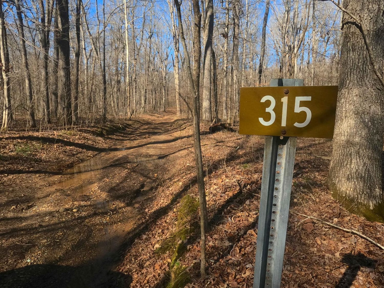
Fulton Furnace Road - FS 315
Total Miles
1.2
Technical Rating
Best Time
Spring, Summer, Fall, Winter
Trail Type
Full-Width Road
Accessible By
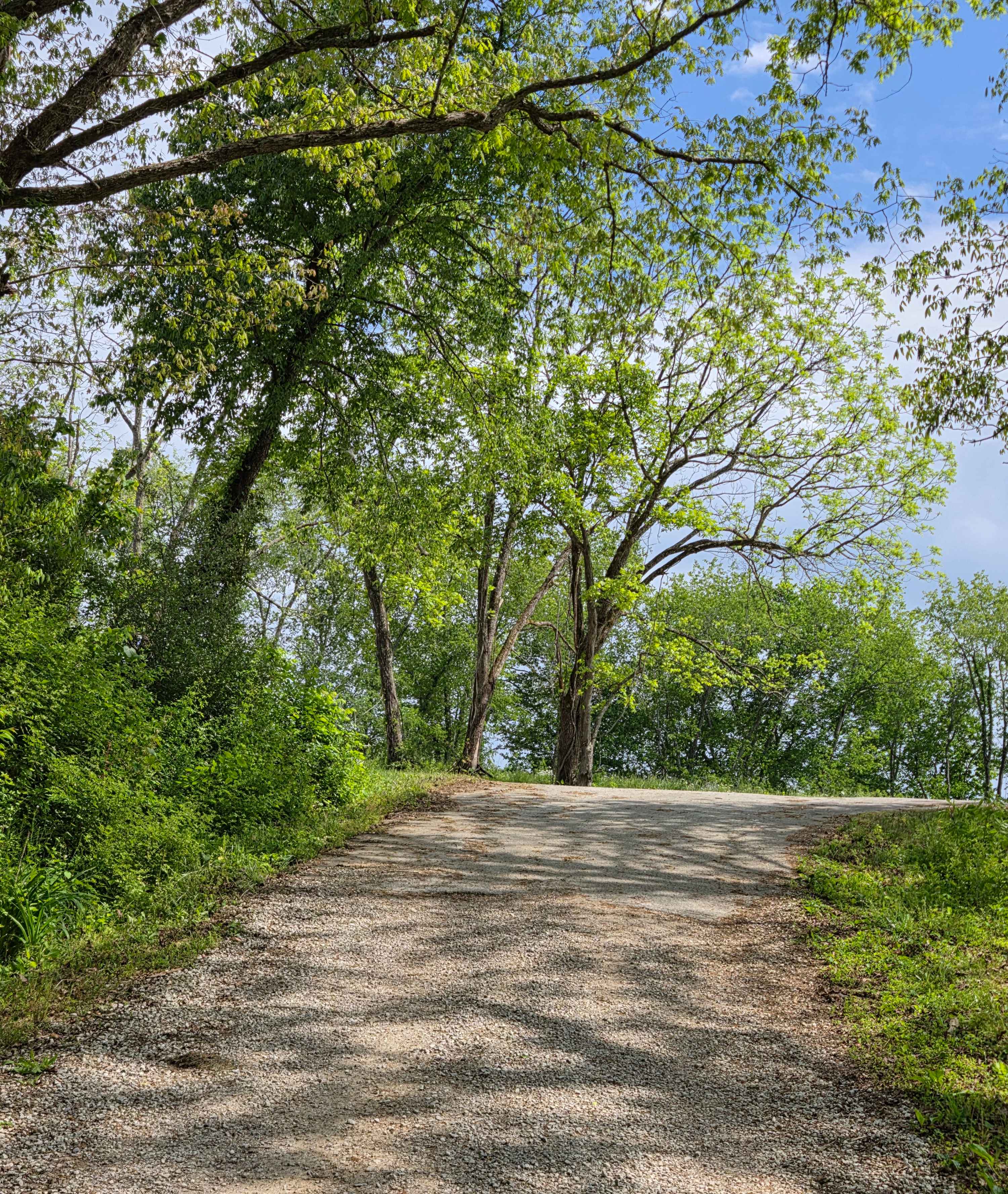
Trail Overview
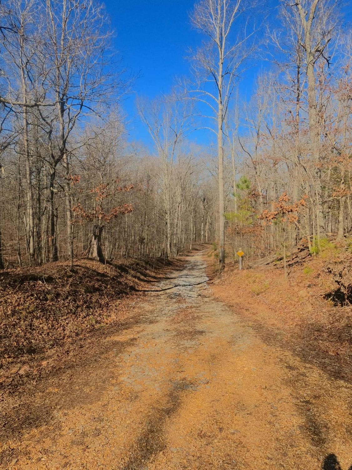
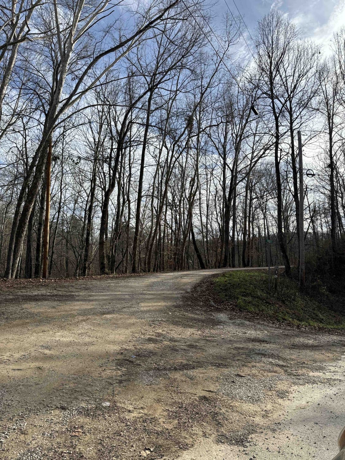
The Fulton Furnace Road FS 315 is a natural-improved forestry road through the center-east Kentucky section, Lake Barkley side, of the Land Between the Lakes National Recreation Area. The FS 315 is a fun little adventure with both history and thrill to its name. The road is short but still packs in some fun, traversing a set of mild graded hills, a small creek bottom crossing, rocky erosion, mud holes, and graceful treelines. Pay attention to the road surface; in spots, you can see these blue glass-like "rocks." They are not rocks, but the byproduct of pig iron furnaces, called slag, which is a historically protected artifact--not permitted to be taken. The layout of the trail leads to its motor vehicle endpoint at 36.92106, -88.04358. This is where the old roads begin with the Soden Cemetery access on the right going east and with access to the no-longer-standing Fulton Furnace on the left going north. Soden Cemetery is at 36.92605, -88.04082, and the ruins of the furnace can still be found if willing to hunt for them around 36.92462, -88.04686. It's a must-see and must-explore for any offroading history buff.
Photos of Fulton Furnace Road - FS 315
Difficulty
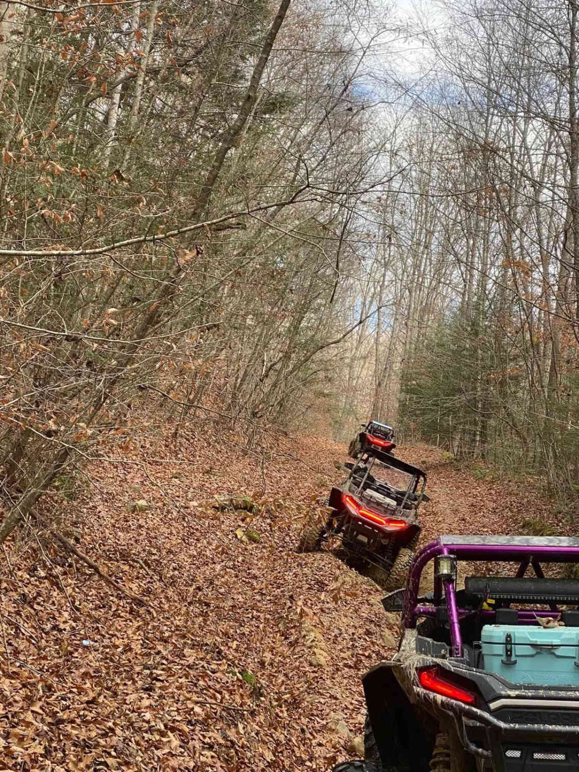
The Fulton Furnace road is easy, featuring a few obstacles to provide a bit of fun on the way to where the history picks up. Along the first hill where the trail begins, several attempts have been made to tame this hill's natural tendency to wash. At the time of writing (3/2024) this is currently under control but could fall into a rough condition again. Outside of this, the road crosses a creek bottom area and has a small water splash featuring low 6-inch-deep water, then hits a few small mud hole spots pushing the 12-inch depth range before climbing back to the ridge tops on a mildly rutted hill. On the ridge top, there are a few water collection holes as well with a depth of 12 inches. All this said, it's given a low demanding 3/10 base rating. Difficulty can increase in times of wet conditions, inclement weather, and heavy use, especially at the creek crossing. At the creek, nearby debris shows signs of water being at greater depths. If the road was to be mended further, it would yield a lower rating.
History
A sign along the Trace Road mentions this history of the Fulton Furnace and Kentucky's Iron History: "Fulton Furnace: Built 2 miles east in 1845 by Thomas Tennessee Watson, Daniel Hillman. A brick stack 33 ft. high, 11 ft. across at the widest point, it produced 1044 tons of iron in 22 weeks of 1857. After 1856, it had ovens to heat the air for its blast, which was powered by steam. Charcoal fuel made and ore mined locally. Last blast 1860. Iron Made in Kentucky: A major producer since 1791, Ky. ranked 3rd in US in 1830s, 11th in 1965. Charcoal timber, native ore, limestone supplied material for numerous furnaces making pig iron, utensils, munitions in the Hanging Rock, Red River, Between Rivers, Rolling Fork, Green River Regions. Old charcoal furnace era ended by depletion of ore and timber and the growth of railroads."
Status Reports
Fulton Furnace Road - FS 315 can be accessed by the following ride types:
- High-Clearance 4x4
- SUV
Fulton Furnace Road - FS 315 Map
Popular Trails
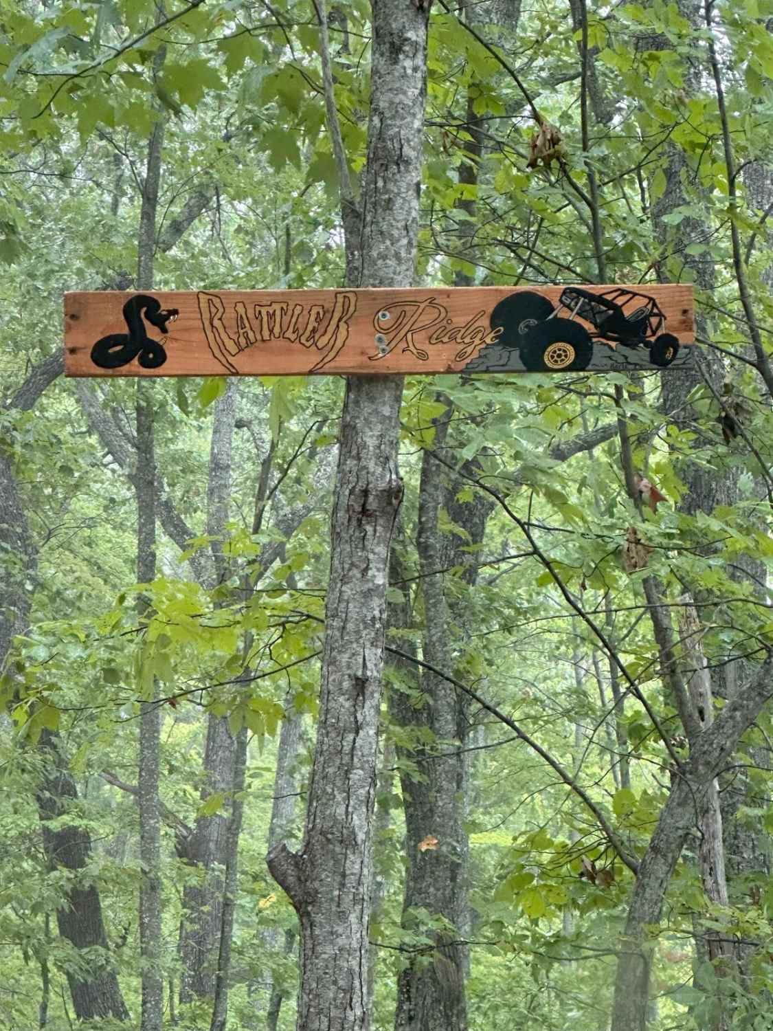
Rattler Ridge
Pierson Road
The onX Offroad Difference
onX Offroad combines trail photos, descriptions, difficulty ratings, width restrictions, seasonality, and more in a user-friendly interface. Available on all devices, with offline access and full compatibility with CarPlay and Android Auto. Discover what you’re missing today!