Clifton Ridge Road
Total Miles
1.9
Technical Rating
Best Time
Spring, Summer, Fall
Trail Type
Full-Width Road
Accessible By
Trail Overview
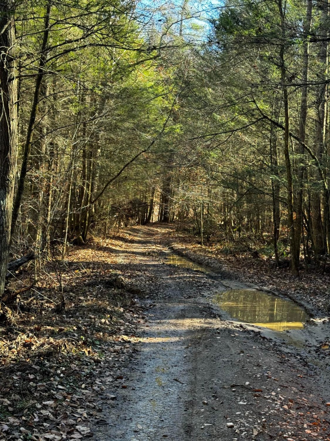
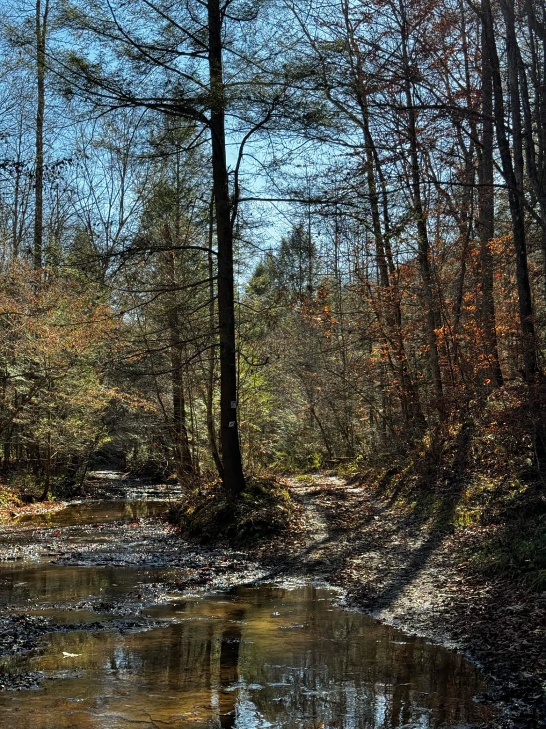
Part of the Daniel Boone Backcountry Highway, this trail is a moderately tough trek through a valley carved by Clifton Creek. Starting at the north end, the trail starts almost immediately after the paved road with a long drive through the creek. The road winds through a thick cover of trees from the Daniel Boone National Forest. The trail ascends past some cliffside rocks that leave the trail tight, and it's a rocky climb up several sections. There are some switchbacks with one passing a rock overhang that sports a waterfall if it has rained recently. Some off-camber tracks lead to some drops into ruts, with a slick hill climb at the very end. This trail is certainly doable but can be technical.
Photos of Clifton Ridge Road
Difficulty
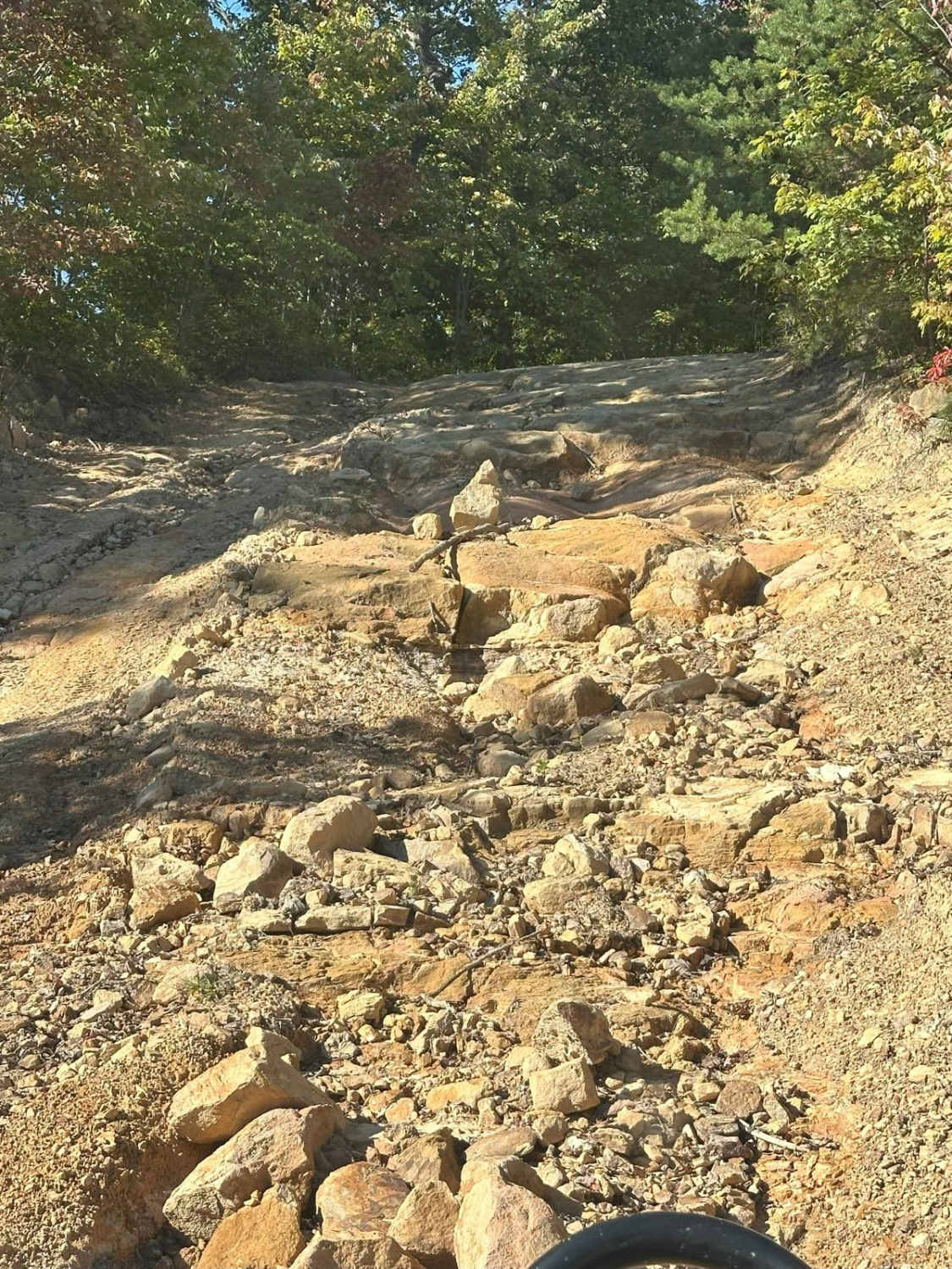
A sharp climb over a broken drain pipe requires some positioning to climb over it, as it is a sharp 18-inch climb. Some of the ruts nearer to the top create a more than 2-foot off-camber drop that gives this the rating of 5. There are very limited spaces to pass a group of people on this trail. Some hill climbs will find people with lower clearance scraping a little to the top.
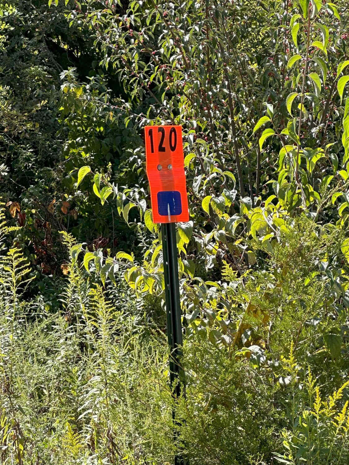
Status Reports
Clifton Ridge Road can be accessed by the following ride types:
- High-Clearance 4x4
- SUV
- SxS (60")
Clifton Ridge Road Map
Popular Trails


The onX Offroad Difference
onX Offroad combines trail photos, descriptions, difficulty ratings, width restrictions, seasonality, and more in a user-friendly interface. Available on all devices, with offline access and full compatibility with CarPlay and Android Auto. Discover what you’re missing today!