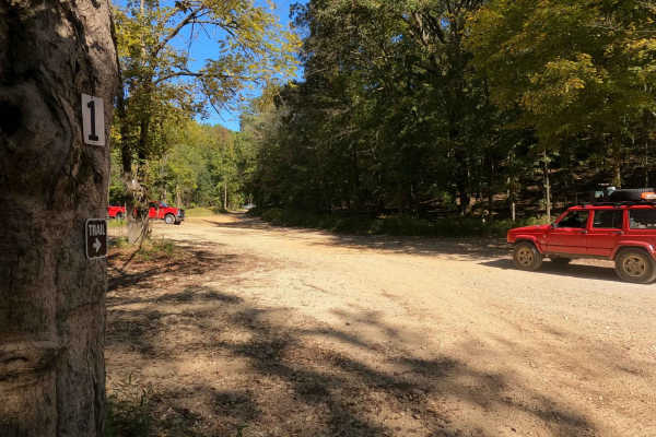
Trail Overview
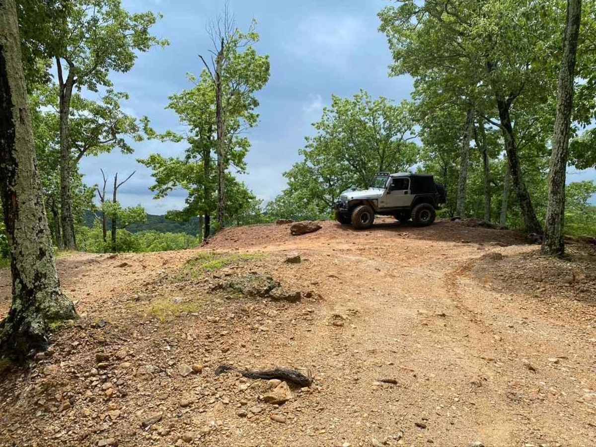
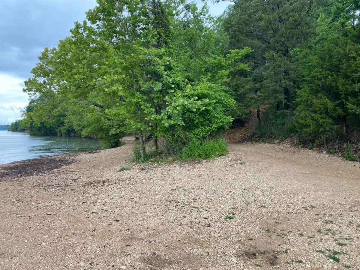
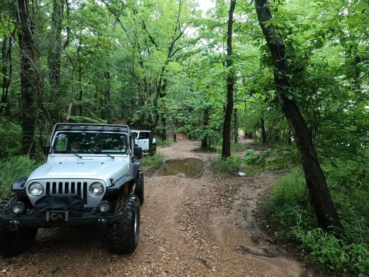
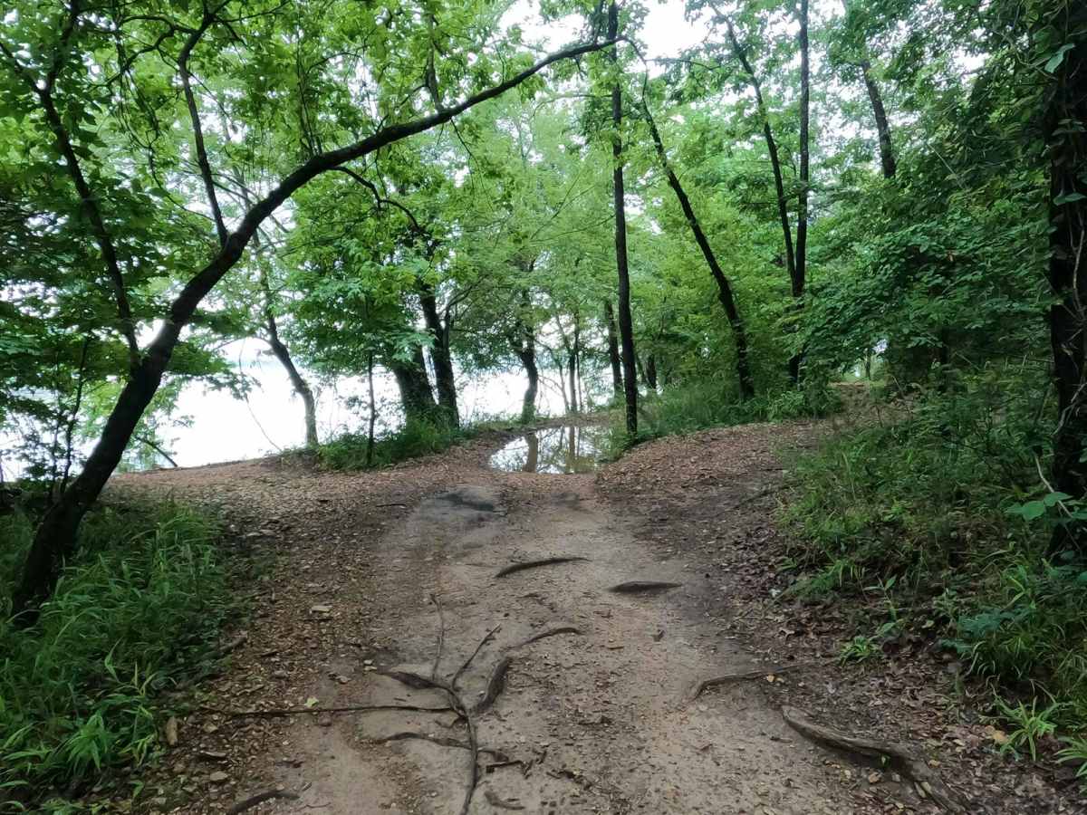
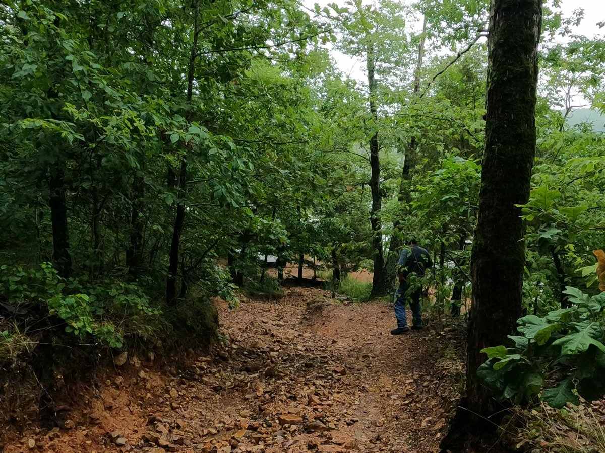
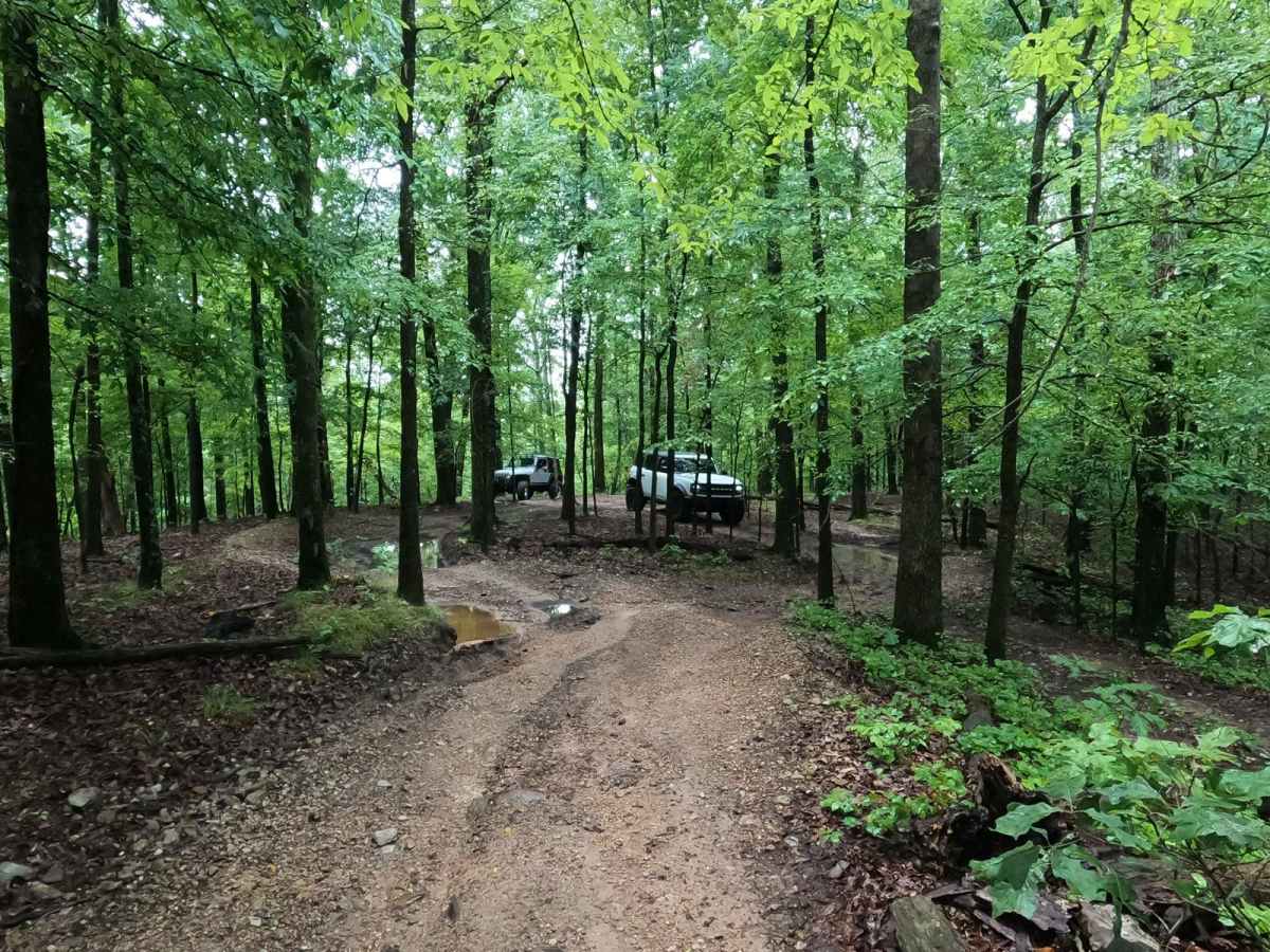
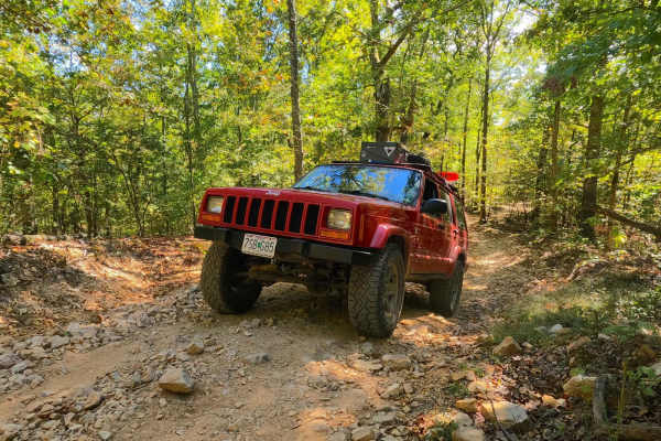
The Bay Overlook Trail is a collection of secondary orange and tertiary blue trails put together to form a more challenging and fun route through Turkey Bay OHV, within the Land Between the Lakes National Recreation Area. The official forestry route IDs within this trail, going south to north (B for Blue, O for Orange) starting at the FS 167, are the O7201, B7305, O7203, B7314, B7313, B7317, O7202, O7204, and O7205, ending at the middle of the 1 to 2 Road. This trail is composed of Turkey Bay shoreline gravel at the water's edge, transforming quickly into natural dirt trails, joining together sections of heavy rock (softball-sized on average, up to sparsely spread out basketball-sized rocks), with small ledges, large mudholes, water collection holes, tight treelines, deep curved-out erosion channels of natural terrain, and downed trees, all while steadily climbing up moderate hills when going south to north. One of the easiest-to-access thrill rides the park has to offer from the gatehouse entry, this trail is scenery filled with natural landscapes, especially at the Bay Overlook at 36.74725, -88.09124. This is a great trail to ride first if you want a quick idea of what Turkey Bay has to offer in an all-in-one example. Keep in mind, due to lake levels rising and lowering, the southern end of this trail can be underwater in rare cases. If so, you will have to find a bypass, as tires are not allowed in the direct Kentucky Lake water.
Difficulty
The difficulty of the Bay Overlook Trail is the natural terrain of the secondary orange and tertiary blue trails in the park. These trails are shaped and molded by Mother Nature and user-inflicted wear and tear. Starting at the shoreline of Turkey Bay, you can expect loose lake-side gravel and finer rock leading into tight trees with roots exposed, laced with water collection and mud holes. This leads you to the hills and valleys section filled with moderate grades. In this section, rain causes erosion and natural exposure to sharp-edged rocks in most of the grades. This alone can create foot ledges and smaller slick rocks, potentially covered with thin slick mud on top. In the valleys of the Bay Overlook, you will find dirt-based bottoms with tight treelines, deep mudholes, and water collection holes ranging from 6 to 24" inches in depth. Be careful to probe and determine the depth of these holes before entry. There are also sections where heavy water erosion has cut 6-foot tall channels into the hillsides, forming V-notched sections of trails, where the walls of the channel are used to straddle the deep cut-out center rut while climbing up a steep grade to add to the challenge. If the endpoint meeting the 1 to 2 Road is wet, expect a large section of top layer gumbo and clay mud. The use of momentum is best to avoid becoming stuck. All this considered, the road is given a base rating of 5/10, due to the naturally shaped grades and the variety of terrain types. It could ride more like a 4/10 when very dry but will increase in difficulty if wet or in seasons of heavy rain.