Sulphur Peak #5237
Total Miles
2.1
Technical Rating
Best Time
Summer, Fall
Trail Type
50" Trail
Accessible By
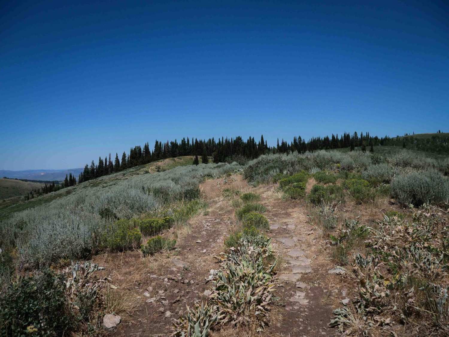
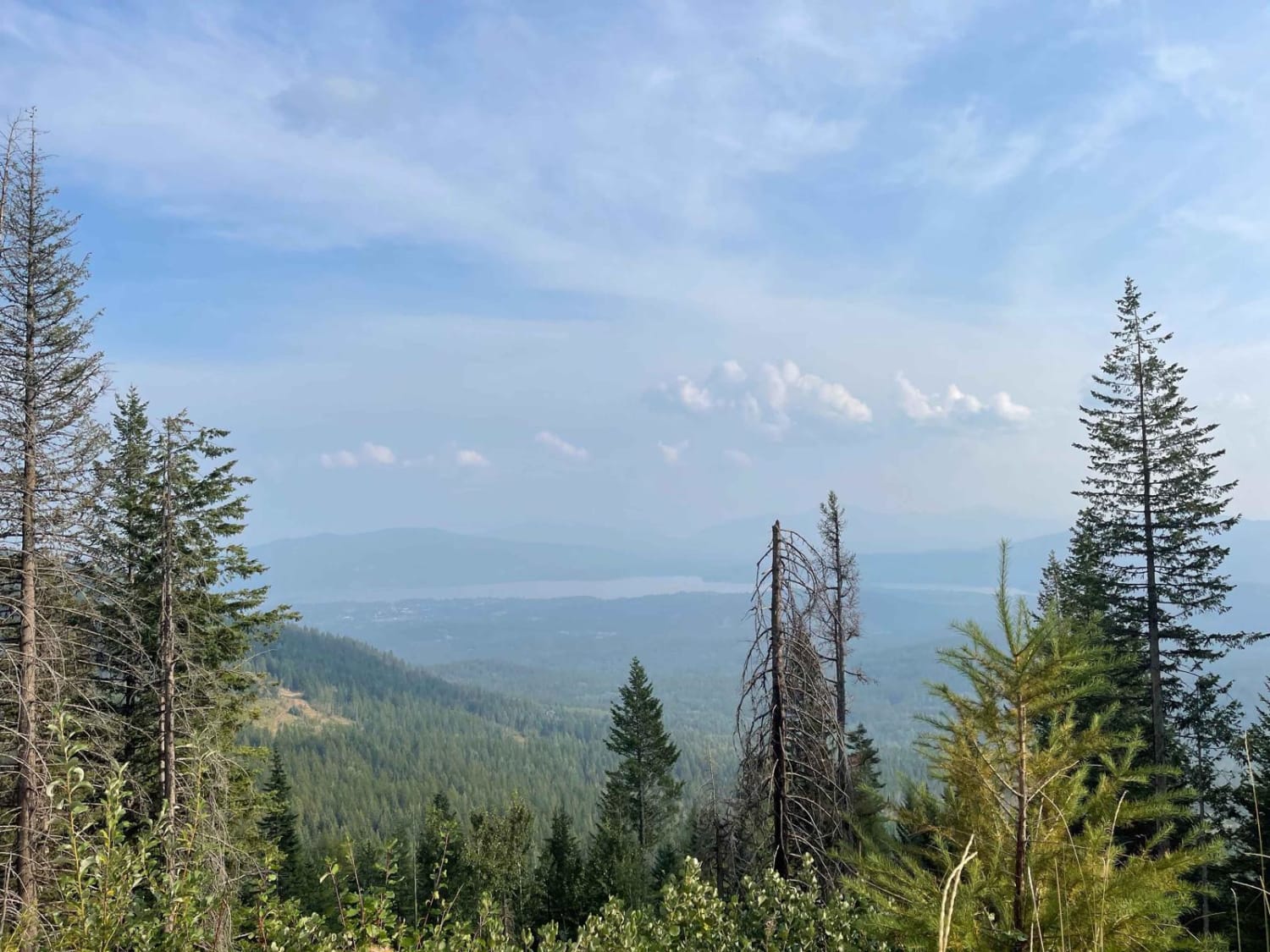
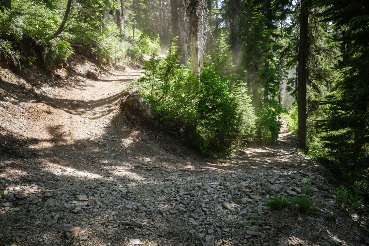
Trail Overview
Sulphur Peak #5237 is an intermediate 2-mile-long ATV loop that begins with a steep climb on a dirt two-track off Forest Service Road #50177. The climb is covered in small loose rock and maintains a steady grade, though it is less difficult than the climb on the neighboring trail #5238. The trail crests at a ridgeline on one of the taller peaks in the area, offering expansive mountain views. From there, it follows a rocky ridgeline over rolling hills before descending back down. The descent is less rocky, but just as steep in spots. The route stays mostly in wide open terrain, with wide meadows and exposed hilltops, offering full sun exposure and minimal tree cover. The combination of elevation and views makes it a scenic loop ride with moderate challenge from the climbs.
Photos of Sulphur Peak #5237

Difficulty
This is an intermediate trail due to the sustained steep climb on loose rock and the ridge line terrain. It's ideal for riders with a bit more experience.
Status Reports
Sulphur Peak #5237 can be accessed by the following ride types:
- ATV (50")
- Dirt Bike
Sulphur Peak #5237 Map
Popular Trails
Panhandle Overland Rally Scenic Loop

Reese Creek Road
Lake Elsie ATV
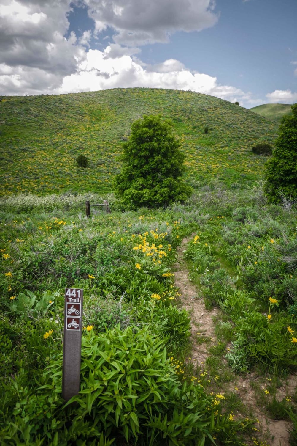
Ruben Hollow to Davis Basin 7441
The onX Offroad Difference
onX Offroad combines trail photos, descriptions, difficulty ratings, width restrictions, seasonality, and more in a user-friendly interface. Available on all devices, with offline access and full compatibility with CarPlay and Android Auto. Discover what you’re missing today!