State Line (7)
Total Miles
0.8
Technical Rating
Best Time
Trail Type
Accessible By
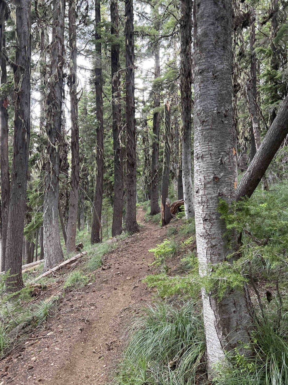
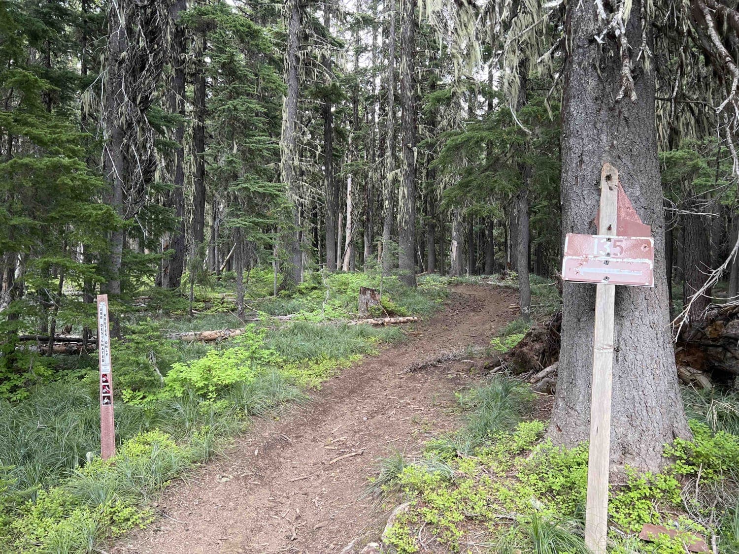
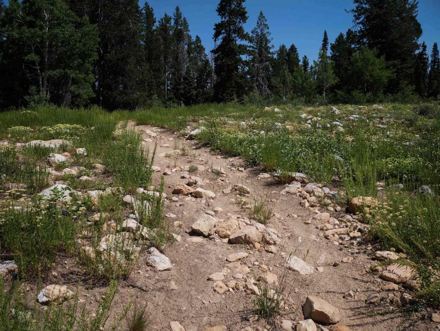
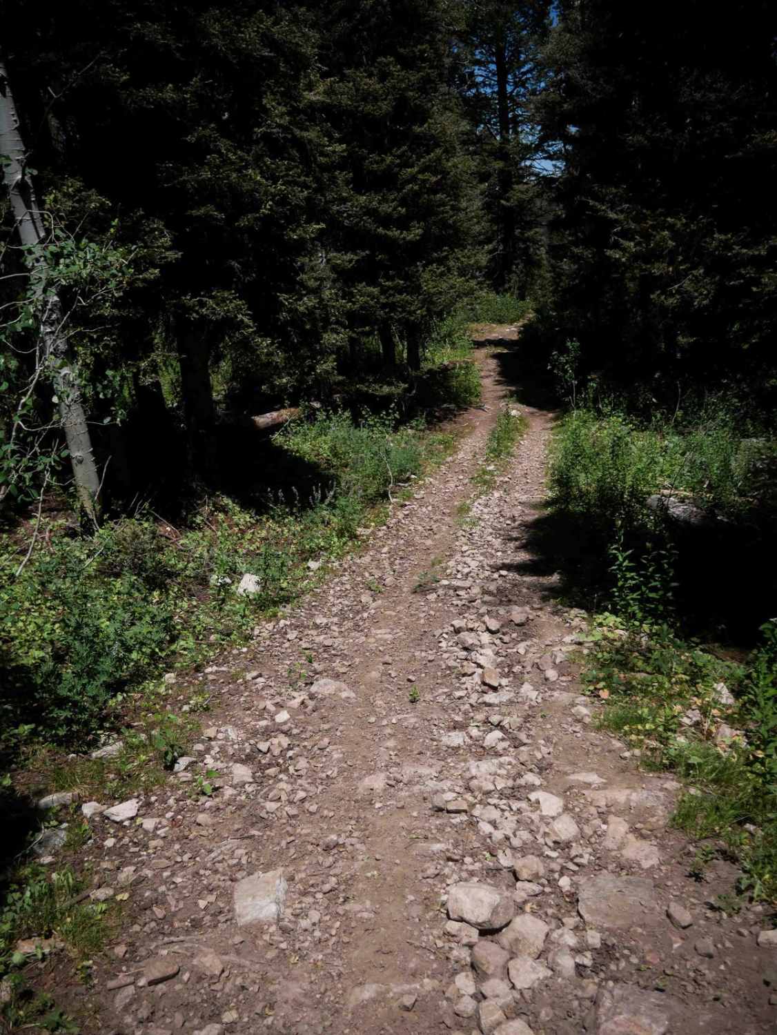
Trail Overview
This is a great flow trail. Props to those taking care of this one! There are several water erosion areas that were repaired by rock construction. Trail runs along a hillside from South to North and terminates in an area with multiple trails - both quad and single track.
Photos of State Line (7)
Status Reports
There are no status reports yet for this trail.
State Line (7) can be accessed by the following ride types:
State Line (7) Map
Popular Trails
Character Ridge
Total Miles
10.6
Tech Rating
Easy
Best Time
Su / Fa
Stinking Springs
Total Miles
6.2
Tech Rating
Moderate
Best Time
Sp / Su
Squirrel Hollow #3358
Total Miles
3.4
Tech Rating
Moderate
Best Time
Su / Fa
Eightmile #3446
Total Miles
2.6
Tech Rating
Moderate
Best Time
Su / Fa
The onX Offroad Difference
onX Offroad combines trail photos, descriptions, difficulty ratings, width restrictions, seasonality, and more in a user-friendly interface. Available on all devices, with offline access and full compatibility with CarPlay and Android Auto. Discover what you’re missing today!