North Fork River Road
Total Miles
24.5
Technical Rating
Best Time
Spring, Summer, Fall
Trail Type
Full-Width Road
Accessible By
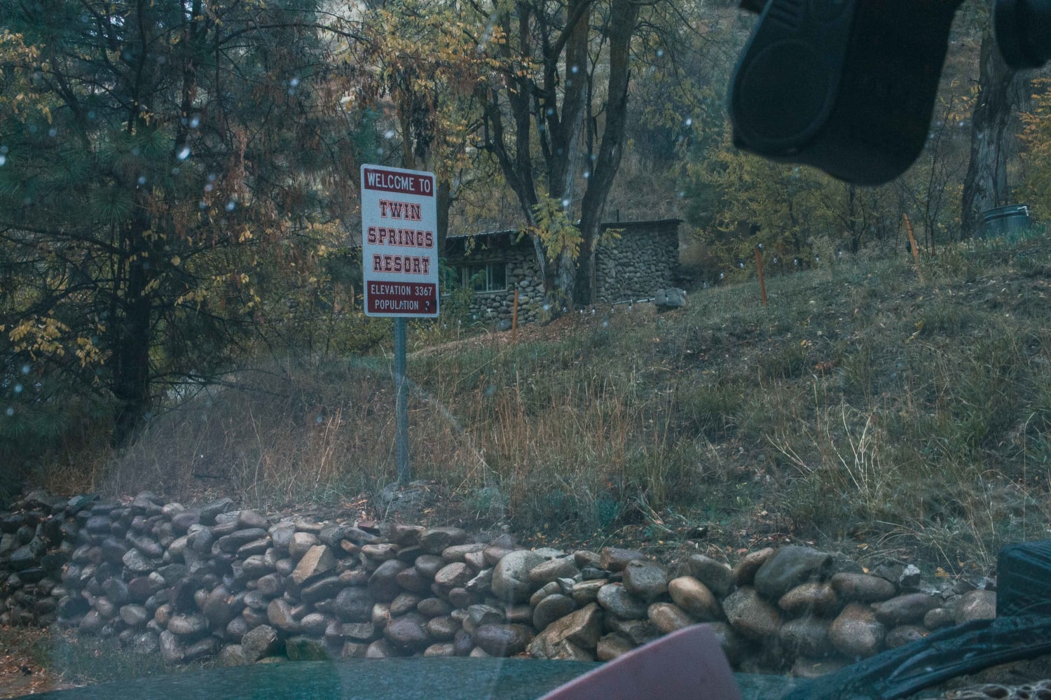
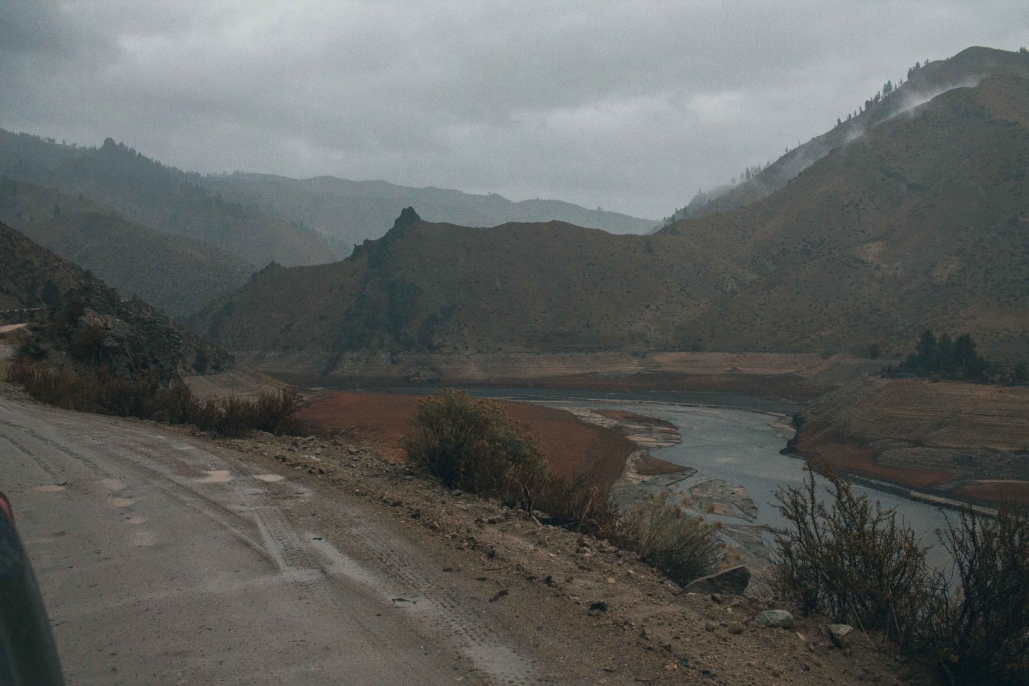
Trail Overview
Do you like long drives on a dirt road, river views, and hot springs? This road is for you! Enjoy a dirt road that follows along the Boise River. It is possible to do this in any vehicle as long as there is no snow or heavy rainstorms. During heavy rainstorms, this road could become dangerous with falling rock and possible floods. The views are amazing and showcase all that Idaho has to offer.
Photos of North Fork River Road
Difficulty
Mud possible, water puddles, be careful in heavy rain, landslides, falling rock and floods possible.
Status Reports
North Fork River Road can be accessed by the following ride types:
- High-Clearance 4x4
- SUV
- SxS (60")
- ATV (50")
- Dirt Bike
North Fork River Road Map
Popular Trails

Forest Service Rd 3320E West


Carey Dome Lookout
The onX Offroad Difference
onX Offroad combines trail photos, descriptions, difficulty ratings, width restrictions, seasonality, and more in a user-friendly interface. Available on all devices, with offline access and full compatibility with CarPlay and Android Auto. Discover what you’re missing today!