National Forest Development Road 3308
Total Miles
4.1
Technical Rating
Best Time
Spring, Summer, Fall
Trail Type
50" Trail
Accessible By
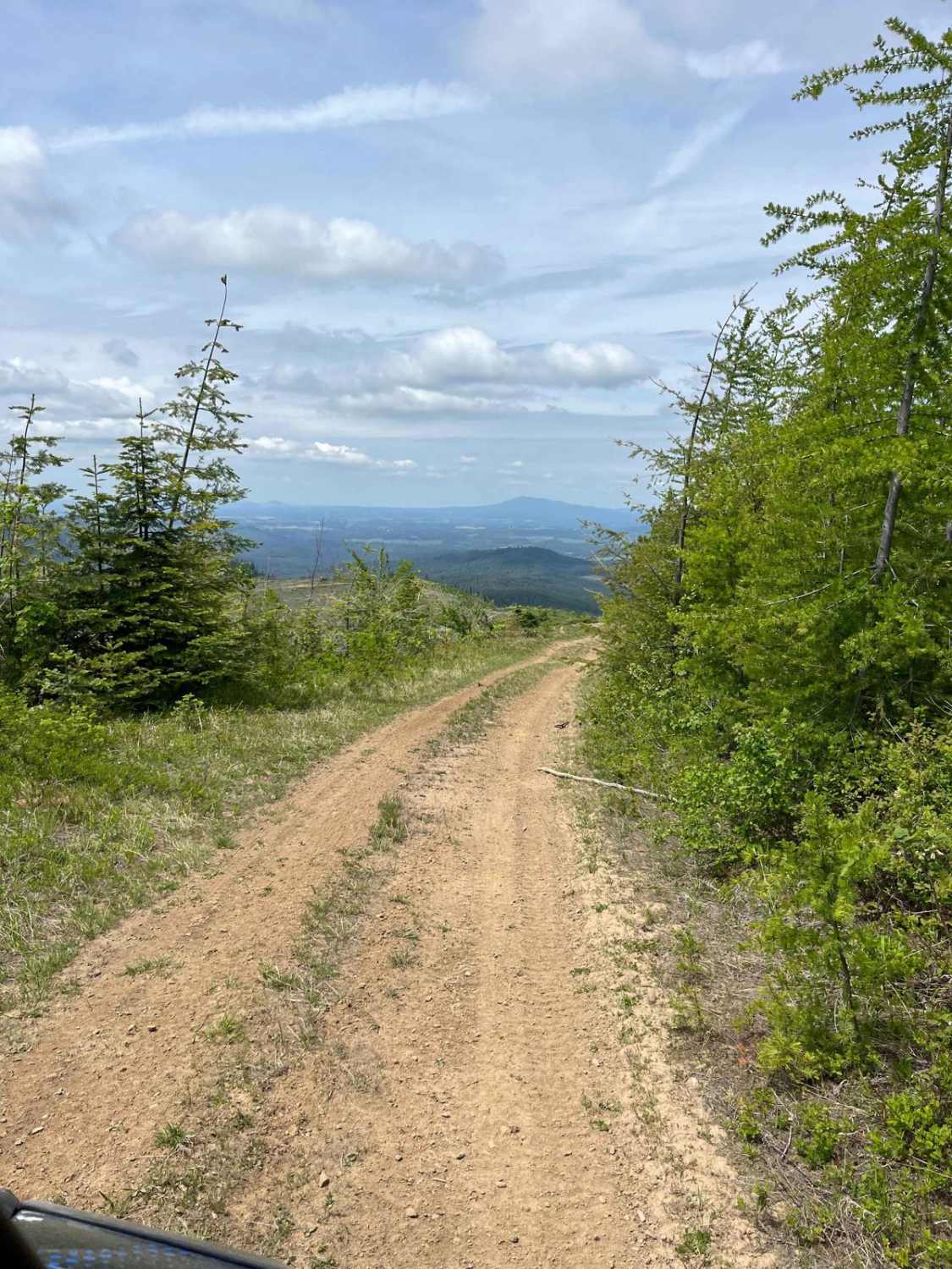
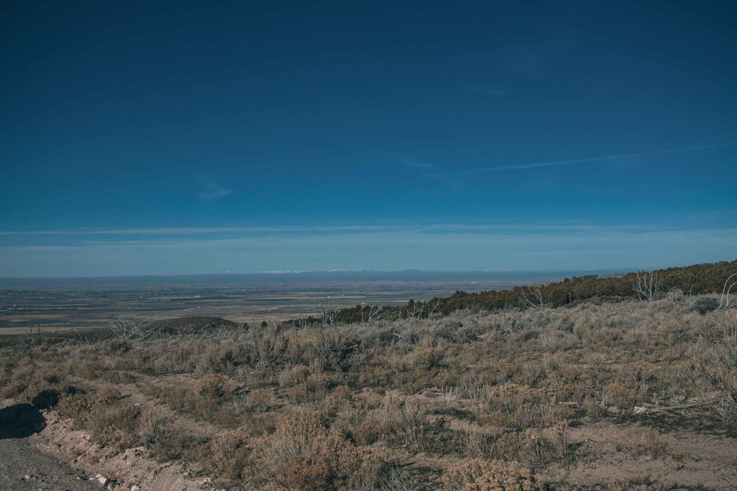
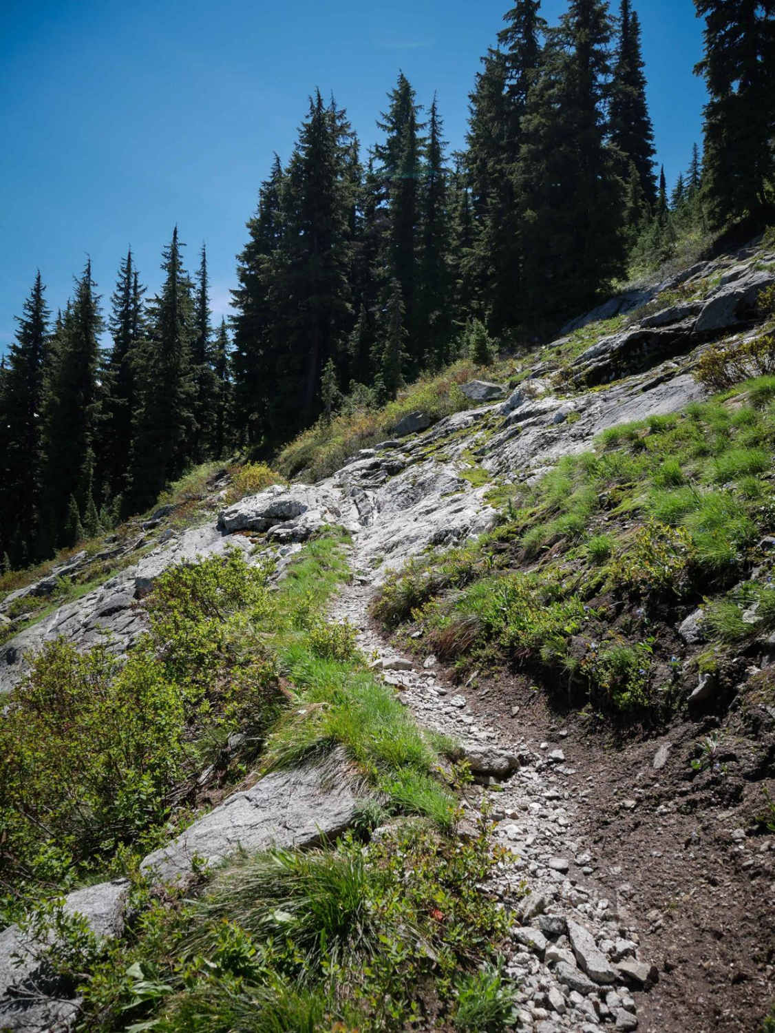
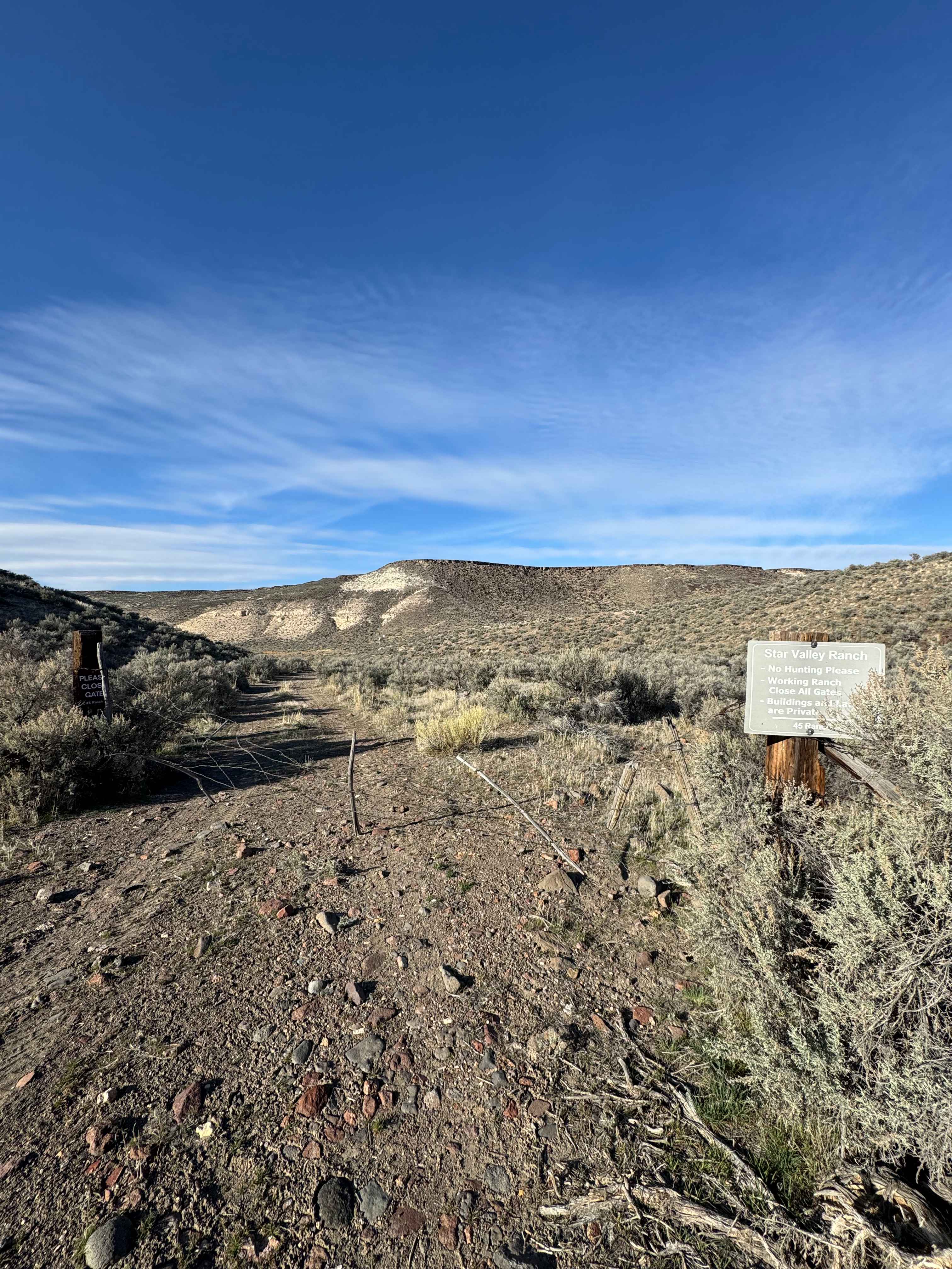
Trail Overview
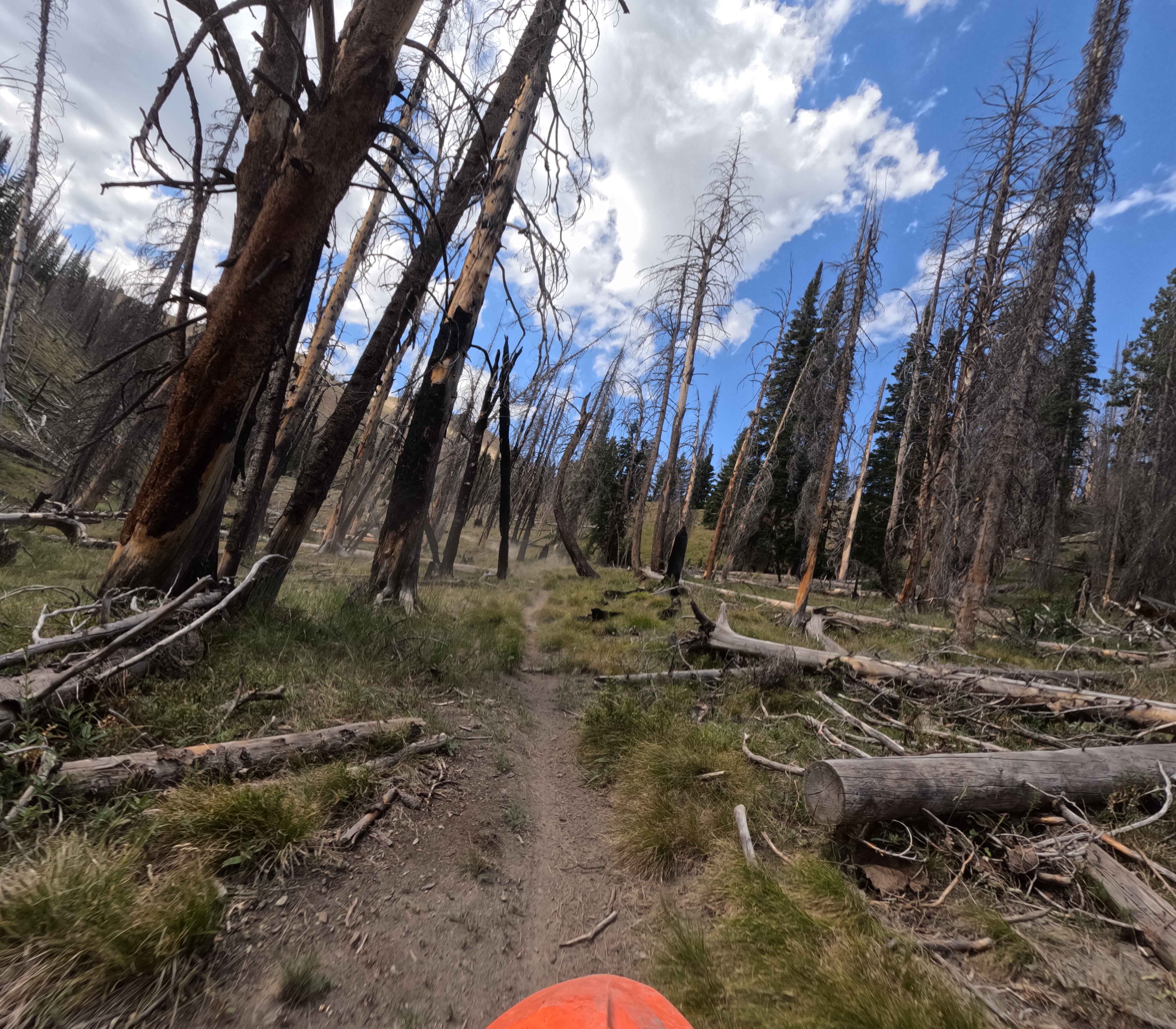
This trial goes from the top of McGary Butte down to Highway 8. This 4-mile track is rough and harder to navigate in areas due to run-off during spring. Old dirt logging road through the trees off the backside of the butte. The trail is downhill all the way. It is called National Forest Development Road 3308. There is a spring to see along the way, and a gate at the bottom to go around 50 inches or smaller. There is a shallow creek crossing on the bottom side, which is a nice place to have lunch or dry camp if you want. Note that you can choose to stay on the main road and around the butte if you are coming back up from the bottom, and go around.
Photos of National Forest Development Road 3308

Difficulty
This is rated a 4 because there are some areas where you have to navigate run off in the road, and it is a downhill (from the top) and steeper in some areas. At the bottom of the butte, there is an intersecting road that can be used to go around if you are coming up, which might prove harder than going down.
Status Reports
National Forest Development Road 3308 can be accessed by the following ride types:
- ATV (50")
- Dirt Bike
National Forest Development Road 3308 Map
Popular Trails
Cotterel Mountain Road
Junction Mountain
Nevada Crossing - BLM 5625
Rooks Creek - FS 7145
The onX Offroad Difference
onX Offroad combines trail photos, descriptions, difficulty ratings, width restrictions, seasonality, and more in a user-friendly interface. Available on all devices, with offline access and full compatibility with CarPlay and Android Auto. Discover what you’re missing today!