Echo Peak OHV
Total Miles
5.2
Technical Rating
Best Time
Fall, Summer, Spring
Trail Type
50" Trail
Accessible By
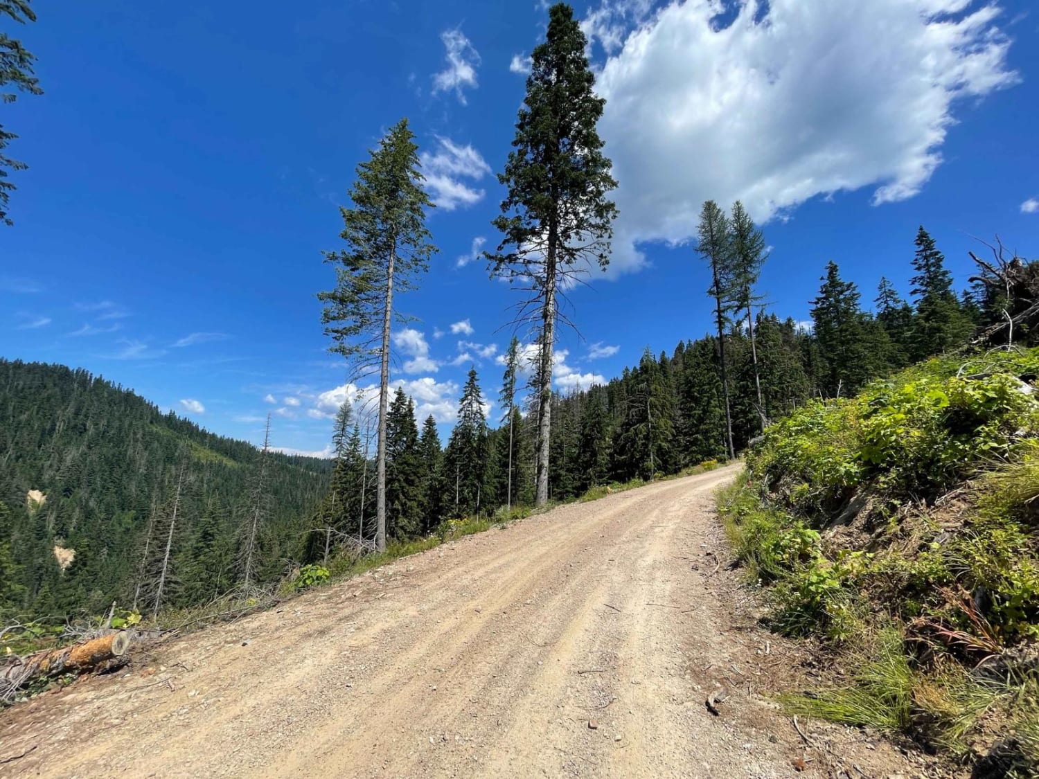
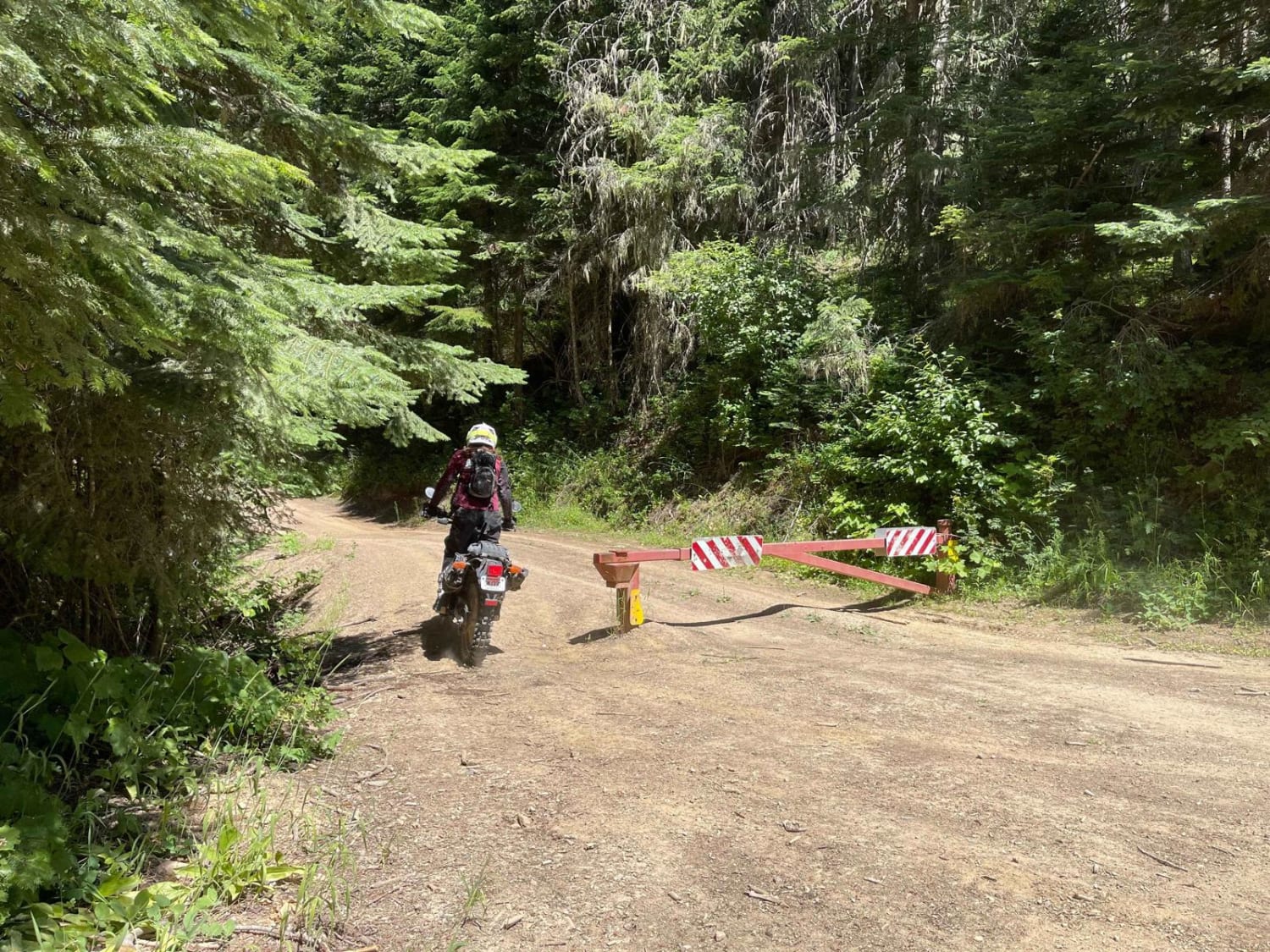
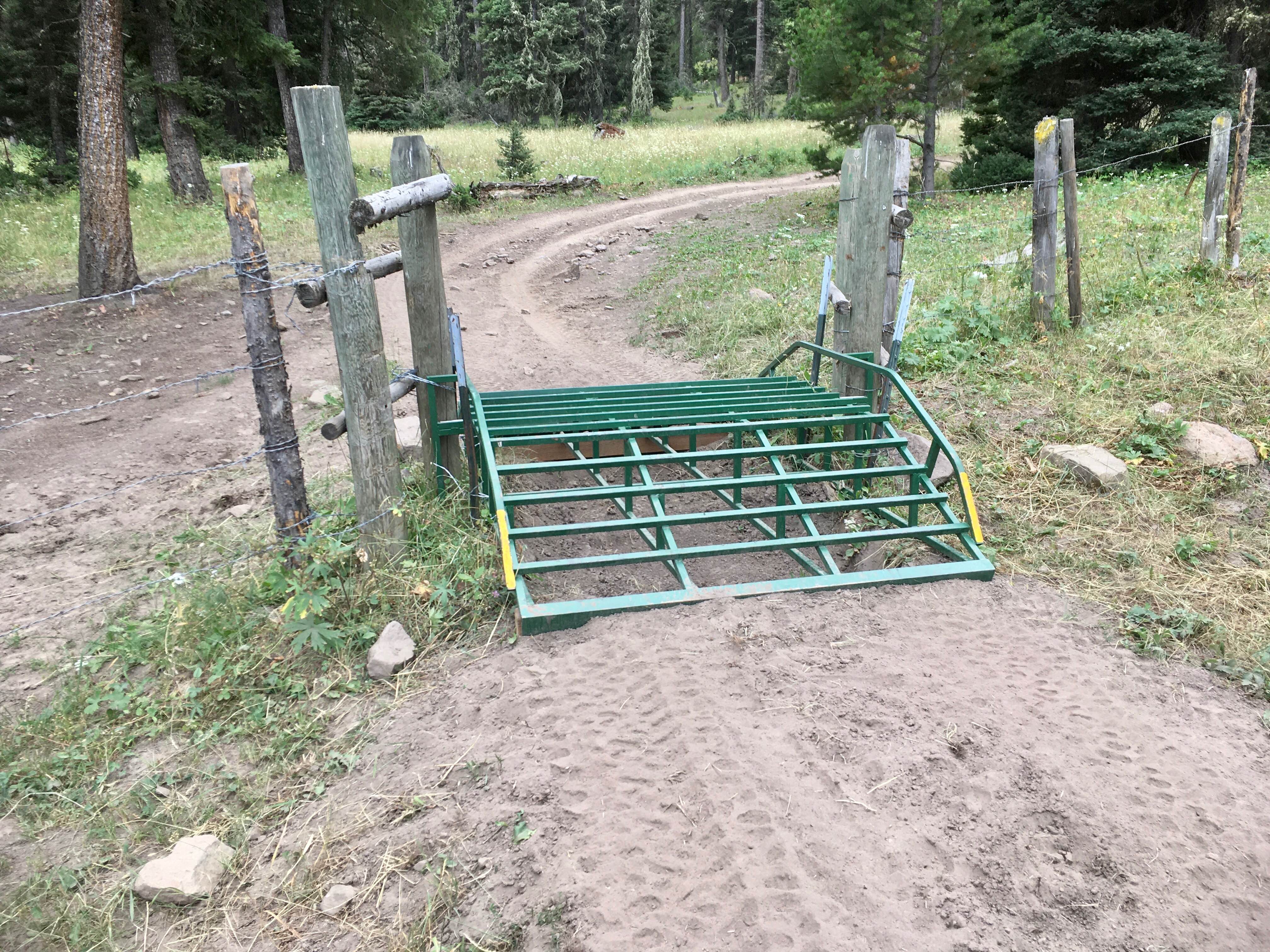
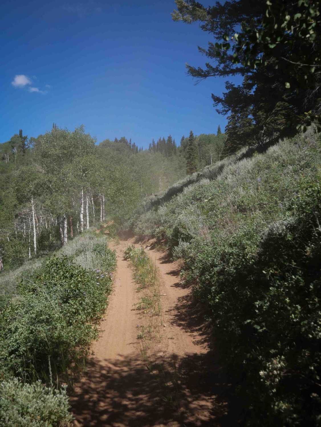
Trail Overview
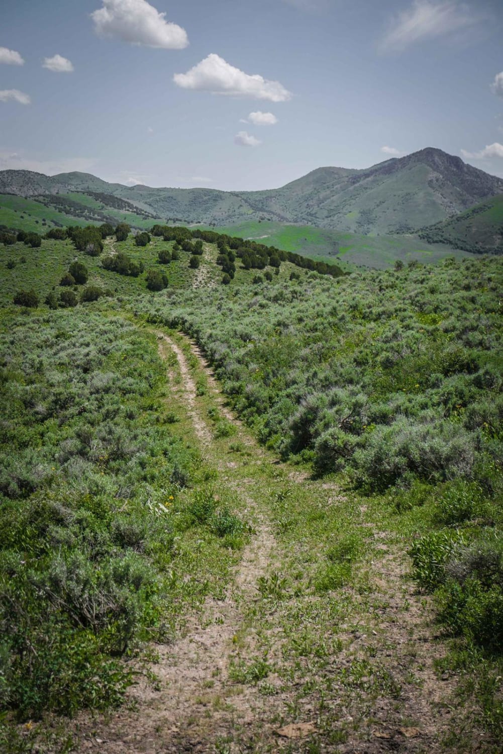
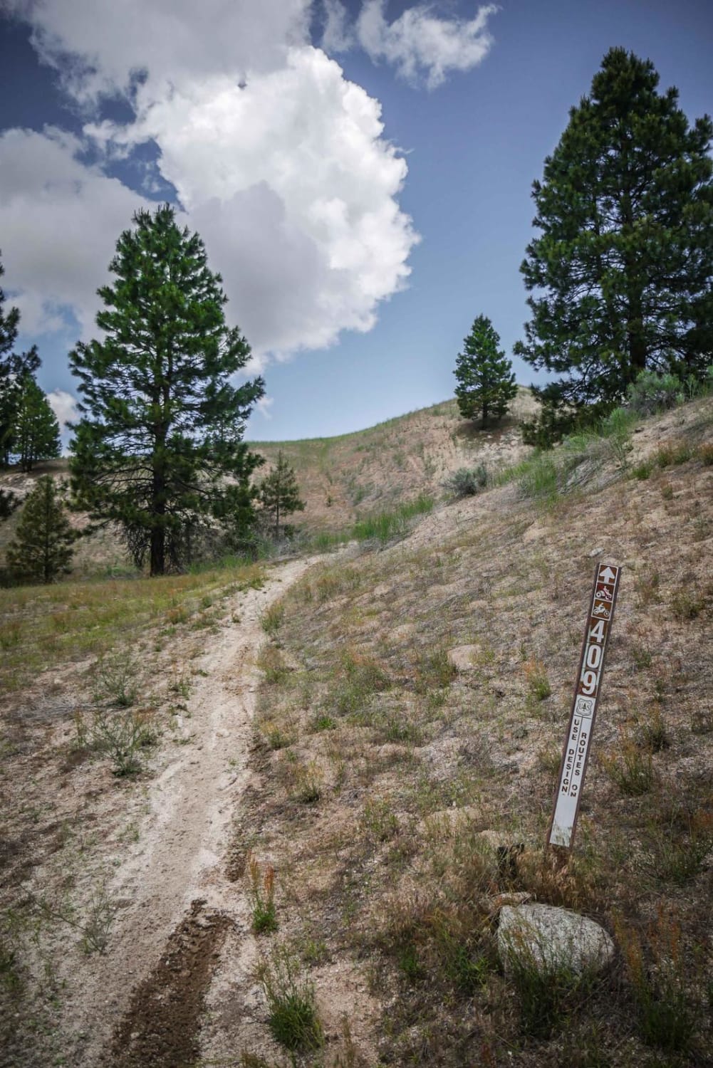
This out-and-back trail starts pretty easy, then gets very narrow. The first out and back finger ends abruptly at a small hiking trail. Larger SXS will want to use the turnaround/camping spot before they get to the end, as they will have to reverse to get back to it. The next trail finger ends at a large downed tree and mounded dirt pile. The map shows a loop that no longer exists. Anything past the end of the recorded trail must be done on foot. Be prepared for downed trees, tall grasses, and narrow sections. Be aware of large tree sections and boulders hiding in the tall grass. The further along you go, the narrower the trail gets. This trail is only for ATV or moto as you get closer to the top. There is no cell service on this trail.
Photos of Echo Peak OHV
Difficulty
Narrow sections, off camber, watch for downed trees and large boulders hiding in tall grass
Echo Peak OHV can be accessed by the following ride types:
- ATV (50")
- Dirt Bike
Echo Peak OHV Map
Popular Trails
Lone Pine Pass ATV Trail
Webster Ridge #5110
Deep Creek/White Canyon
The onX Offroad Difference
onX Offroad combines trail photos, descriptions, difficulty ratings, width restrictions, seasonality, and more in a user-friendly interface. Available on all devices, with offline access and full compatibility with CarPlay and Android Auto. Discover what you’re missing today!