Cedar Creek
Total Miles
4.0
Technical Rating
Best Time
Spring, Summer, Fall
Trail Type
Single Track
Accessible By
Trail Overview
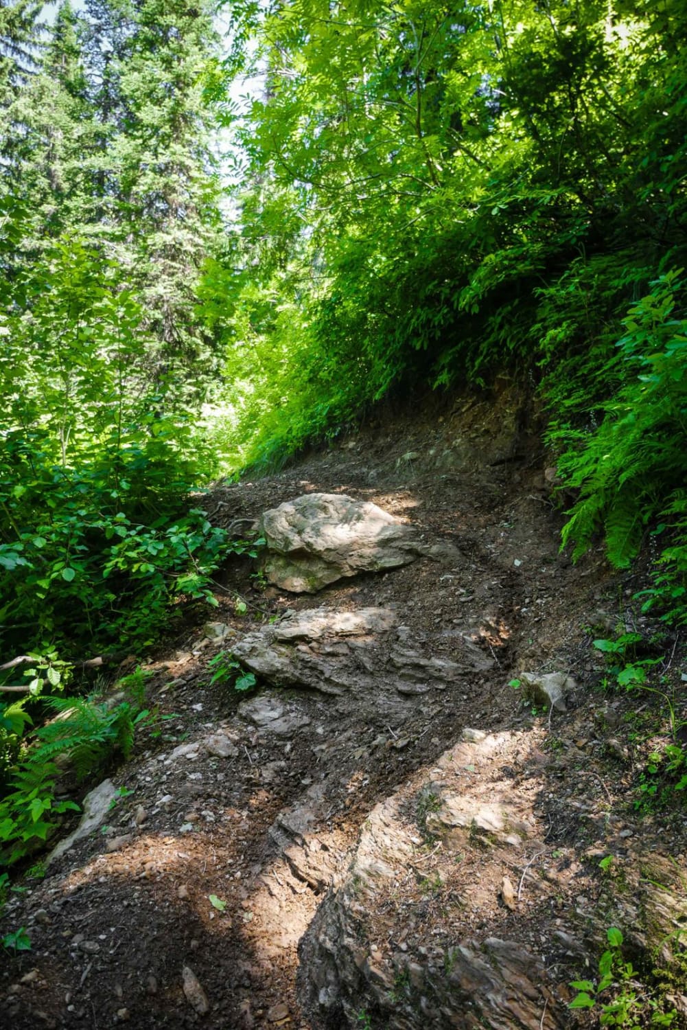
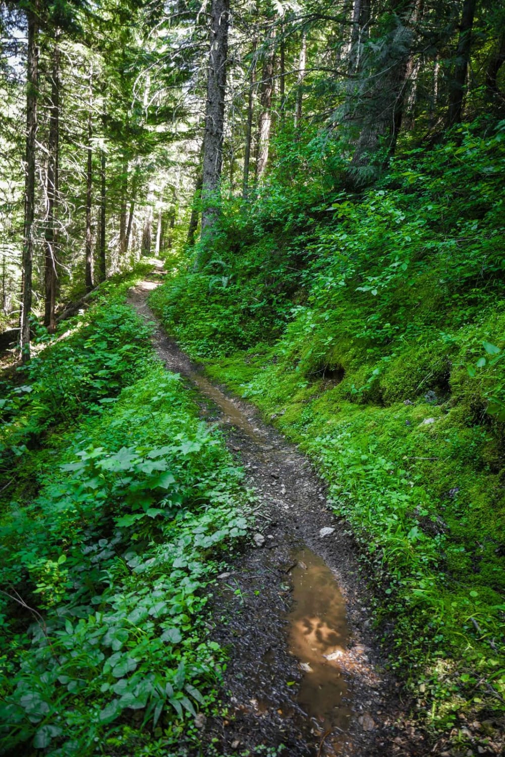
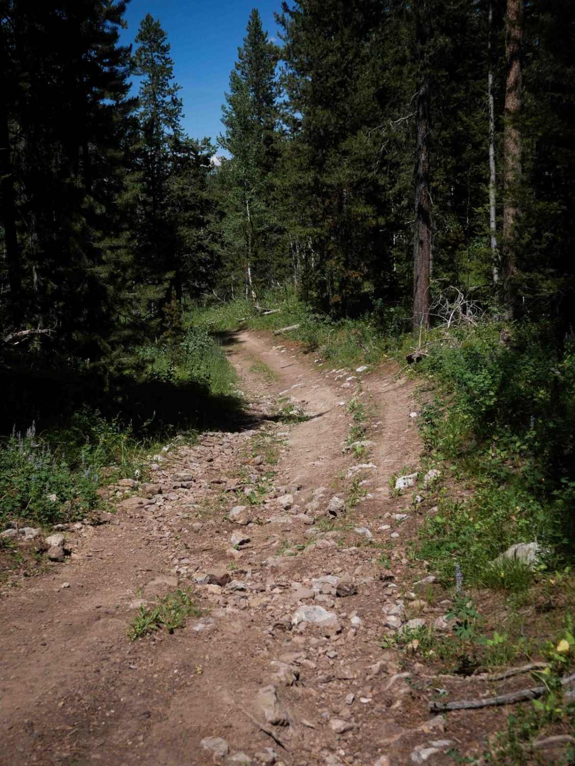
Cedar Creek is a narrow trail side-hilling the whole way down from Dunn Peak Road until Slate Creek Road, dropping 2,000 feet in 4 miles. It has sections with mild exposure, and sections with pretty significant exposure as it side-hills along a lush and overgrown hillside inside a dense forest. There's a rocky creek crossing that is pretty smooth and less than a foot deep, and one stream crossing on an inside of a turn next to a waterfall that is really neat. There is also one rock obstacle on a steep hill creating some ledges near the south end of the trail. This trail is one of the more popular routes in this trail system, so the trail has some brake bumps and is a bit troughed. The trail is typically clear of any logs since is a popular route that riders take to connect from Wallace to Avery.
Photos of Cedar Creek
Difficulty
Intermediate trail due to significant exposure in sections, and one rock obstacle.
Status Reports
Cedar Creek can be accessed by the following ride types:
- Dirt Bike
Cedar Creek Map
Popular Trails
Long Canyon Road
Cold Springs/Upper Dry Valley #5206
Middle Skills

Yellow Pine Ridge
The onX Offroad Difference
onX Offroad combines trail photos, descriptions, difficulty ratings, width restrictions, seasonality, and more in a user-friendly interface. Available on all devices, with offline access and full compatibility with CarPlay and Android Auto. Discover what you’re missing today!