Appendicitis Hill Spur 2
Total Miles
0.6
Technical Rating
Best Time
Spring, Summer, Fall
Trail Type
High-Clearance 4x4 Trail
Accessible By
Trail Overview
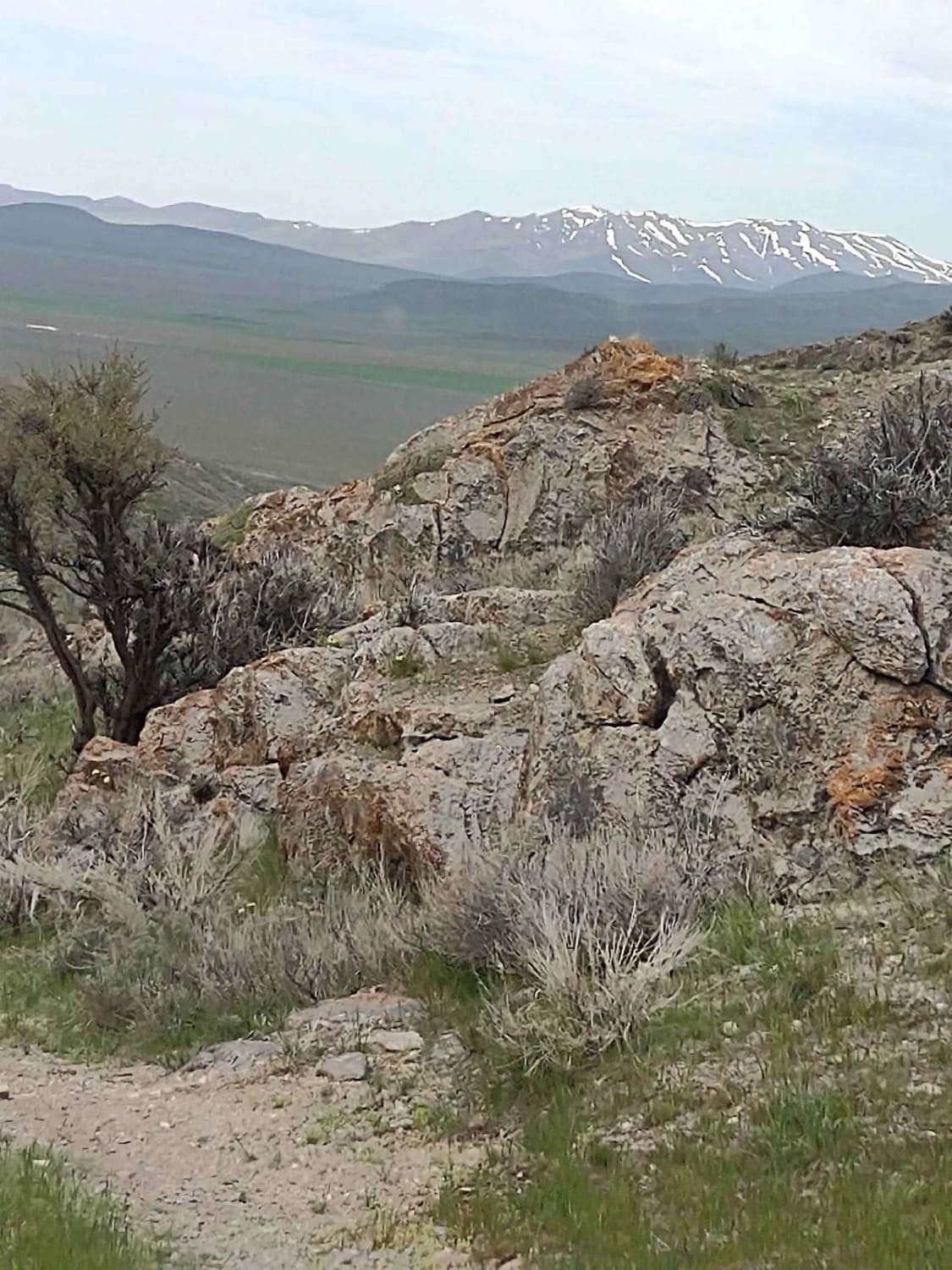
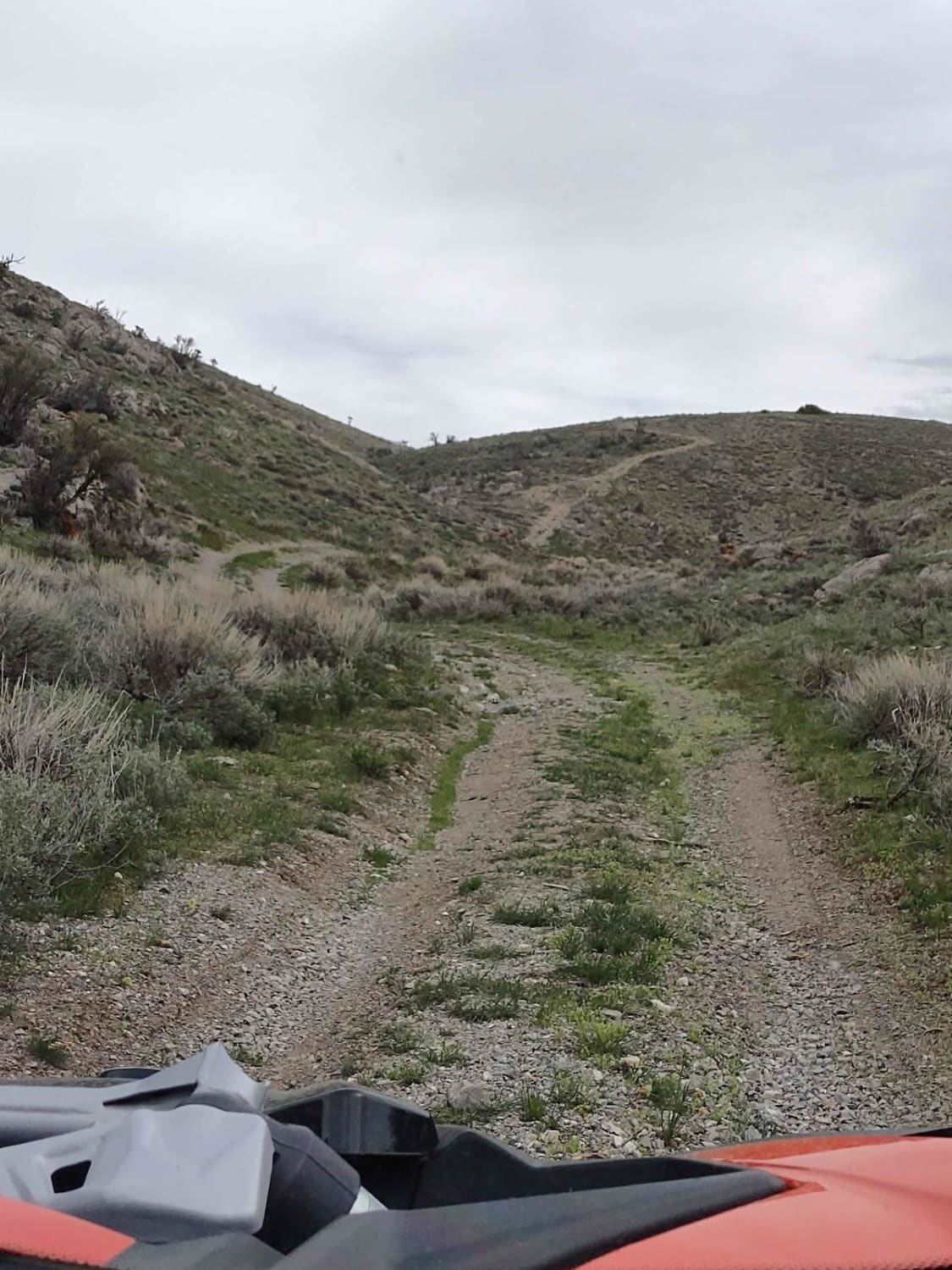
This half-mile spur into the Appendicitis Hill Wilderness Study Area takes you to 6381 feet. Opportunities for backpacking, hiking, wildlife viewing, climbing, sightseeing, and photography are available here. The area is steep and rugged, so some of these activities are challenging. The views from the high ridges and peaks are spectacular.
Photos of Appendicitis Hill Spur 2
Difficulty
An easy trail that may have snow or mud if it's too early in the spring or it's recently rained.
History
Appendicitis Hill got its name from a USGS surveyor, T.M. Bannon, who suffered an attack of appendicitis while surveying the peak. BLM manages roughly 22K acres in the Appendicitis Hill Wilderness Study Area. This area also includes Crawford Peak, at 8500 feet, overlooking Antelope Valley.
Status Reports
Appendicitis Hill Spur 2 can be accessed by the following ride types:
- High-Clearance 4x4
- SxS (60")
- ATV (50")
- Dirt Bike
Appendicitis Hill Spur 2 Map
Popular Trails
Badger Mountain
Wind River- NF 1614

The onX Offroad Difference
onX Offroad combines trail photos, descriptions, difficulty ratings, width restrictions, seasonality, and more in a user-friendly interface. Available on all devices, with offline access and full compatibility with CarPlay and Android Auto. Discover what you’re missing today!