Along The Edge
Total Miles
8.0
Technical Rating
Best Time
Spring, Summer, Fall
Trail Type
60" Trail
Accessible By
Trail Overview
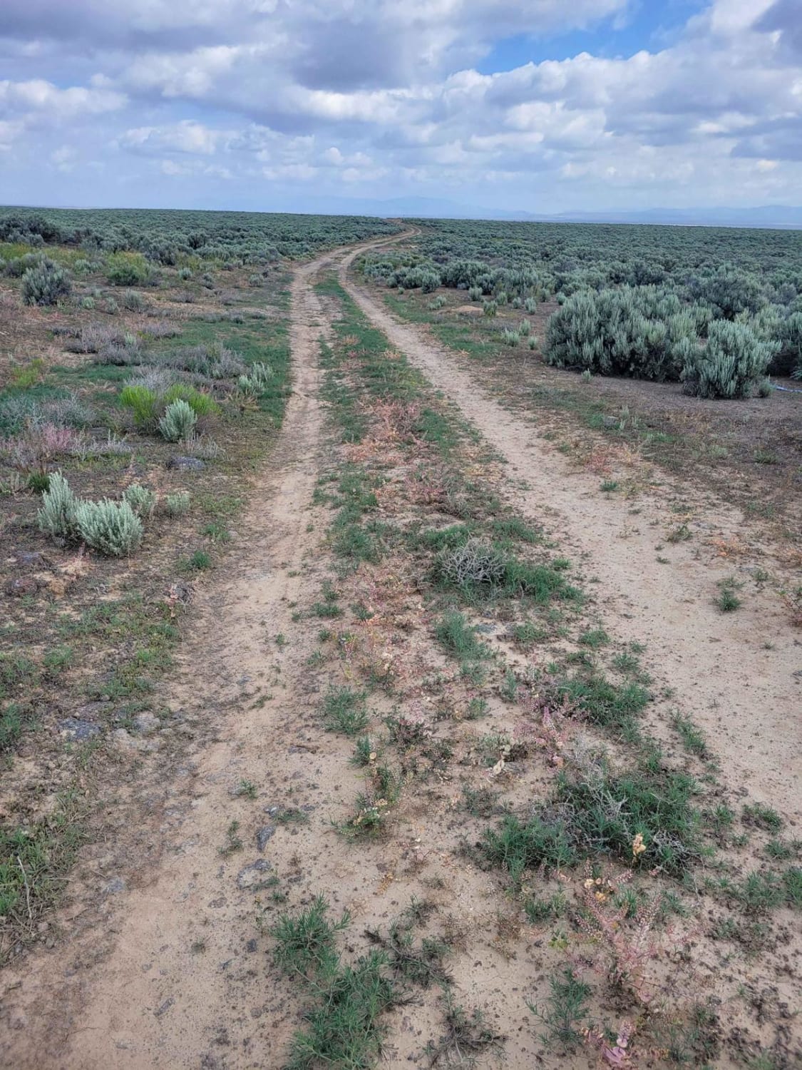
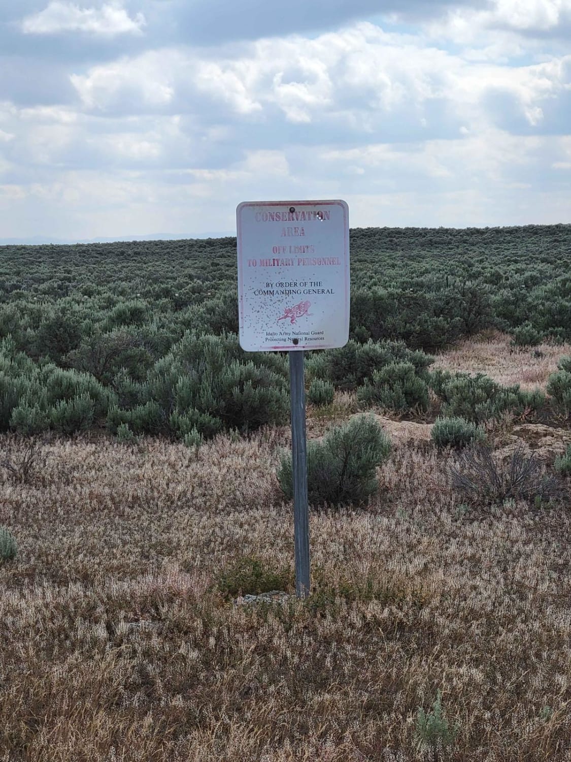
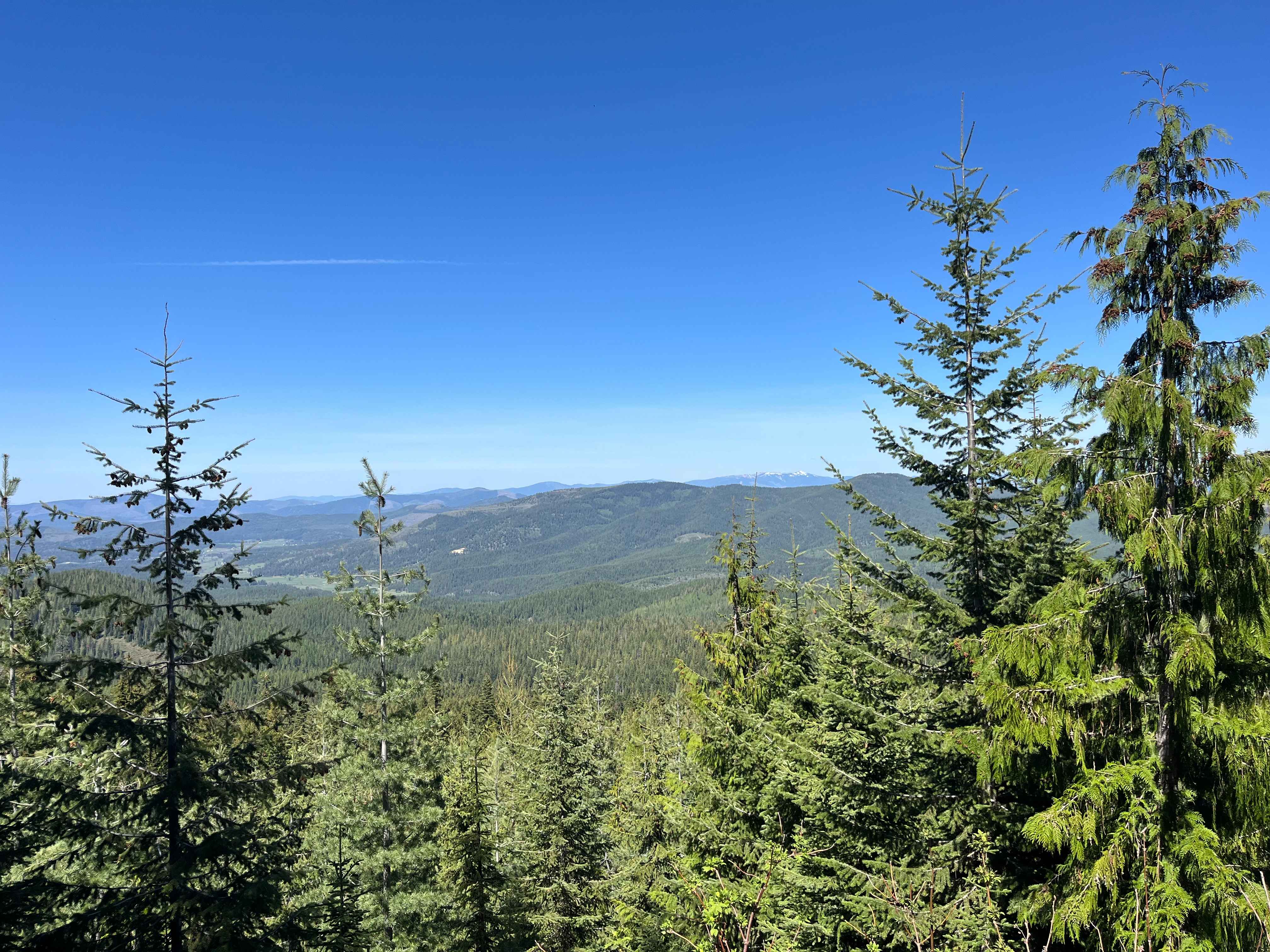
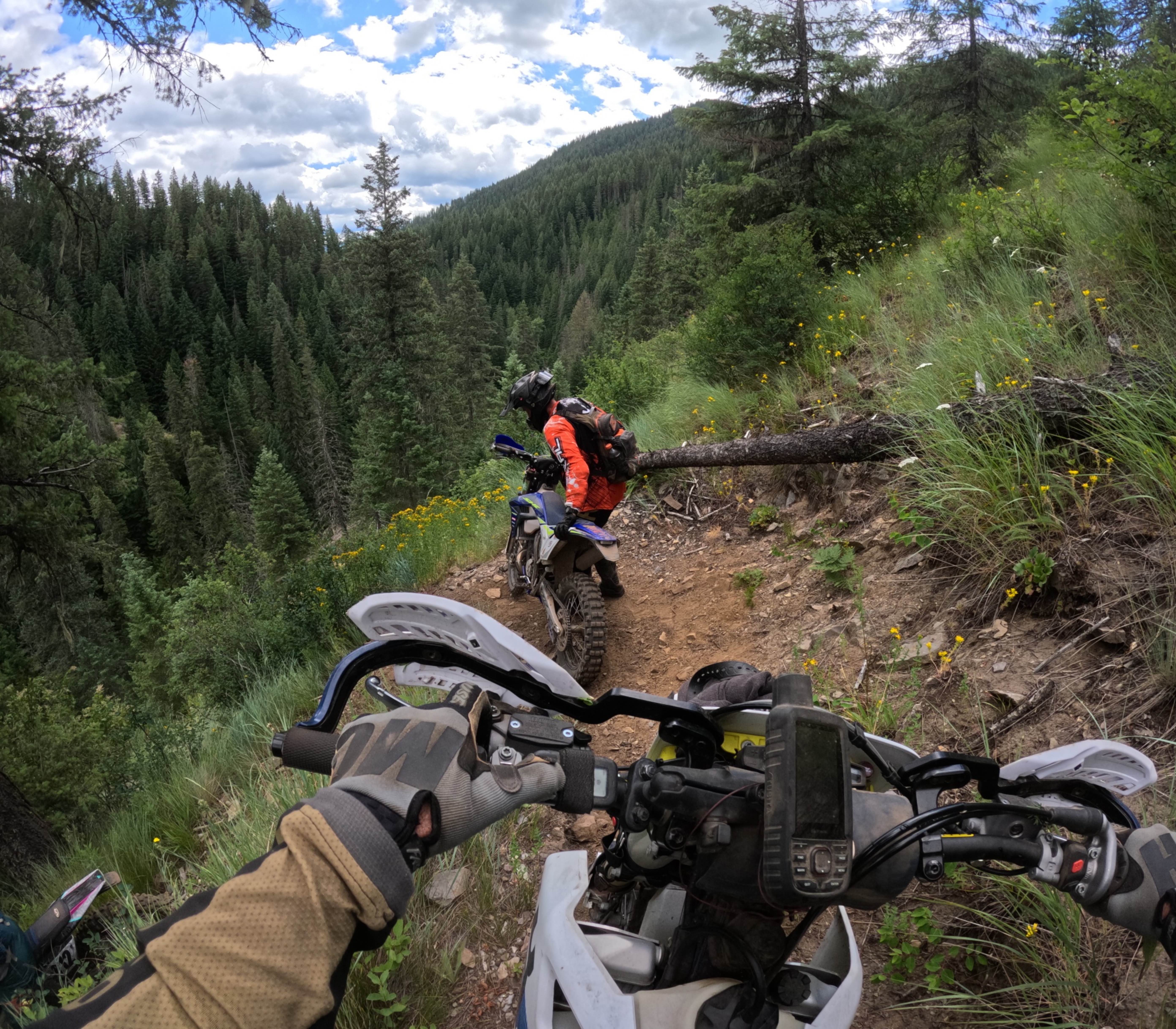
Another connecting trail to many of the others in the area, this one leads right along the fence line and, at one point, along the edge of the railroad tracks. At times the trail becomes not as defined, assuming it doesn't get much traffic. It is uneven, rutted/eroded in places, and has some rocky patches here and there. After a good rain storm, water/mud will be present on the trail. Keep an eye out for roaming livestock. Respect all posted signs: "Conservation Area" or Military signs.
Photos of Along The Edge
Difficulty
It is uneven, rutted / eroded in places, and has some rocky patches here and there. After a good rain storm, water/mud will be present on trail.
Status Reports
Along The Edge can be accessed by the following ride types:
- SxS (60")
- ATV (50")
- Dirt Bike
Along The Edge Map
Popular Trails
Dam Ridge ATV
FS 3940 Cutoff Trail
Bronson Meadows Loop
The onX Offroad Difference
onX Offroad combines trail photos, descriptions, difficulty ratings, width restrictions, seasonality, and more in a user-friendly interface. Available on all devices, with offline access and full compatibility with CarPlay and Android Auto. Discover what you’re missing today!