301
Total Miles
1.7
Technical Rating
Best Time
Fall, Summer, Spring
Trail Type
Single Track
Accessible By
Trail Overview
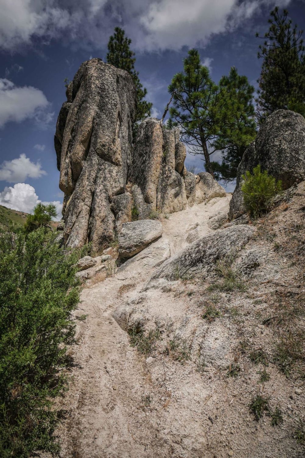
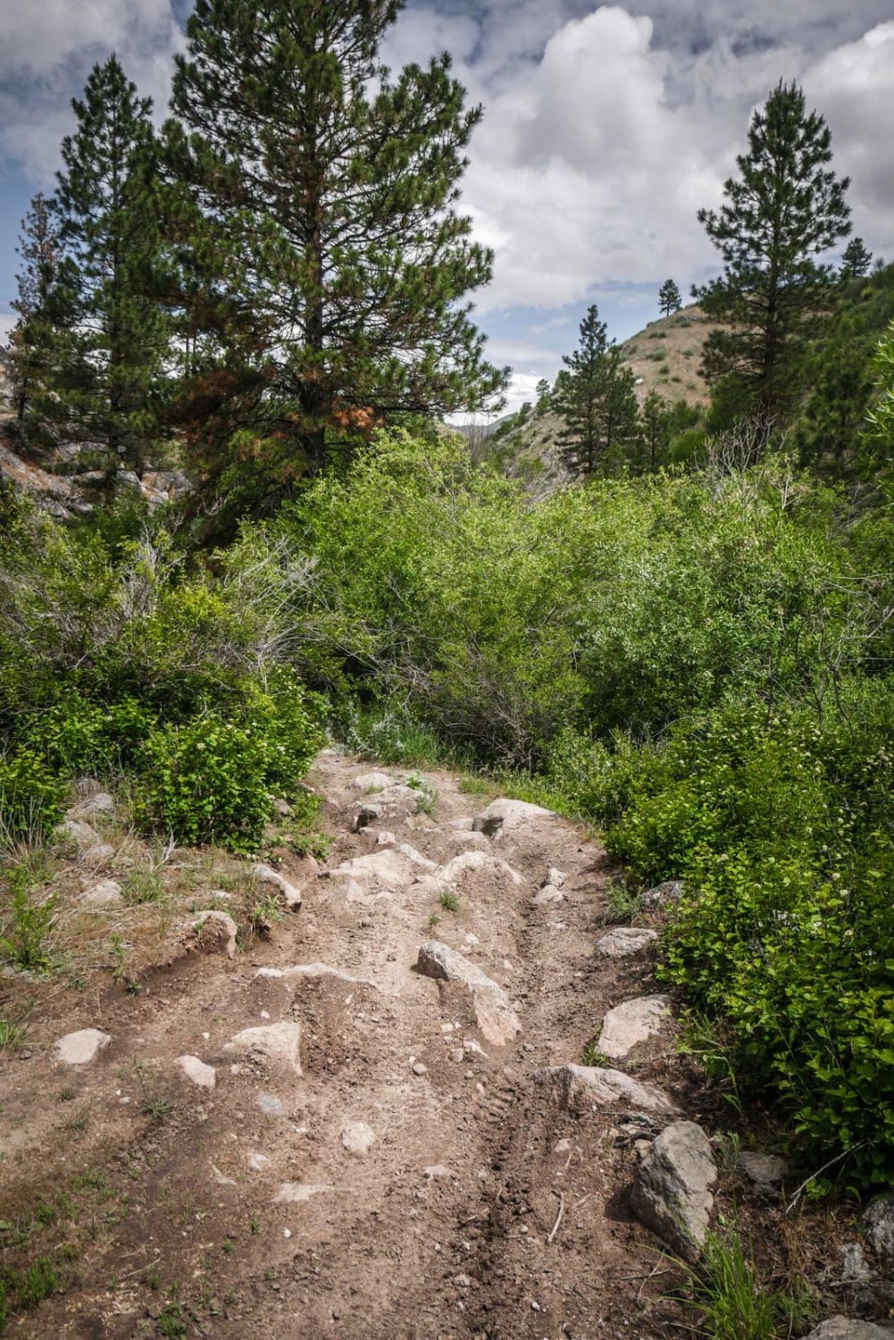
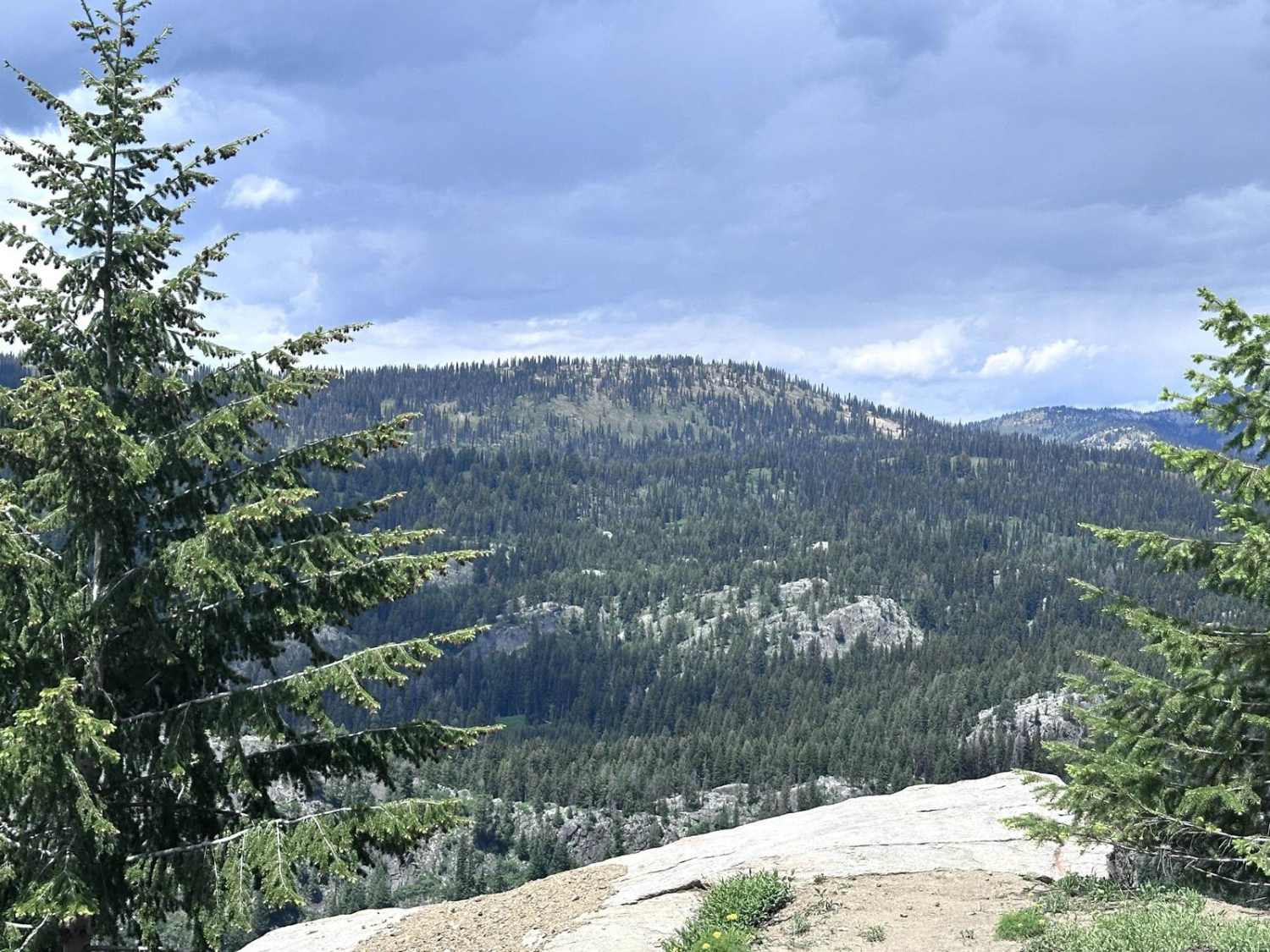
Danskin #301 is a challenging single track in the Boise National Forest full of creek crossings, rock obstacles, and narrow shelfy trail sections. Throughout the trail, it has about 6 creek crossings. The creek crossings themselves are smooth with some rocks, but sometimes there is a rocky section leading into the crossing which makes it more difficult. Each creek crossing is also through a very overgrown wooded section with many branches hanging low, almost like a tunnel. Part of the trail goes next to the creek with lots of shade from the trees, or elevated above the creek on a narrow trail, while other parts of the trail climb out from the creek onto a dry shelf hillside. It goes up and down several spines, requiring some side-hilling, and through some rock outcroppings. Sometimes there are two trails up and over the spines, and the lower trail is easier. One of the upper trails has a big four-foot-high rock creating a challenging obstacle. The north end of the trail continues up a ravine until it ends, while the south end of the trail connects to Danskin #300.
Photos of 301
Difficulty
This is a challenging intermediate trail due to narrow shelfy sections, rock obstacles, and many creek crossings.
Status Reports
301 can be accessed by the following ride types:
- Dirt Bike
301 Map
Popular Trails

Road 374 - Southern Portion

Uncle Ike Trail

Little Blacktail Trail
Goose Lake Road
The onX Offroad Difference
onX Offroad combines trail photos, descriptions, difficulty ratings, width restrictions, seasonality, and more in a user-friendly interface. Available on all devices, with offline access and full compatibility with CarPlay and Android Auto. Discover what you’re missing today!