St. Johns River WMD West
Total Miles
6.2
Technical Rating
Best Time
Spring, Fall, Winter
Trail Type
Full-Width Road
Accessible By
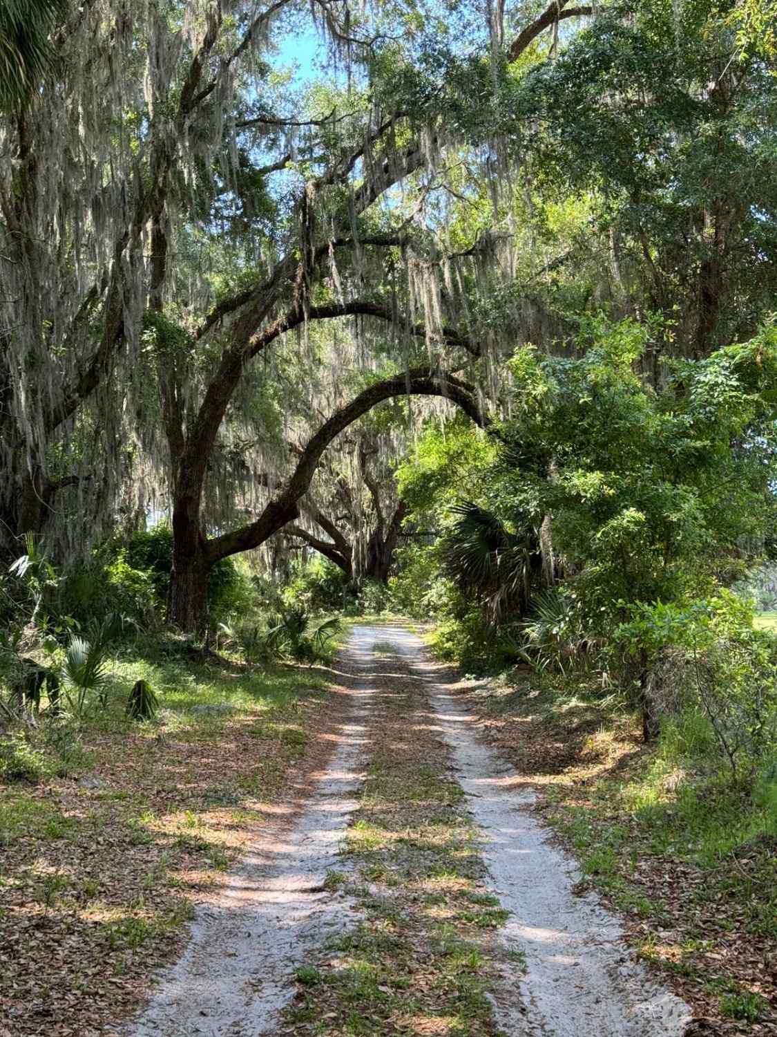
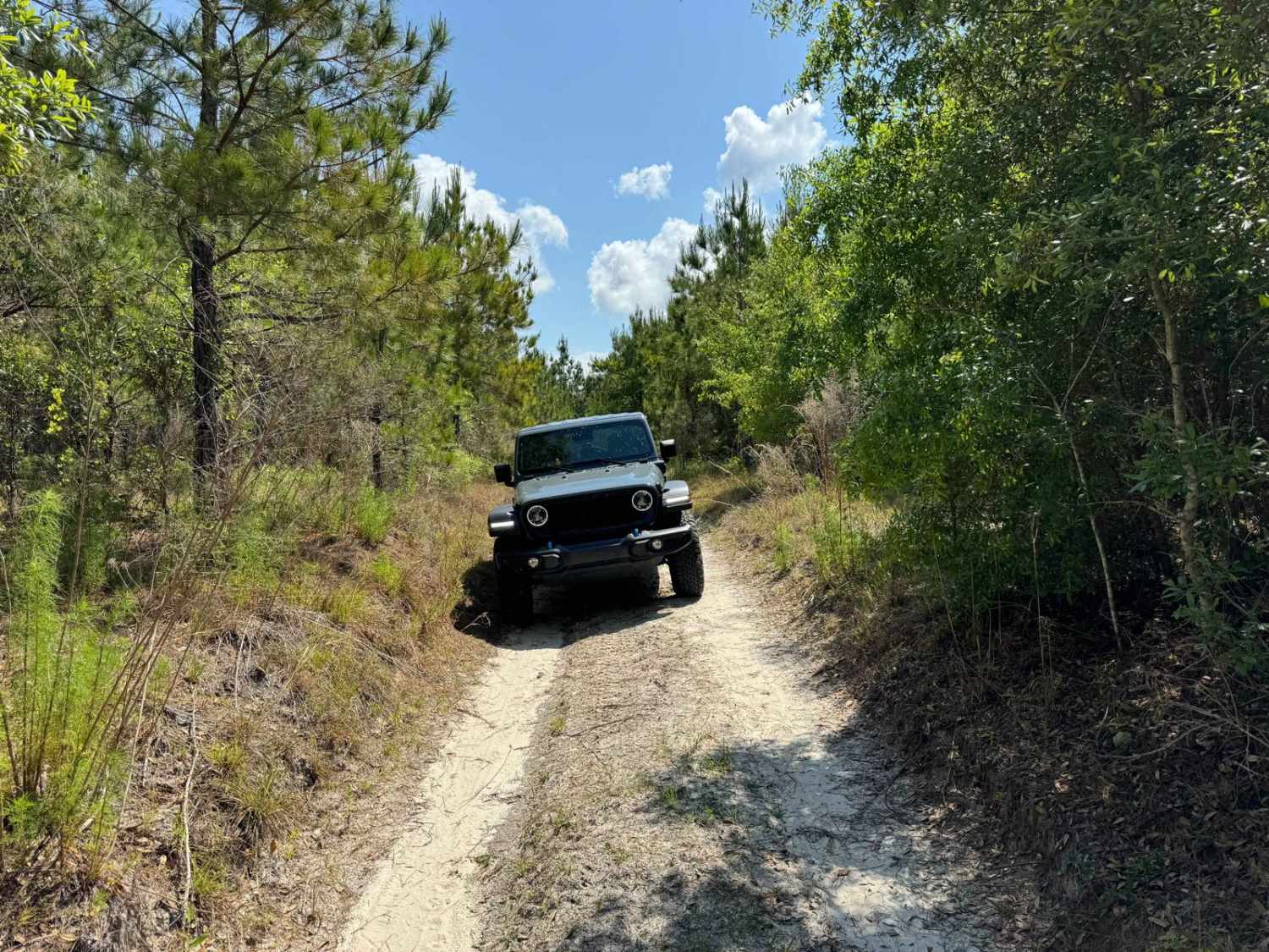
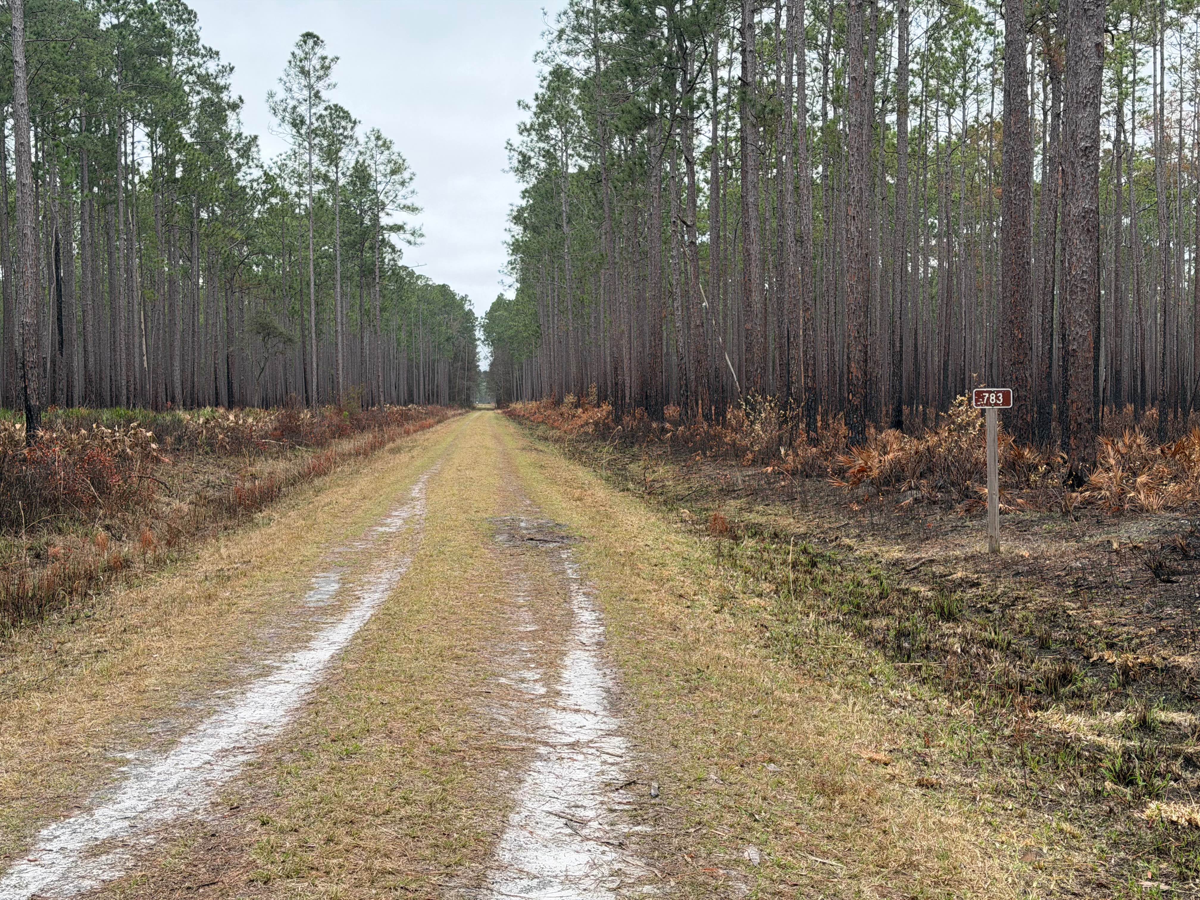
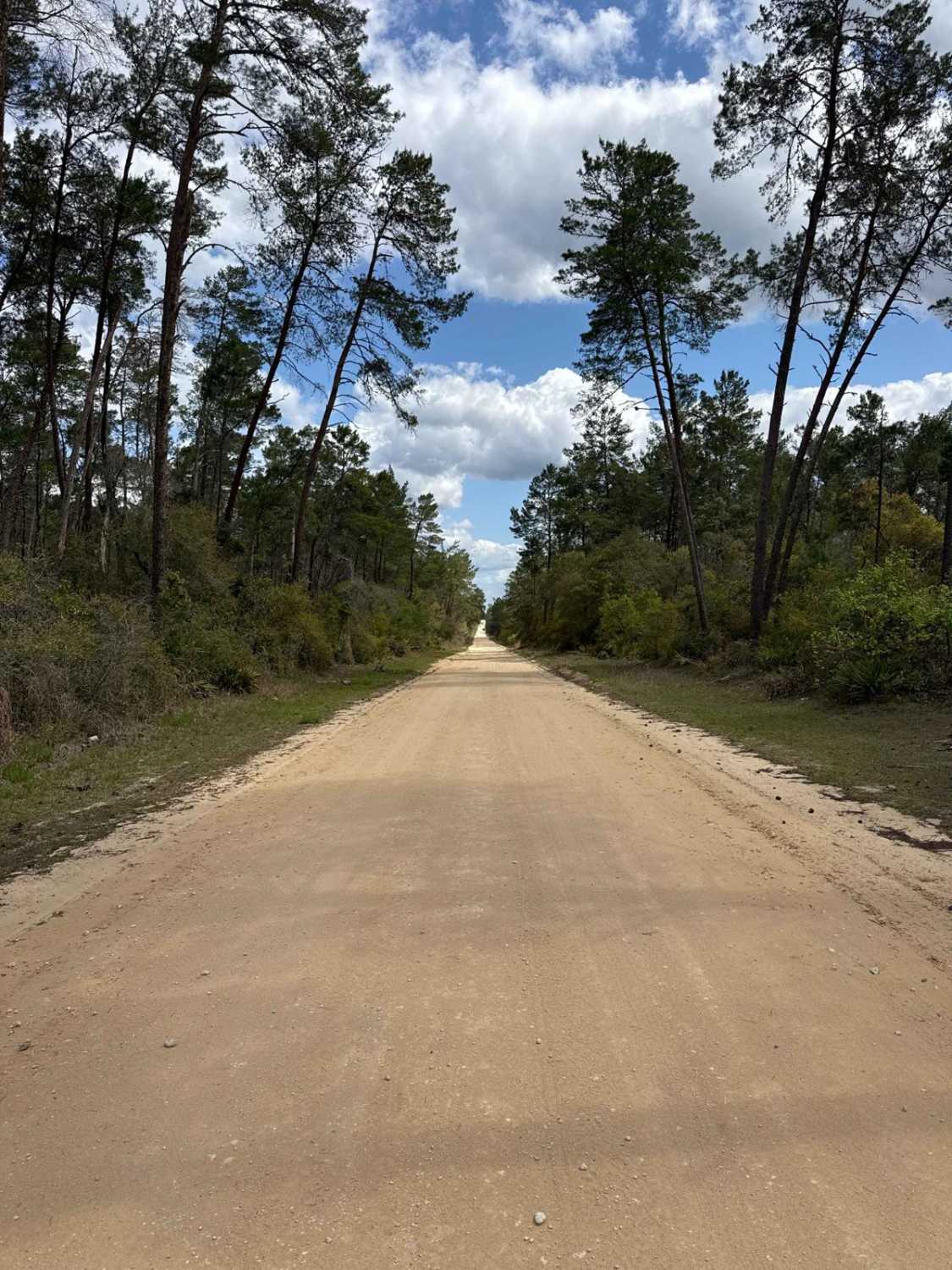
Trail Overview
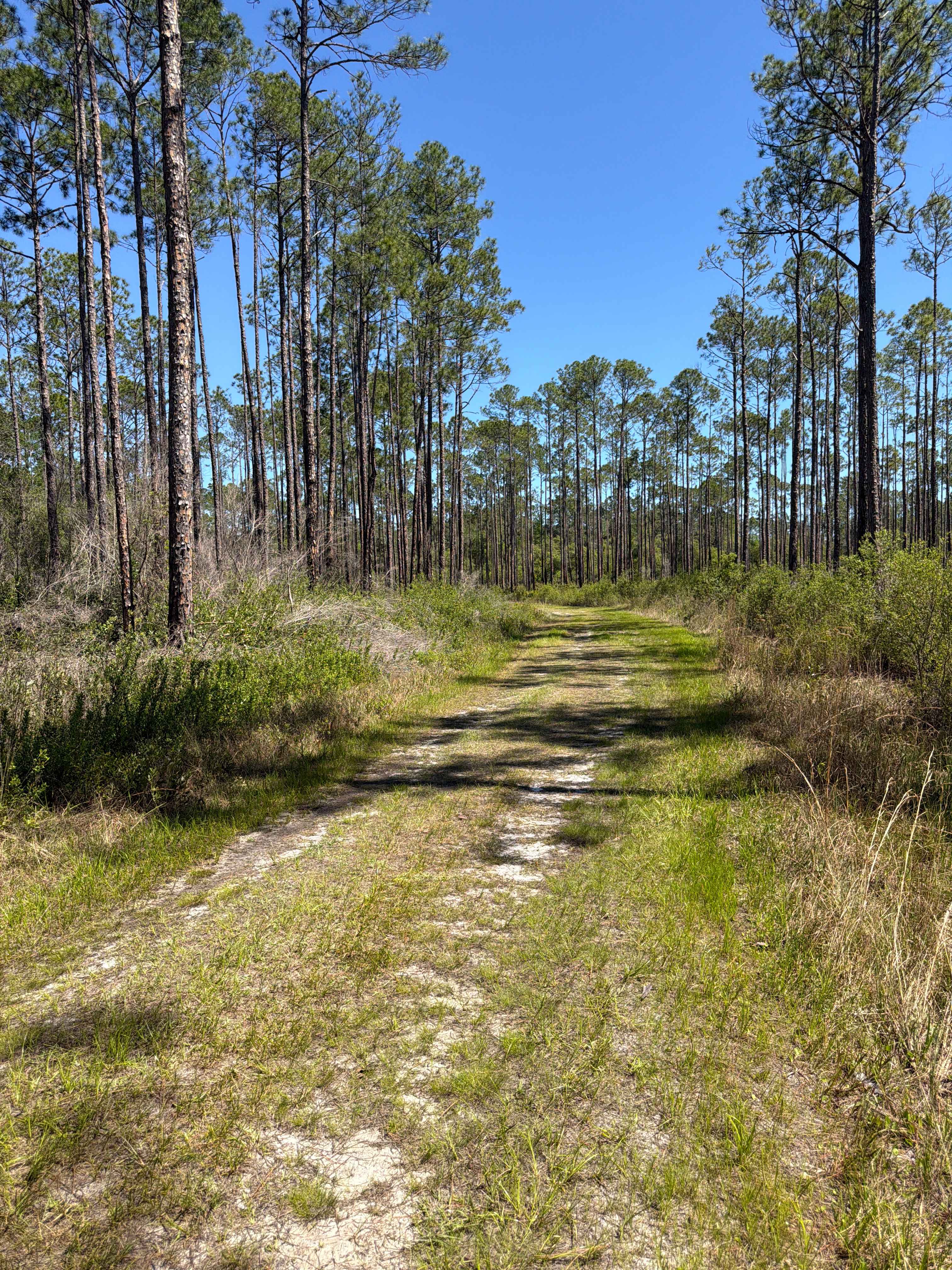
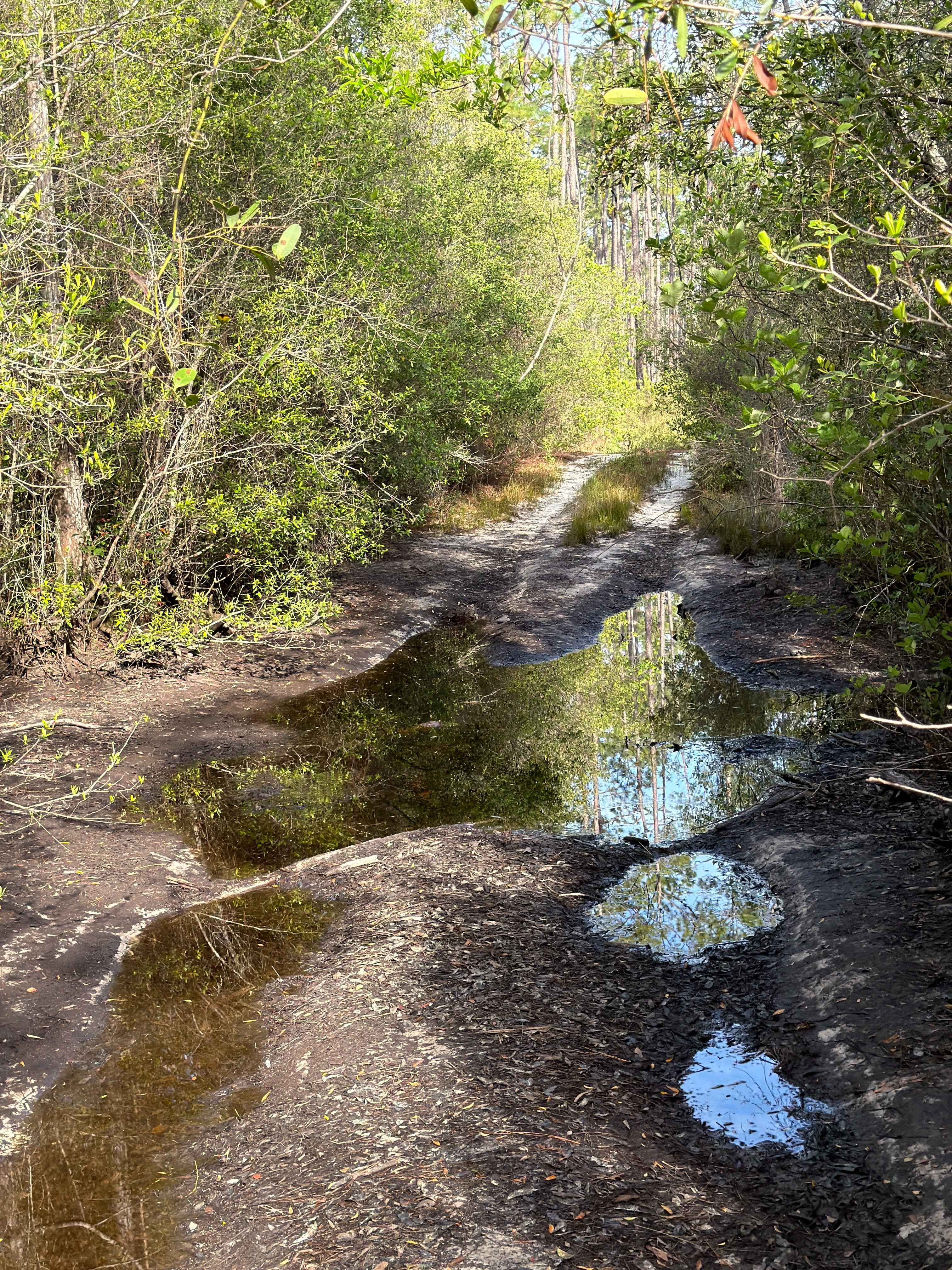
St. Johns River WMD West connects CR 325 with CR 346. The road conditions are a mixture of packed sand, loose sand, and some deep holes that can turn into 2-foot-deep mud holes after rainy days. Some sections require 4WD and high clearance is recommended. The road is very narrow in some sections. Don't take this road if you're not okay with limbs touching your vehicle. OHVs are not permitted in this area.
Photos of St. Johns River WMD West
Difficulty
The road conditions are a mixture of packed sand, loose sand, and some deep holes that can turn into 2-foot-deep mud holes after rainy days. Some sections require 4WD and high clearance is recommended. The road is very narrow in some sections. Don't take this road if you're not okay with limbs touching your vehicle.
Status Reports
St. Johns River WMD West can be accessed by the following ride types:
- High-Clearance 4x4
- SUV
- Dirt Bike
St. Johns River WMD West Map
Popular Trails
Eaton Creek - ONF 1
Indian Creek - FS 176
The onX Offroad Difference
onX Offroad combines trail photos, descriptions, difficulty ratings, width restrictions, seasonality, and more in a user-friendly interface. Available on all devices, with offline access and full compatibility with CarPlay and Android Auto. Discover what you’re missing today!