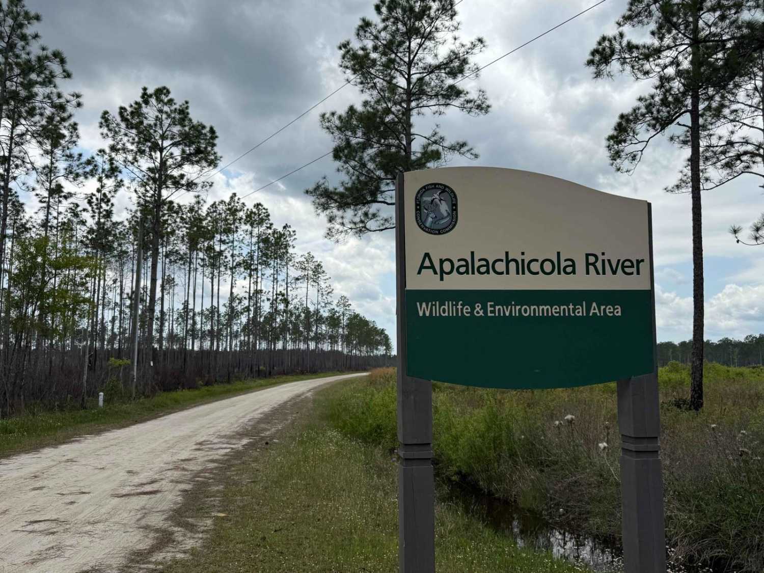
Road 16 - Three Lakes WMA
Total Miles
5.6
Technical Rating
Best Time
Spring, Fall, Winter
Trail Type
Full-Width Road
Accessible By
Trail Overview
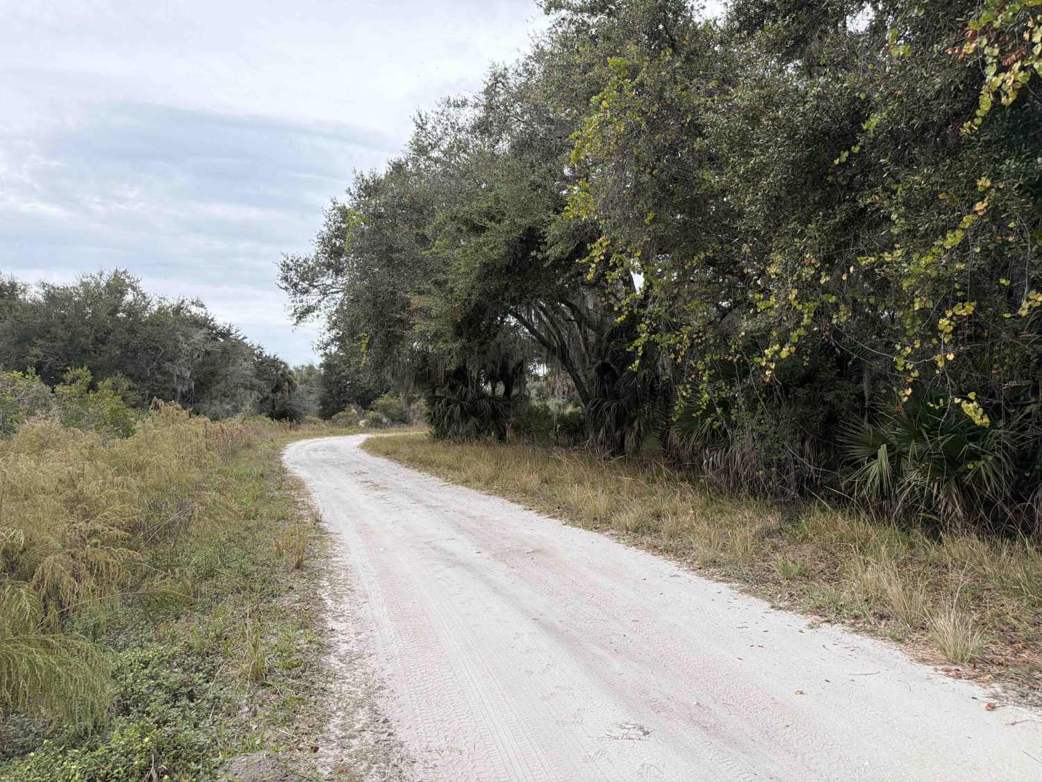
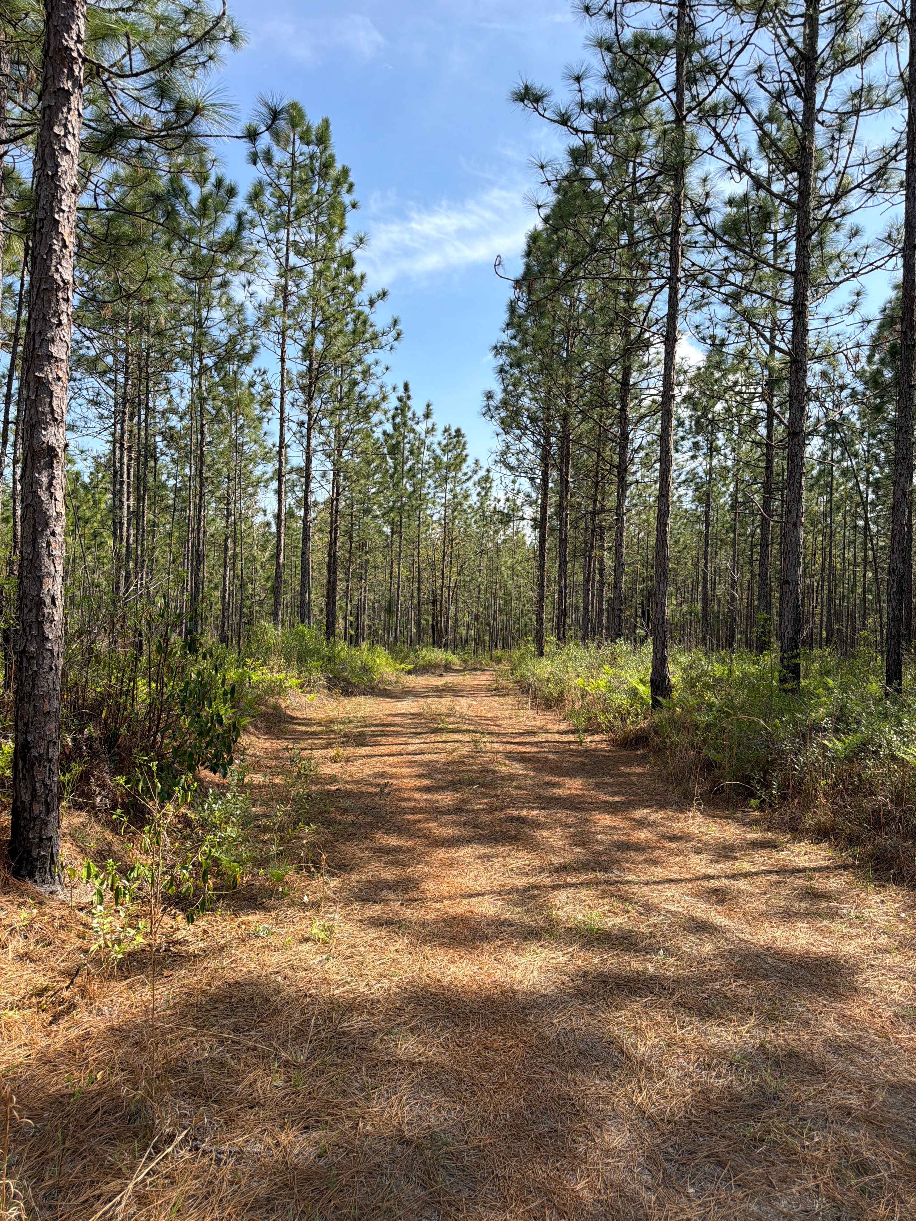
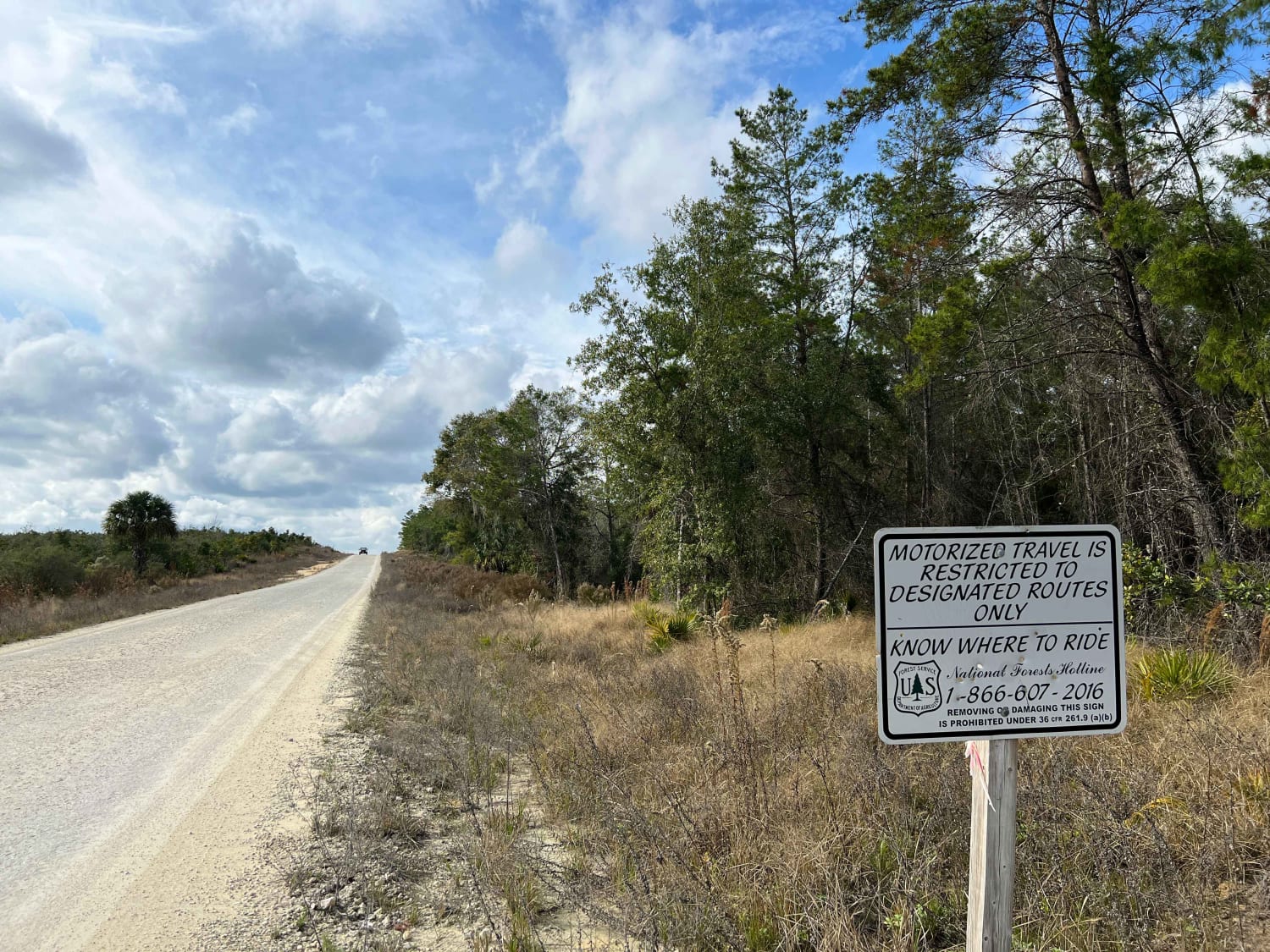
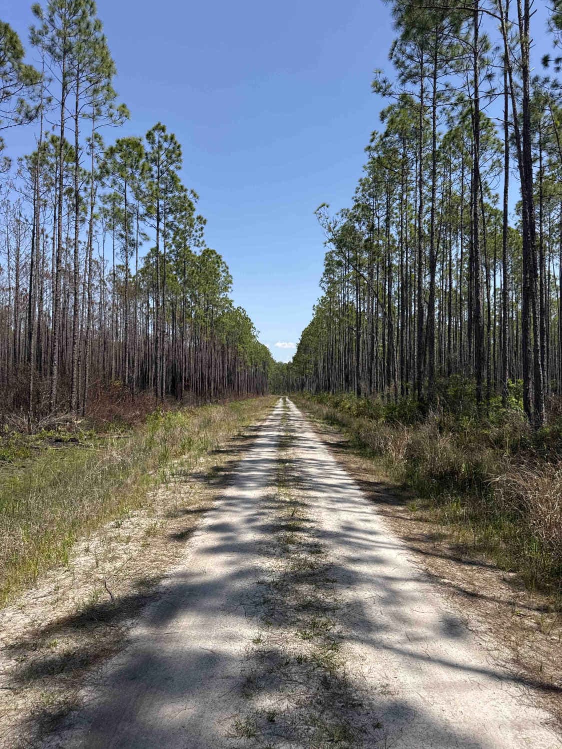
Road 16 is the northern part of the Prairie Lakes Road and connects Road 10 at the south end and State Route 523 at the north end of the trail. It is located in the southwest part of the Three Lakes WMA and gives you access to several trails in the area, a primitive boat ramp at the Jackson Canal, and a hiking trail to the Lake Marian Observation Platform. The road conditions are a mixture of packed sand, loose sand, and some deep holes that can turn into 2-foot deep mud holes after rainy days. The road is always wide enough for two vehicles to pass. 4WD and high clearance are recommended. All vehicles must be street legal. Three Lakes WMA comprises more than 63,000 acres of southern Osceola County, 25 miles southeast of St. Cloud. A daily-use or recreational permit is required to enter the Water Management Area.
Photos of Road 16 - Three Lakes WMA

Difficulty
This is an easy, non-technical trail unless after heavy rain. Wearing Orange is required during hunting season.
History
Three Lakes WMA was part of the last open range cattle ranching in the United States.
Status Reports
Road 16 - Three Lakes WMA can be accessed by the following ride types:
- High-Clearance 4x4
- SUV
- SxS (60")
- ATV (50")
- Dirt Bike
Road 16 - Three Lakes WMA Map
Popular Trails
Gardener Landing Road
North Cross
Bear Branch - Osceola NF 276
The onX Offroad Difference
onX Offroad combines trail photos, descriptions, difficulty ratings, width restrictions, seasonality, and more in a user-friendly interface. Available on all devices, with offline access and full compatibility with CarPlay and Android Auto. Discover what you’re missing today!