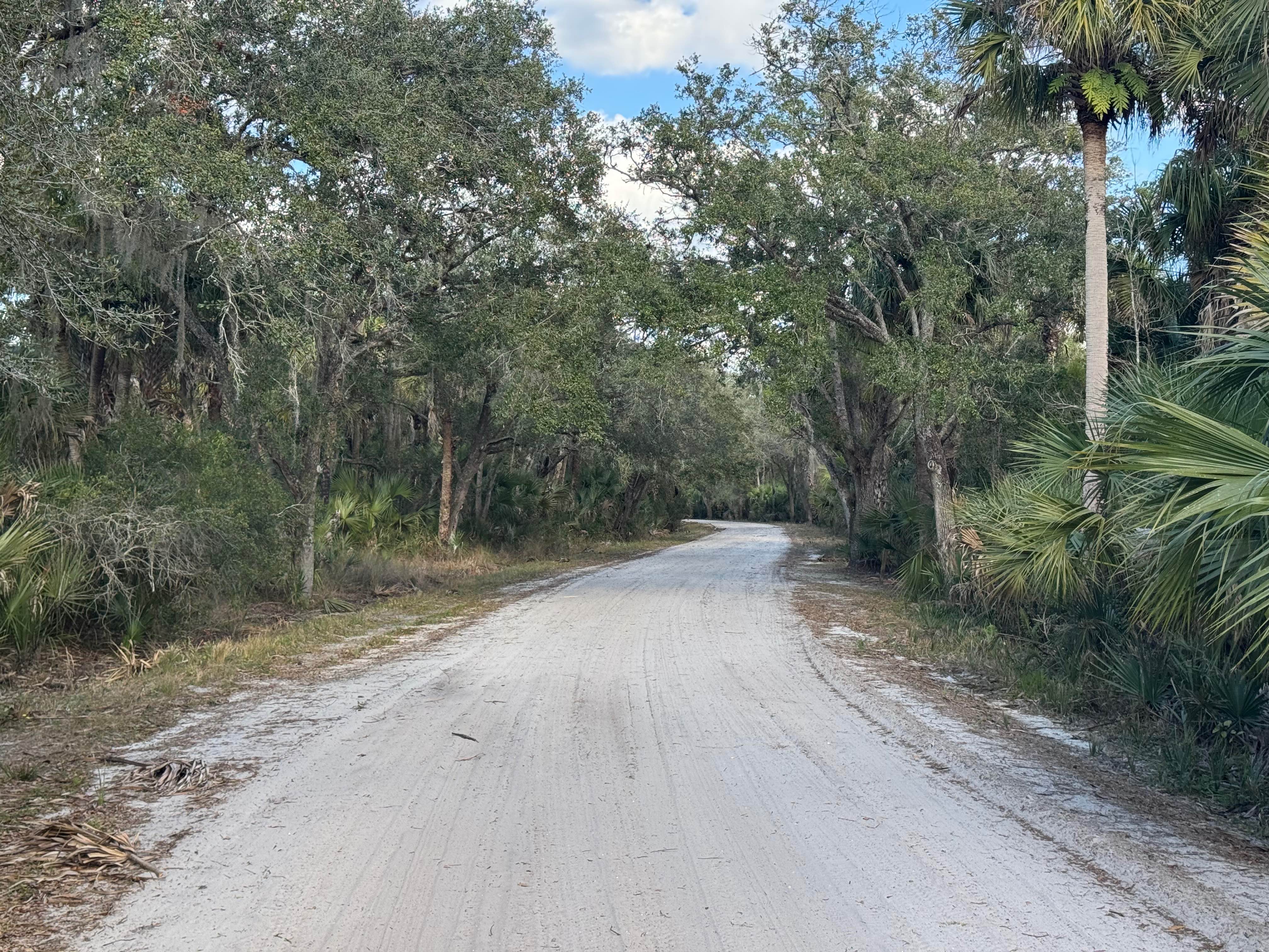
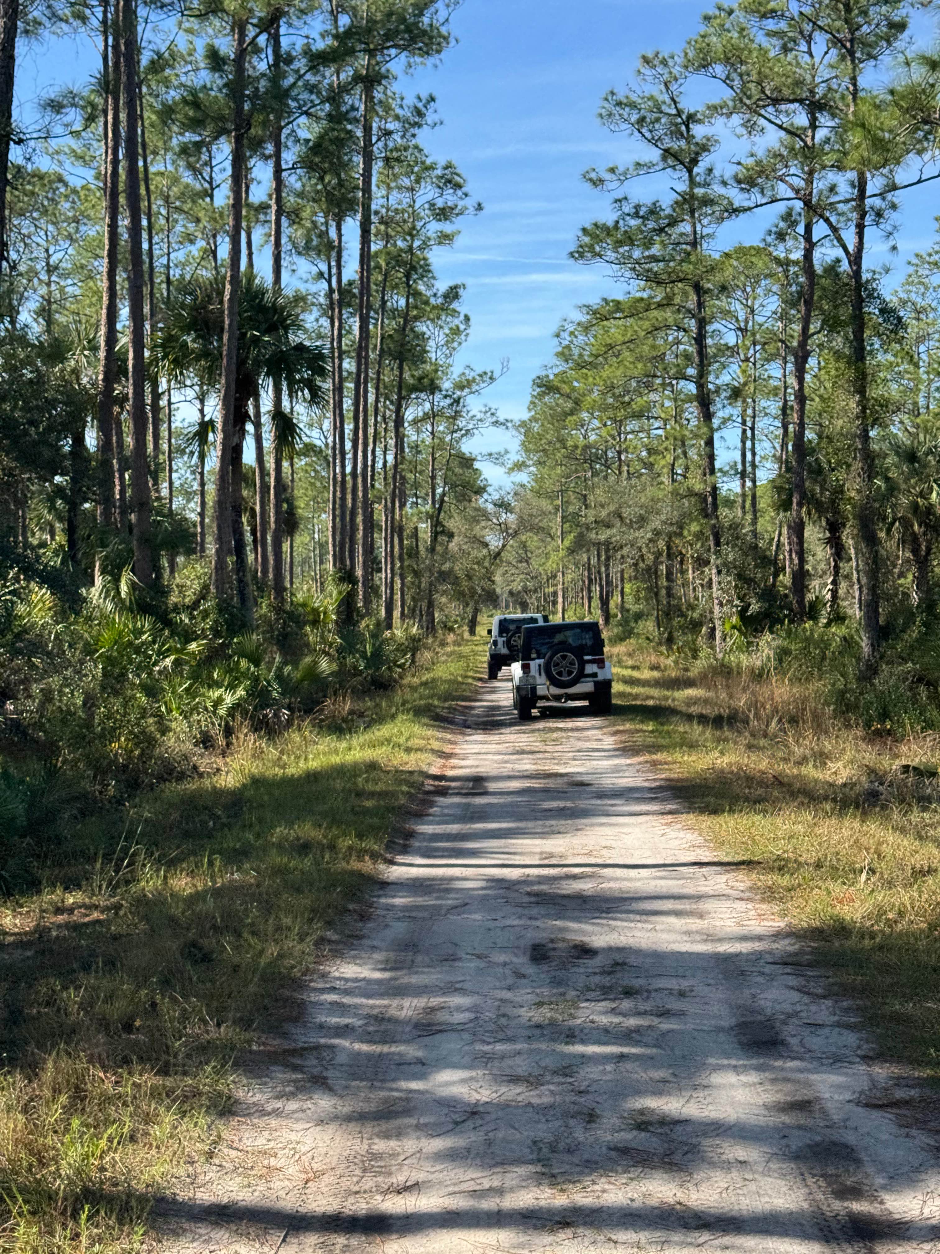
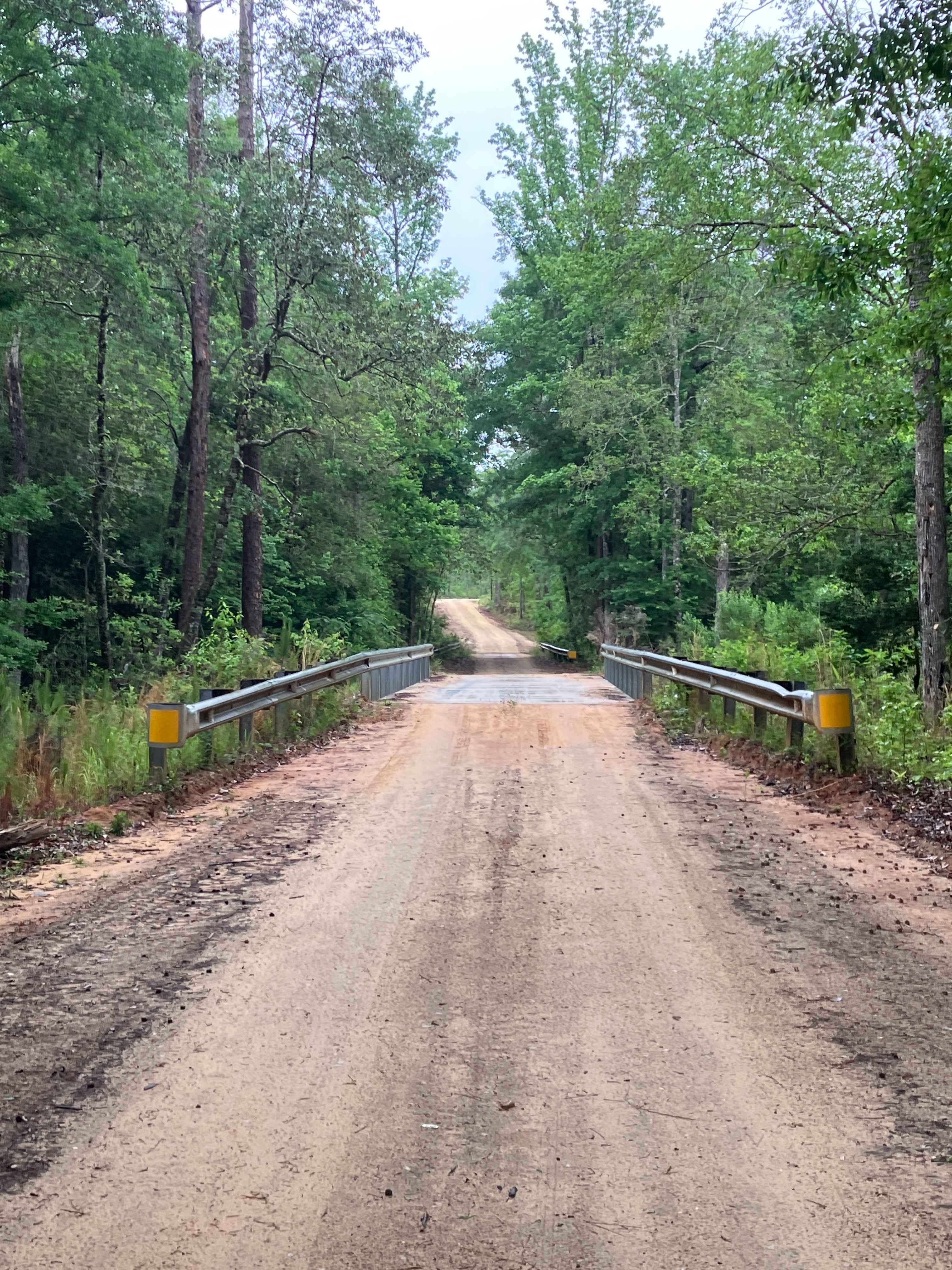
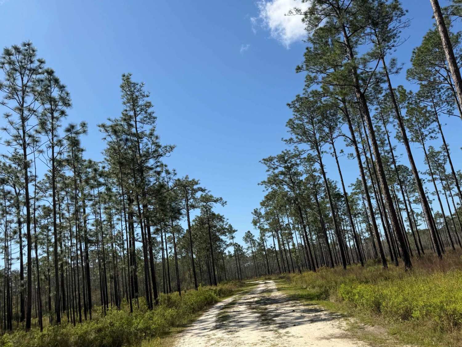
Long Bluff Road
Total Miles
5.6
Technical Rating
Best Time
Spring, Summer, Fall, Winter
Trail Type
Full-Width Road
Accessible By
Trail Overview
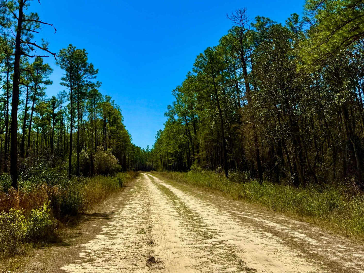
Long Bluff Road is the main trail in the western area of the park. It also extends south of the Beachline Expressway (State Road 528). There is an underpass that allows access to the southern end of the Tosohatchee WMA. Like many of the other trails in the WMA, it consists of a mix of sand, dirt, and packed clay. Long Bluff Road provides direct access to Lake Charlie, possibly the most popular area in the park. Fishing, birdwatching, canoeing, and picnicking are all available there. The trail also provides access to the trailhead to the Bumby Camp ruins, which is a short walk from the parking area. The trail is gated at the southernmost end but continues as a walking trail. Another vehicular trail bears to the left at the gate.
Photos of Long Bluff Road
Difficulty
Mostly sand and dirt. In some areas, the sand is a bit softer, but it can be run in a 2WD vehicle.
Long Bluff Road can be accessed by the following ride types:
- High-Clearance 4x4
- SUV
Long Bluff Road Map
Popular Trails
Camp Henderson Road
Rowletts Creek - FS 106S
Citrus Wildlife Management | Trail 10
Otter Camp South - FS 344
The onX Offroad Difference
onX Offroad combines trail photos, descriptions, difficulty ratings, width restrictions, seasonality, and more in a user-friendly interface. Available on all devices, with offline access and full compatibility with CarPlay and Android Auto. Discover what you’re missing today!