Indian Trail Road
Total Miles
2.9
Technical Rating
Best Time
Spring, Summer, Fall, Winter
Trail Type
Full-Width Road
Accessible By
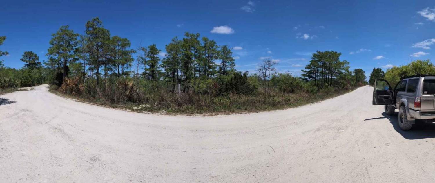
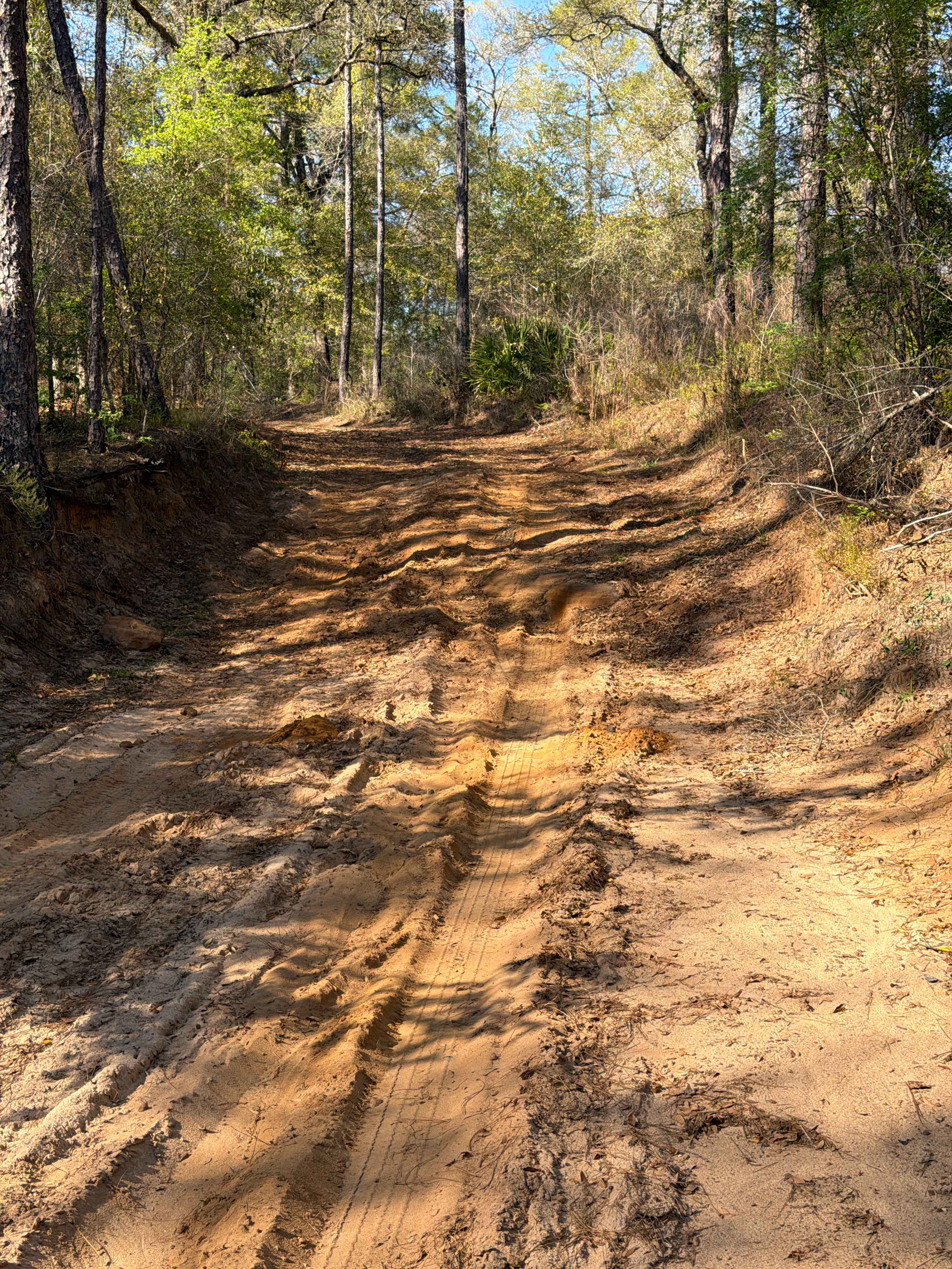
Trail Overview
Made up of gravel, this trail is used mainly to connect the South Grade Trail and the Stumper's Grade Trail. With the M-O Canal running parallel to the trail, you know right when you're on it! This trail gives beautiful views of sunrises and sunsets with a beautiful Florida Wilderness landscape. This trail also marks the southernmost portion of J.W. Corbett WMA.
Photos of Indian Trail Road

Difficulty
This is a two-lane wide gravel road with little to no difficulty. Any vehicle can drive through.
Status Reports
Indian Trail Road can be accessed by the following ride types:
- High-Clearance 4x4
- SUV
Indian Trail Road Map
Popular Trails


Miller Boulevard
The onX Offroad Difference
onX Offroad combines trail photos, descriptions, difficulty ratings, width restrictions, seasonality, and more in a user-friendly interface. Available on all devices, with offline access and full compatibility with CarPlay and Android Auto. Discover what you’re missing today!