Hog Valley Trail
Total Miles
12.8
Technical Rating
Best Time
Spring, Summer, Fall, Winter
Trail Type
60" Trail
Accessible By
Trail Overview
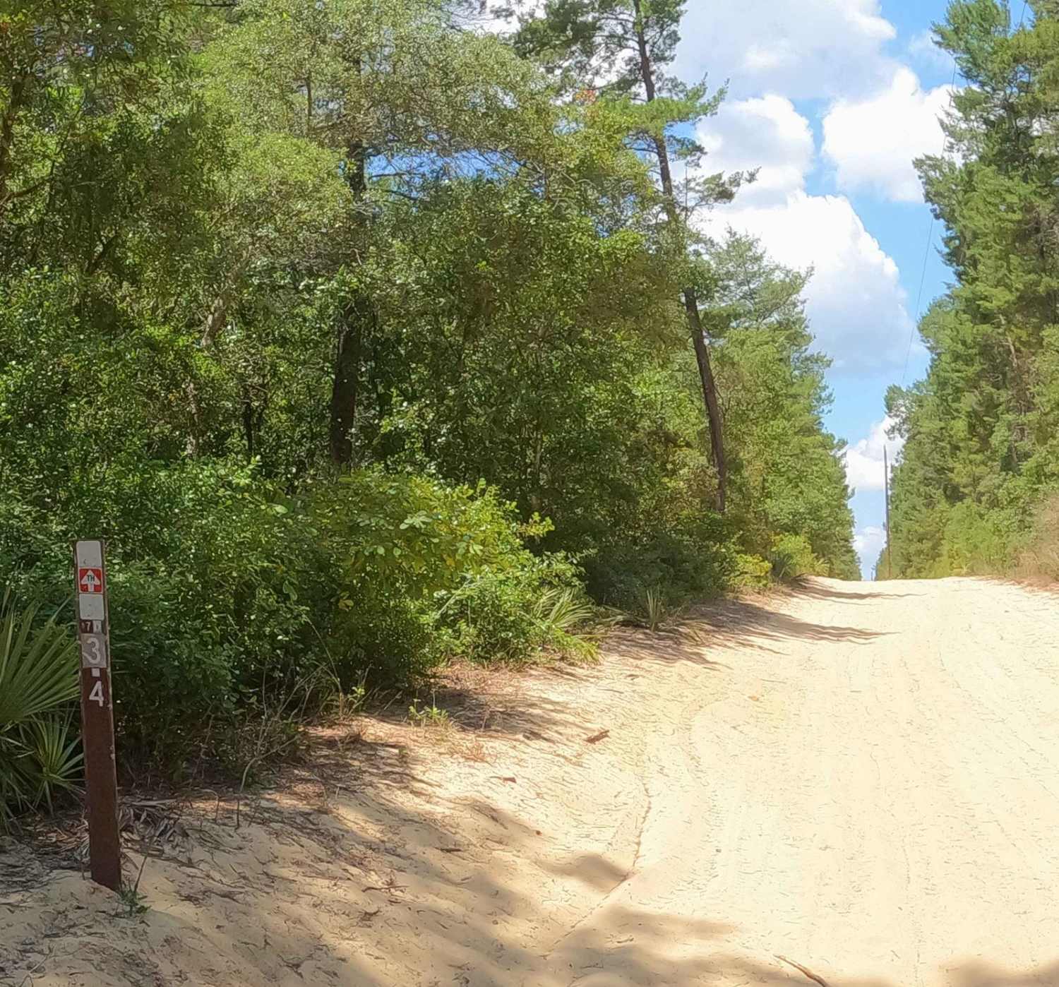
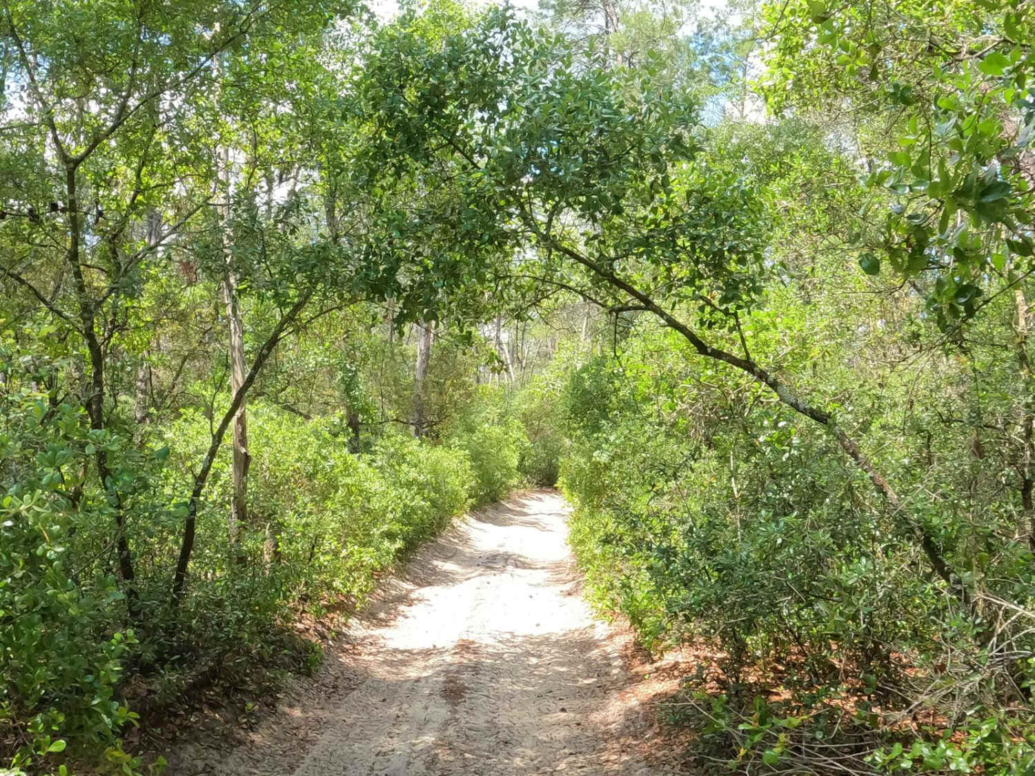
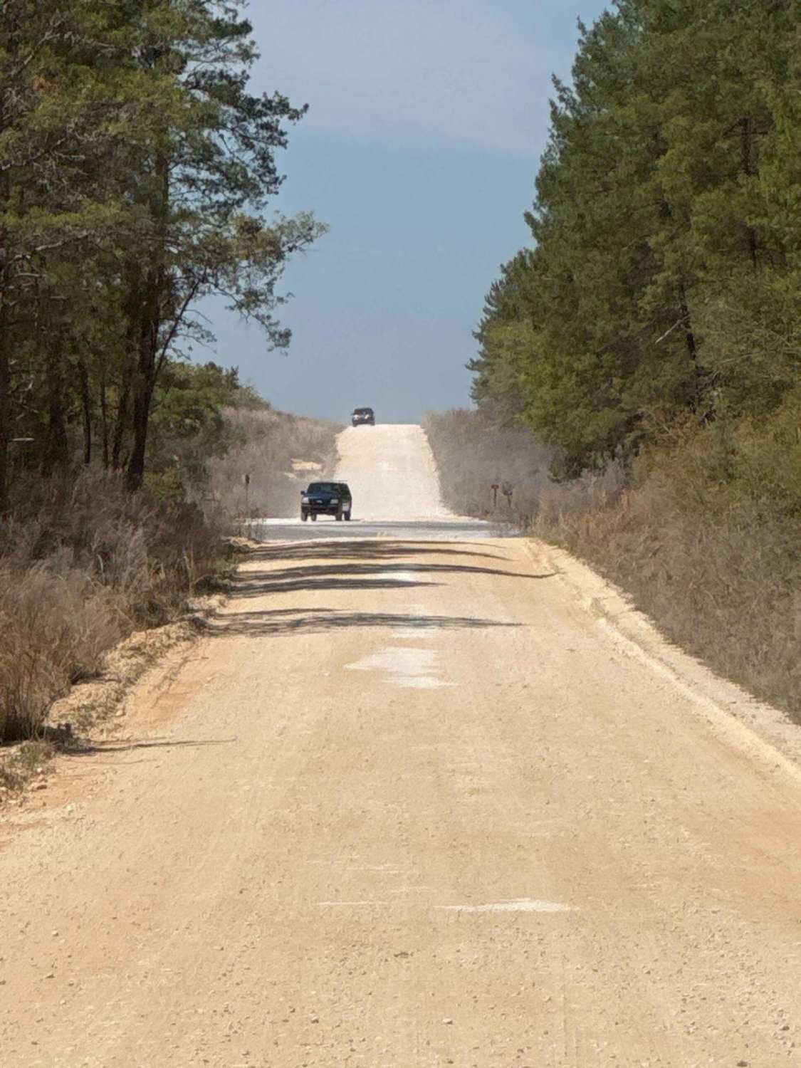
The Hog Valley Trail in the Ocala National Forest is a beautiful run through a dense forest landscape. The trail has several private and public trailheads, most notably accessible from the Rodman ATV trailhead that also serves the Longleaf Trail system. Access is also available from the Lake Oklawaha KOA for $20 a day with trailer parking. Trail access requires a permit from Recreation.gov (3 Day/$10, 7 Day/$25, and Annual/$75 as of 2024) and it is recommended that you print this pass and keep it with you. Beginning from the Rodman trailhead parking, you will follow the Longleaf Trail until you reach the trailhead for Hog Valley, noted by a red trailblaze with a white arrow (#70-3.4). As you climb the wide sandy hill, you'll encounter about 200 yards of whoops and ruts. As the powerline trail curves to the right at the top of the hill, you'll notice an offshoot on your left down into the woods. You can continue following the wide trail another half mile before beginning into the woods or you can take this path. They are both the Hog Valley Trail. The eastern side of the loop is tight, and it's not recommended for vehicles over 60 inches wide. The trail is notorious for pinstripes and roof knocking along the way. However, the trail is very well marked and not overly challenging, except for several blind corners and a few high sand bank turns. The trail joins up with several other trails along the way (Tobacco Patch Trail, Sandy Pipeline Run, and the Motorcycle Loop). The western side of the loop widens out some but is still only large enough for a single vehicle; it has several areas to pull off to allow other vehicles to pass, which the eastern side does not. As you ride into the northwestern section, several spurs lead to private access that is not clearly marked on the trailblaze except for a Good Sam sticker (leading to a housing development) on one trailblaze and "KOA" written in Sharpie on another. The trail to the KOA is a wide trail that is enjoyable and has several areas that have tree wells, whoops, and a few mud holes after rain. It's well-packed sand except for an intersection that is pretty loose sand if you wander too far off the main track. There is a large sandpit at an intersection further down the trail--very similar to a roundabout. Staying to the right of the sandpit leads to the KOA, and going through or around the sandpit straight leads to the housing development. The KOA makes for a great stop on a hot day and they're very welcoming. Ice cream sandwiches, popsicles, and cold soda are sold in the office. The north side of the trail loop narrows again but is not nearly as bad as the eastern side. You end back where you started on the wide sandy powerline trail, again with whoops and ruts that will lead you back to the Longleaf Trail and the Rodman Trailhead parking. The northern section of the trail seems to have the best cell service, however, cell service is spotty, so it's best to download your maps for offline use.
Photos of Hog Valley Trail
Difficulty
The trail is mostly well-packed sand, but there are sections of loose sand near all intersections. Several blind corners and high bank turns exist.
Status Reports
Hog Valley Trail can be accessed by the following ride types:
- SxS (60")
- ATV (50")
- Dirt Bike
Hog Valley Trail Map
Popular Trails

West Boundary North Section

Lam Horse Trail - ONF 22-0.3A
North Cross - ONF 66

The onX Offroad Difference
onX Offroad combines trail photos, descriptions, difficulty ratings, width restrictions, seasonality, and more in a user-friendly interface. Available on all devices, with offline access and full compatibility with CarPlay and Android Auto. Discover what you’re missing today!