FR 775-B
Total Miles
0.4
Technical Rating
Best Time
Spring, Summer, Fall, Winter
Trail Type
Full-Width Road
Accessible By
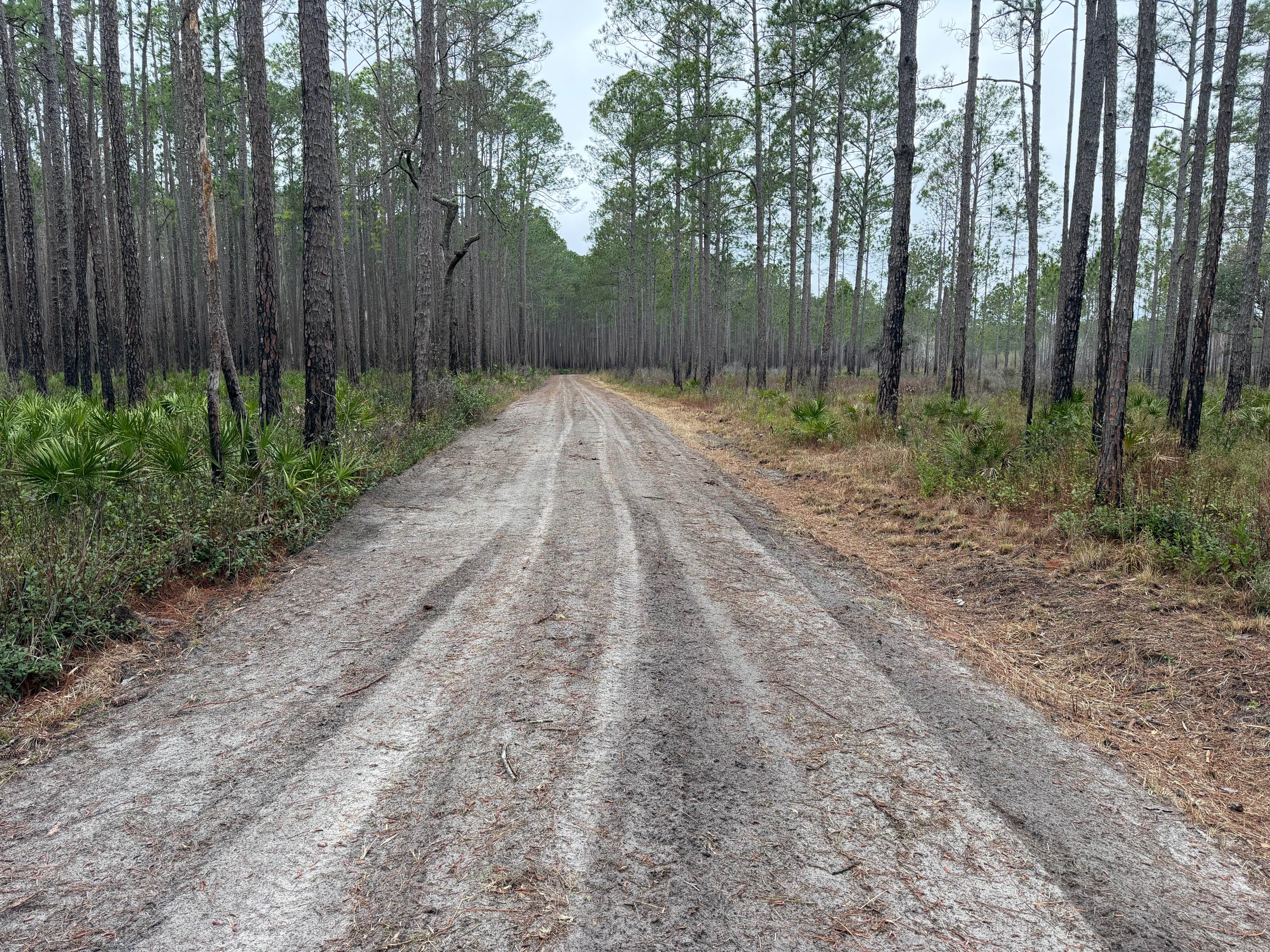
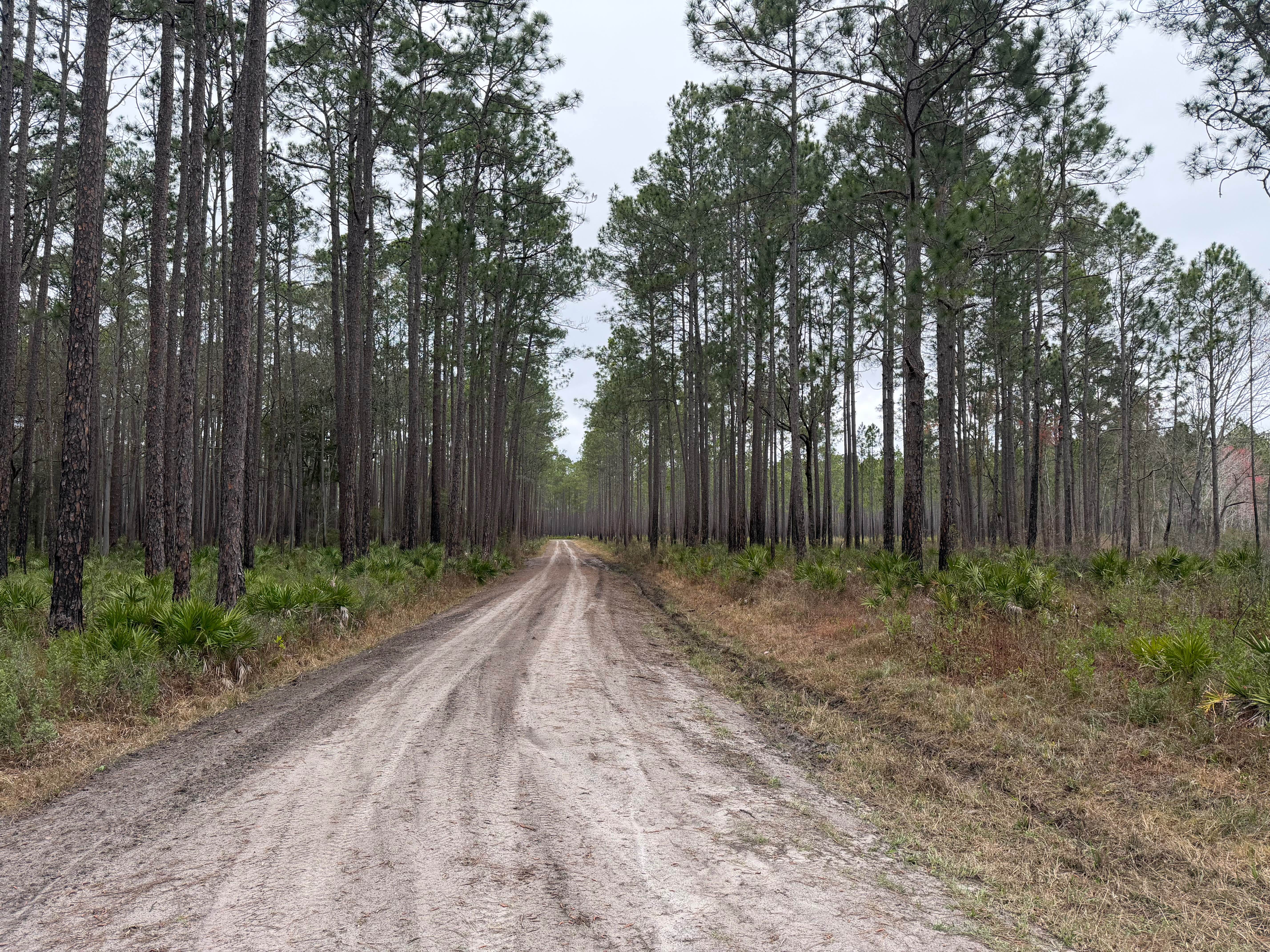
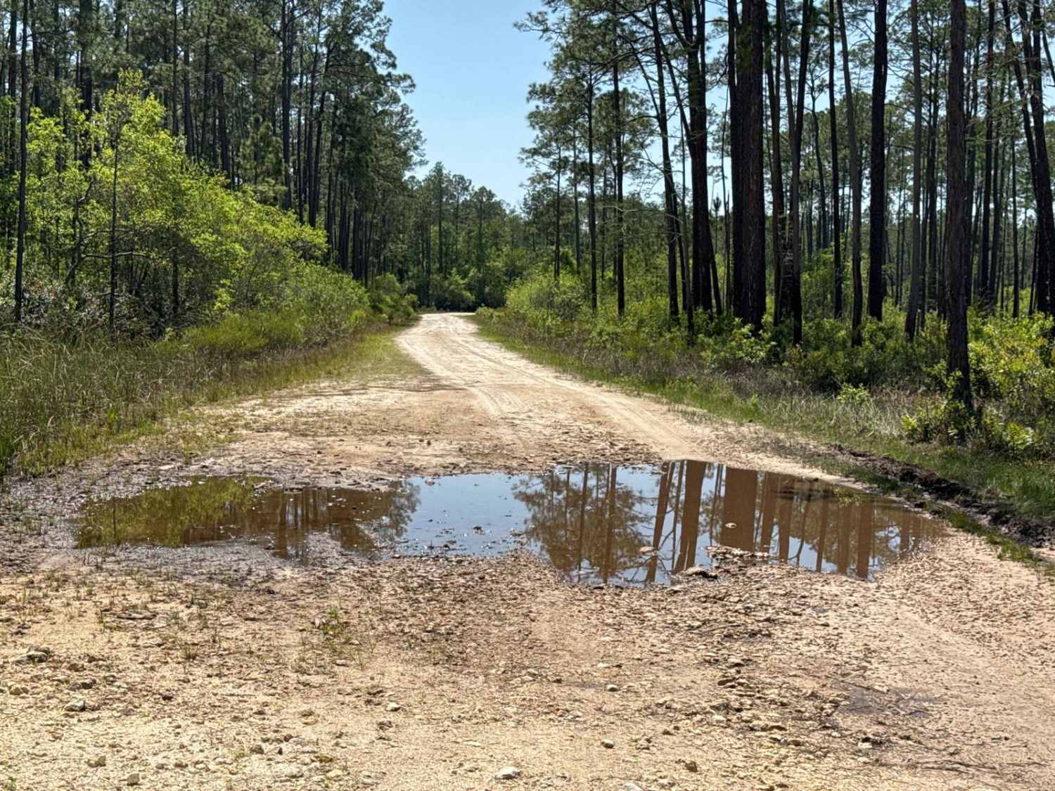
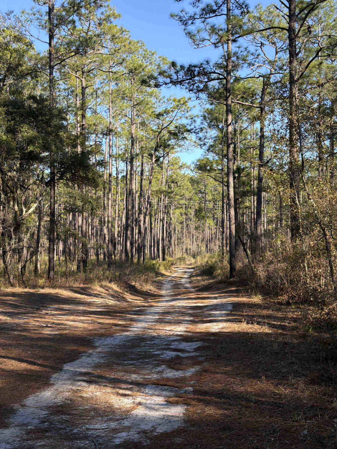
Trail Overview
This trail runs through the Osceola National Forest (NF) and Wildlife Management Area (WMA). The trail is open to public access year-round unless otherwise posted. The trail is open only to registered highway legal motor vehicles. All-terrain vehicles (ATV's), Off-Highway Vehicles (OHV's), Side-by-sides (SXS), and unlicensed or unregistered motorcycles are not permitted. The USDA Forest Service has published a free online "Motor Vehicle Use Map (MVUM), Osceola National Forest" that reflects and identifies this as one of the restricted access trails for highway legal vehicles only. There are no off-road vehicle (ORV) permits required, making Osceola NF the only NF in the state that does not require an ORV permit. Access to trails are year round, unless otherwise posted. This trail can be accessed via SE County Line Road from State Road 90 (SR 90) or one of the many intersecting trails that are found within the NF. Southeast County Line Road is an unimproved county right of way, and SR 90 is a state-maintained paved right of way. Those right-of-ways are limited to only highway legal vehicles. This trail offers a scenic pond overlook that can be used for parking and staging. There is an additional parking and staging area off FR 728. This trail is mostly a single vehicle-wide trail, having shoulders and areas to pull off for passing. This is an unimproved dirt trail that contains whoops, potholes, mudholes, and some very minor off-camber sections. Following rains and or storms, the trail may go unmaintained. The Department of Forestry (DNF) cautions on their website and published maps that the designation of a road or trail should not be interpreted as the trail is passable, actively maintained, or safe for travel. Seasonal weather may rapidly change the trail conditions. Trail conditions can deteriorate rapidly and may limit access to only high clearance 4WD following storms or rain events. These conditions may result in the trail becoming impassable. Maintenance of trails within the forest is limited due to available resources.
Photos of FR 775-B
Difficulty
Unimproved, uneven, rutted dirt trail with potential for loose debris (e.g. rock, tree branches, washes, etc.). Water crossings less than 12 inches, areas of loose sand or sandy washes, potential for mudholes or obstacles up to 12 inches. The trail is mainly single vehicle wide with areas to pass. Following storms or seasonal weather events, the trails may go unmaintained
Status Reports
FR 775-B can be accessed by the following ride types:
- High-Clearance 4x4
- SUV
- SxS (60")
- ATV (50")
- Dirt Bike
FR 775-B Map
Popular Trails
Natural Area - Osceola NF 277
Leslie - FS 362
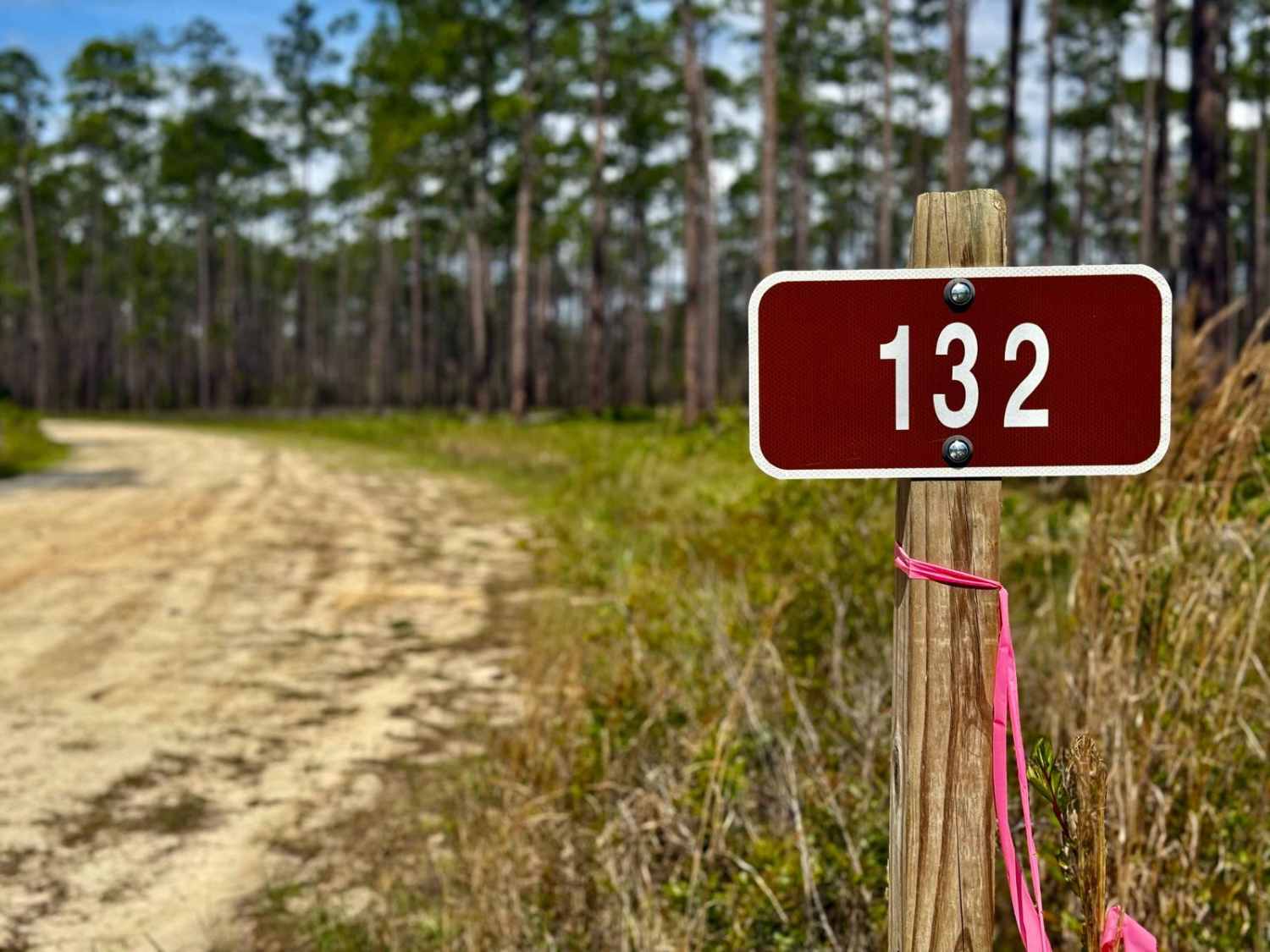
Hosford - FS 132
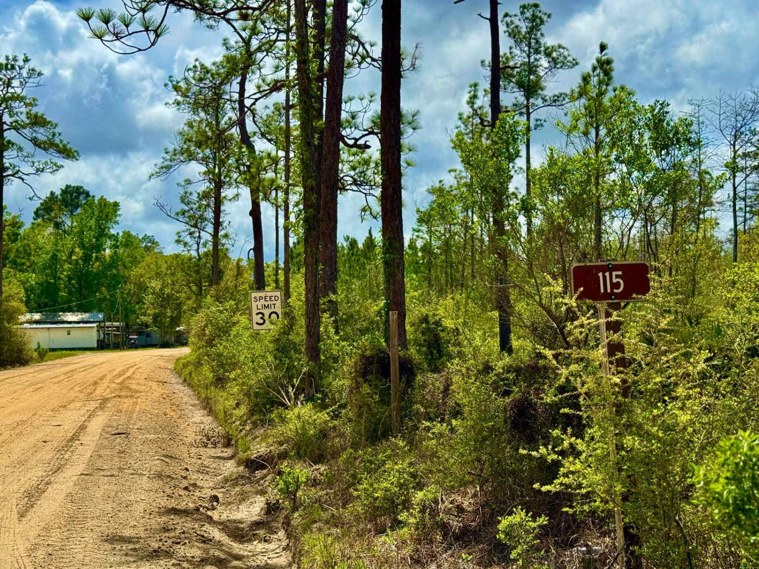
Big Cypress - FS 115
The onX Offroad Difference
onX Offroad combines trail photos, descriptions, difficulty ratings, width restrictions, seasonality, and more in a user-friendly interface. Available on all devices, with offline access and full compatibility with CarPlay and Android Auto. Discover what you’re missing today!