Dixie Mainline Road
Total Miles
8.5
Technical Rating
Best Time
Spring, Fall, Winter
Trail Type
Full-Width Road
Accessible By
Trail Overview
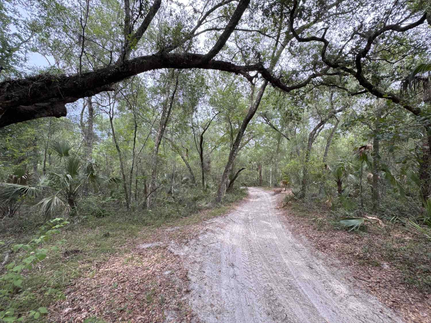
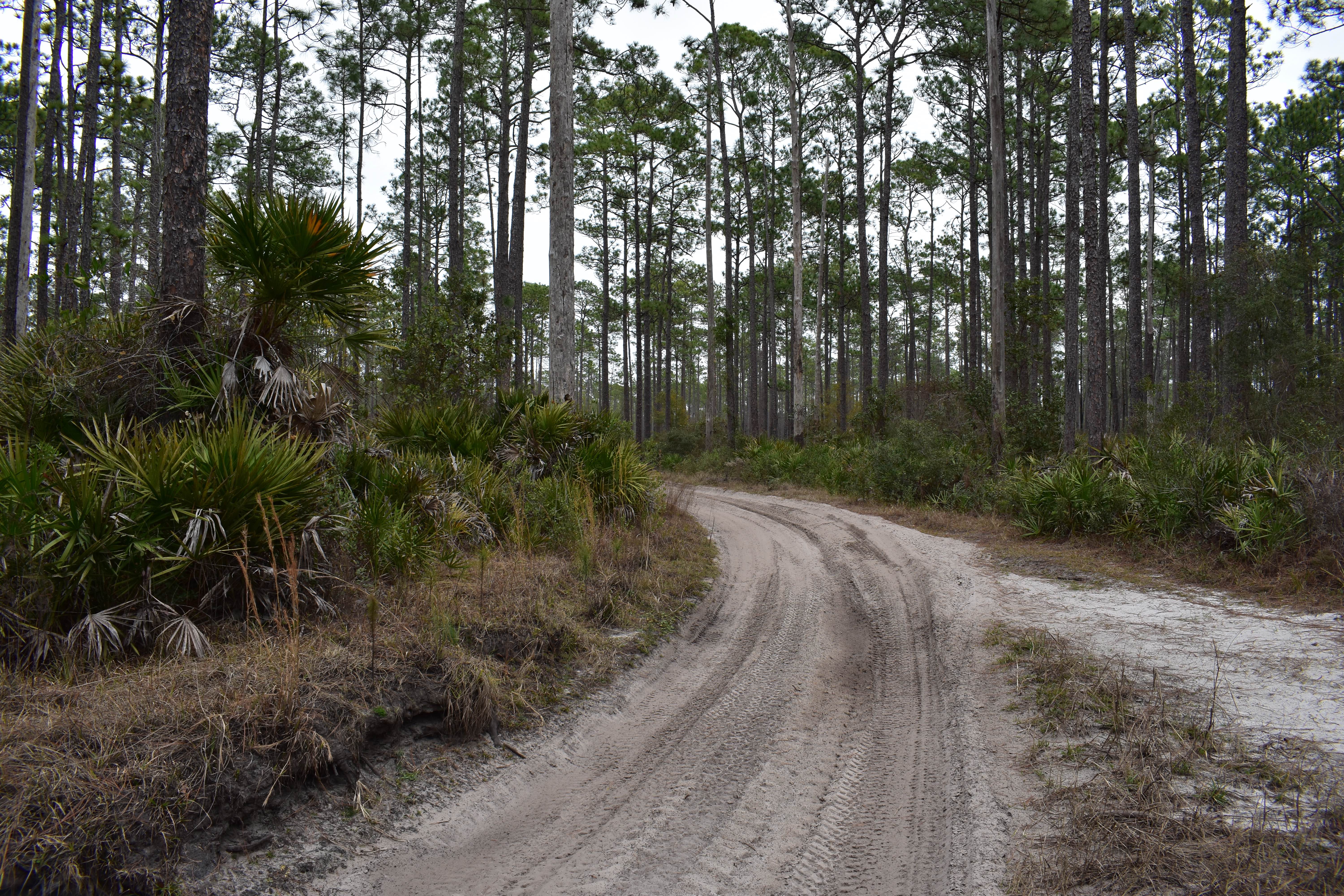
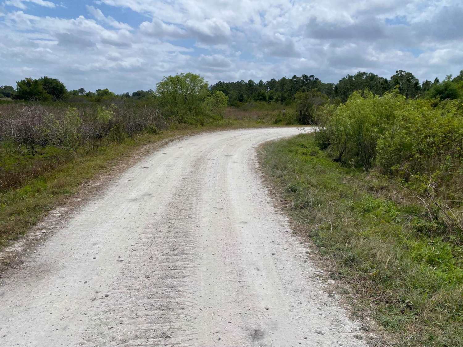
The Dixie Mainline Road is an 8-mile dirt road through the northern part of the Lower Suwannee National Wildlife Refuge. The trail gives you access to several hiking trails, ponds, and primitive boat ramps and connects County Road 349 and County Road 357. The road conditions are a mixture of packed sand, loose sand, and some deep holes that can turn into 2-foot deep mud holes after rainy days. The road is not always wide enough for two vehicles to pass. 4WD and high clearance are recommended. All vehicles must be street legal. ATVs are prohibited. The Lower Suwannee National Wildlife Refuge is unlike other Refuges in that it was not established for the protection of a specific species, but in order to protect the high water quality of the historic Suwannee River. The flow of the Suwannee feeds the estuarine waters of the Gulf of America, habitat for the Gulf sturgeon and feeding grounds for resident and migratory shorebirds, wading birds, and waterfowl.
Photos of Dixie Mainline Road


Difficulty
This is an easy, non-technical trail unless after heavy rain.
History
Located along the southern edge of the Big Bend Region of Florida's Gulf Coast, Lower Suwannee National Wildlife Refuge was established to protect this riverine and estuarine ecosystem dominated by fresh and saltwater wetlands.
Status Reports
Dixie Mainline Road can be accessed by the following ride types:
- High-Clearance 4x4
- SUV
- SxS (60")
- Dirt Bike
Dixie Mainline Road Map
Popular Trails
Sweet Springs - ONF 77
Albritton Loop

Lake Kerr Key - FS 316
The onX Offroad Difference
onX Offroad combines trail photos, descriptions, difficulty ratings, width restrictions, seasonality, and more in a user-friendly interface. Available on all devices, with offline access and full compatibility with CarPlay and Android Auto. Discover what you’re missing today!