Monarch Crest
Total Miles
7.5
Technical Rating
Best Time
Fall, Summer
Trail Type
Single Track
Accessible By
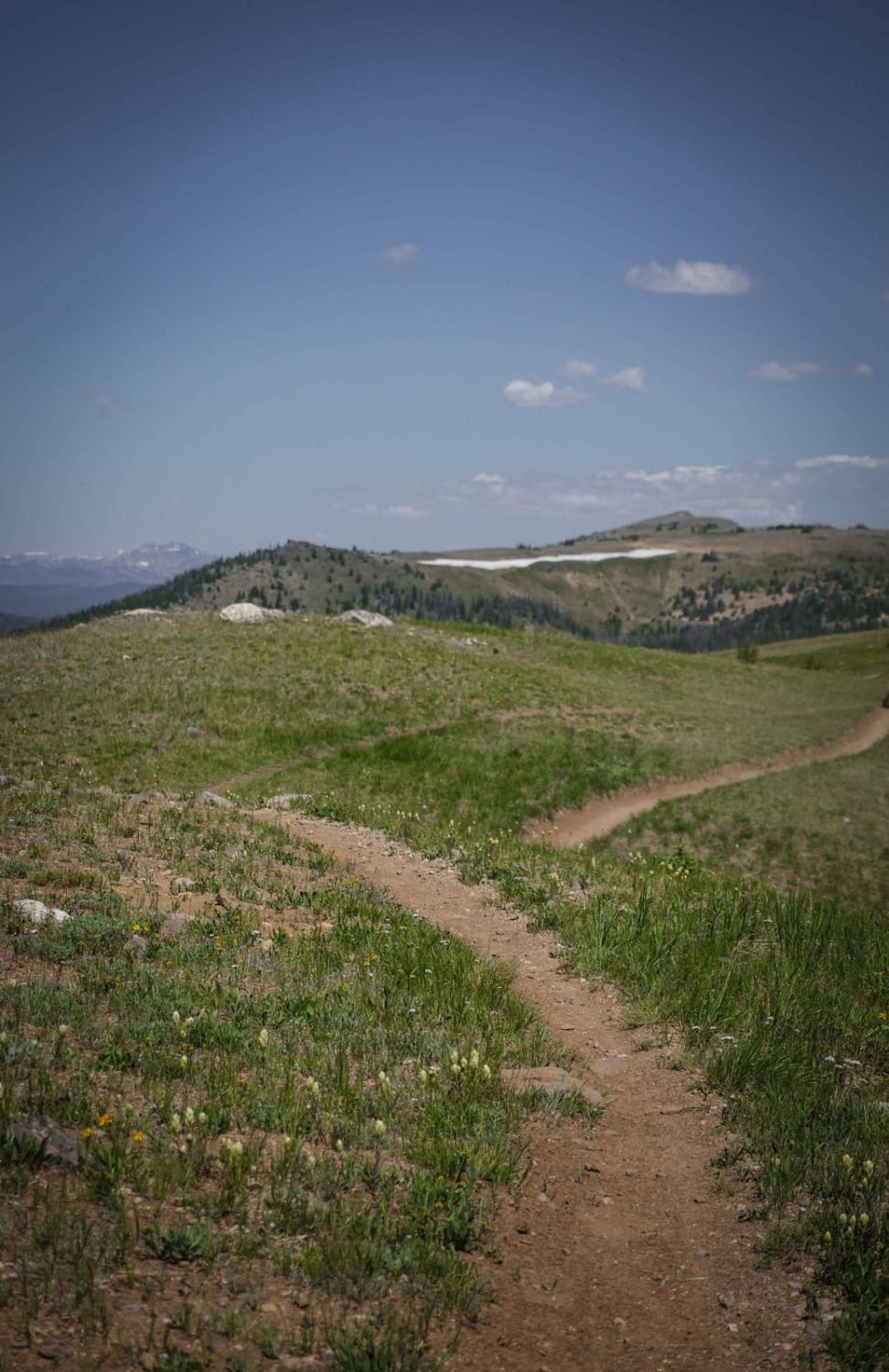
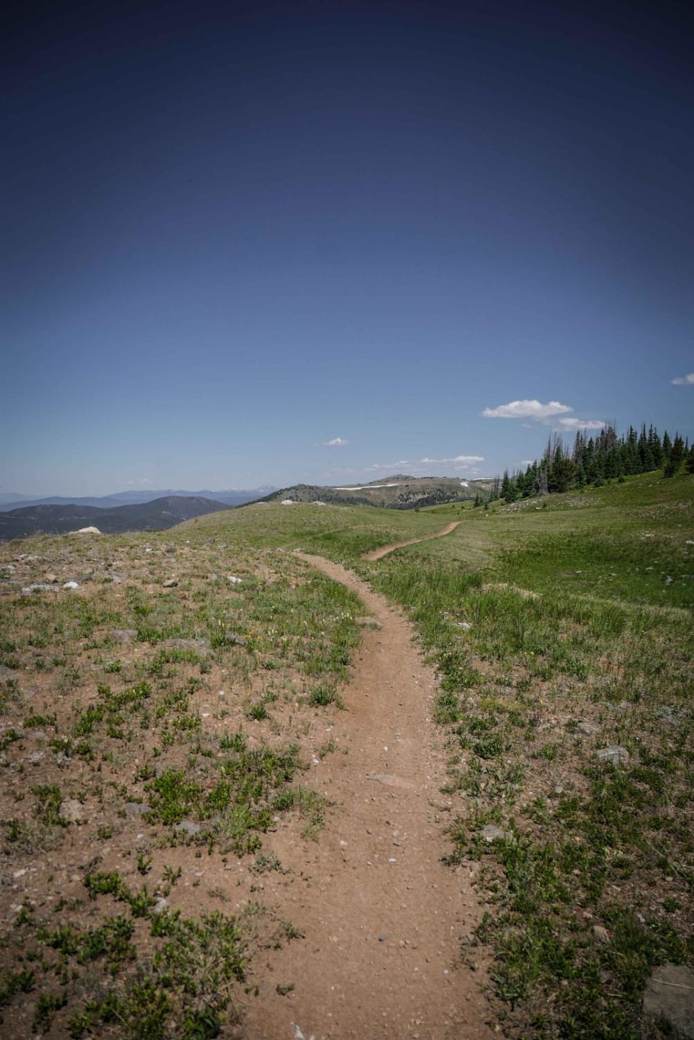
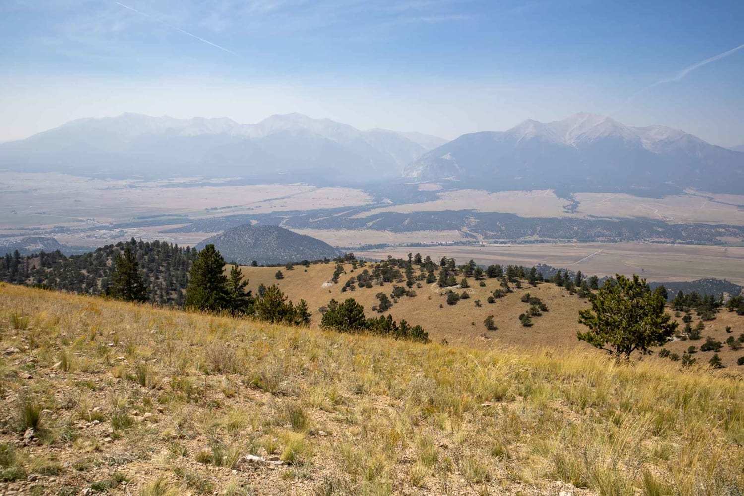
Trail Overview
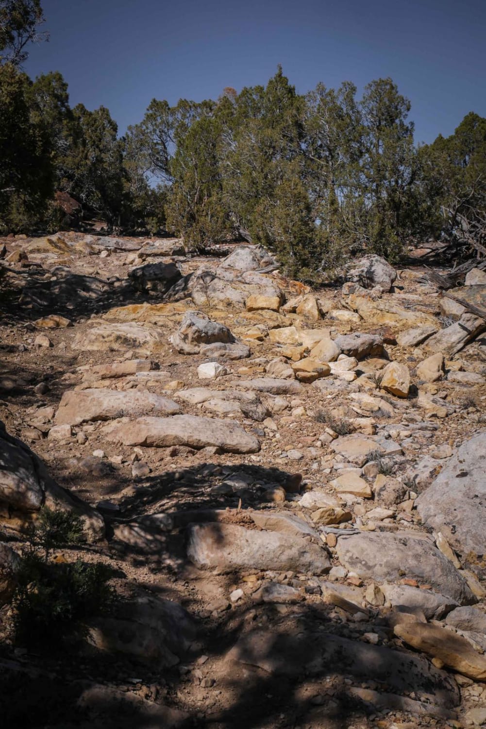
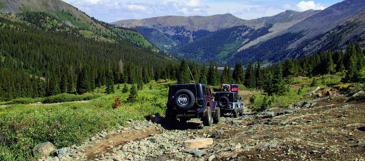
The Monarch Crest Trail is a 9-mile single-track trail that goes from the summit of Monarch Pass (Highway 50) south to Marshall Pass. It's a shelfy trail the whole way, side-hilling on a gradual mountain slope in and out of tree-line in the high alpine tundra. The trail rides along between 11,500 - 12,000 feet high elevation, giving incredible views of the peaks in the Rocky Mountain range. The trail has some loose rocks at times but is mostly smooth and flowy. It rides through open meadows, talus fields, and in pine tree forests. From the trailhead on Monarch Pass, you'll take a road for 500 yards and then the trail starts on the right. It passes two intersections with Greens Creek and Agate Creek, both of which are signed well and easy to follow. This trail also coincides with sections of both the Continental Divide Trail and the Colorado Trail, so you will likely see backpackers hiking through this incredible landscape. This is a really fun trail to ride that isn't too technical and has fantastic views the whole way.
Photos of Monarch Crest
Difficulty
This is an intermediate single-track trail with shelfy sections and loose rock, but it's not too difficult.
Status Reports
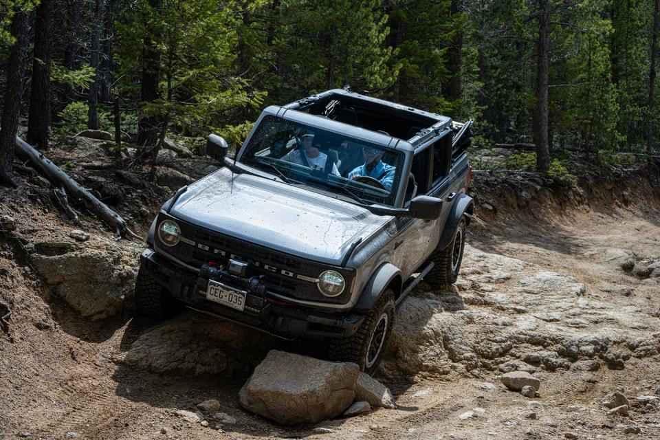
Monarch Crest can be accessed by the following ride types:
- Dirt Bike
Monarch Crest Map
Popular Trails
Bald Mountain Spur
Bunce School Road
Tincup Pass, St. Elmo
The onX Offroad Difference
onX Offroad combines trail photos, descriptions, difficulty ratings, width restrictions, seasonality, and more in a user-friendly interface. Available on all devices, with offline access and full compatibility with CarPlay and Android Auto. Discover what you’re missing today!